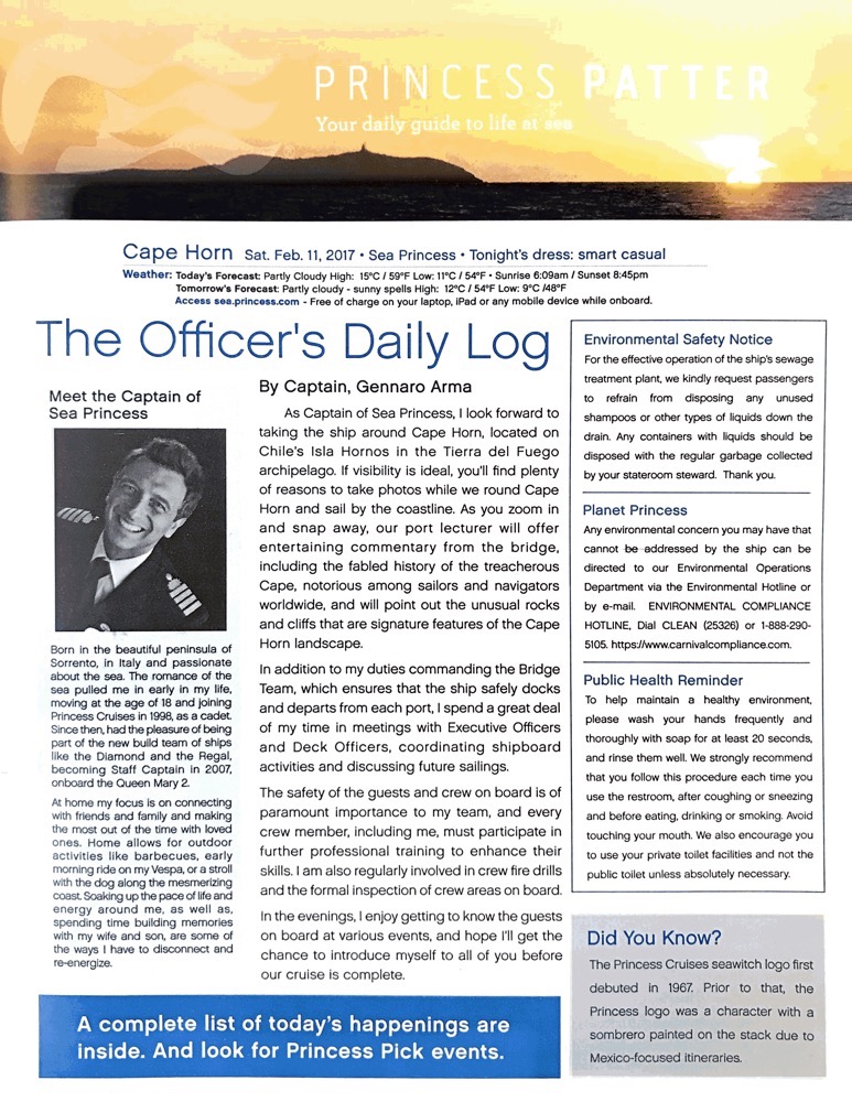
Cape Horn is the southernmost headland of the Tierra del Fuego archipelago of southern Chile, and it is located on the tiny island of Hornos Isla – named after the city of Hoorn in the Netherlands. Cape Horn is the northern boundary edge of the Drake Passage and is also the point where the Pacific and Atlantic Oceans collide; it is known for being particularly hazardous to navigate due to excessively strong winds, huge swell (not today), strong ocean currents and even icebergs which occur up to 50°, even in mid-summer (mid Feb).
“Rounding the Horn”, which we are doing this morning, is traditionally understood to involve sailing from 50° degrees South on one coast, traversing from the Pacific Ocean to the Atlantic Ocean (or vice versa) to 50° South on the other coast – the two benchmark latitudes represent a particularly difficult and time consuming endeavour and it involves travelling some 930 miles.
Today we have excellent calm conditions, not a lot of swell, the waves are nothing to be concerned about, but you can certainly feel the 75-80 knot Antarctic winds buffeting the ship about. There’s also a weird sideways drift feeling happening occasionally, which is probably the strong ocean currents pushing the ship around. I could be wrong, but I thought I heard the ship’s sideways thrusters working intermittently, which could be a way of attempting to counteract the current from pushing us off course? Not sure, I’ll have to ask one of the crew later.
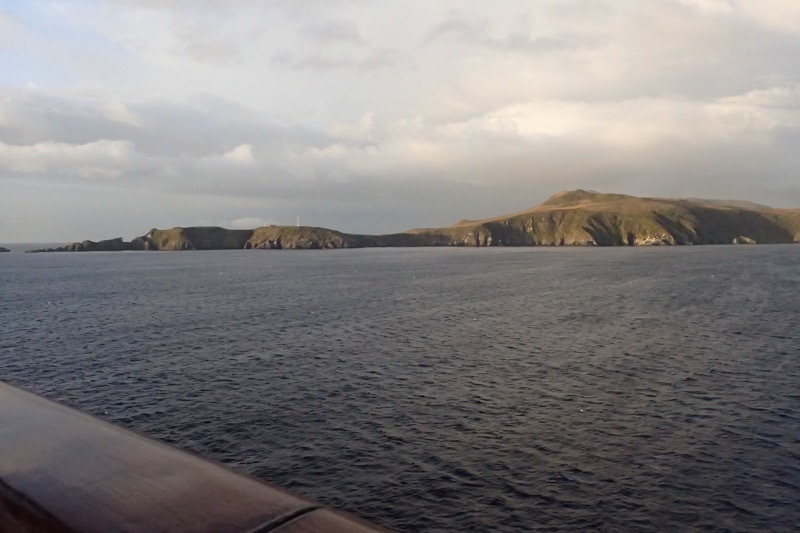
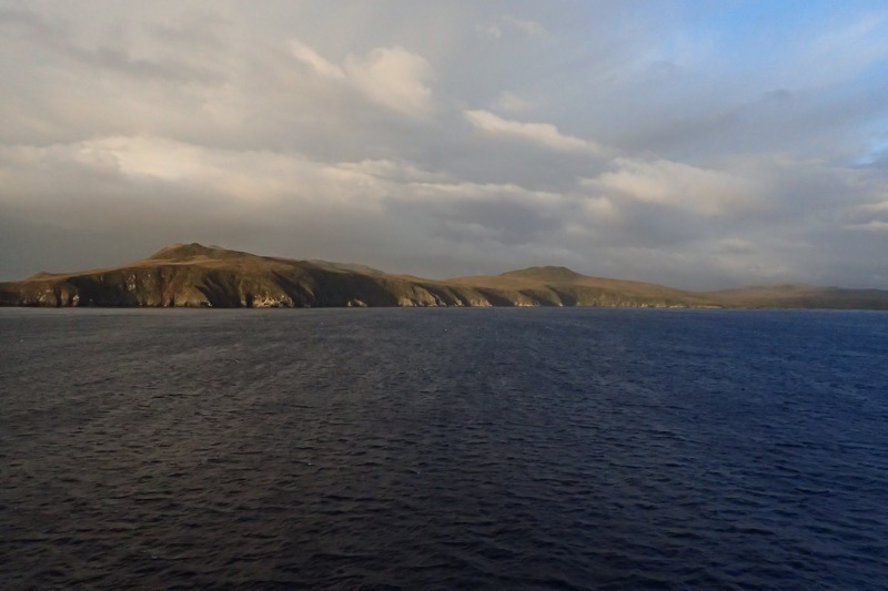
Cape Horn has been considered one of these most treacherous shipping routes int he world. Sailing conditions in the Southern Ocean are fierce at the extreme southern latitude of 56° South… to give some reference, the southern tip of Africa is only 35° South, and Stewart Island at the southern tip of New Zealand is only 47° South. Below 40° South, winds can blow from west to east around the world almost interrupted, which is where the ‘roaring forties’ name comes from.
I think most people have heard of the ‘roaring forties’, but not being from a sailing type background, I’ve never heard of the ‘furious fifties’ or the ‘screaming sixties’ before, but in the middle of that, is where we are right now. The winds are hazardous enough that ships travelling to the east tend to stay in the Straits of Magellan (and that is perilous enough in itself!) up in the northern forties if possible; however rounding Cape Horn requires ships to press south to 56° South which is smack-bang in the middle of the fiercest winds. The weather here is really changeable as well, as we approached the Cape, it was sunny, blue skies, windy of course, and a clear outlook; travel a few minutes, literally just a few minutes, and a few miles further south, and the skies have turned moody, the wind has picked up to ‘I can’t hear myself think’. This is because the winds are exacerbated here by the funnelling effect of the Andes Mountain range and the Antarctic Peninsular which forces any prevailing winds into the narrow Drake Passage.
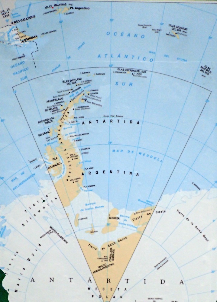 Naturally, strong winds tend to cause correspondingly large waves, and these large swells can roll around the entire Southern Ocean free of any interruption of land – that is until they hit the shallow waters to the south of the Horn, which causes them to be shorter (closer together) and steeper – again causing an additional hazard to ships as they have no time to recover from one steep wave before encountering the next. And if the strong eastward current through the Drake Passage meets an opposing east wind, this can have the effect of even further building up the dangerous waves. Oh, but wait… there’s more! On top of these ‘normal’ conditions, the area west of the Horn frequently experiences ‘rogue waves’ which can attain heights of up to 30 fucking metres! (98 feet!!!) OMG…!
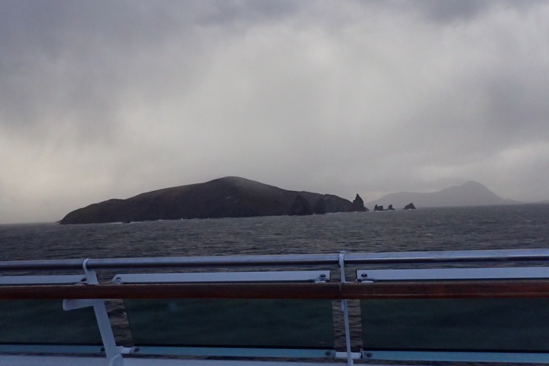
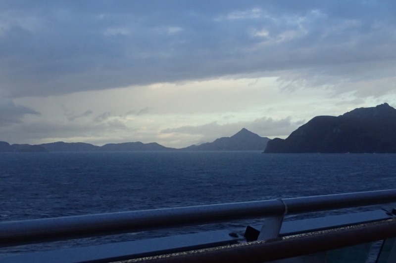
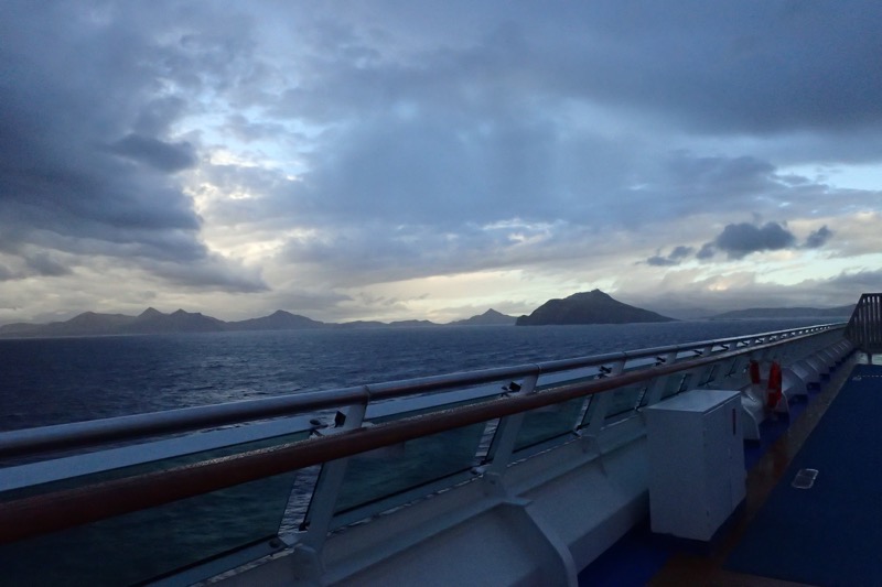 Between the horrid wind conditions, the treacherous currents, hazardous waves and oh dear lord, terrifying rogue waves, and ICEBERGS, it makes you wonder why anyone would attempt to sail around Cape Horn. It is no wonder that over the centuries, Cape Horn has gained notoriety as the most dangerous shipping passage in the world, has seen numerous shipwrecks, and has become known as a ‘sailor’s graveyard’. I can’t imagine someone in the 16th century with comparatively rudimentary navigational equipment and little to no support if something goes wrong, being too happy about having to ‘Round the Horn’ at all… but the Straits were just as treacherous with their own hellish windy conditions.
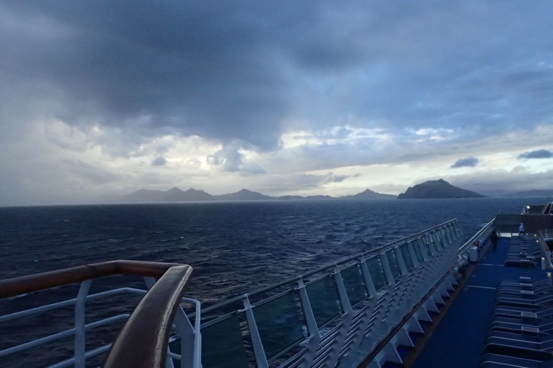 As we moved further around, we find things here are very changeable, as we sailed towards the Cape, it was sunny, mild and hardly any swell, but not five minutes later, the sky is turning moody, the swell has picked up, the currents are pushing the ship about, we are looking at a bit of rain and the wind. OMG, the wind! It’s unbelievable. On the outer decks, we are all leaning into the (bitingly cold!) winds to avoiding falling over. Opening the doors to the open decks has become a two person job, and it’s beanies and windbreakers for everyone, and the ship’s flags are snapping sharply. But then, just as our shore expert, Hutch, said, “Ladies and gentleman, you have now ‘Rounded Cape Horn, and we are officially in the Atlantic Ocean”, the wind dropped to almost nothing, it was weirdly still for a calm minute or so, and this is going to sound really twee, but a small rainbow appeared in the distance right over the Cape.
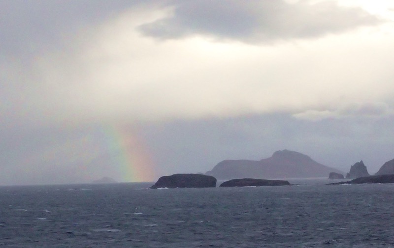
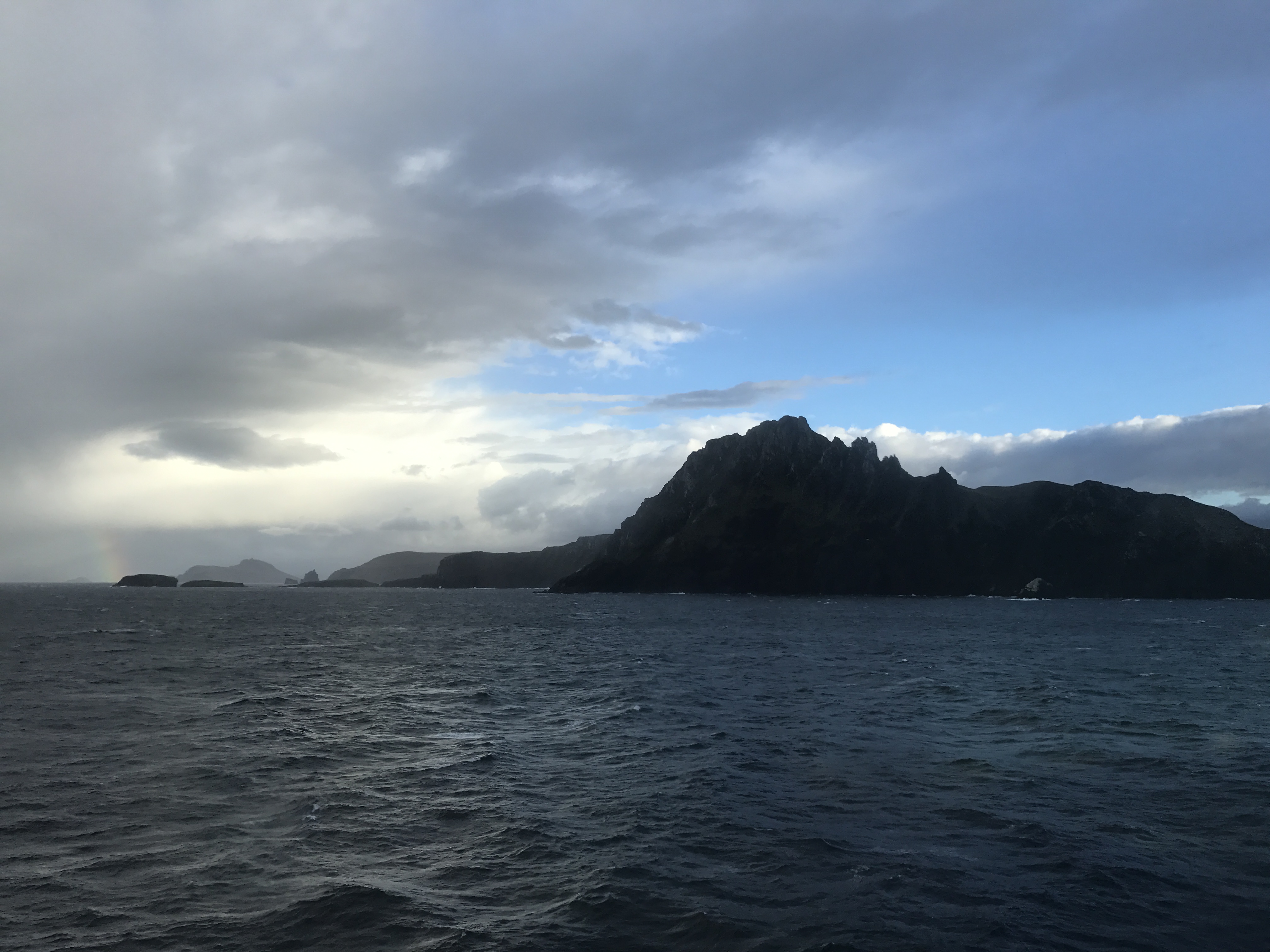
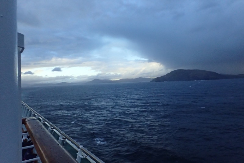 Traditionally, sailors who have rounded Cape Horn were entitled to wear a gold hoop earring in the left ear – the ear which would have been facing the Horn in a typical eastbound passage, like ours. Additionally, they say that these seasoned sailors were allowed to dine with one foot on the table, though for the life of me, why this is a ‘thing’ I don’t know. A sailor who had also round the Cape of Good Hope was allowed to dine with both feet up on the table. Feet on tables aside, it just sounds like good excuse to go buy some nice hoop earrings if you ask me. 😉 Seriously though – I don’t think our Captain would care which Horn you had rounded, if you had a go at putting your feet up on the table in the Main Dining Room, you might find yourself put off at the next port!
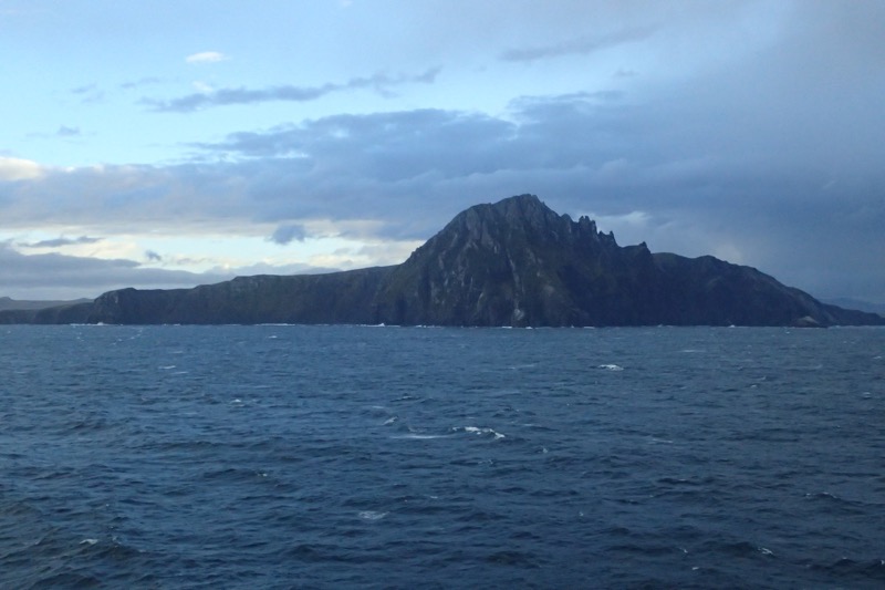
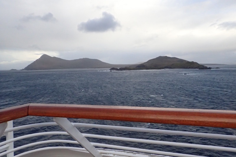
It was quite the experience watching the ship Round the Horn and seeing the rapid changes in the weather – even though we have what would be called damn near perfect weather for this area. I’m having another one of those moments where I’m thinking… Wow, just 15 months ago I was on the Caribbean Princess crossing 66° North into the Arctic Circle near Iceland, and now here I am literally round the bottom of the world at Cape Horn!
I never expected I’d be off travelling the world and doing all these amazing things. I’ve said it before, but I’ll say it again – I have no idea whose life I am living, but I am really getting worried they are going to want it back!

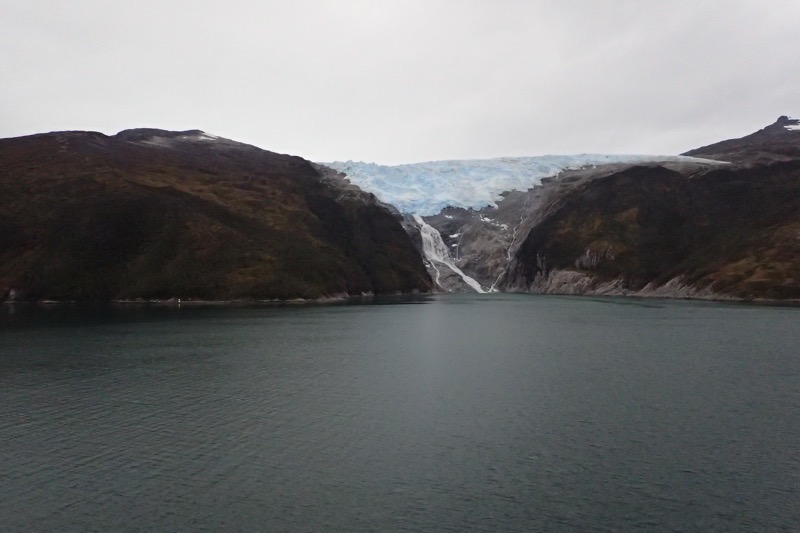
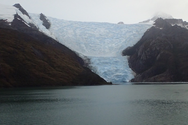
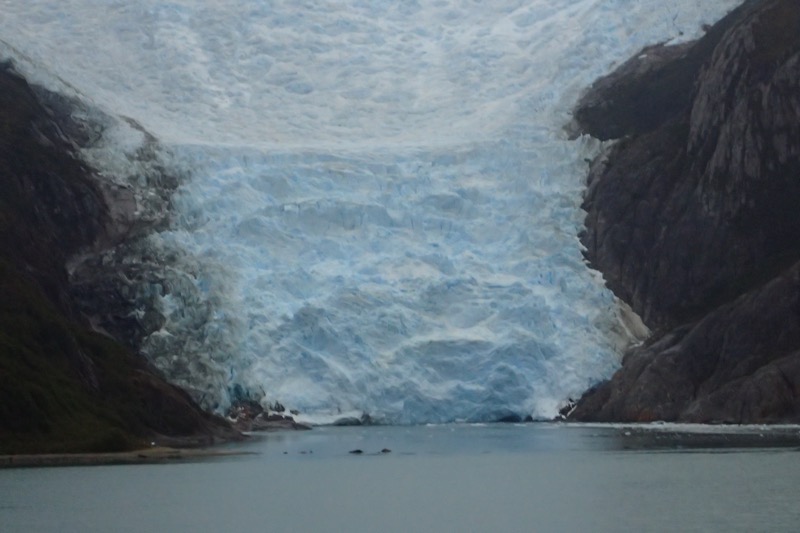
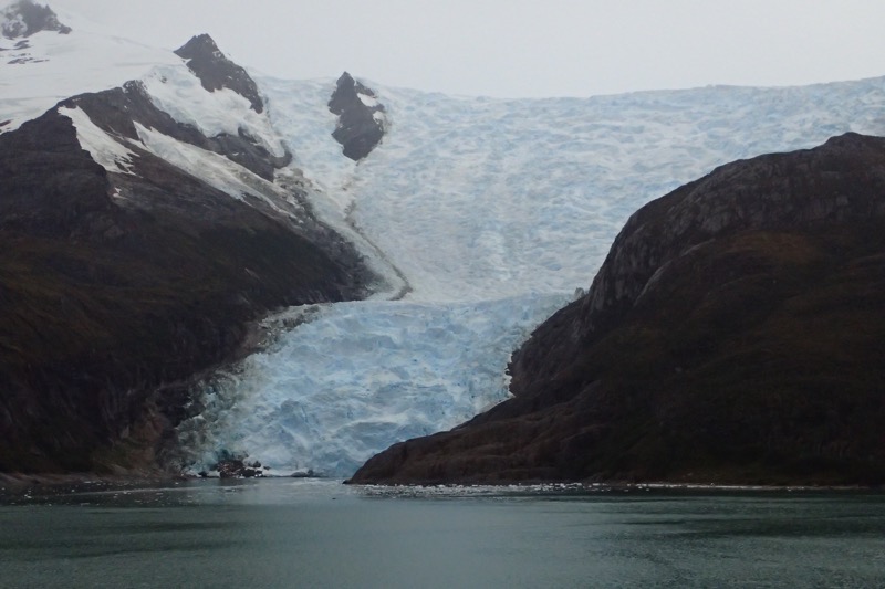
 Once at the port, we met our guide, Andres, and our trusty drivers, plural, for the day Coco, and Juan Emannuel (don’t ask, long story), and we head off towards the famous Train at the End of the World to take us into the Tierra del Fuego National Park.
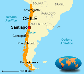
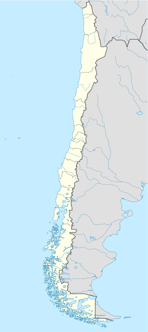
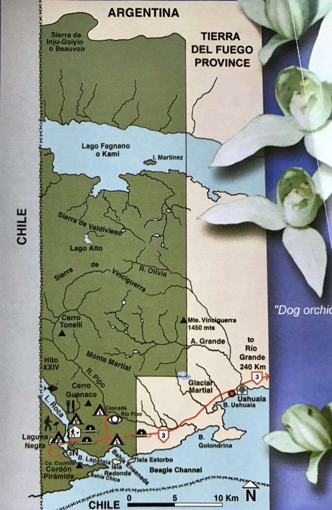 You can see by this map, that very little care was taken when drawing the boundaries between Chile and Argentina on this particular island – they have quite literally taken a ruler and sliced through the countryside, with one side of the mountain in one Chile, and the other half in Argentina. As we traversed the park, it was a bit, ‘Oh 3kms that way is Chile’… and ‘half of this lake is Chile, and that half of the lake is Argentina’. Seriously? That’s gotta make conservation efforts a little tricky!
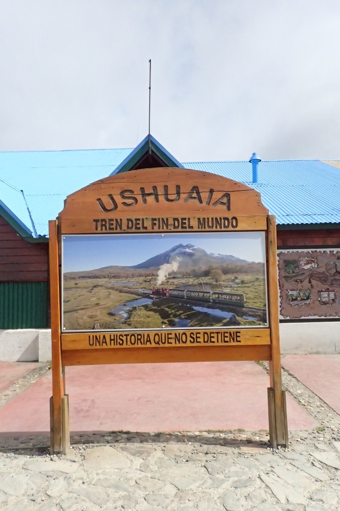
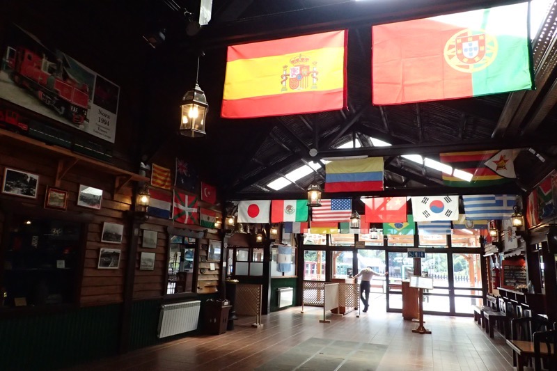
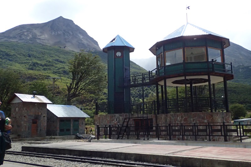
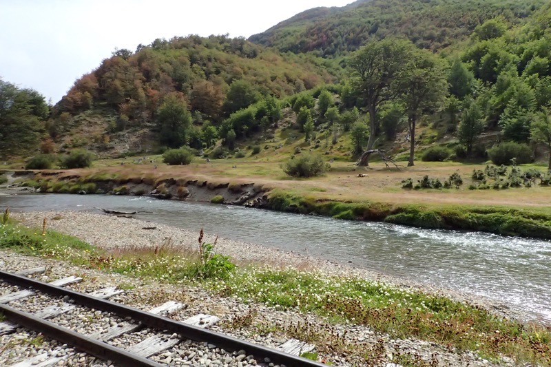
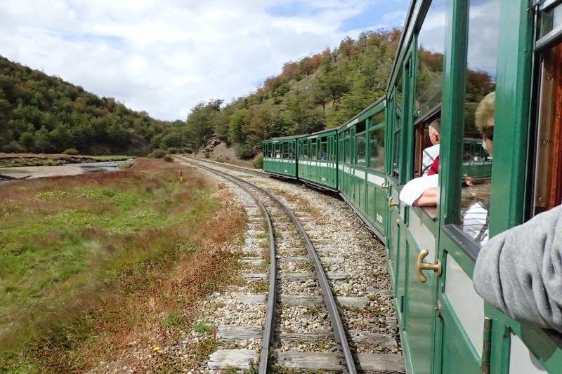
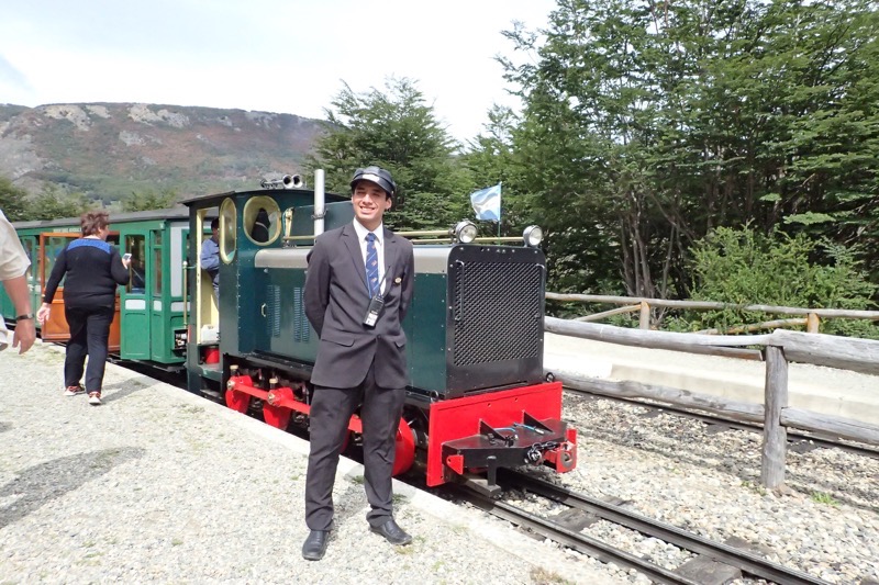
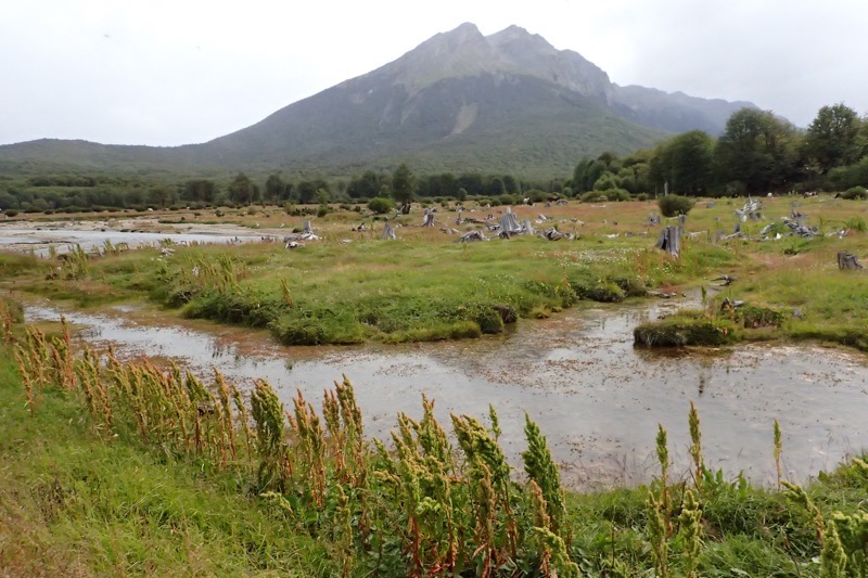
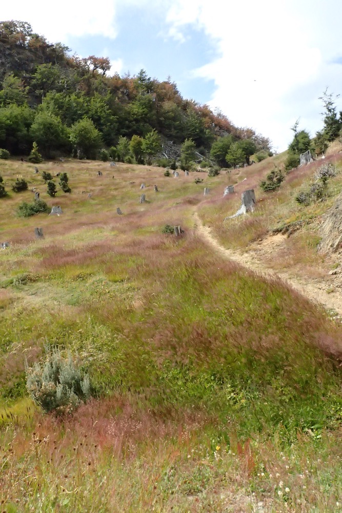
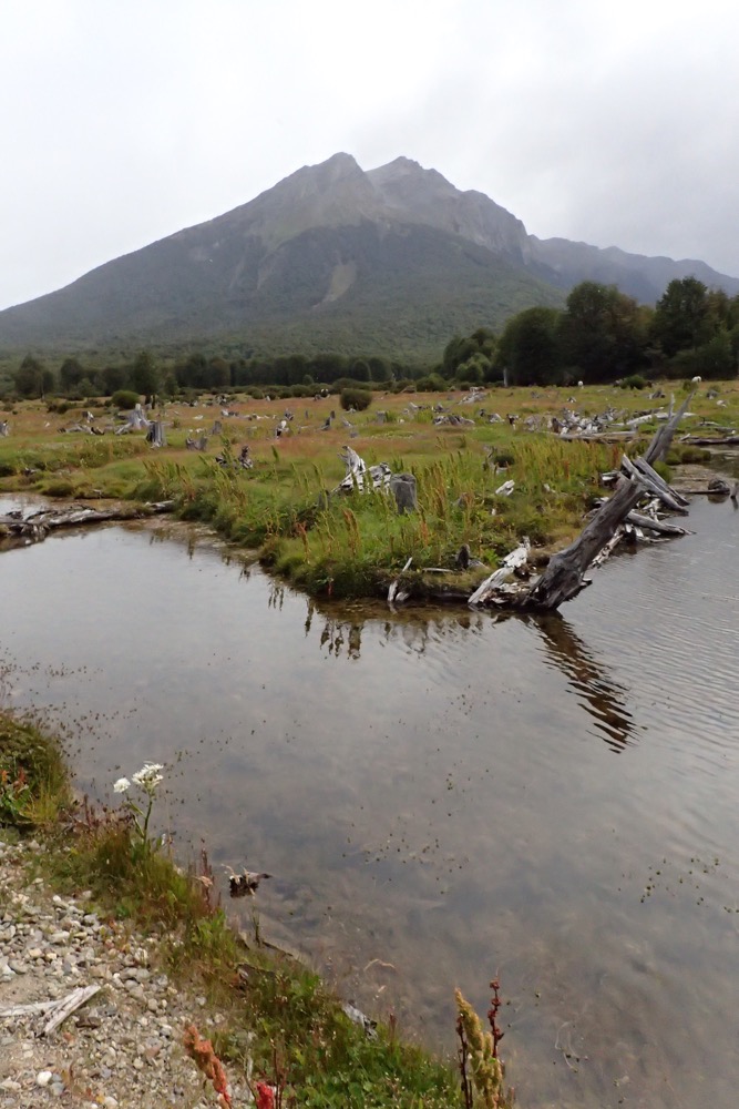
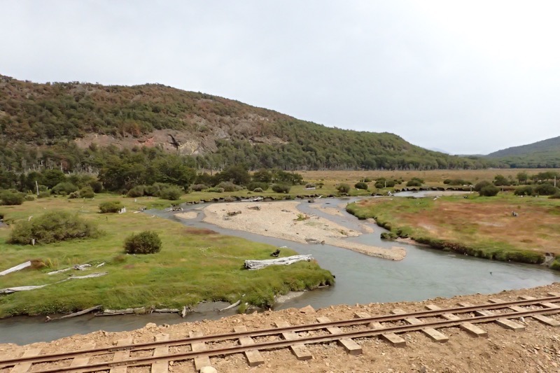
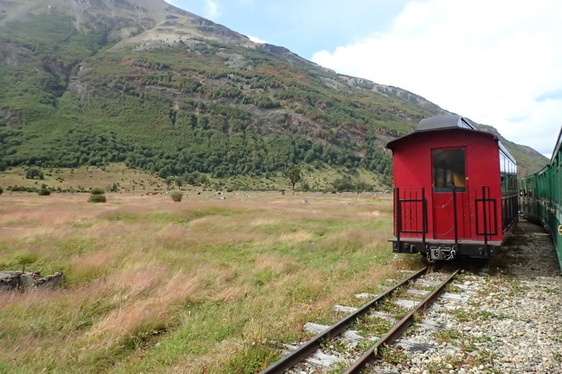
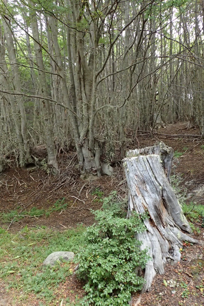
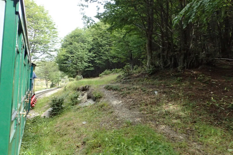
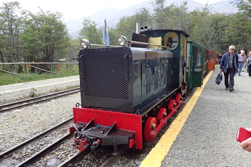
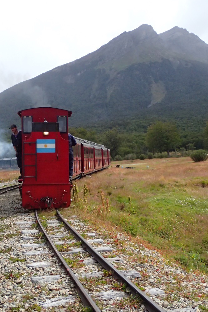 After our train journey, Andres and Juan-Emmanuel picked us up and took us to a few different areas of the National Park.
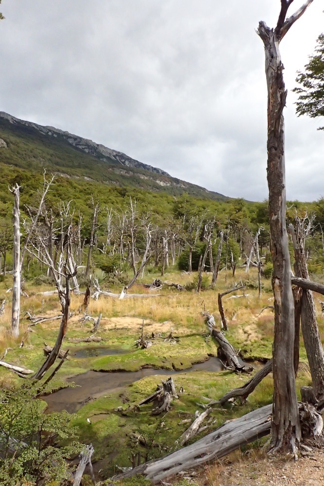
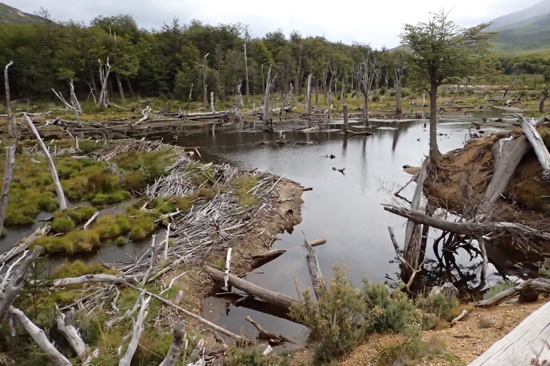 After this we went to the actual (literal or metaphorical, I am not entirely sure?!) ‘End of the World’ site within the park.
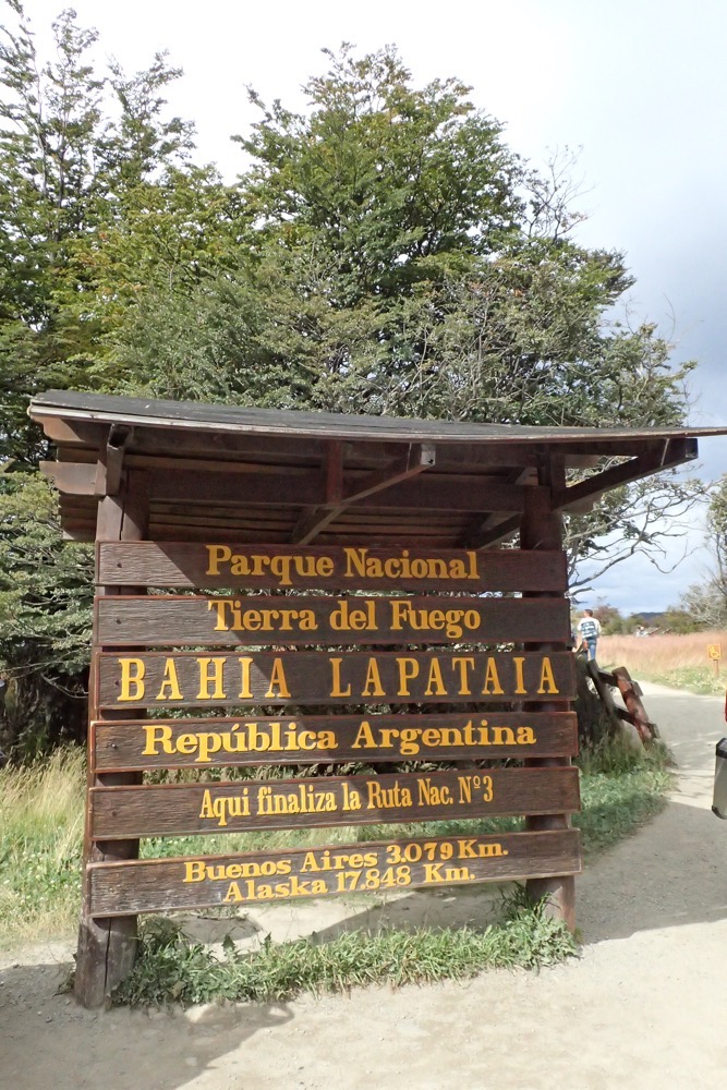
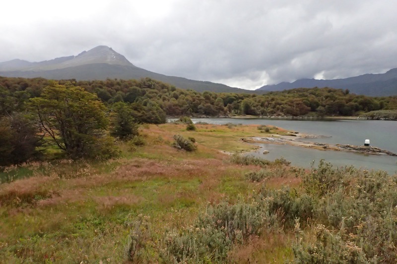
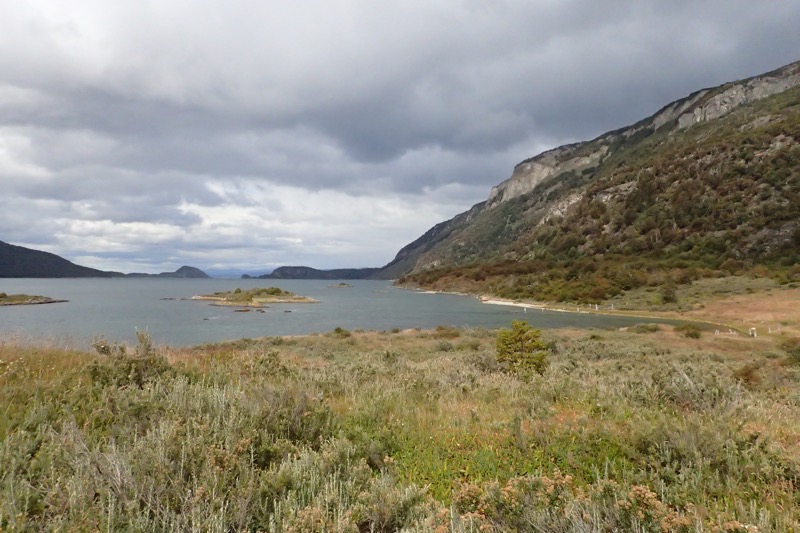
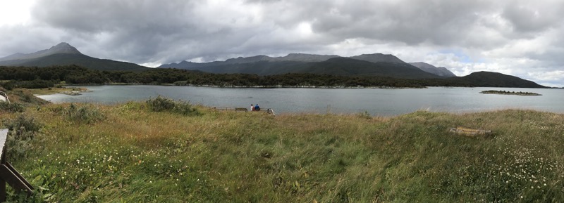
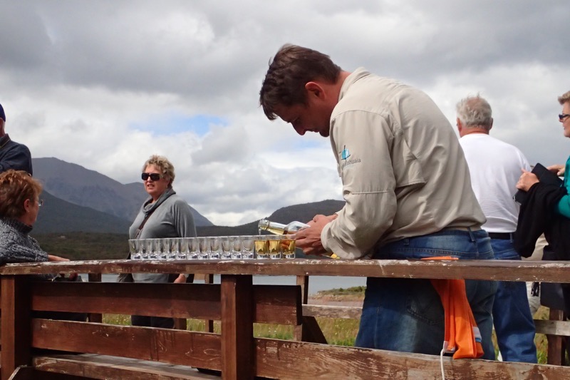
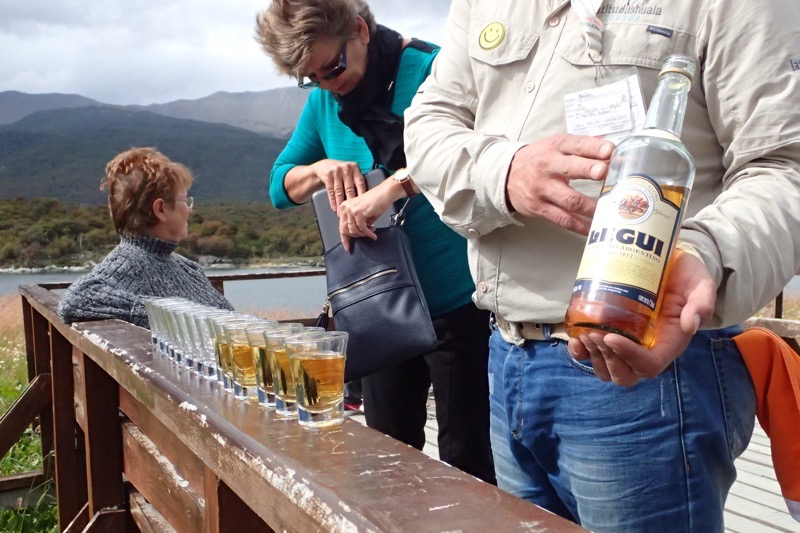
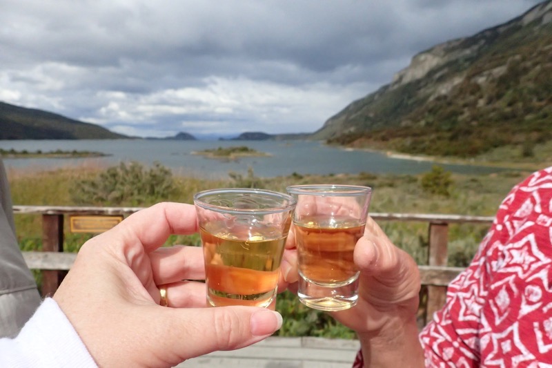
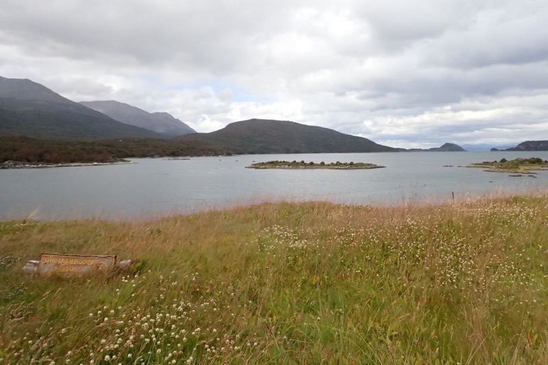
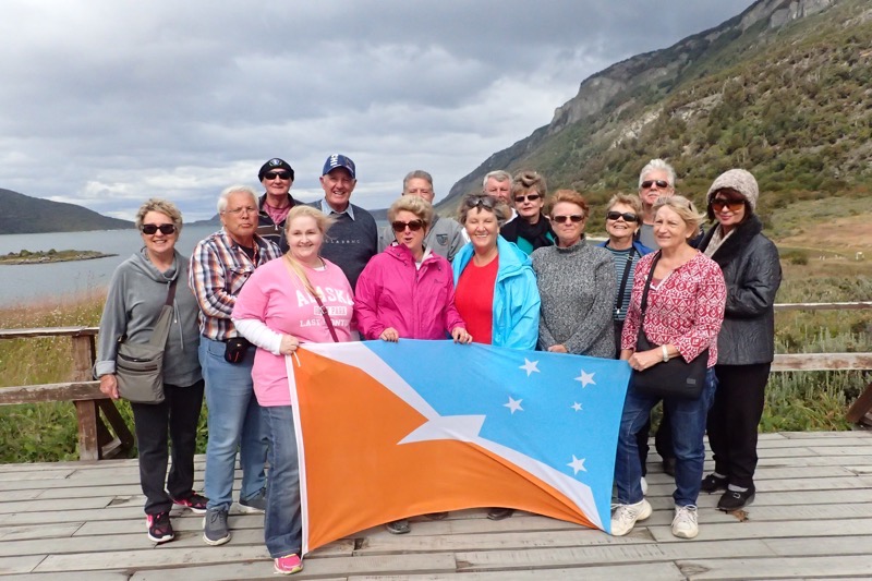
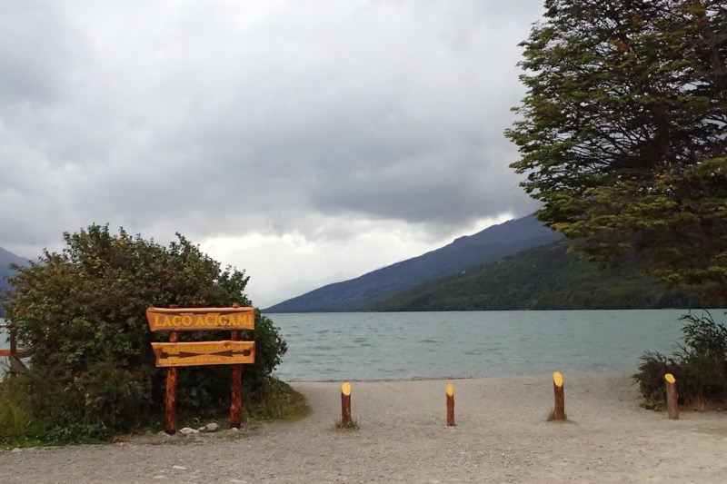
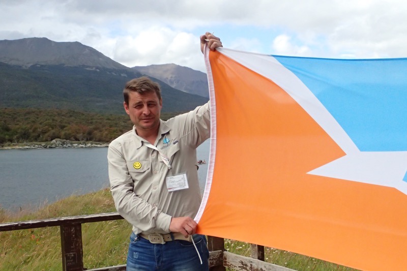 After enjoying our Legui, the scenery and admiring the landscape, we returned to our bus and took a short drive through the National Park to a beautiful lake; Lago Acigami.
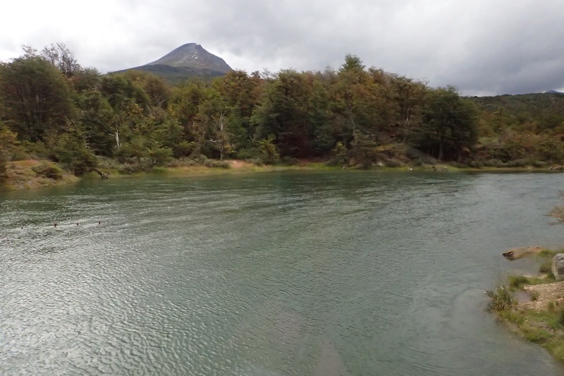
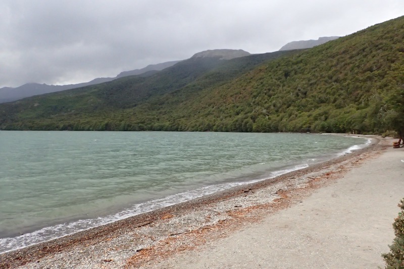
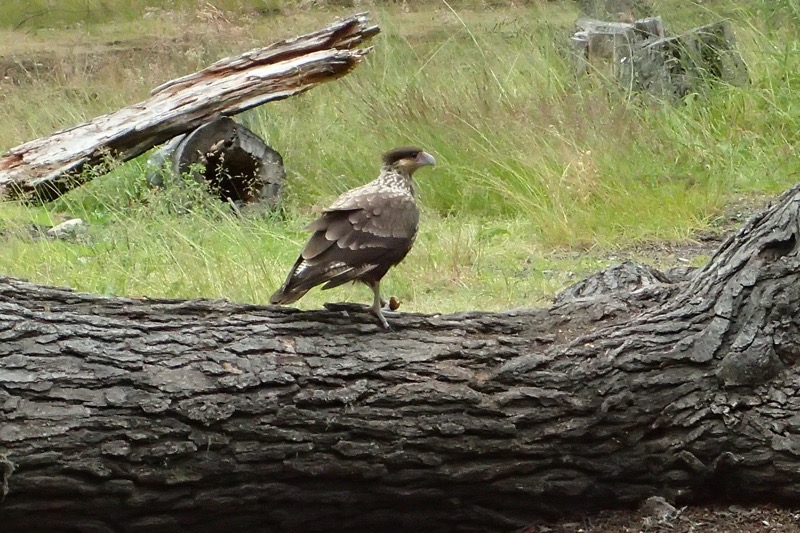
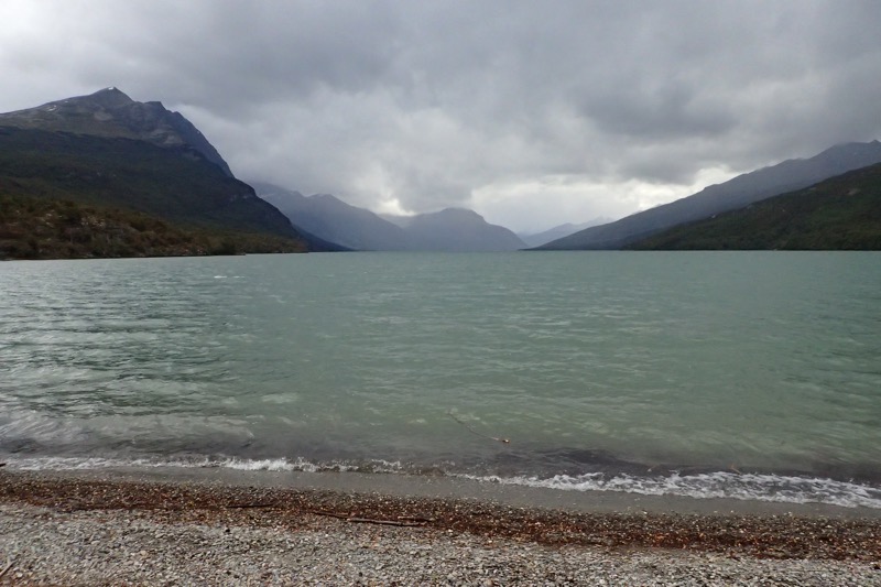 Nearby at the lake we saw some caro caro birds – a native scavenging bird about the size of a smallish eagle.
 Further into the park, we went to the post office at the End of the World, where they often drop tourists to get a special stamp in your passport to show your travels to Ushuaia.
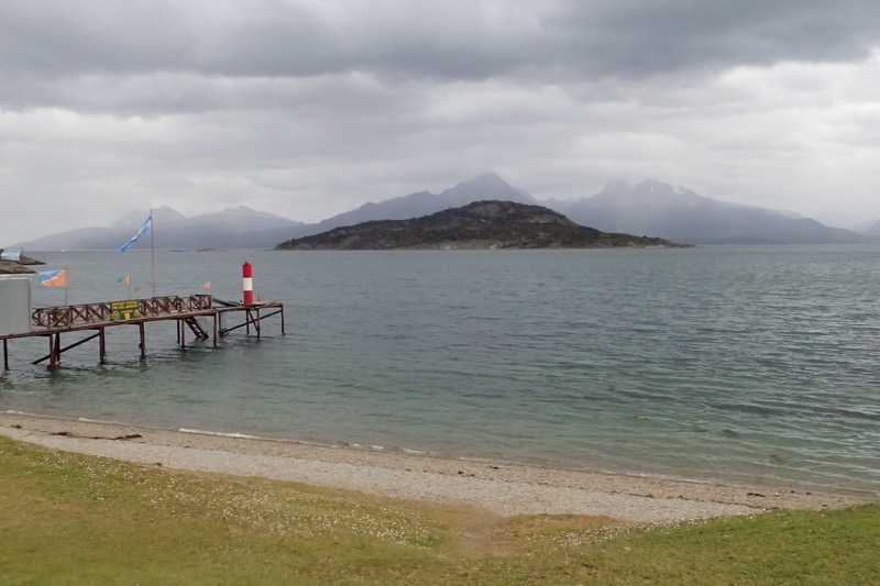
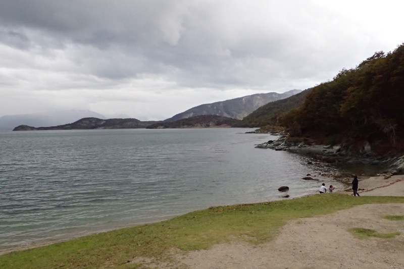
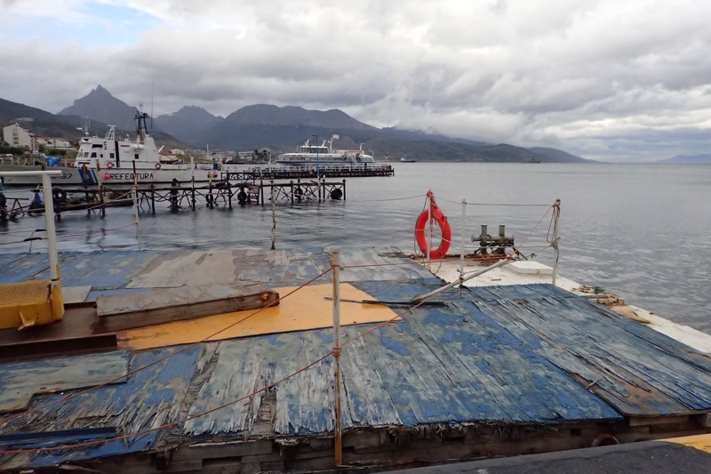
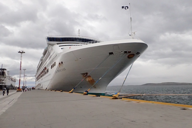
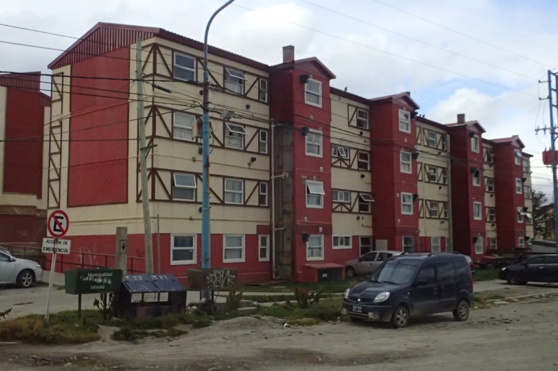 After a short wander around town to pick up supplies (read: Legui to bring home!) we went back to the port and were swiftly back home on ‘ze friendliest ship on ze seven seass, ze beautiful Sea Princess’.
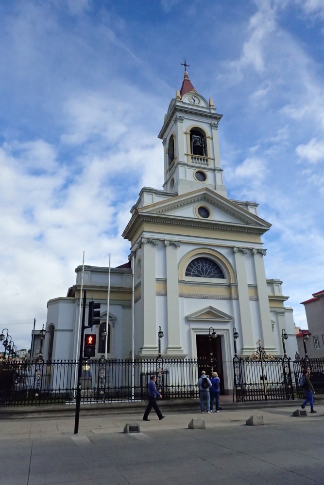
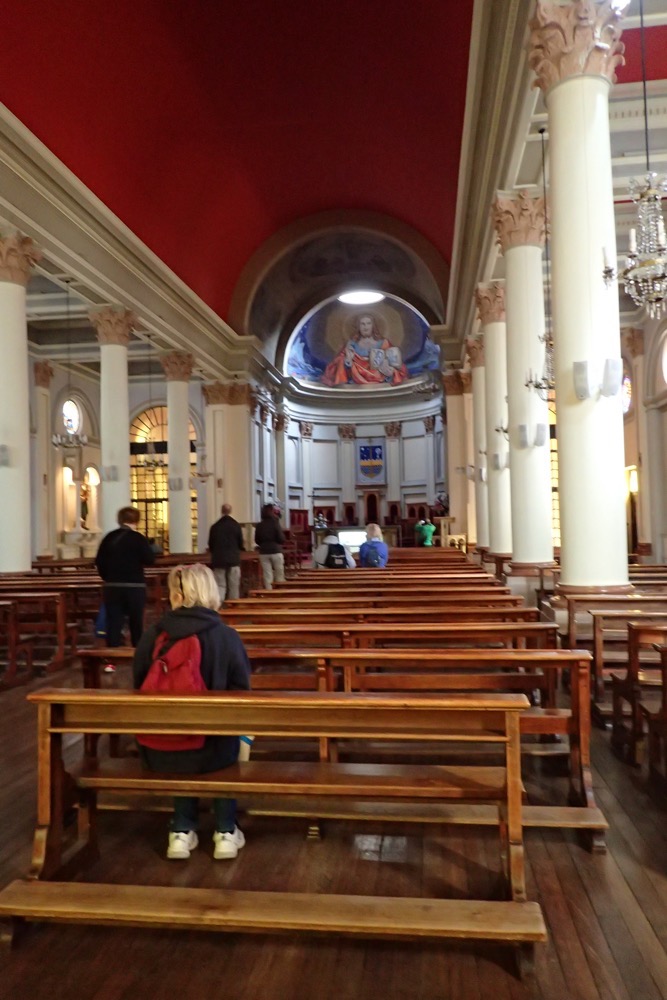
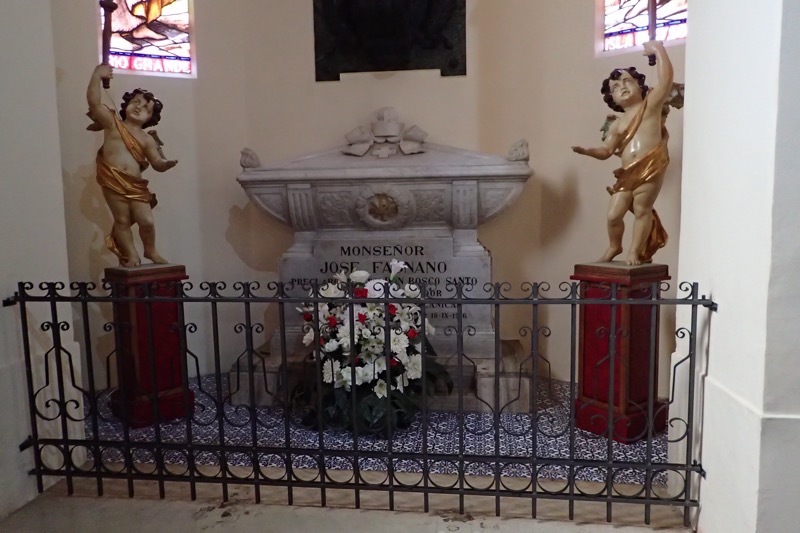
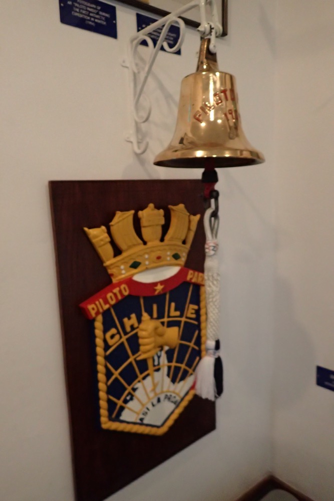

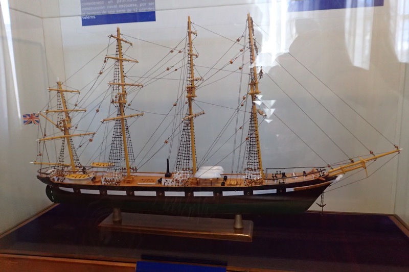
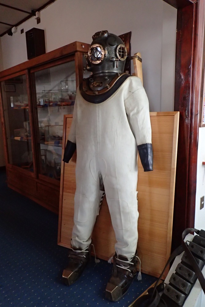
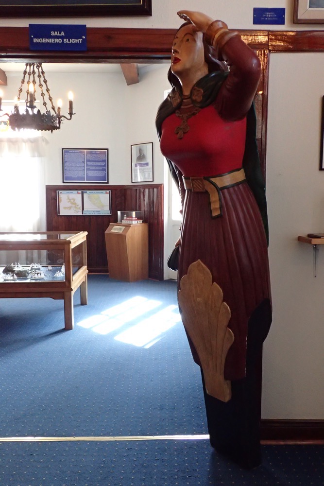
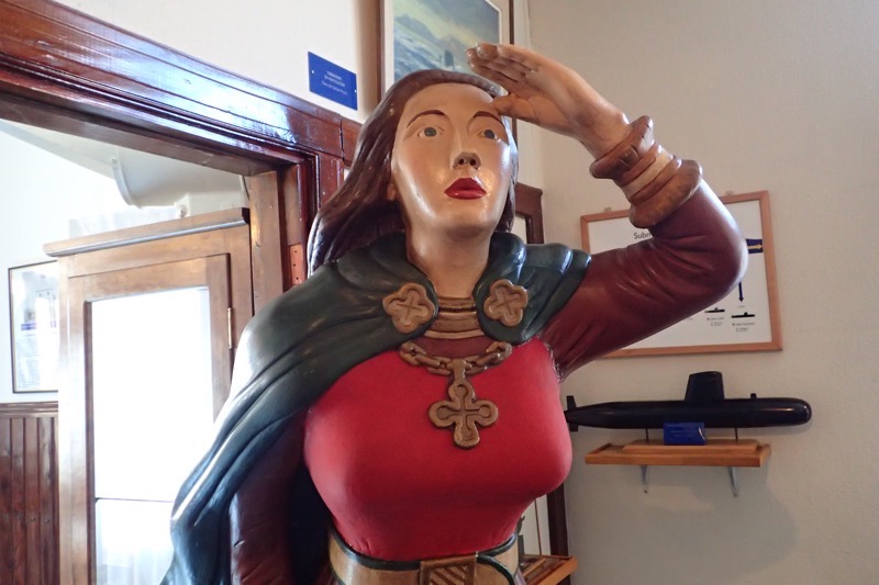
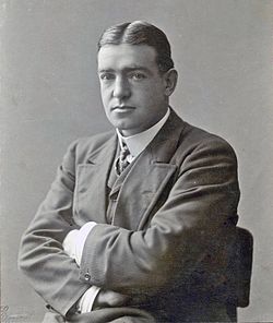 Sir Ernest Henry Shackleton (1874-1922) was a famous British polar explorer who led three expeditions to the Antarctic and is one of the principal figures associated with early Antarctic exploration.
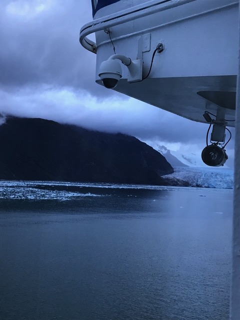
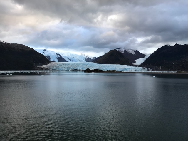
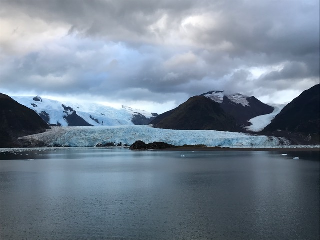
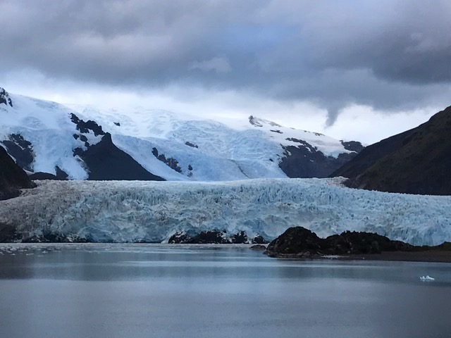
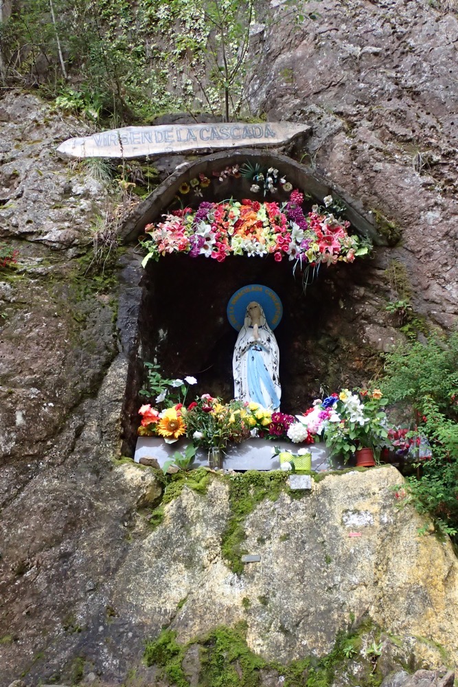
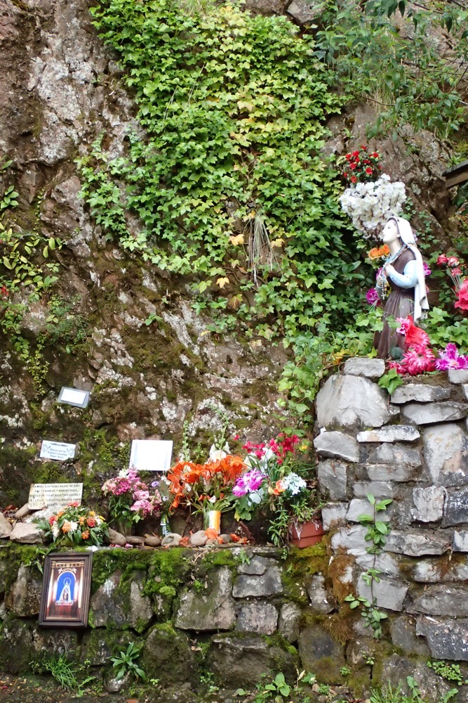
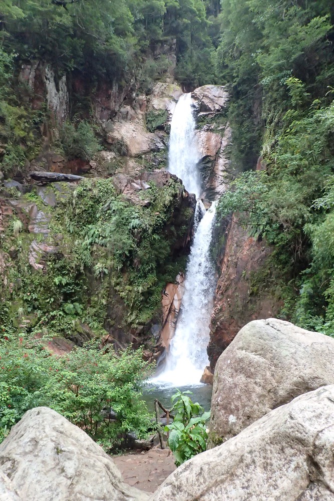
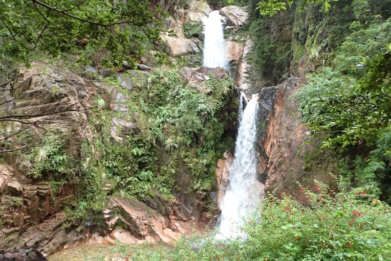 We then enjoyed an amazing view on the way to the Simpson River National Park – which we were informed by our friend and fellow traveller, Jerry, is the fourth best salmon fishing in the entire world! Salmon up to 45kgs have been caught here – that is like, over two bags of concrete, or the equivalent of nine Alaska puppies!
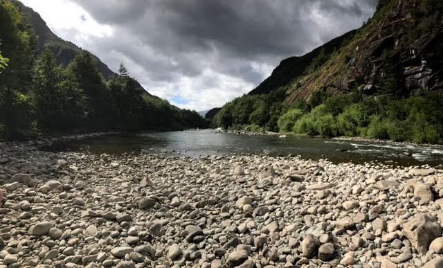 This whole area is comprised of sweeping landscapes created by volcanos and glaciers. It has a very dramatic feel around every corner and you find yourself taking hundreds of photos that will probably never see the light of day. Lots of speed-landscape photography today out the bus windows as we moved through some of the most gorgeous scenery I have ever seen.
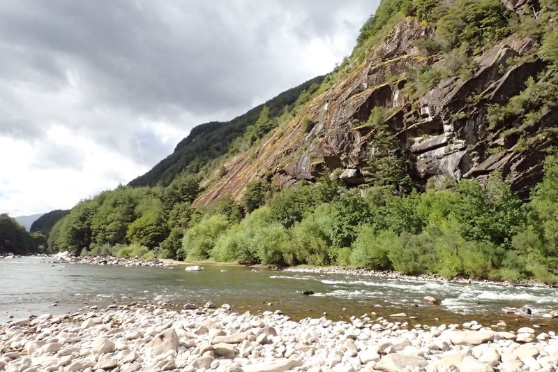
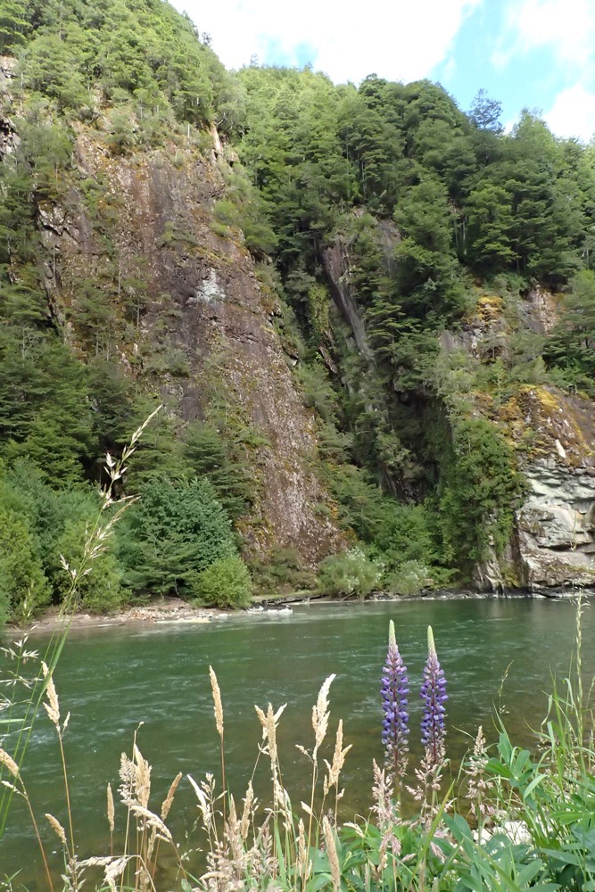 I love the colours of the glacial rivers – it has a very distinctive, blue/green/grey. I’ve only ever seen it in New Zealand, Canada, and Iceland, but it’s always so beautiful.
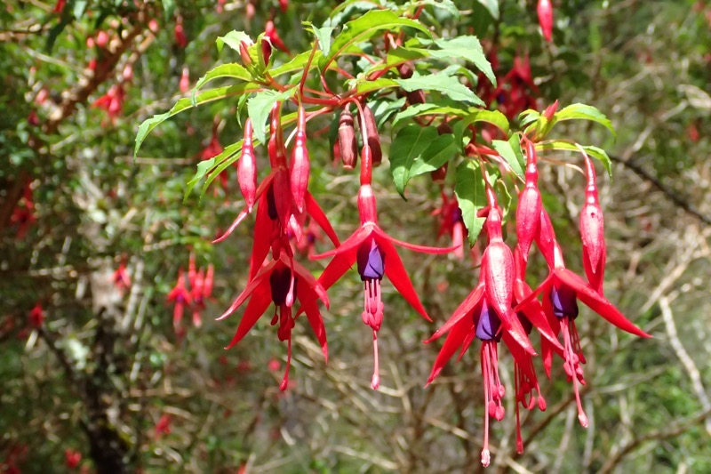 Denisse told me what this plant was called – but for the life of me, I can’t recall… and uncharacteristically, I forgot to write it down. I will endeavour to look it up and add it in later. (Edit: they’re fuchsias… *rolls eyes*)
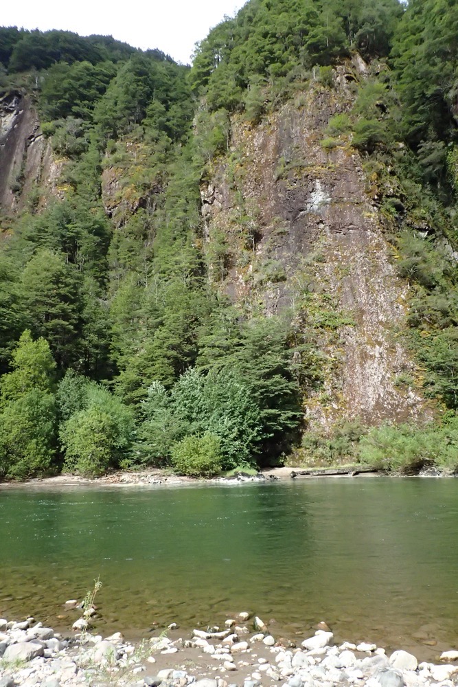
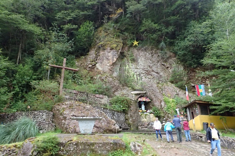
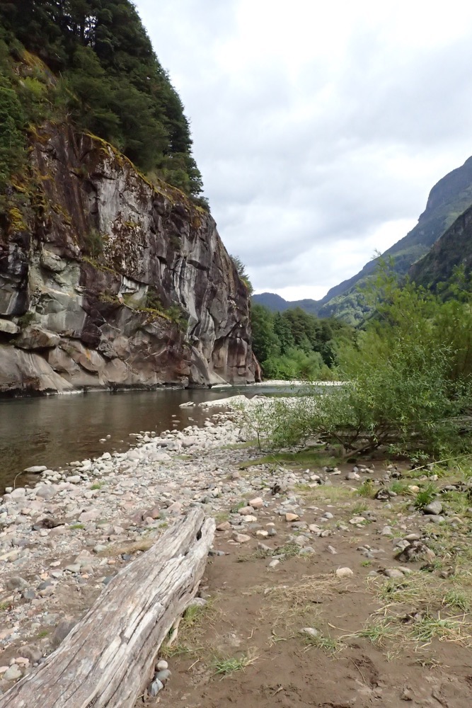 Just so many beautiful views of craggy and jagged peaks, with snow capped mountains, as we moved alongside the river for a bit of a walk. Then back to the bus and we drove off towards Coyhaique (Ko-yay-kwi). The landscape is completely unspoiled, you can see why so many National Geographic covers seem to come from the pristine wilds of Patagonia, and why it is on every serious hiker’s, ‘Must Do’ list.
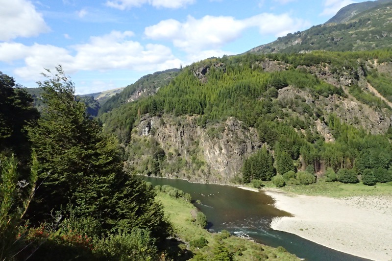 This is the view from a lookout that over looks Coyhaique. The enormity of it is not adequately captured, but you can get a rough idea from this panorama of how spectacularly beautiful the region is. Coyhaique is considered the ‘Capital of Patagonia’, and if all the NorthFace, Patagonia and Katmandu hiking stores are anything to go by, I dare say it lives up to its reputation.
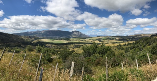
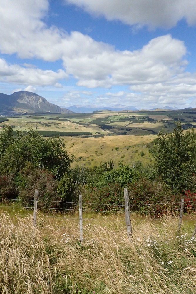 There were cyclists and backpackers aplenty in the town and all enjoying a beautiful summer day. Coyhaique is a blend of modern and traditional architecture surrounded by the forests on every side. The Andes Mountain range surrounds you in every direction.
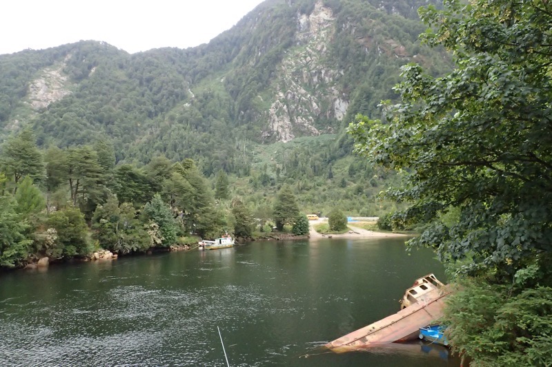 The ship in the pic above was swept this far inland during a tsunami, there are many ships and boats that are laying around wrecked as a reminder of how volatile the geography and the climate can be in this region – earthquakes, subsequent tsunamis, volcanos! I’m not sure how these people are as laid back as they appear to be living with these sorts of disastrous threats.
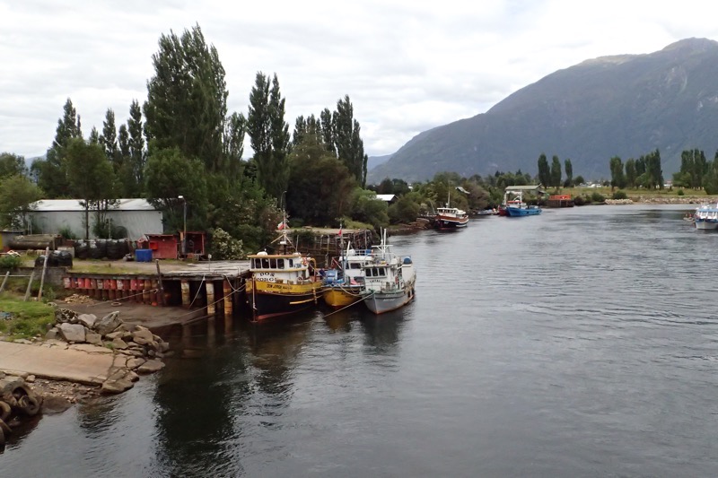
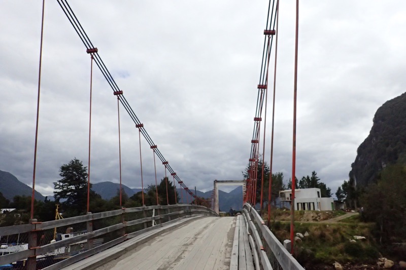
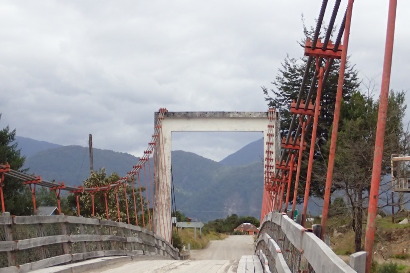
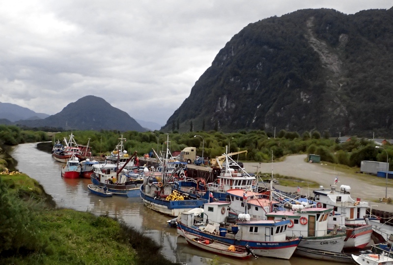
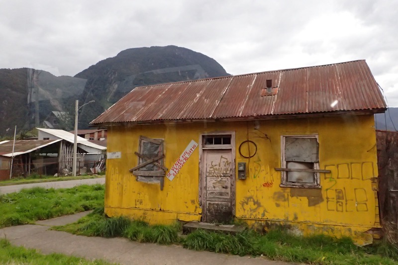 Look at this… it’s gorgeously quaint, but I can’t imagine what its occupants would think of our cookie-cutter suburbia with its manicured lawns, matching gutters and window frames, and identical driveways. So much character in this house, you almost wish it could talk; and then are immediately concerned for what it may have to say!