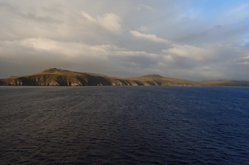
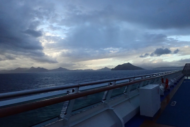
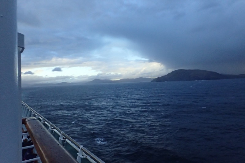
Cape Horn is the southernmost headland of the Tierra del Fuego archipelago of southern Chile, and it is located on the tiny island of Hornos Isla – named after the city of Hoorn in the Netherlands. Cape Horn is the northern boundary edge of the Drake Passage and is also the point where the Pacific and Atlantic Oceans collide; it is known for being particularly hazardous to navigate due to excessively strong winds, huge swell (not today), strong ocean currents and even icebergs which occur up to 50°, even in mid-summer (mid Feb).
“Rounding the Horn”, which we are doing this morning, is traditionally understood to involve sailing from 50° degrees South on one coast, traversing from the Pacific Ocean to the Atlantic Ocean (or vice versa) to 50° South on the other coast – the two benchmark latitudes represent a particularly difficult and time consuming endeavour and it involves travelling some 930 miles.
Today we have excellent calm conditions, not a lot of swell, the waves are nothing to be concerned about, but you can certainly feel the 75-80 knot Antarctic winds buffeting the ship about. There’s also a weird sideways drift feeling happening occasionally, which is probably the strong ocean currents pushing the ship around. I could be wrong, but I thought I heard the ship’s sideways thrusters working intermittently, which could be a way of attempting to counteract the current from pushing us off course? Not sure, I’ll have to ask one of the crew later.
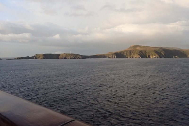
Cape Horn has been considered one of these most treacherous shipping routes int he world. Sailing conditions in the Southern Ocean are fierce at the extreme southern latitude of 56° South… to give some reference, the southern tip of Africa is only 35° South, and Stewart Island at the southern tip of New Zealand is only 47° South. Below 40° South, winds can blow from west to east around the world almost interrupted, which is where the ‘roaring forties’ name comes from.
I think most people have heard of the ‘roaring forties’, but not being from a sailing type background, I’ve never heard of the ‘furious fifties’ or the ‘screaming sixties’ before, but in the middle of that, is where we are right now. The winds are hazardous enough that ships travelling to the east tend to stay in the Straits of Magellan (and that is perilous enough in itself!) up in the northern forties if possible; however rounding Cape Horn requires ships to press south to 56° South which is smack-bang in the middle of the fiercest winds. The weather here is really changeable as well, as we approached the Cape, it was sunny, blue skies, windy of course, and a clear outlook; travel a few minutes, literally just a few minutes, and a few miles further south, and the skies have turned moody, the wind has picked up to ‘I can’t hear myself think’. This is because the winds are exacerbated here by the funnelling effect of the Andes Mountain range and the Antarctic Peninsular which forces any prevailing winds into the narrow Drake Passage.
 Naturally, strong winds tend to cause correspondingly large waves, and these large swells can roll around the entire Southern Ocean free of any interruption of land – that is until they hit the shallow waters to the south of the Horn, which causes them to be shorter (closer together) and steeper – again causing an additional hazard to ships as they have no time to recover from one steep wave before encountering the next. And if the strong eastward current through the Drake Passage meets an opposing east wind, this can have the effect of even further building up the dangerous waves. Oh, but wait… there’s more! On top of these ‘normal’ conditions, the area west of the Horn frequently experiences ‘rogue waves’ which can attain heights of up to 30 fucking metres! (98 feet!!!) OMG…!
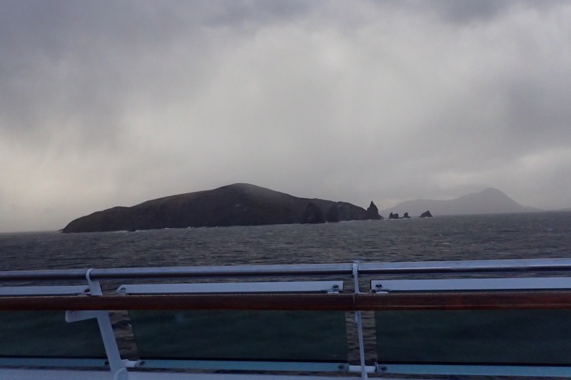
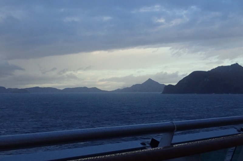
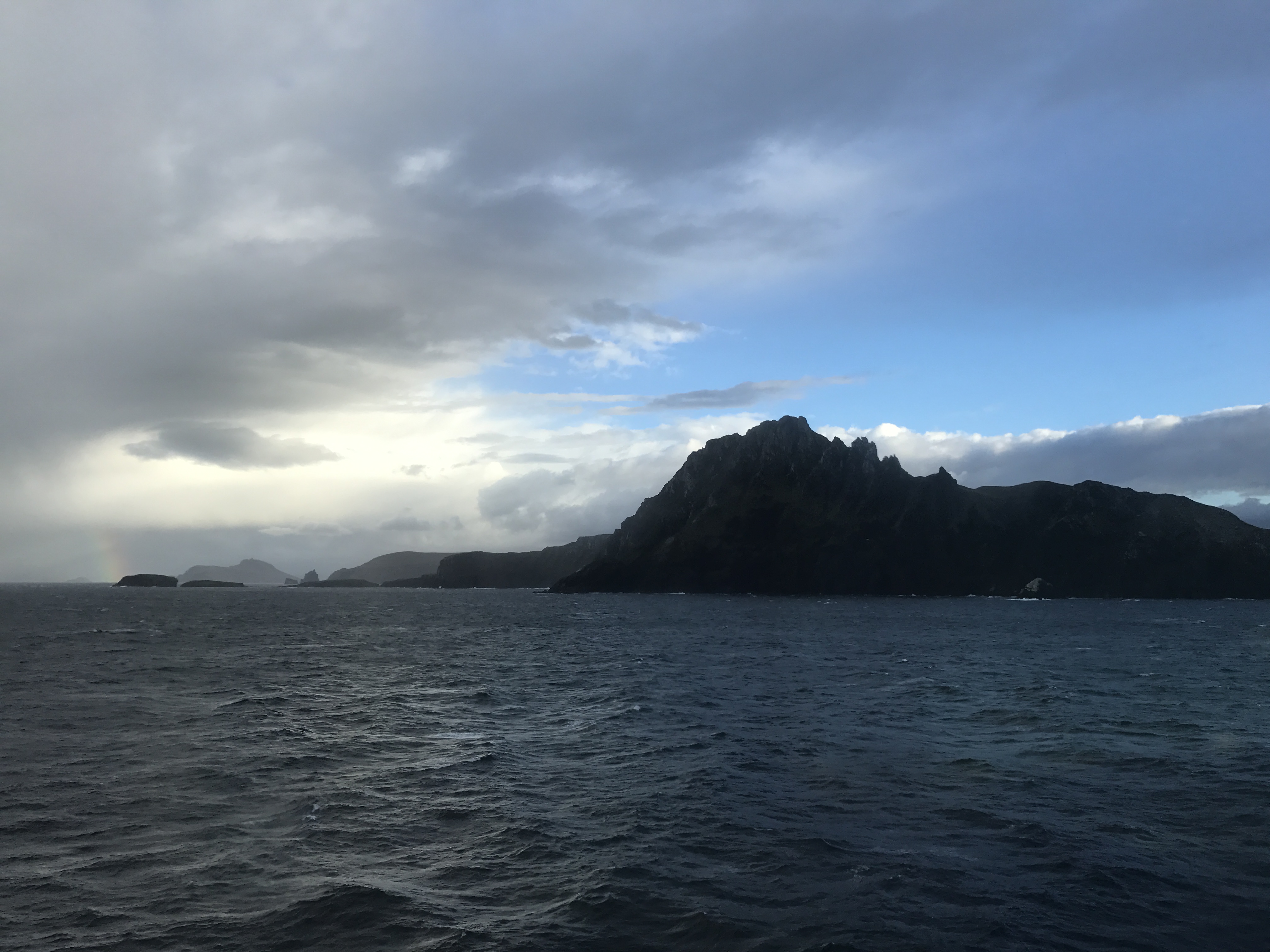
 Between the horrid wind conditions, the treacherous currents, hazardous waves and oh dear lord, terrifying rogue waves, and ICEBERGS, it makes you wonder why anyone would attempt to sail around Cape Horn. It is no wonder that over the centuries, Cape Horn has gained notoriety as the most dangerous shipping passage in the world, has seen numerous shipwrecks, and has become known as a ‘sailor’s graveyard’. I can’t imagine someone in the 16th century with comparatively rudimentary navigational equipment and little to no support if something goes wrong, being too happy about having to ‘Round the Horn’ at all… but the Straits were just as treacherous with their own hellish windy conditions.
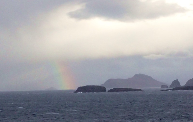
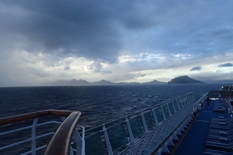 As we moved further around, we find things here are very changeable, as we sailed towards the Cape, it was sunny, mild and hardly any swell, but not five minutes later, the sky is turning moody, the swell has picked up, the currents are pushing the ship about, we are looking at a bit of rain and the wind. OMG, the wind! It’s unbelievable. On the outer decks, we are all leaning into the (bitingly cold!) winds to avoiding falling over. Opening the doors to the open decks has become a two person job, and it’s beanies and windbreakers for everyone, and the ship’s flags are snapping sharply. But then, just as our shore expert, Hutch, said, “Ladies and gentleman, you have now ‘Rounded Cape Horn, and we are officially in the Atlantic Ocean”, the wind dropped to almost nothing, it was weirdly still for a calm minute or so, and this is going to sound really twee, but a small rainbow appeared in the distance right over the Cape.
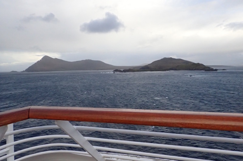
 Traditionally, sailors who have rounded Cape Horn were entitled to wear a gold hoop earring in the left ear – the ear which would have been facing the Horn in a typical eastbound passage, like ours. Additionally, they say that these seasoned sailors were allowed to dine with one foot on the table, though for the life of me, why this is a ‘thing’ I don’t know. A sailor who had also round the Cape of Good Hope was allowed to dine with both feet up on the table. Feet on tables aside, it just sounds like good excuse to go buy some nice hoop earrings if you ask me. 😉 Seriously though – I don’t think our Captain would care which Horn you had rounded, if you had a go at putting your feet up on the table in the Main Dining Room, you might find yourself put off at the next port!
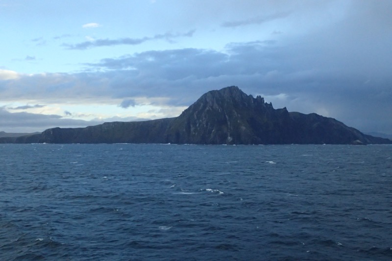
It was quite the experience watching the ship Round the Horn and seeing the rapid changes in the weather – even though we have what would be called damn near perfect weather for this area. I’m having another one of those moments where I’m thinking… Wow, just 15 months ago I was on the Caribbean Princess crossing 66° North into the Arctic Circle near Iceland, and now here I am literally round the bottom of the world at Cape Horn!
I never expected I’d be off travelling the world and doing all these amazing things. I’ve said it before, but I’ll say it again – I have no idea whose life I am living, but I am really getting worried they are going to want it back!
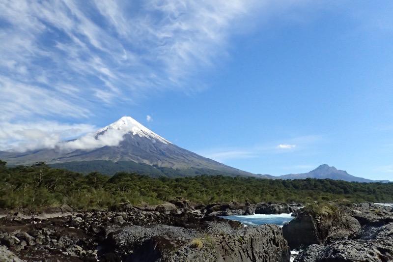
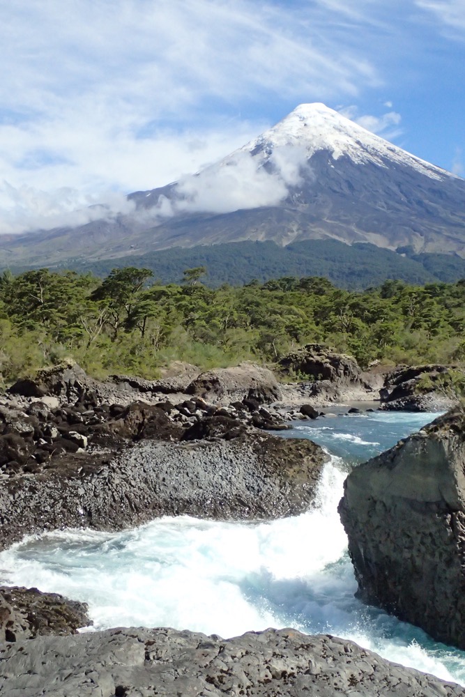
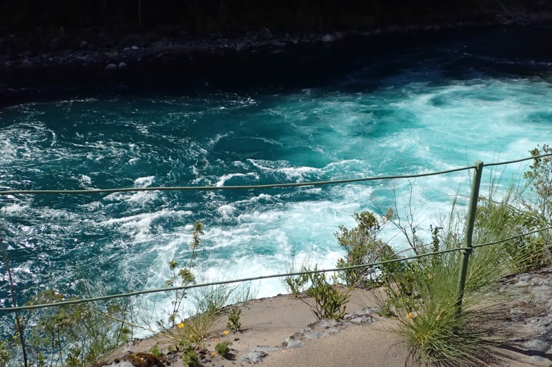
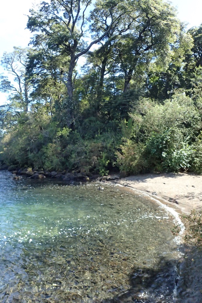
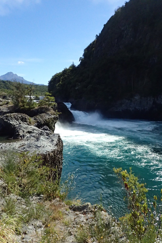 Petrohue River/Rapids
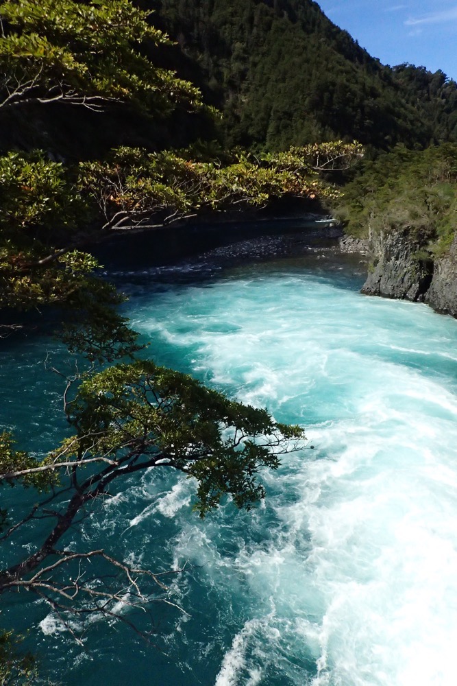
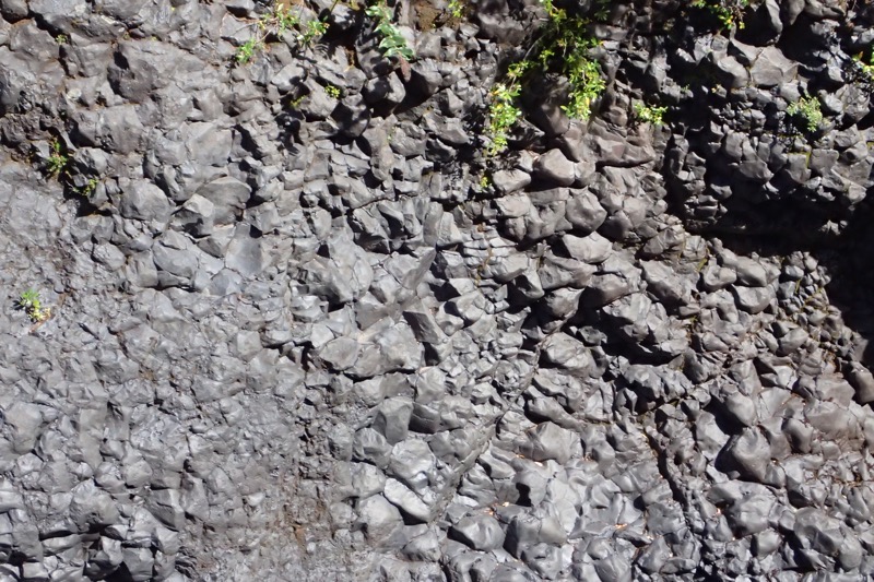
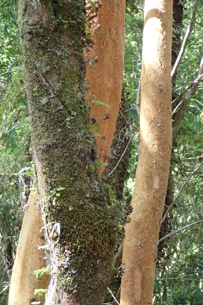
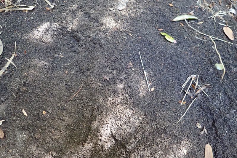
 Volcanic ash – above; volcanic rubble – below
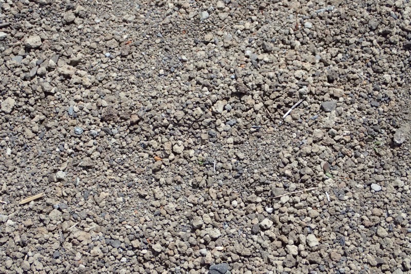
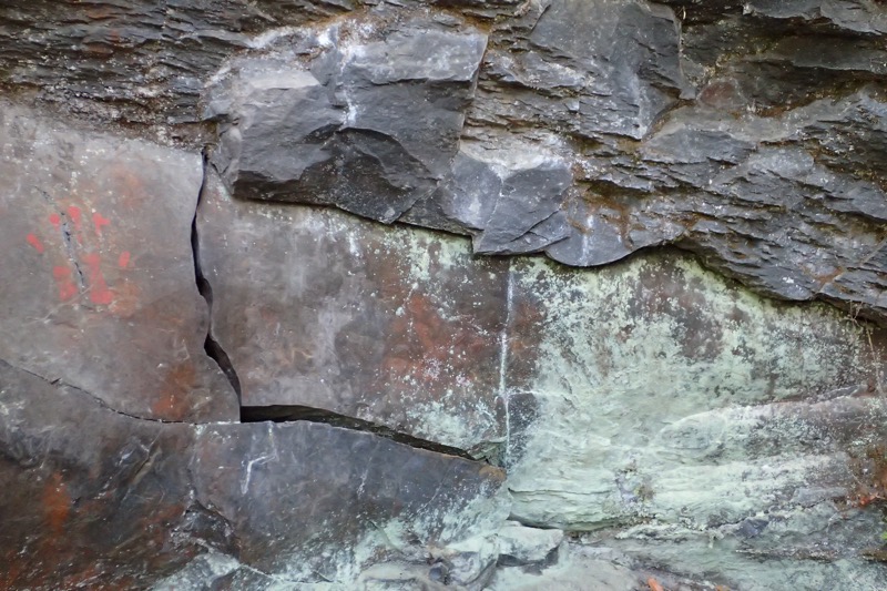

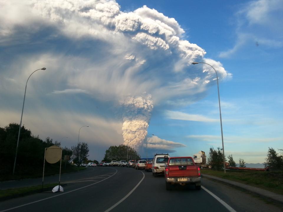 (pic above from Wikipedia)
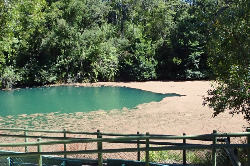
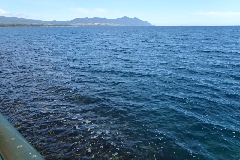
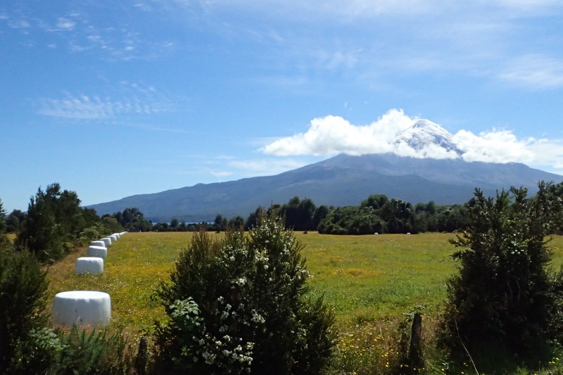
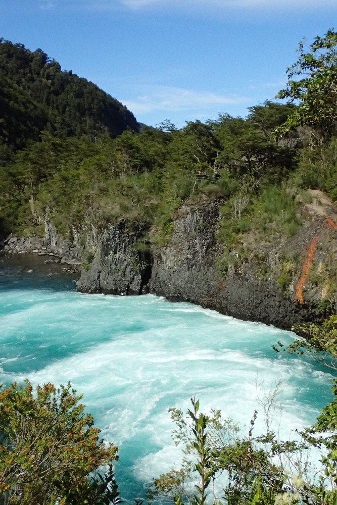
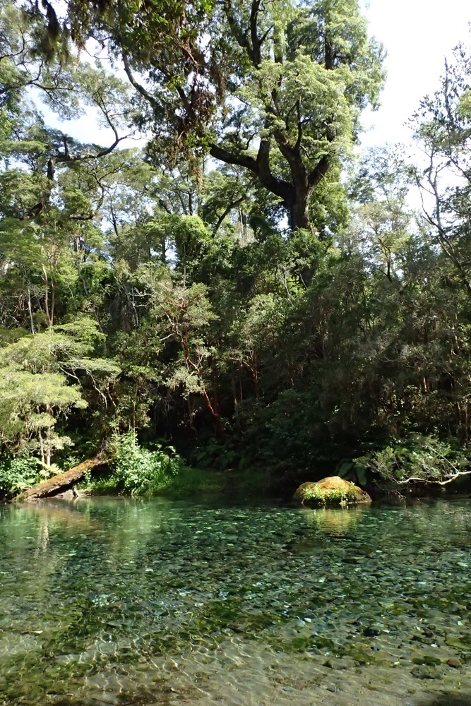
 View from lunch: