
Lituya Mountain, Mt. Crillon, Mt. Bertha and Mt. Fairweather

Gloomy Knob, Glacier Bay and the Gilbert Peninsula

Margerie Glacier

The Brady Glacier

Johns Hopkins Glacier

Lamplugh Glacier, Mt Cooper and Jaw Point.
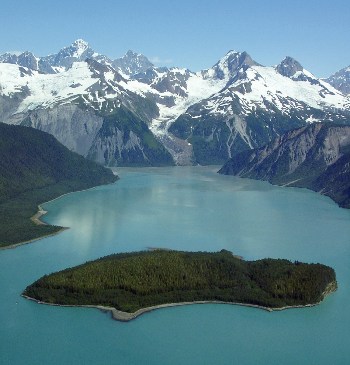
Lituya Bay.
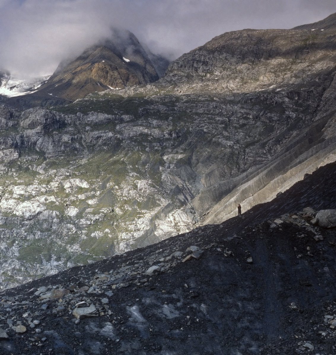
Camping in Glacier Bay
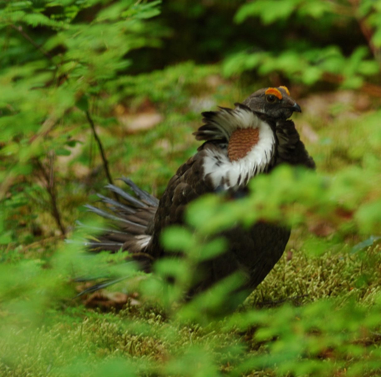
Blue Grouse hooter at Bartlett Cove.

Lined chiton have a shell composed of eight separate versatile shell plates.
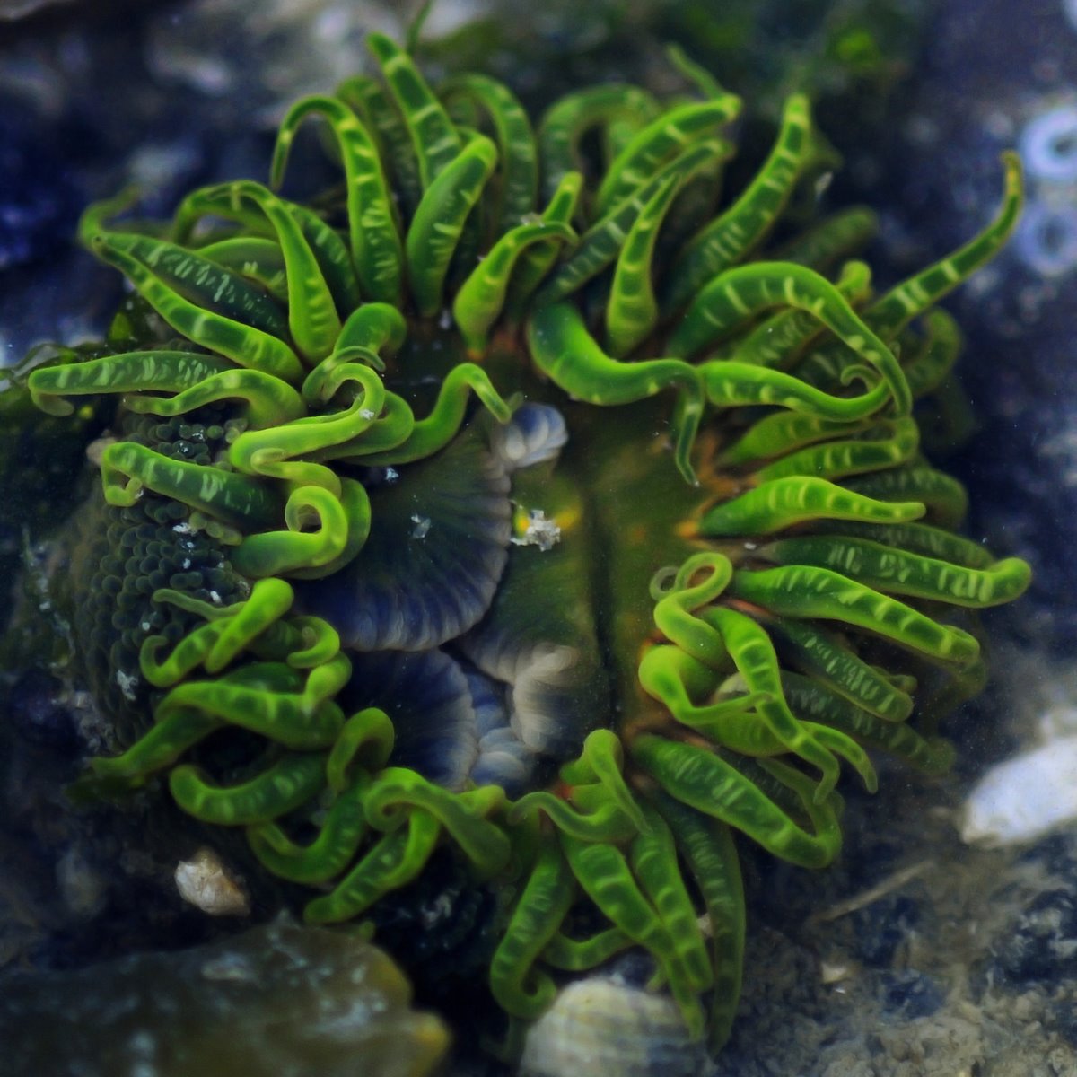
Green anemones tentacles.

Camp at the top of the icefall, Grand Plateau Glacier, 6700 feet elevation, on the northwest slopes of Mt. Fairweather.
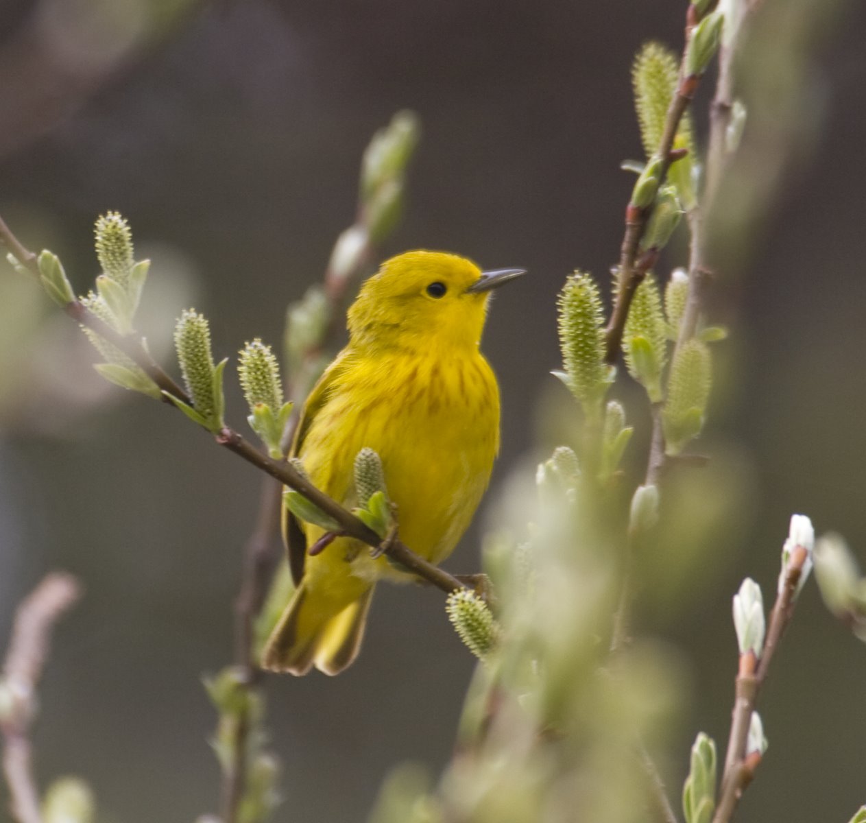
his Yellow Warbler is a male, distinguishable by the darkish streaks that run down his chest.
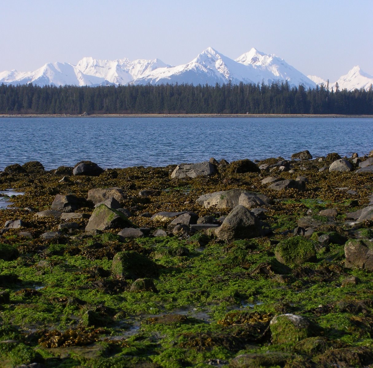
First glimpses of Glacier Bay.
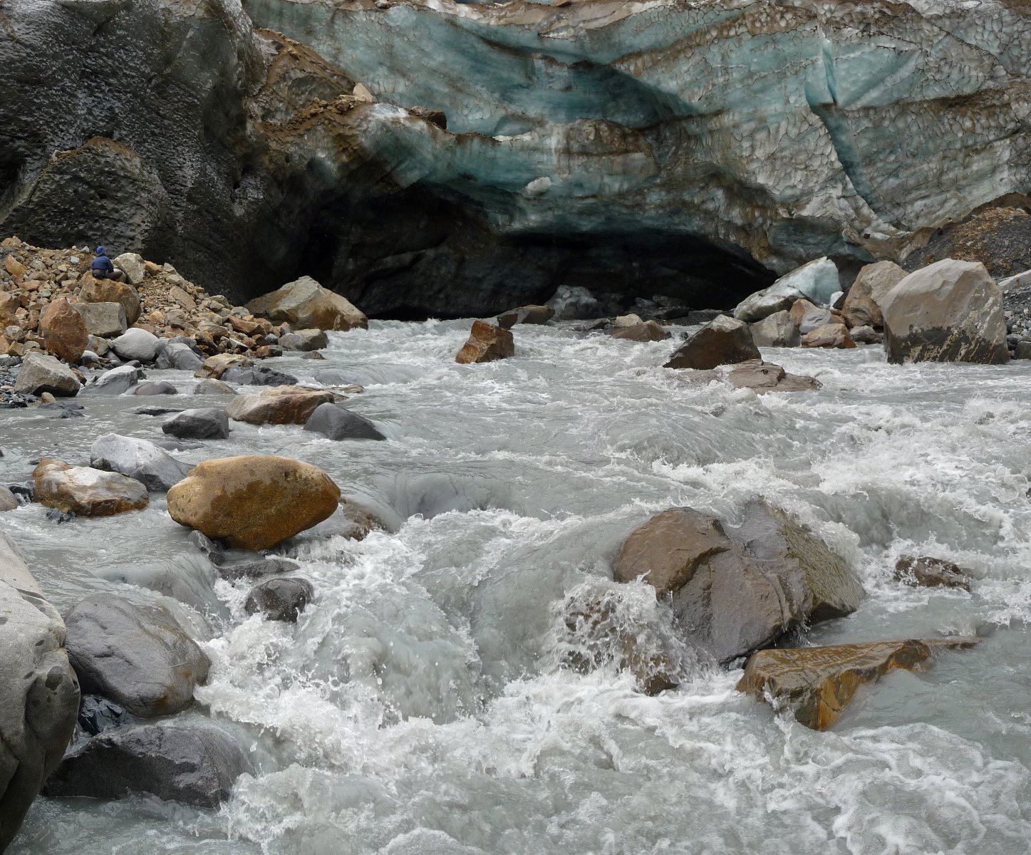
A turbulent river emerges from beneath a glacier.
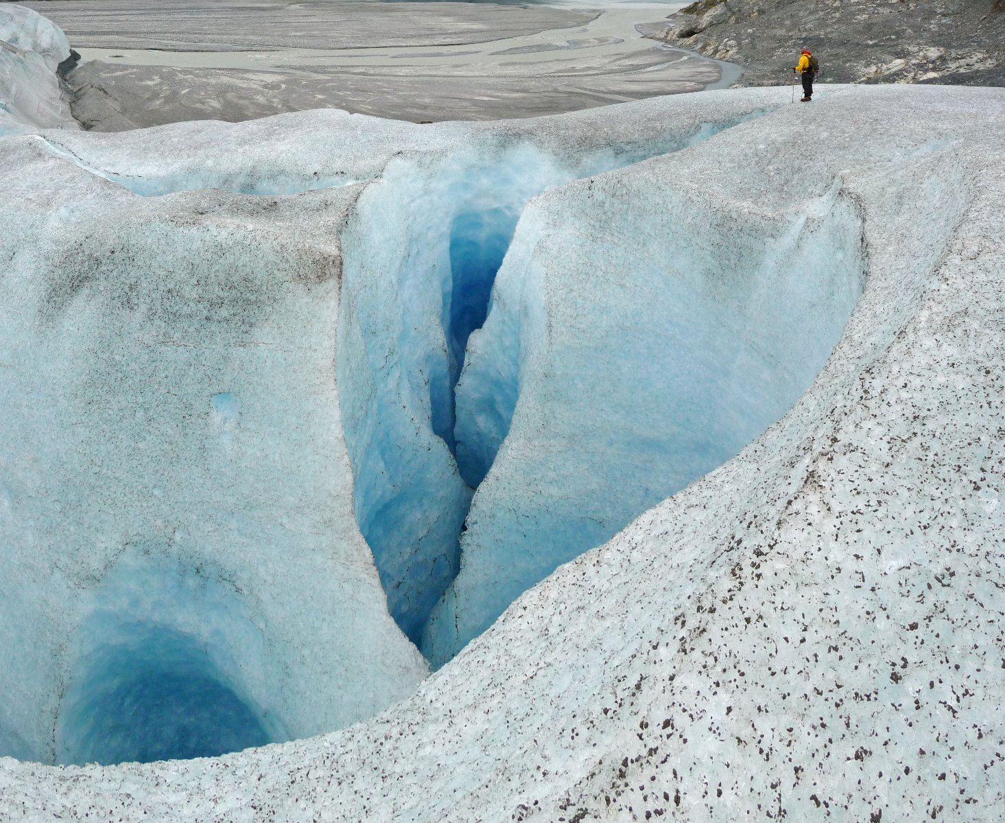
A ‘moulin’ a hole in the ice where water running across the glacier plunges down into the interior of the glacier.
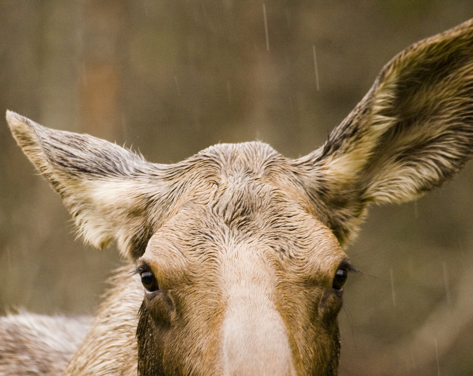
Moose biology is ideally suited to Alaskan conditions.
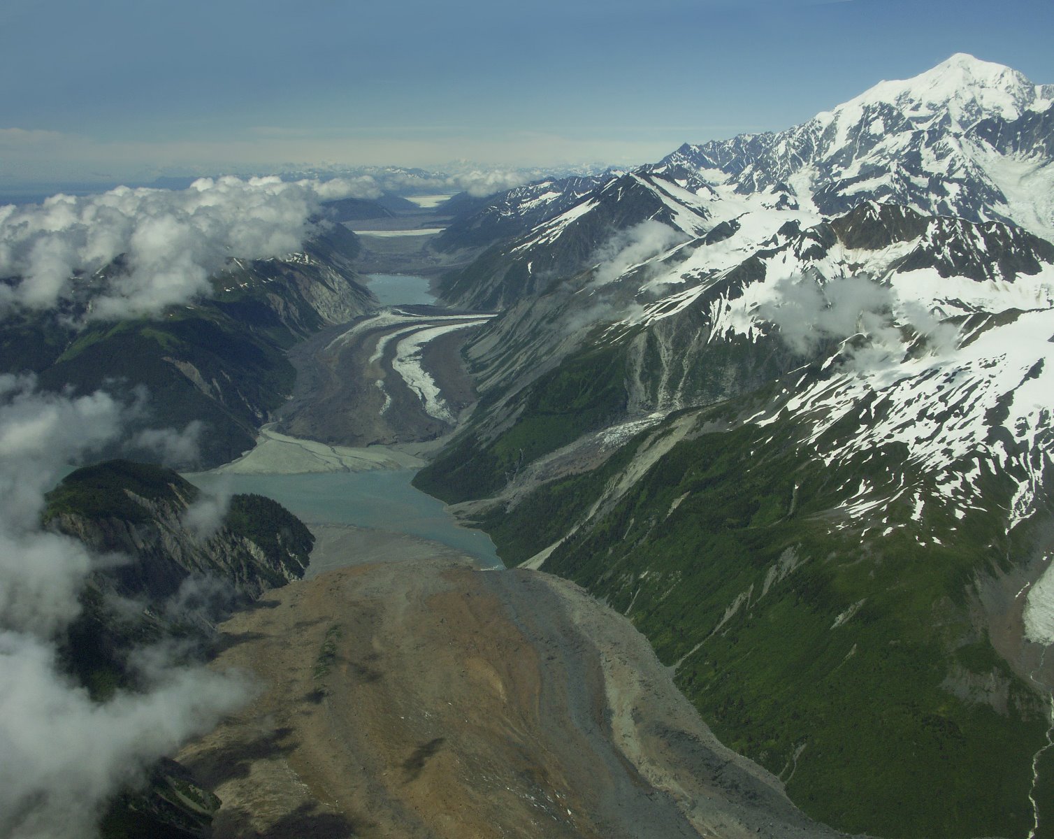
Desolation Valley is the active seam between North American and the Pacific crustal tectonic plate.

In 1928 the U.S. Navy flew a survey plane throughout Southeast Alaska taking aerial photos. Those photos show that most of the bay shown in the middle of this image didn’t exist back then it was beneath the ice terminus of the Hugh Miller Glacier, which has now retreated back around the corner to the left.

Sea cave and sea arch rock formations.
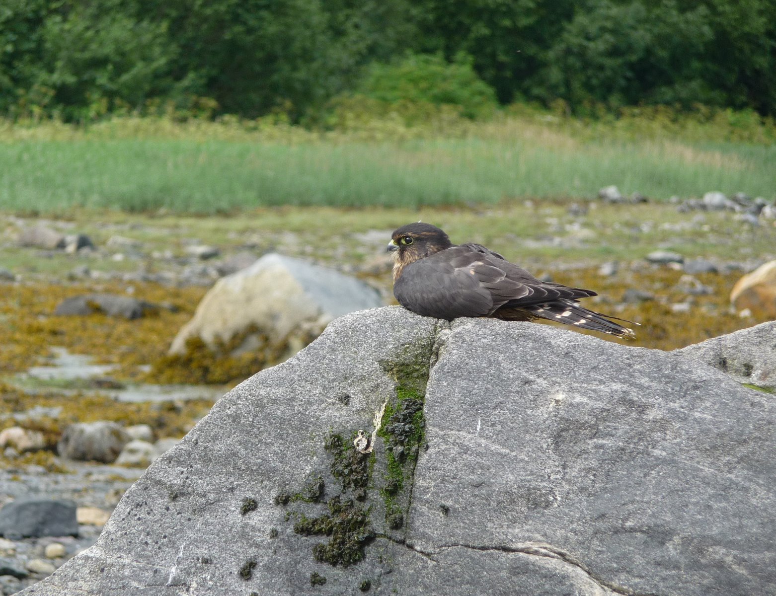
Merlins.
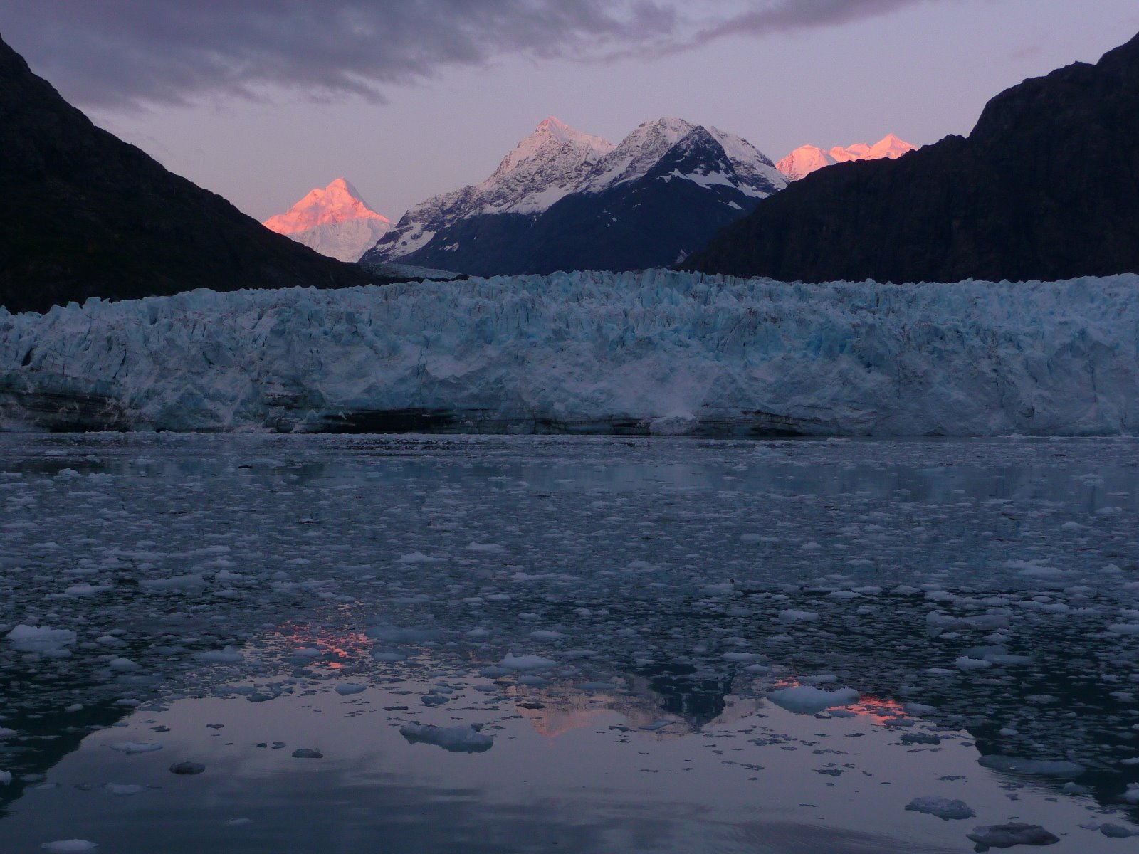
Soft sunset hues light the mountains behind the glacier.

Carroll Glacier’s many medial moraines.
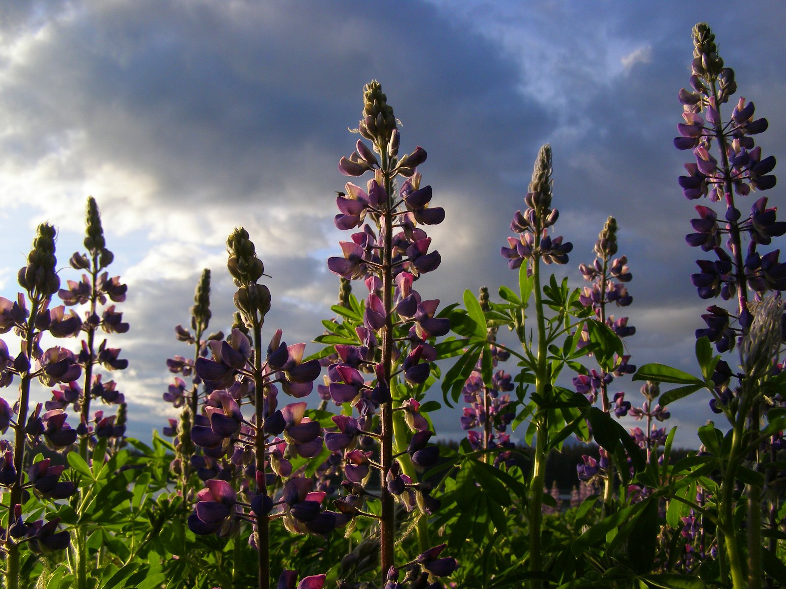
Lupine marks the end of winter.

Bartlett Cove fishing boats.
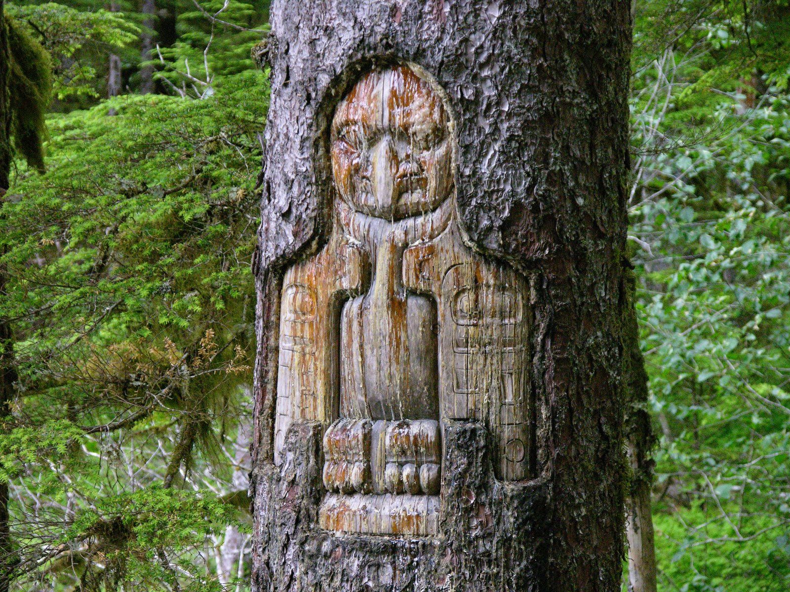
Tinglit tree carving in Bartlett Cove.

Belted Kingfisher.
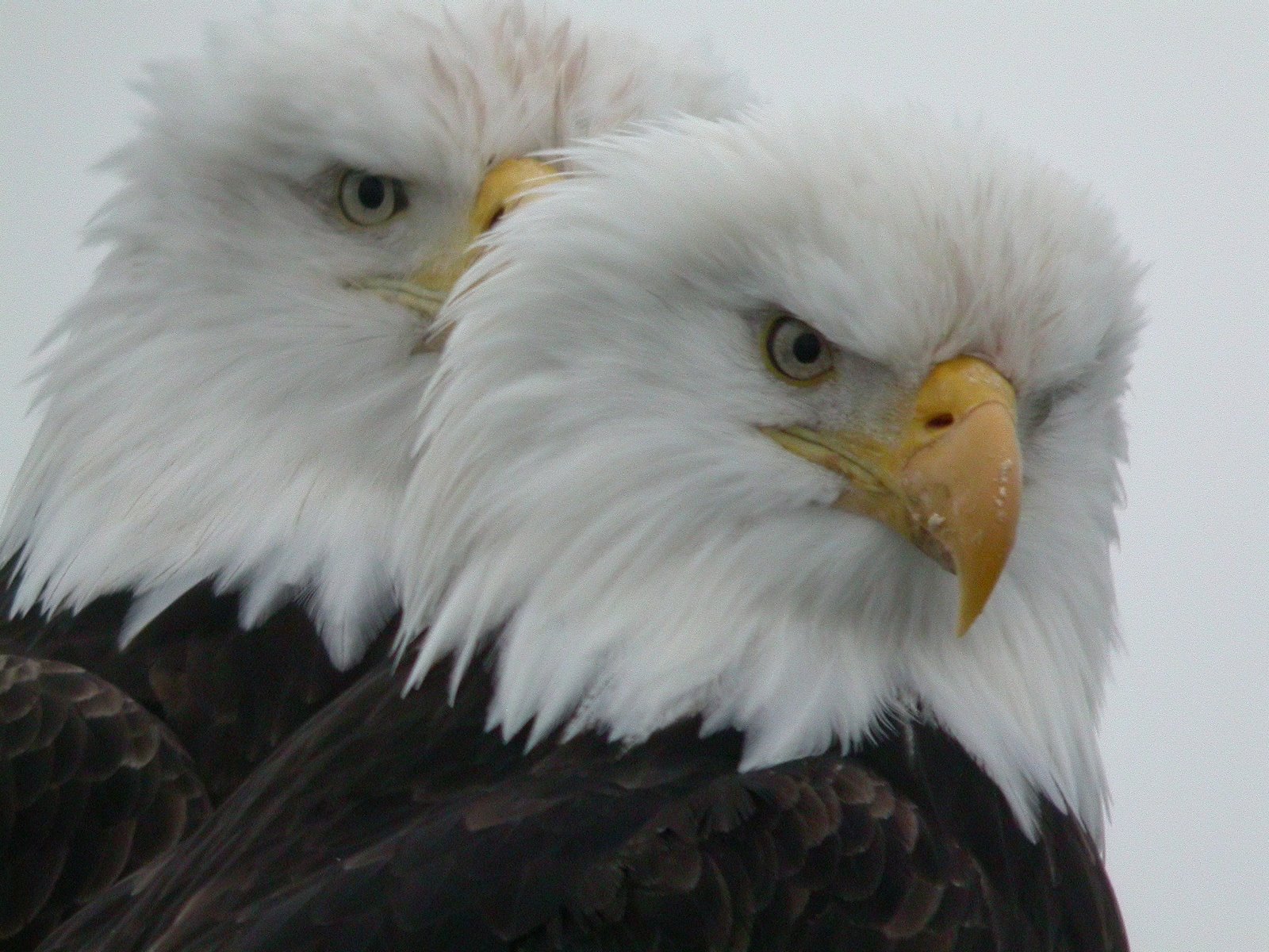
Bald Eagles.
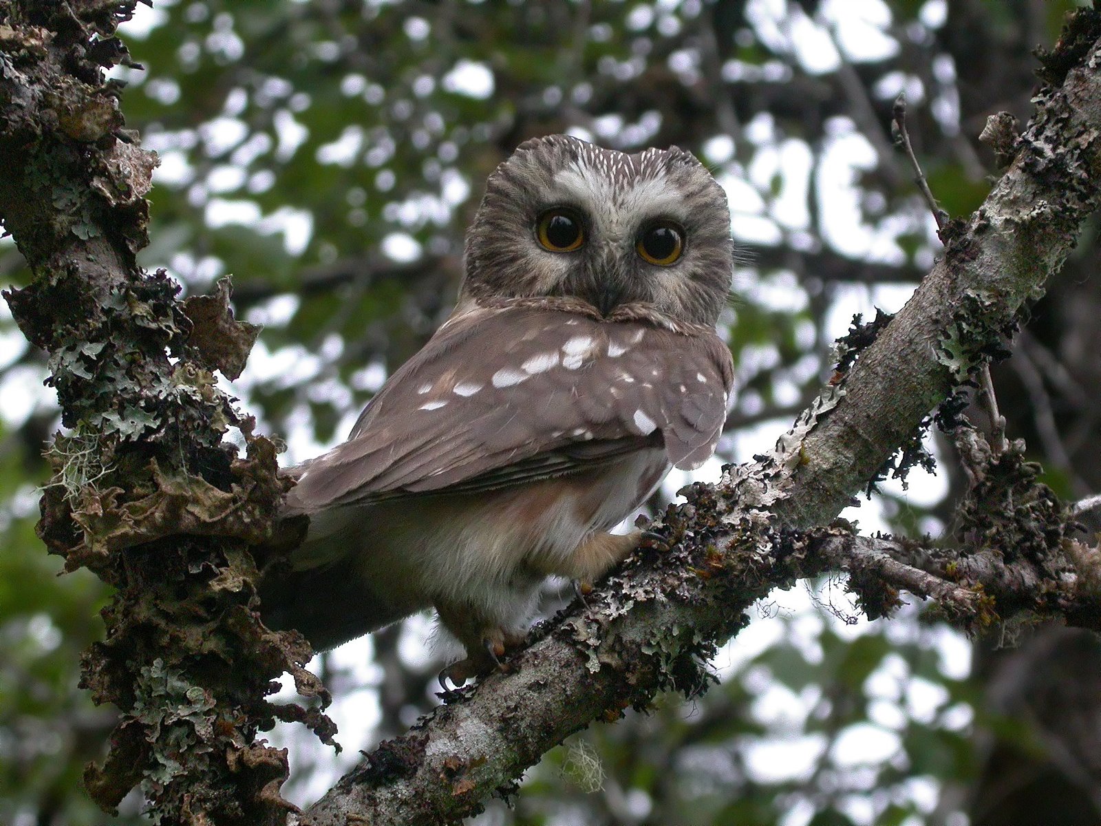
Northern Saw-whet Owl.
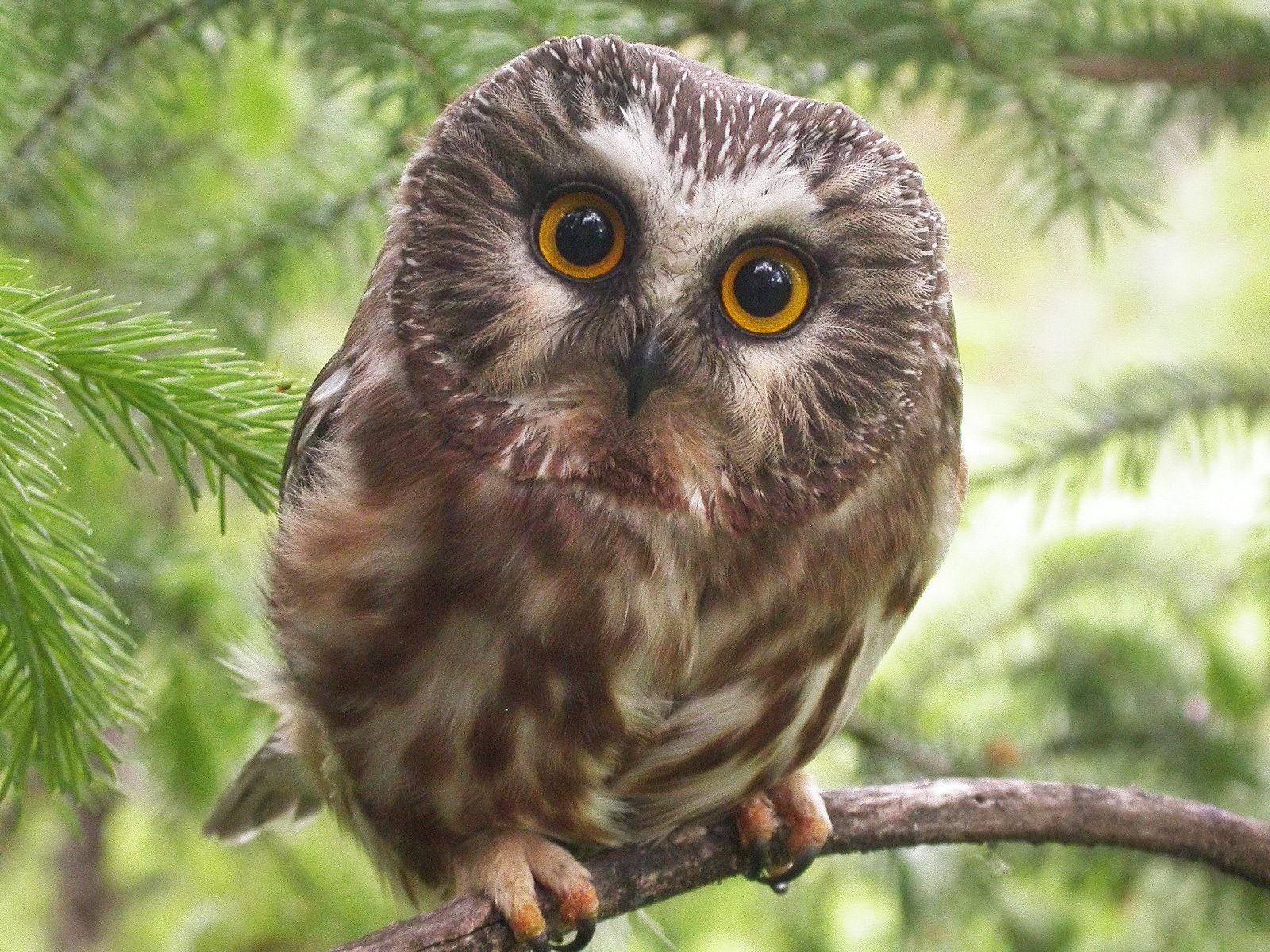
Nothern Saw-whet owl.
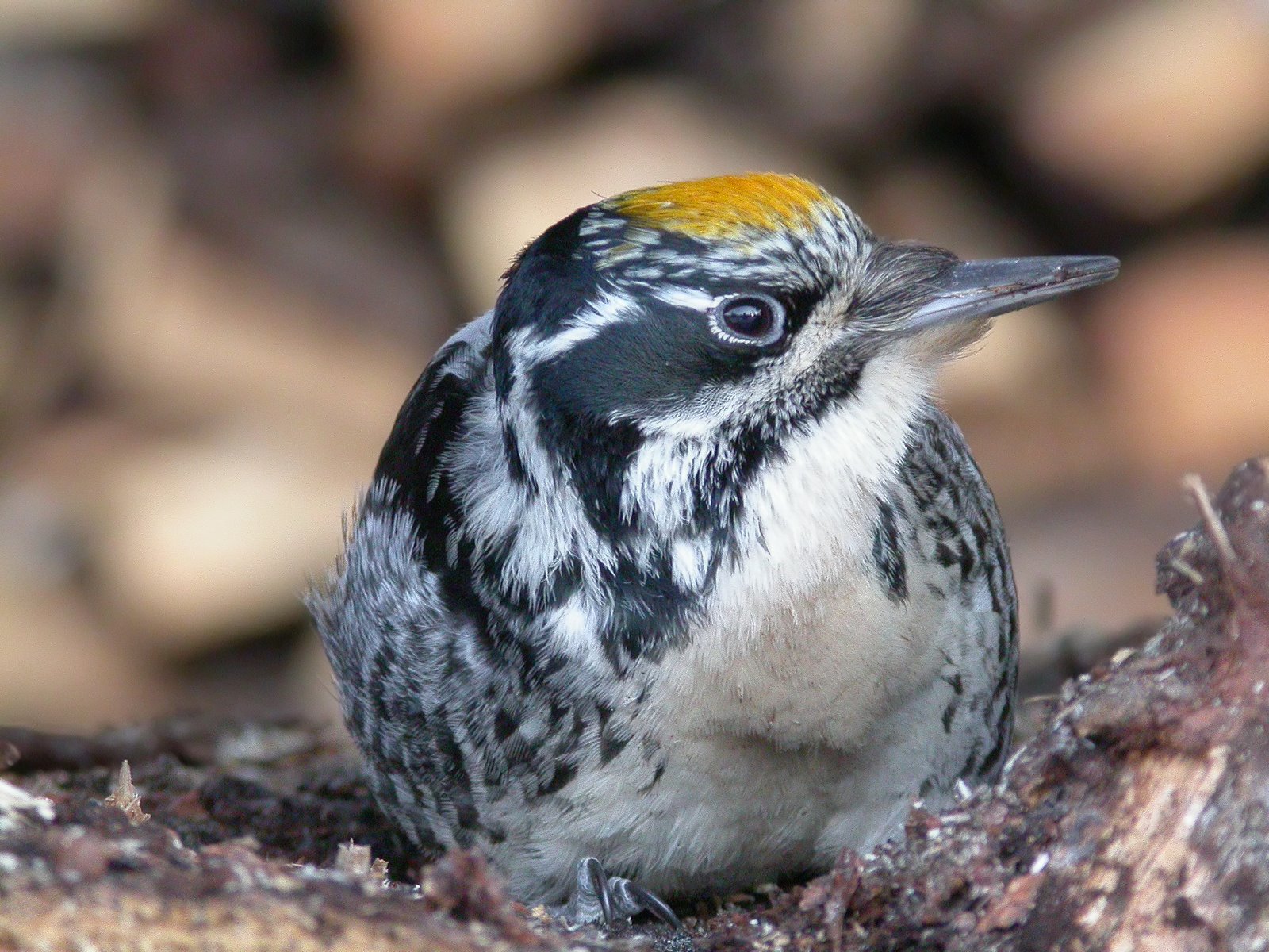
American Three-toed Woodpecker.
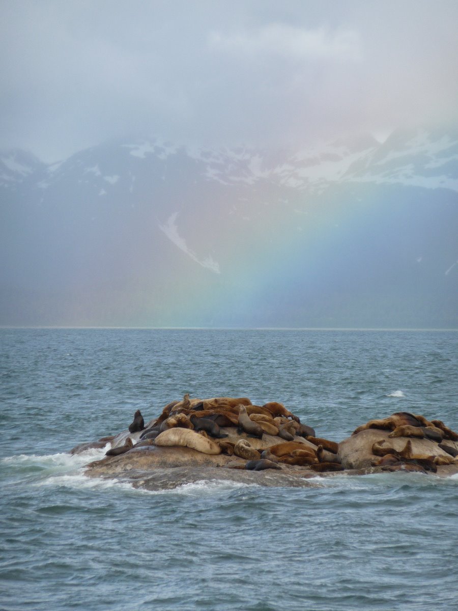
South Marble Island and Steller sea lions.
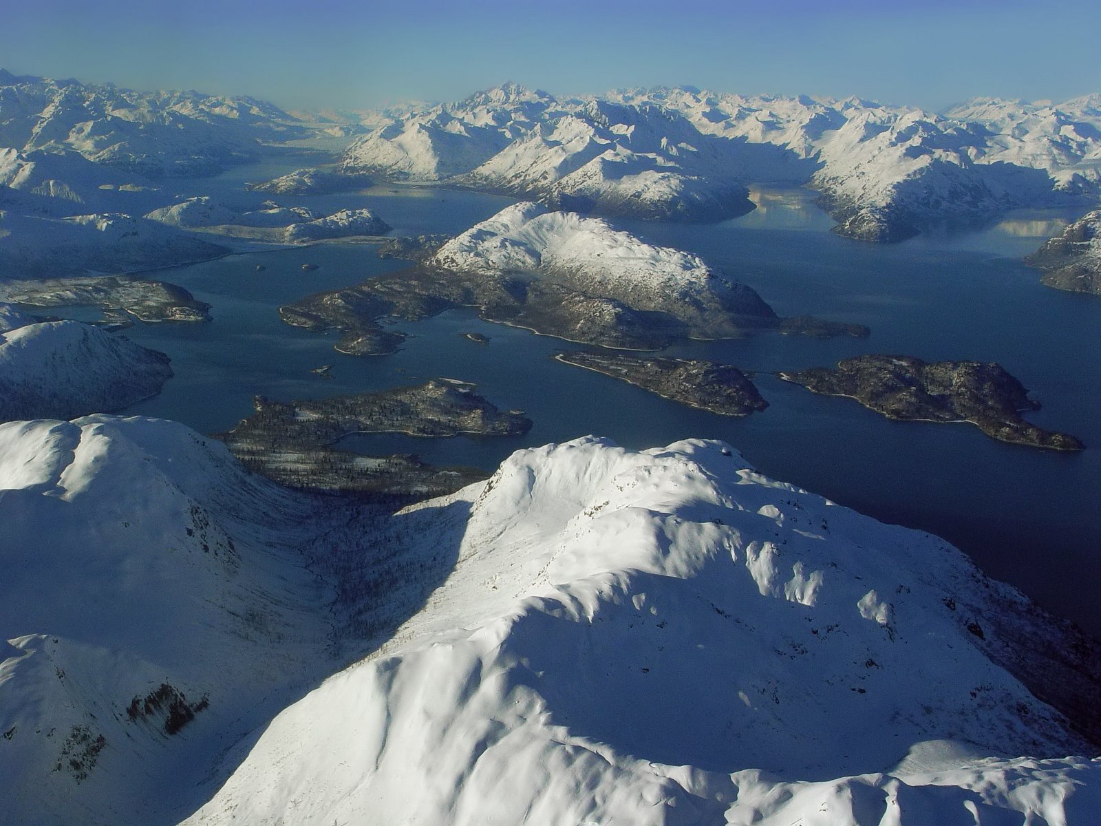
West Arm of Glacier Bay.

Changeable Glacier Bay.
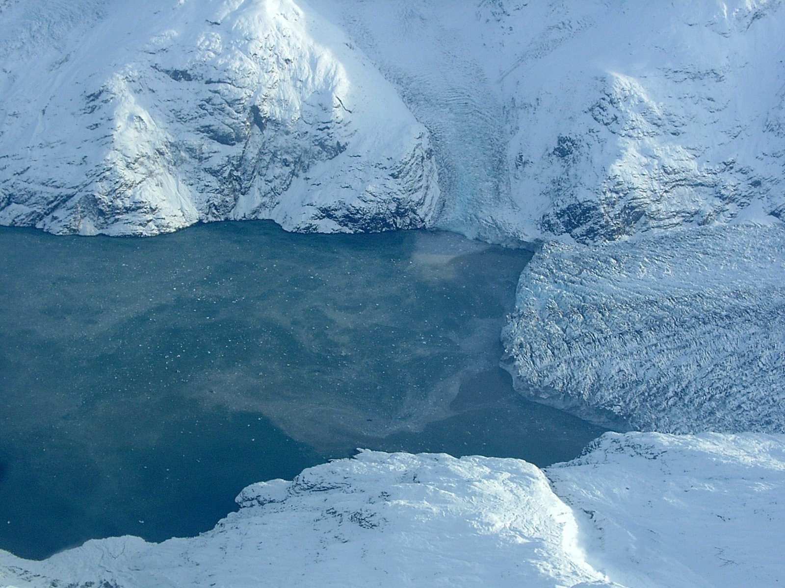
Icebergs at Johns Hopkins Glacier.
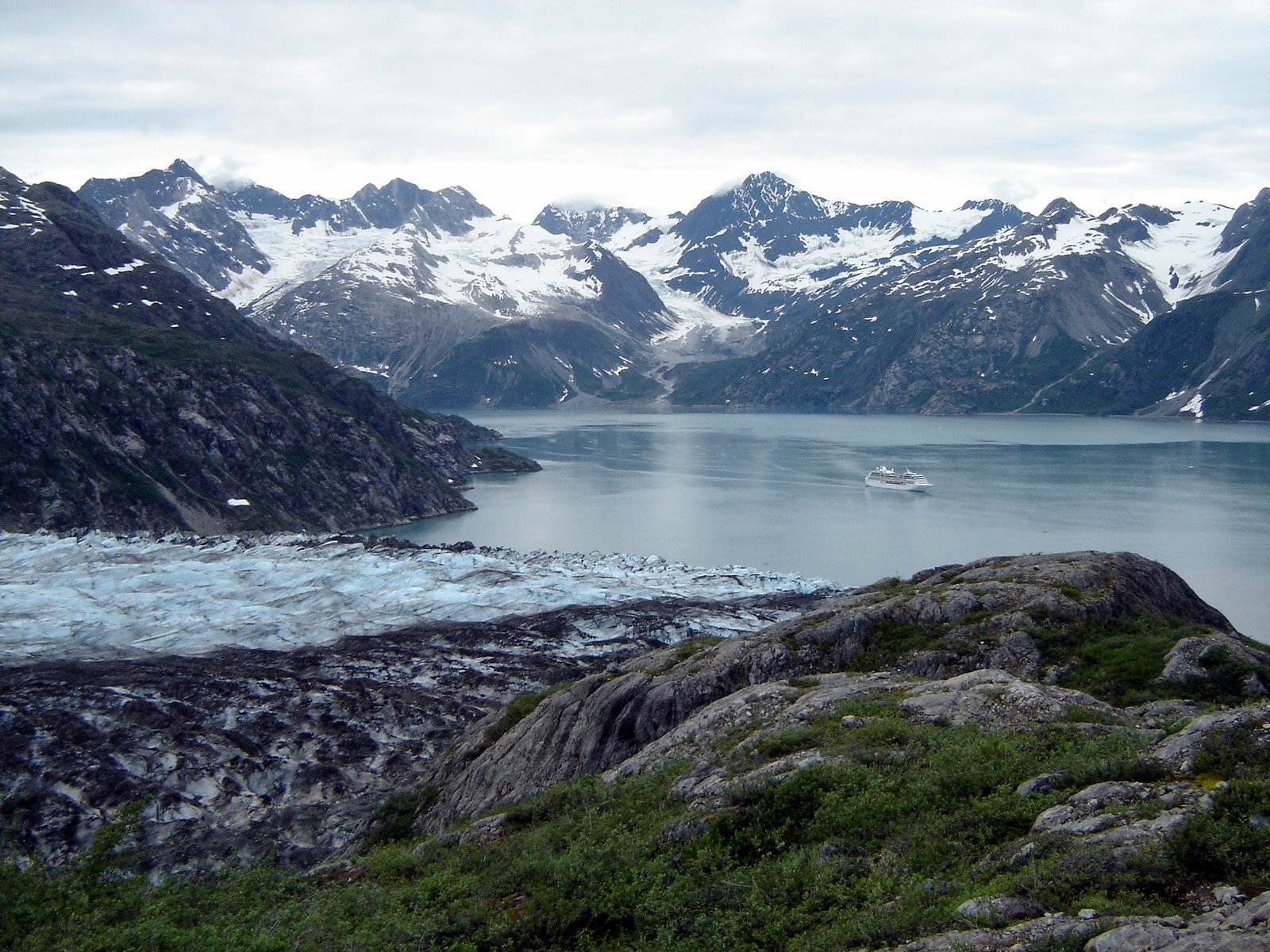
Lamplugh Glacier has one of the larger tidewater glacier faces in Glacier Bay.
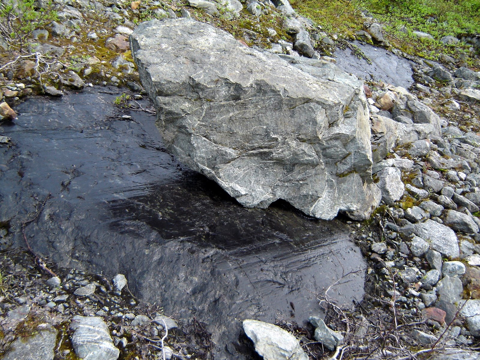
Rocks carried along by the glacier scratch along other rocks.
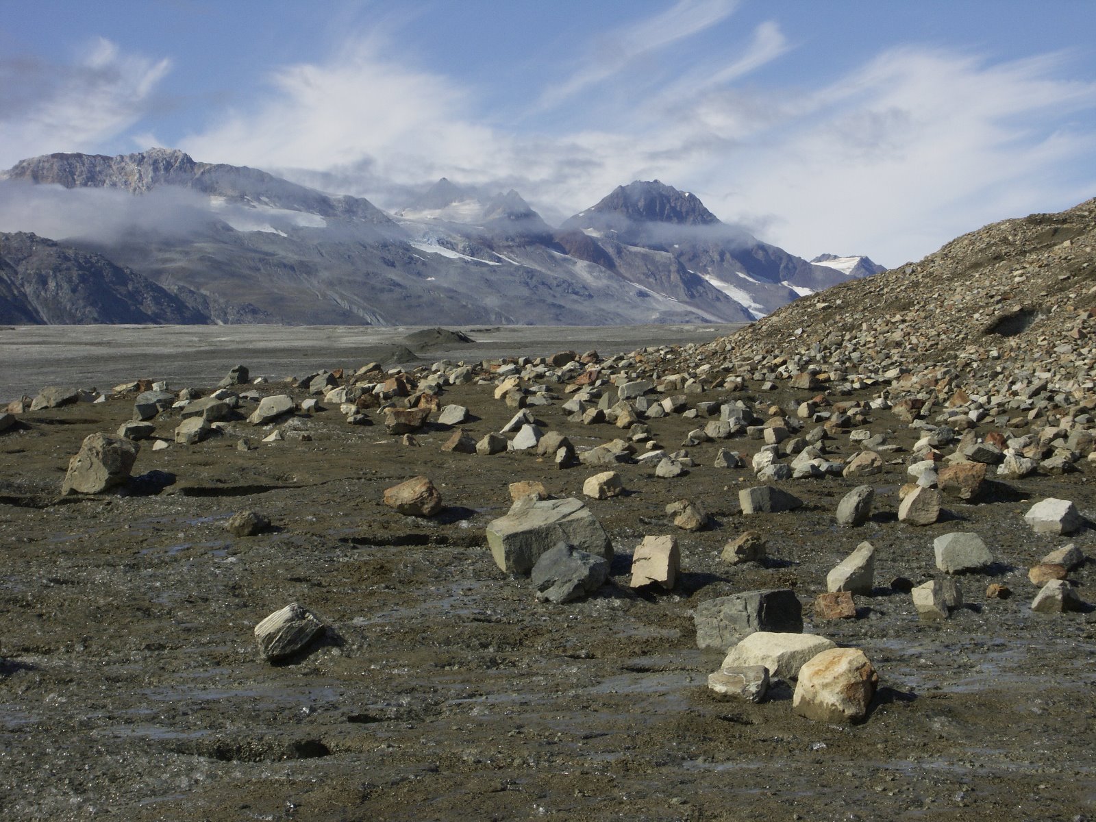
Rocks scatter areas where ice has melted.
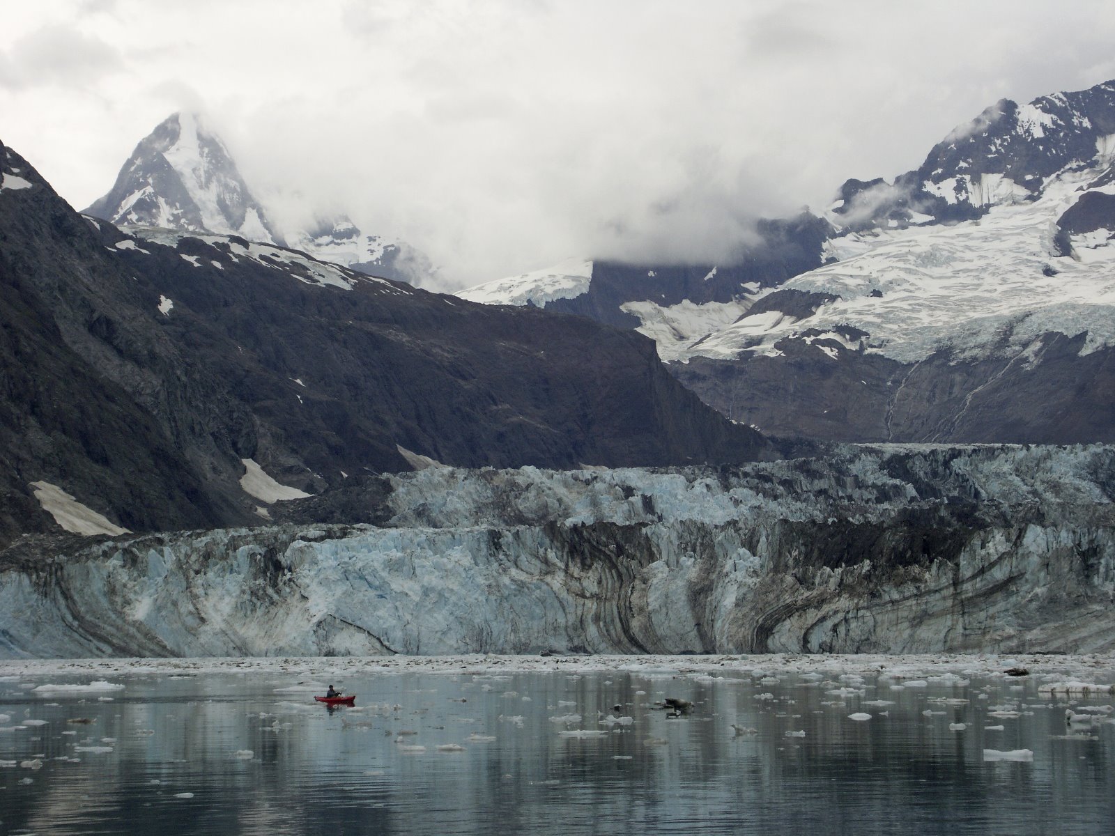
End of Glacier Bay.
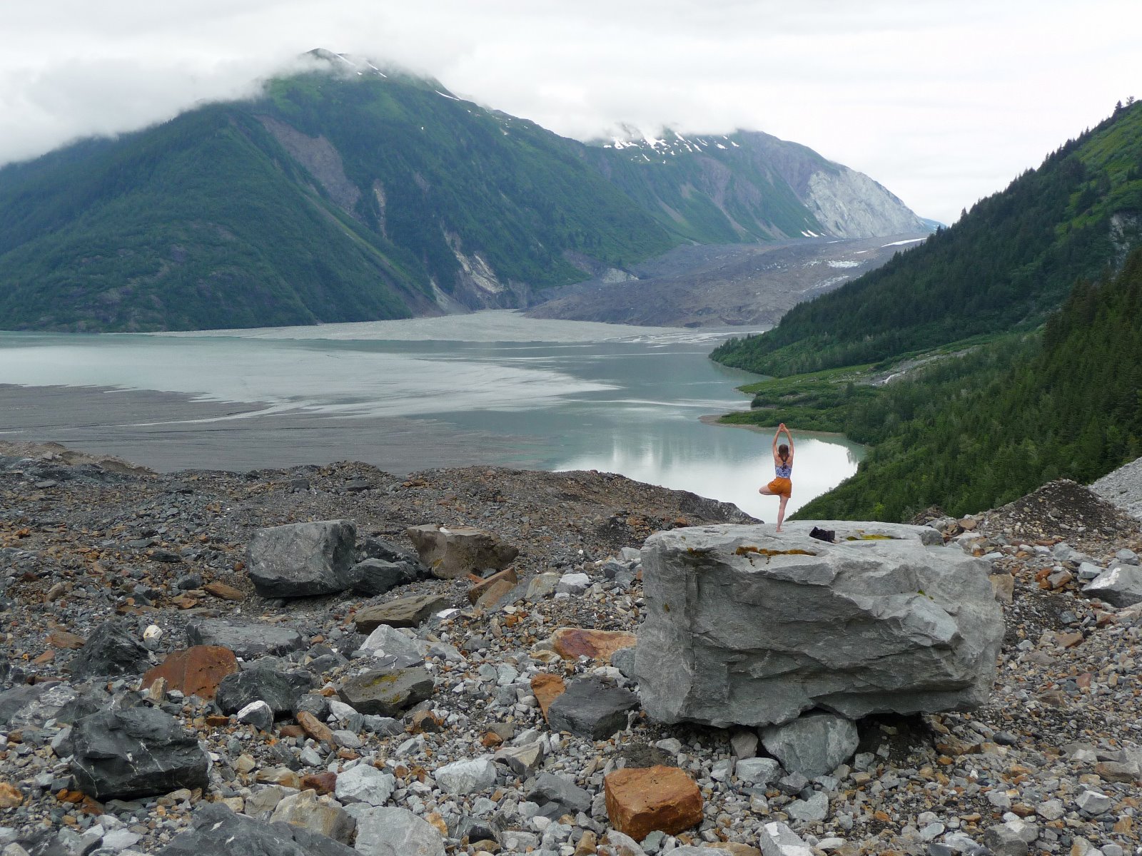
North Crillon Glacier covered with rocks.
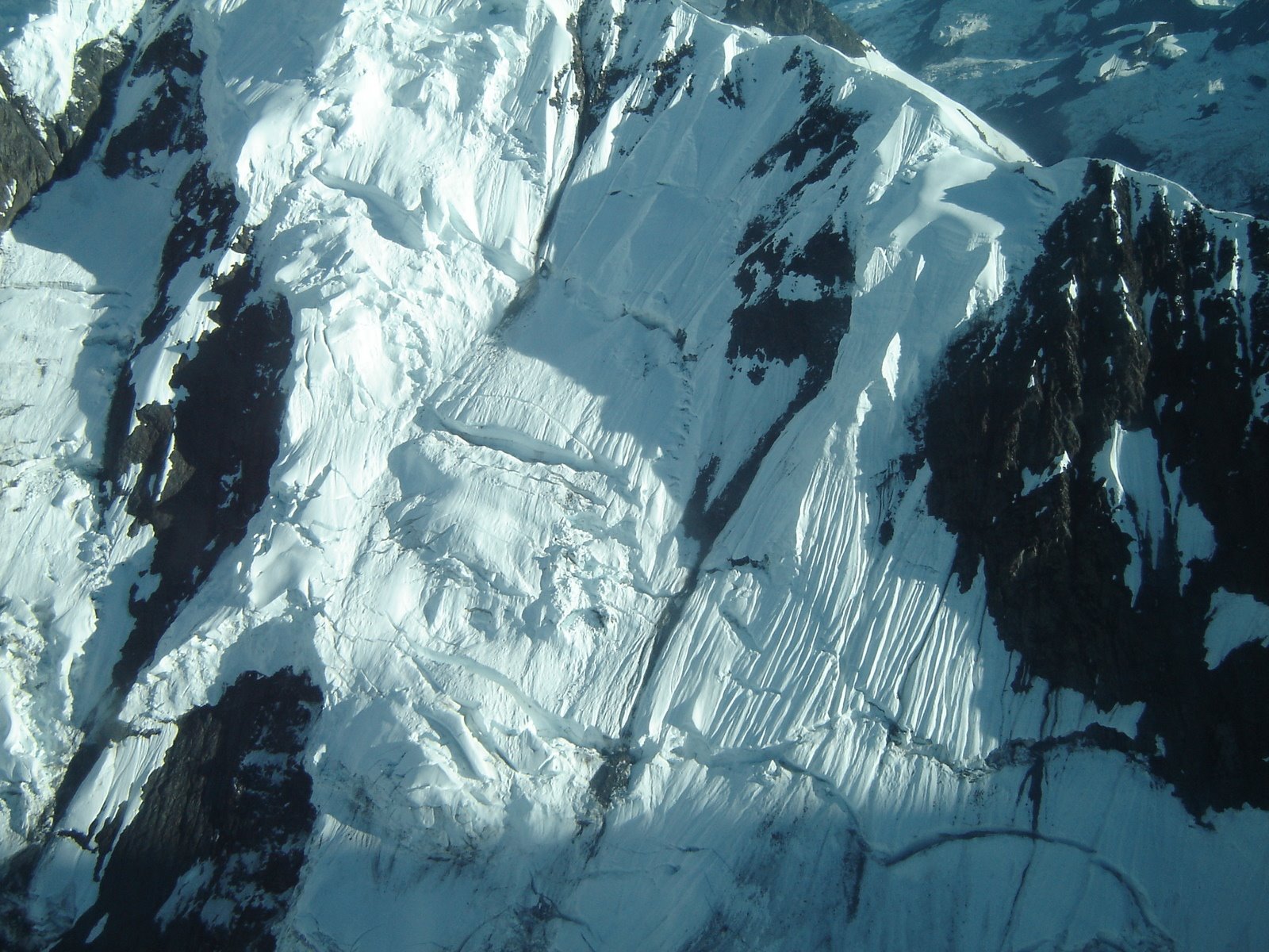
Arêtes are sharp mountain ridges, said to be knife-edged, formed by glacial erosion.

Mountains for the experienced climber only.
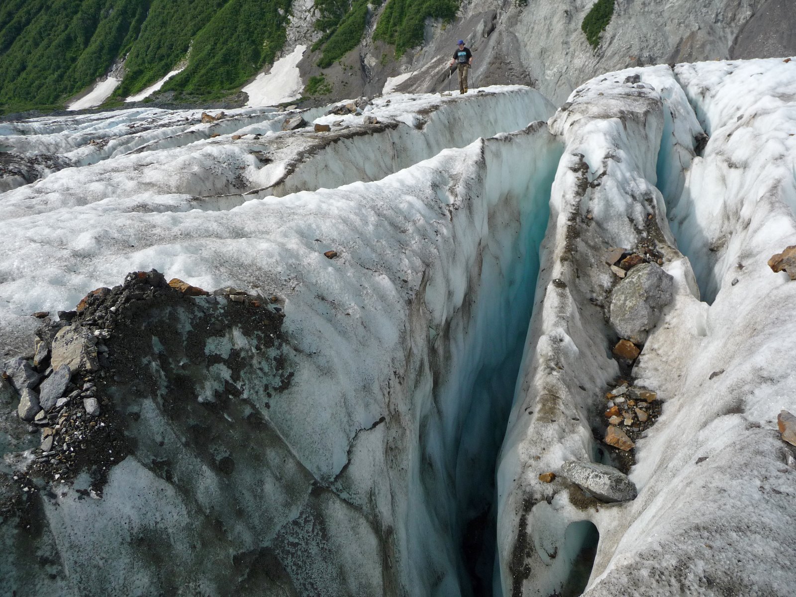
Rocks building up on moving glaciers.
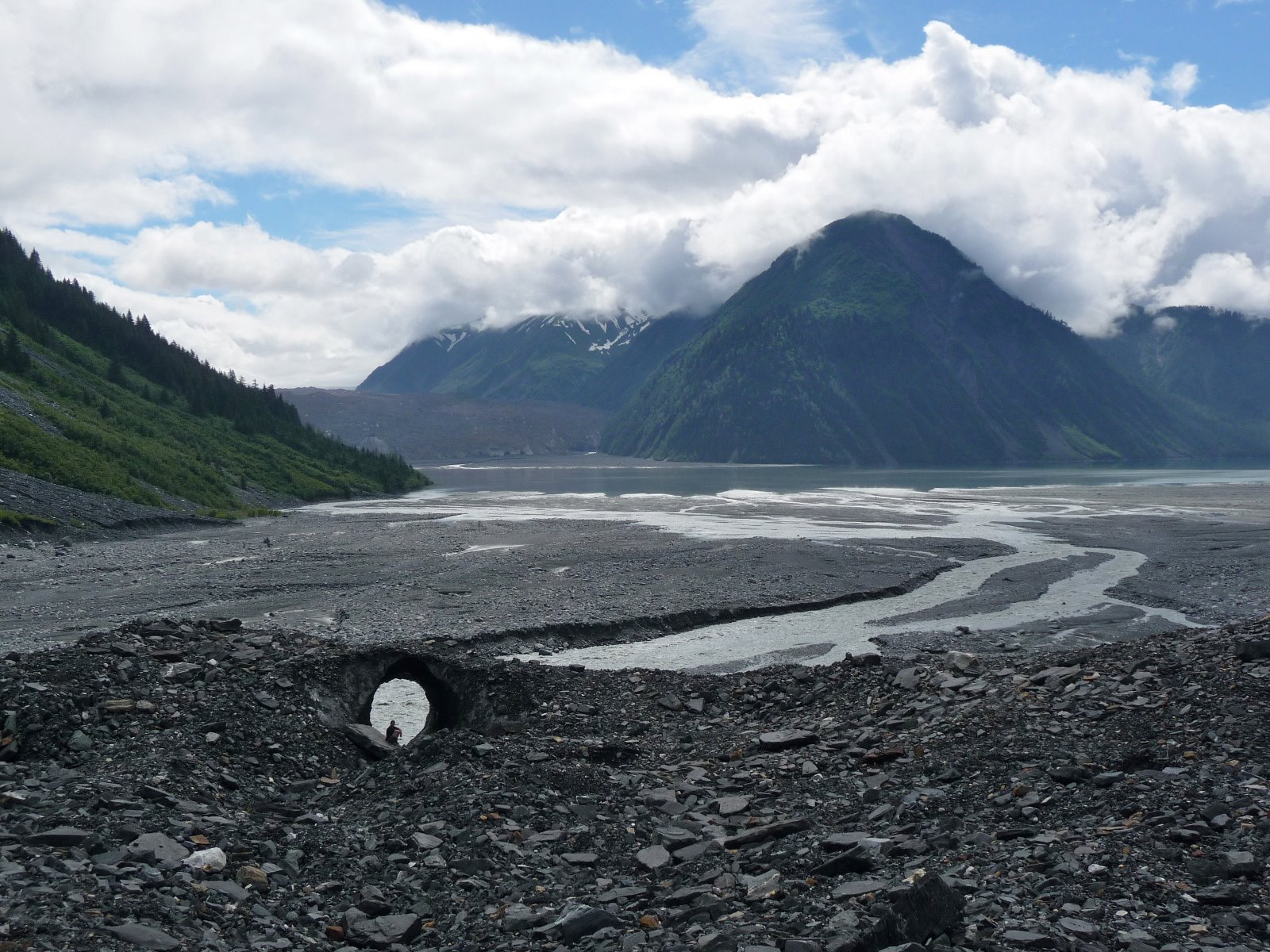
Sculpture carved out by a retreating glacier.
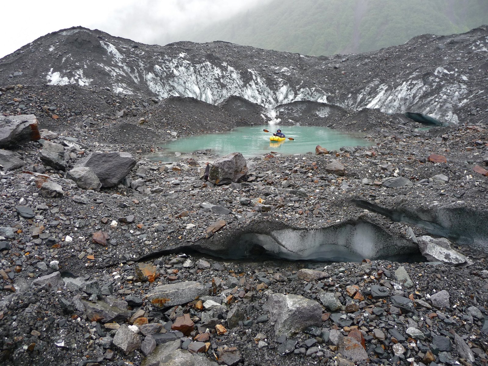
Dammed lakes at the base of melting glaciers.

Water tubes draining water from the melting glacier.
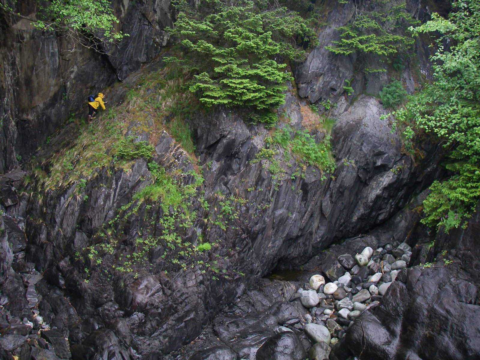
Rocky coastline.
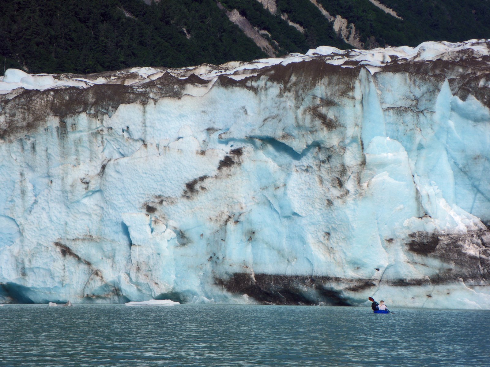
South Crillon Glacier where it pours into Crillon Lake.
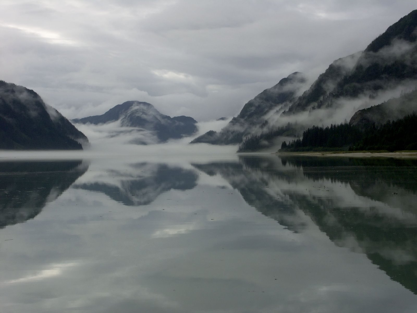
Central Dundas Bay.
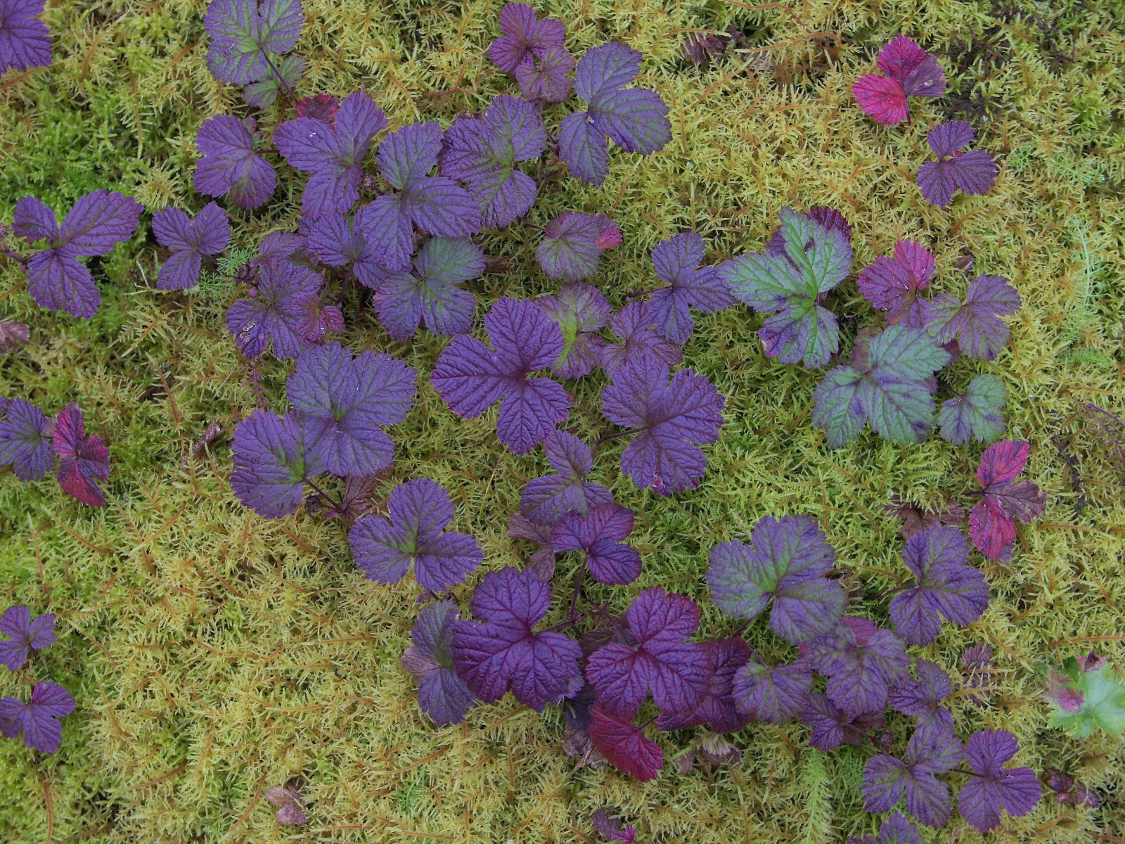
Nagoonberry - the berries are delicious.
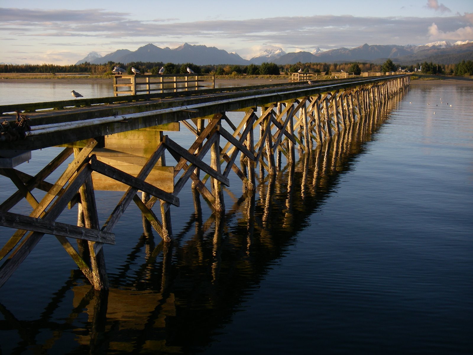
Docks are incredibly important facilities for isolated Southeast Alaska towns.
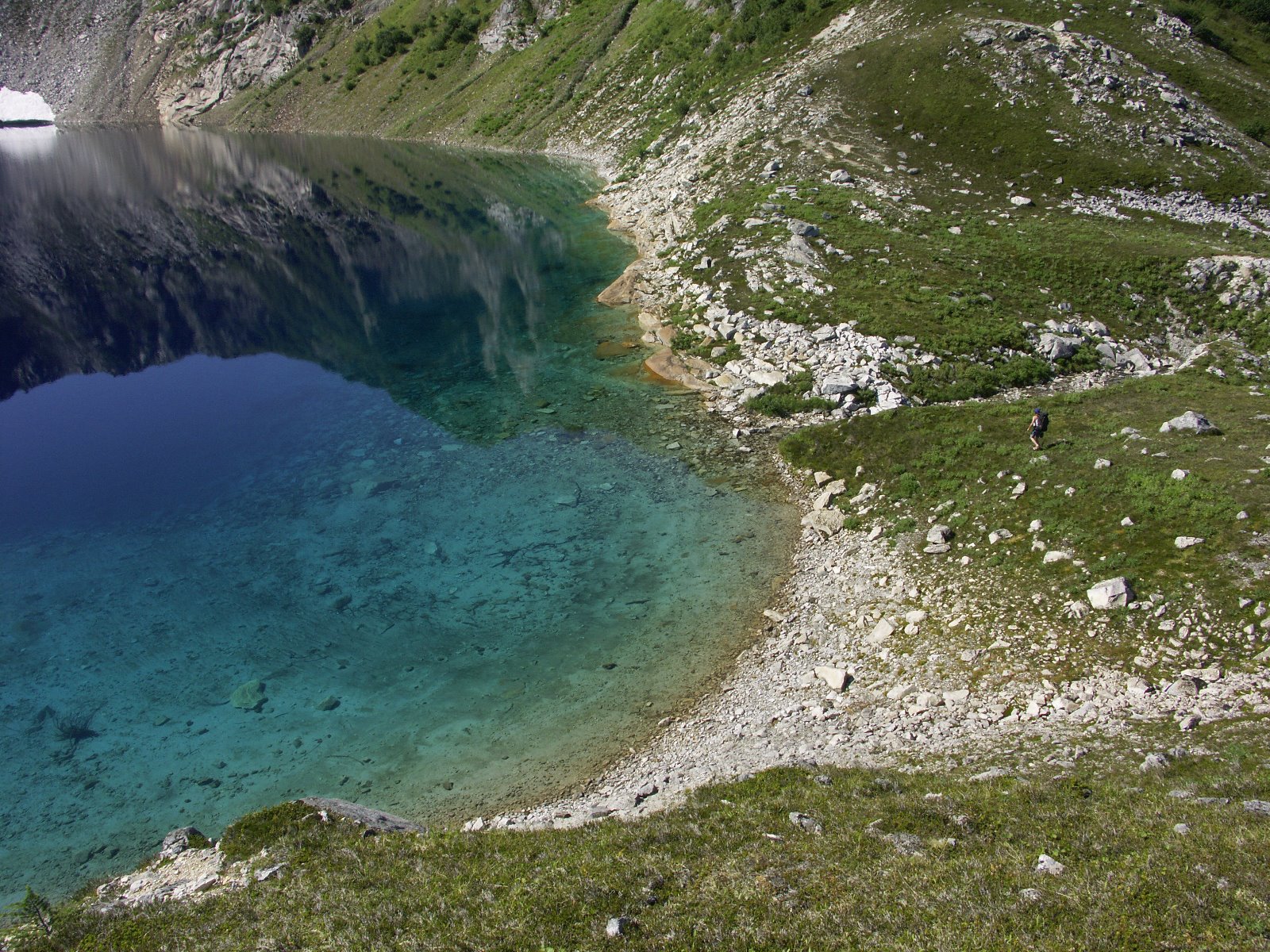
Most of the year this alpine lake is frozen over and covered with snow.
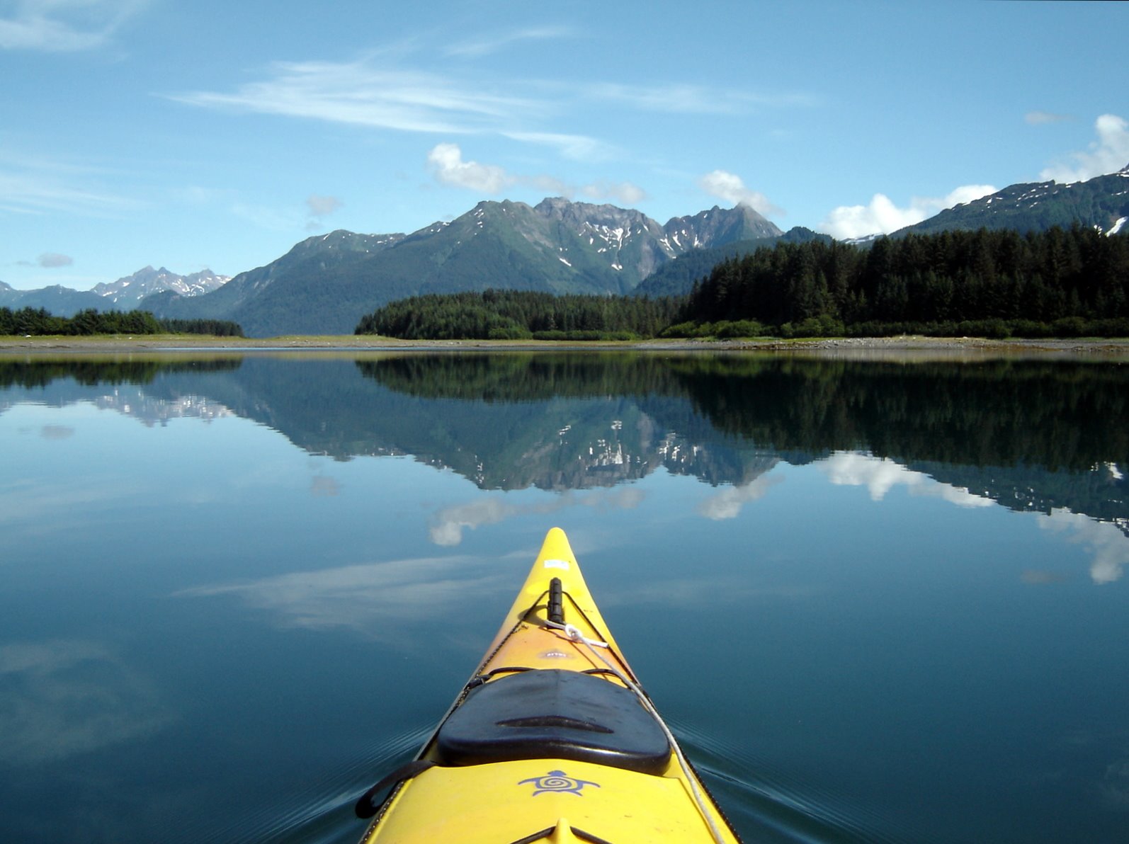
Kayaking in Glacier Bay National Park
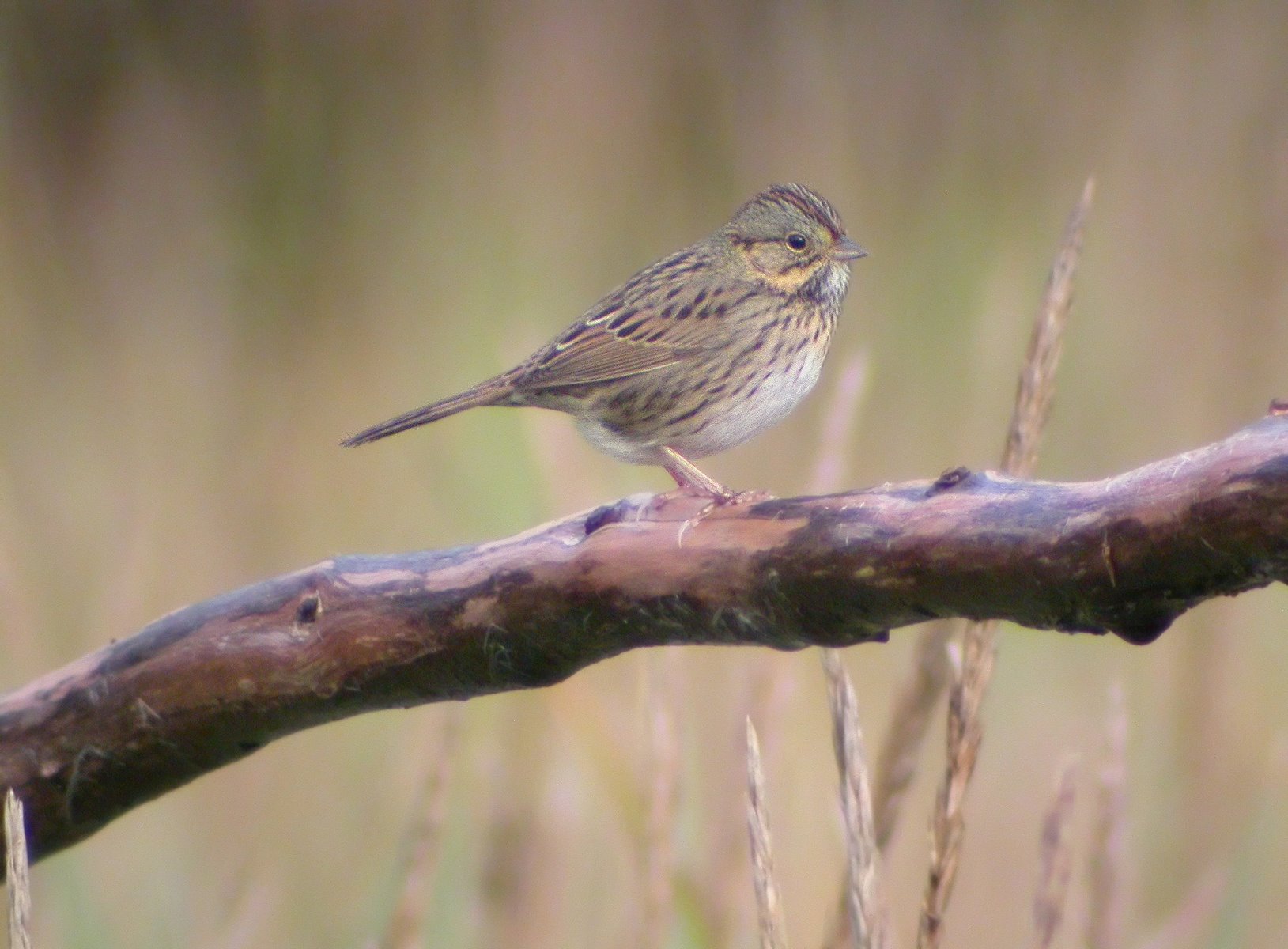
Lincoln’s Sparrow.

Orca at Glacier Bay.
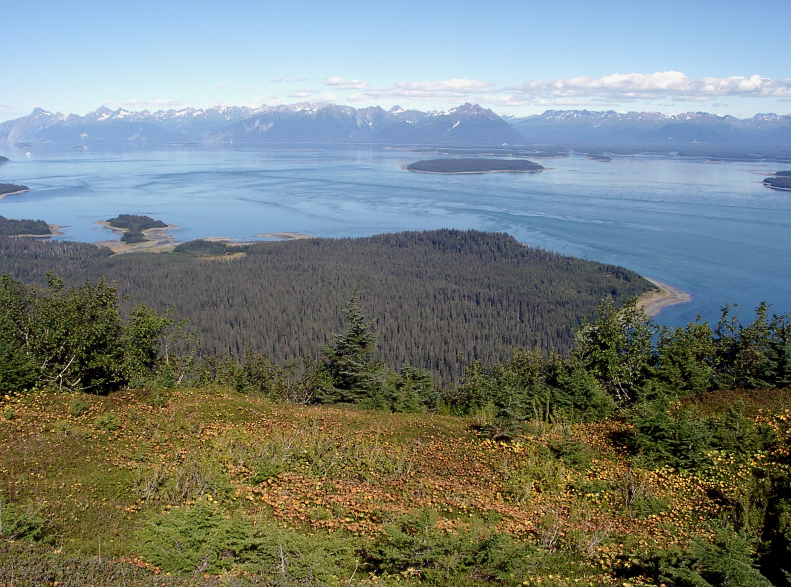
Lower Glacier Bay with Sitakaday Narrows on the right.
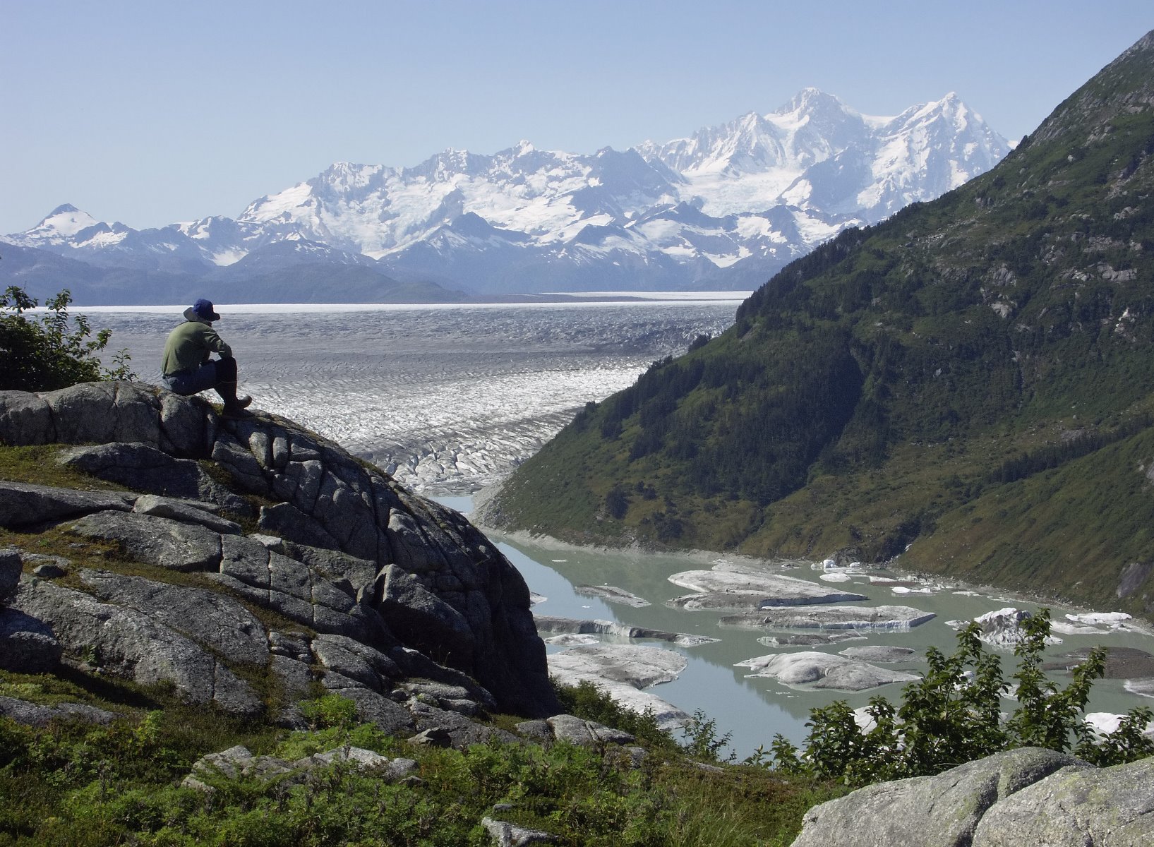
Views over Glacier Bay National Park.
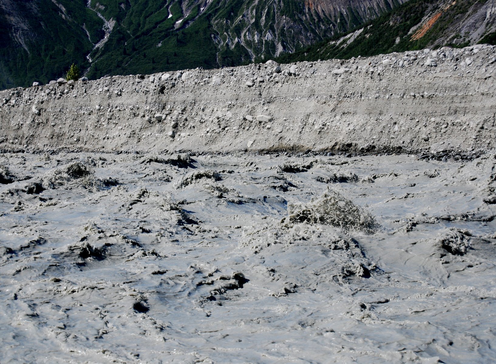
Run off from the Carroll Glacier.

Blue Grouse, known locally as hooters.

Sunset over the Beardslee Islands.
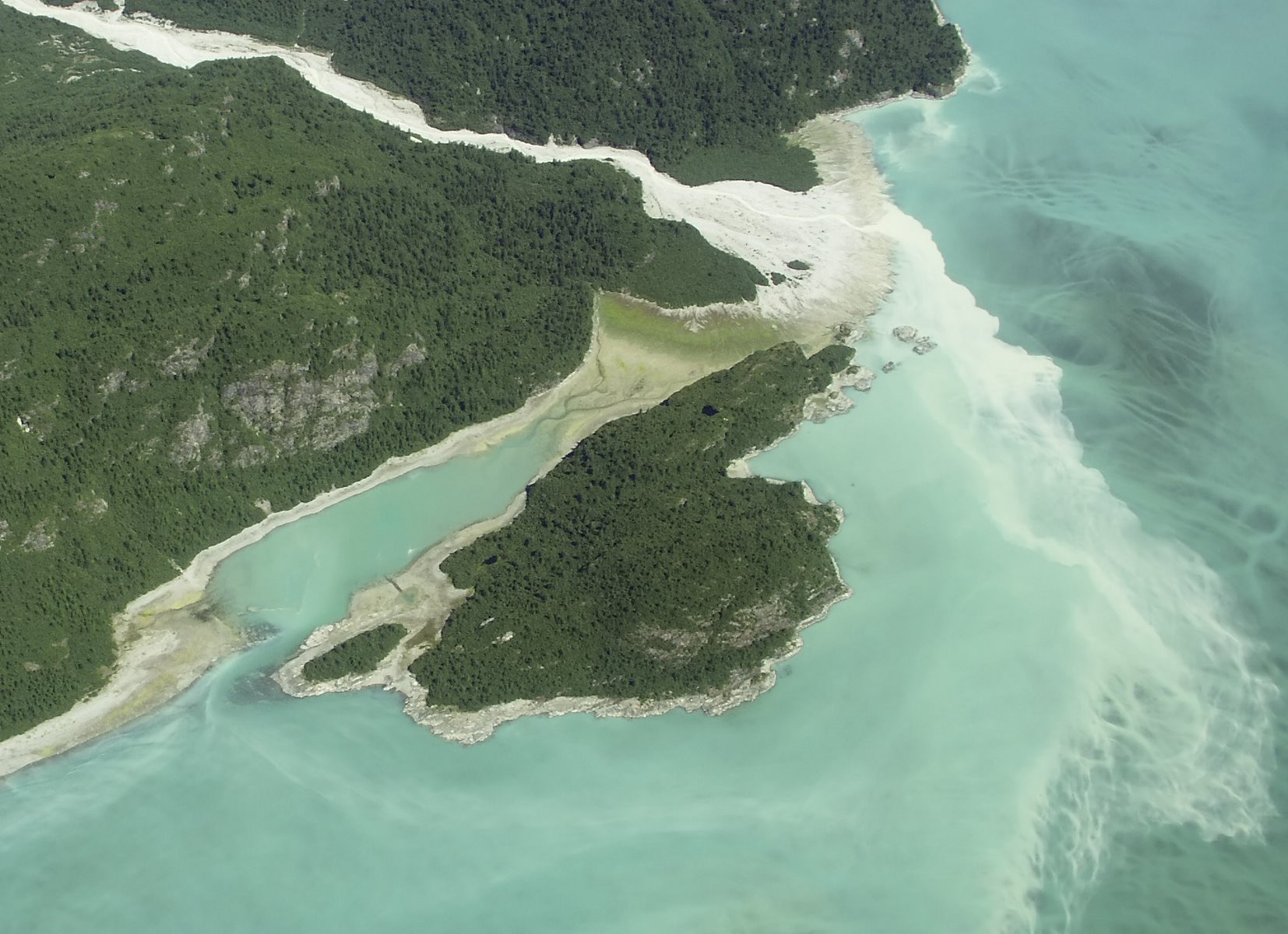
Glacial silt… or flour as it is known.
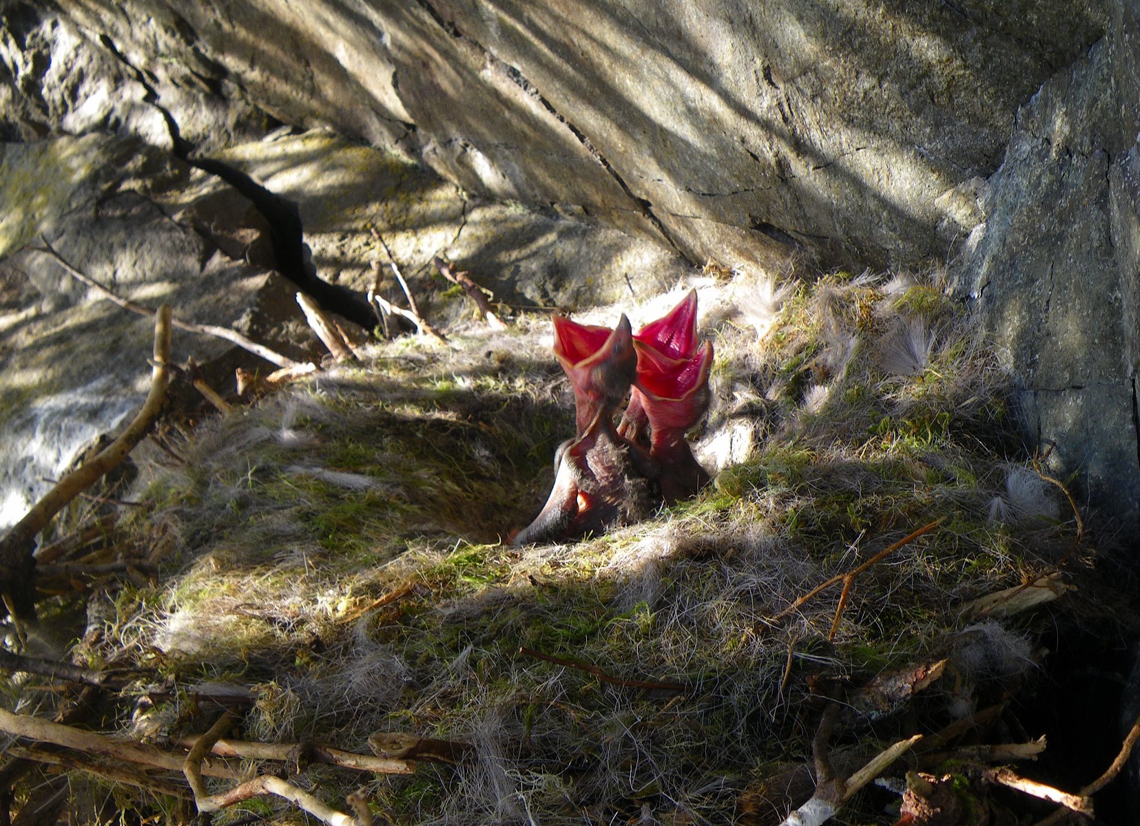
Newly hatched Common Raven chicks.
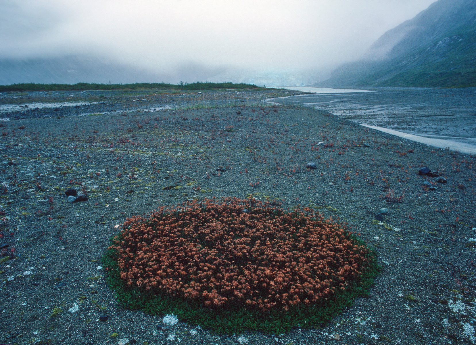
Dryas plant that has taken root in nutrient poor soil.
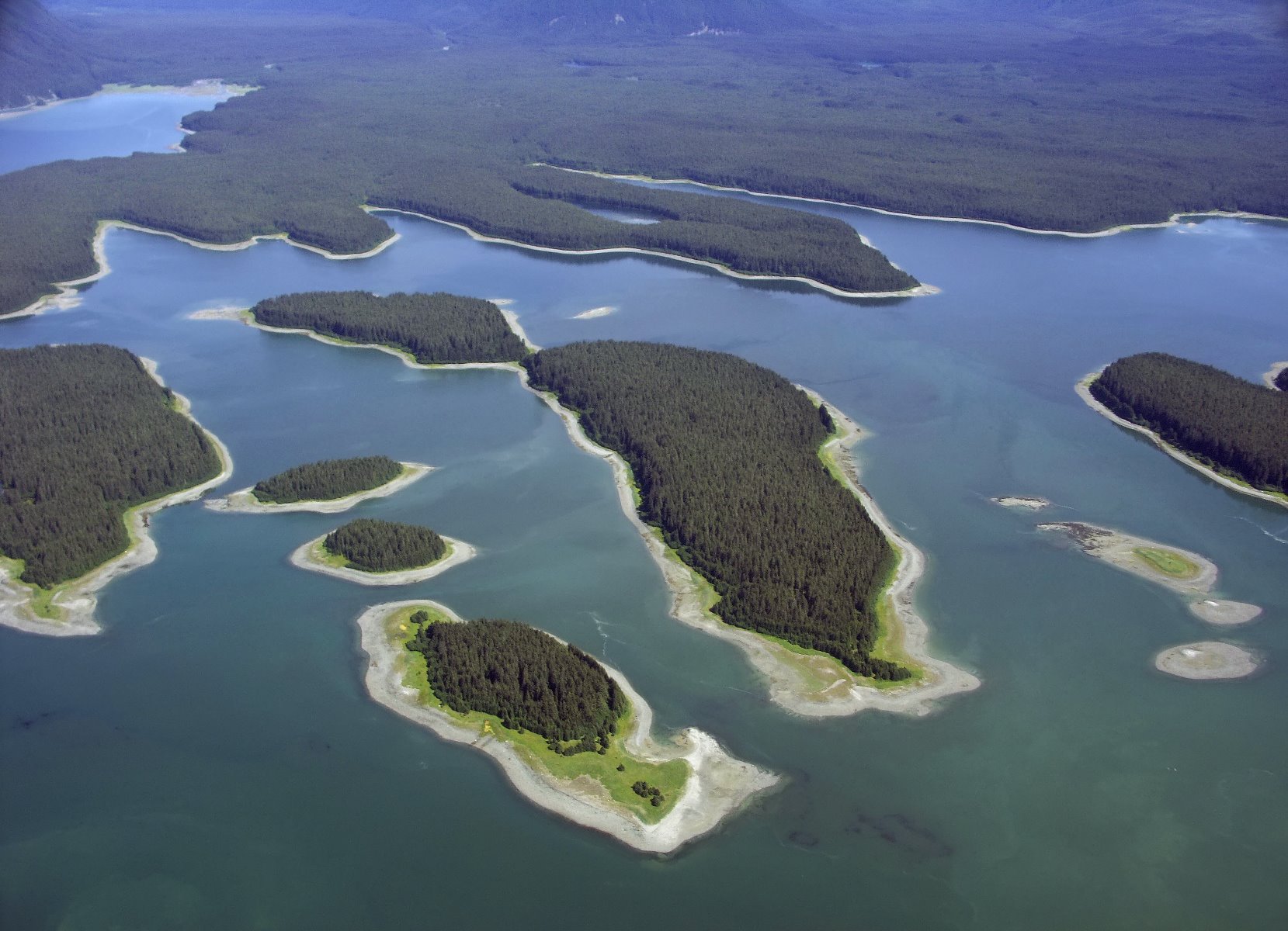
Beardslee Islands.
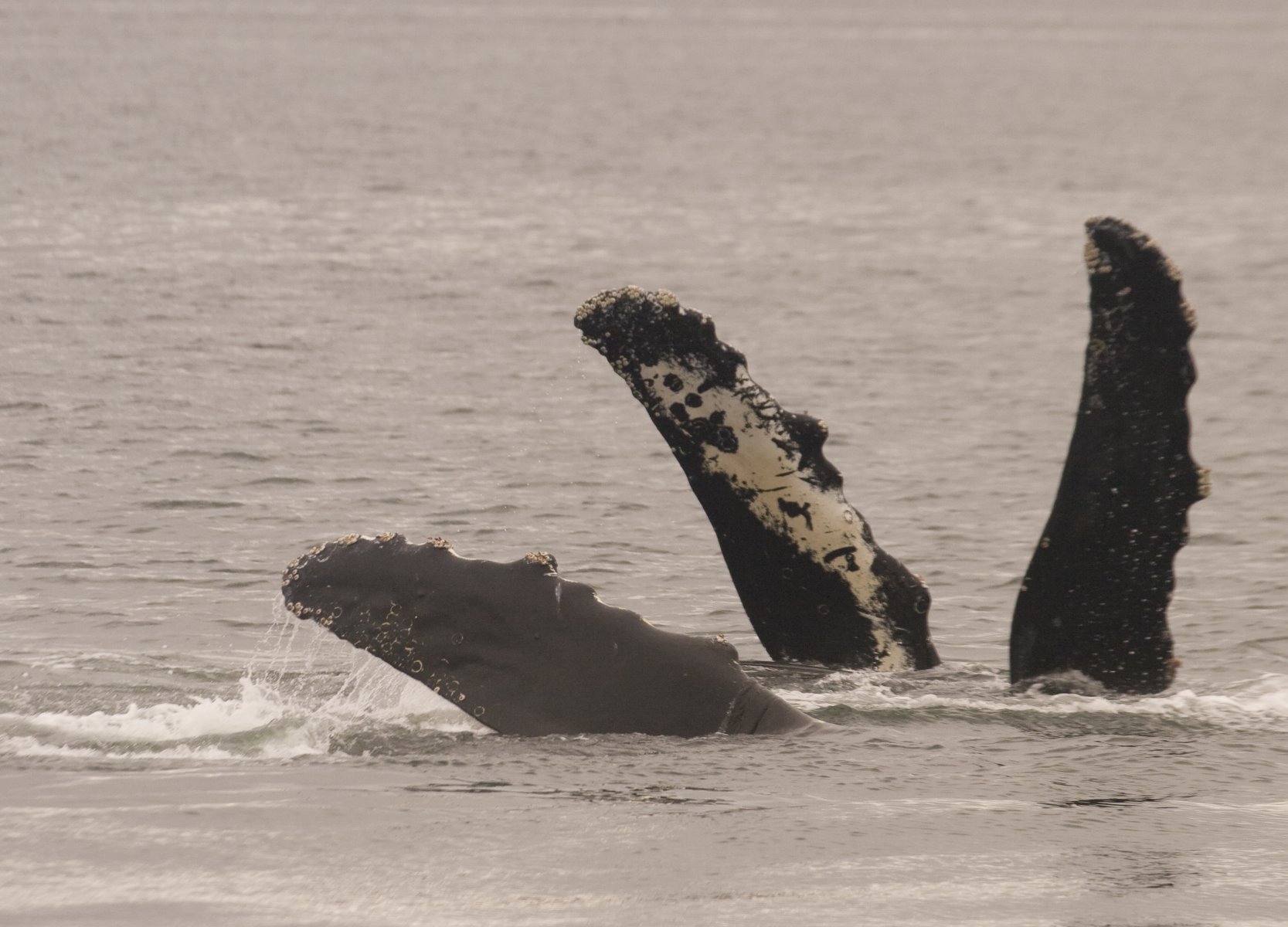
Humpback whale is formally the Megaptera novaeangliae
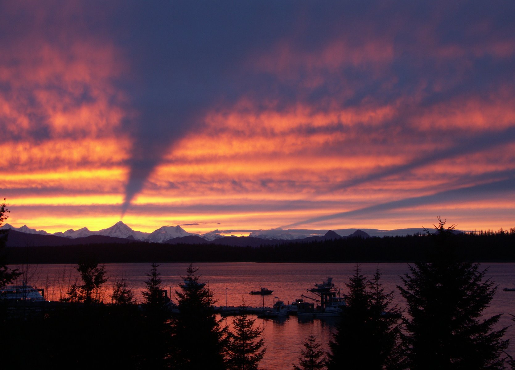
Sunset from Bartlett Cove with the Fairweather Mountains in the background.
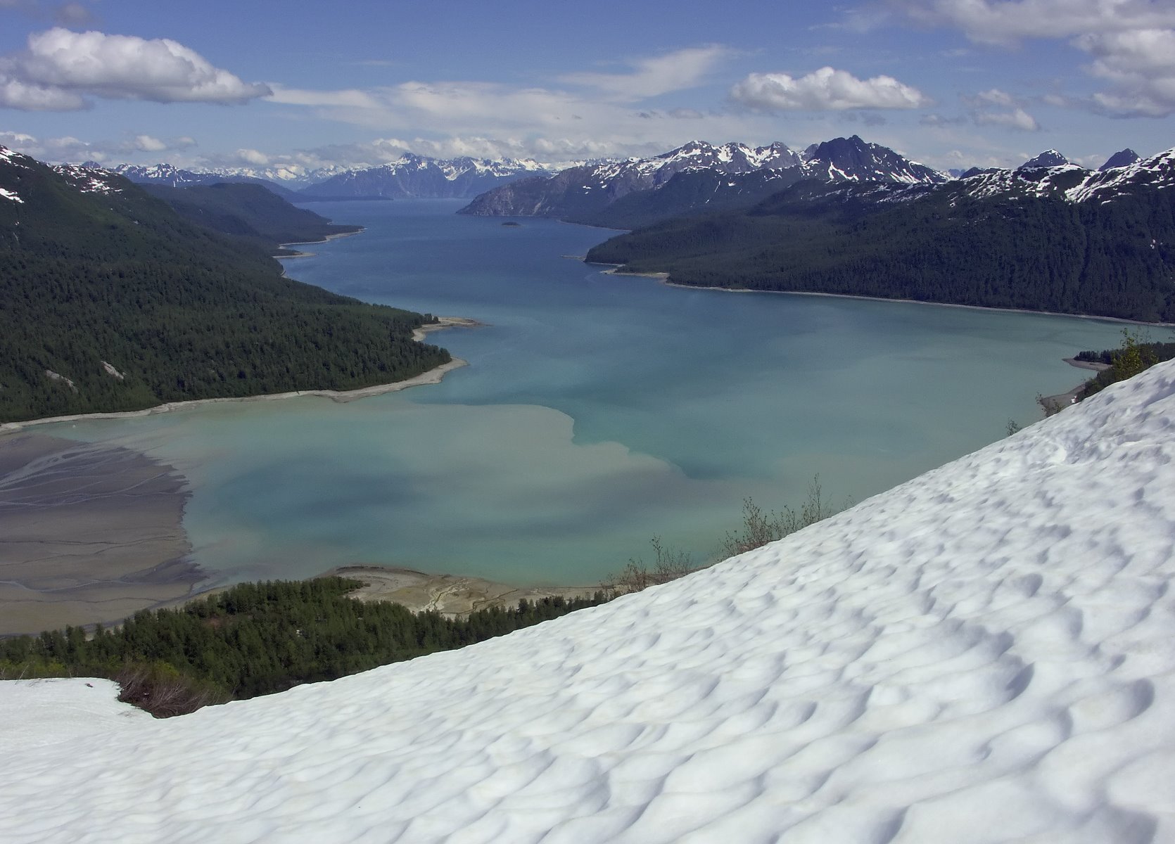
Climbing the backcountry of Glacier Bay is often trail-less.
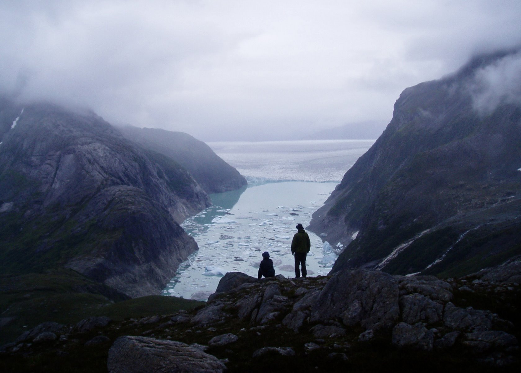
Iceberg studded lake near the massive Brady Glacier.
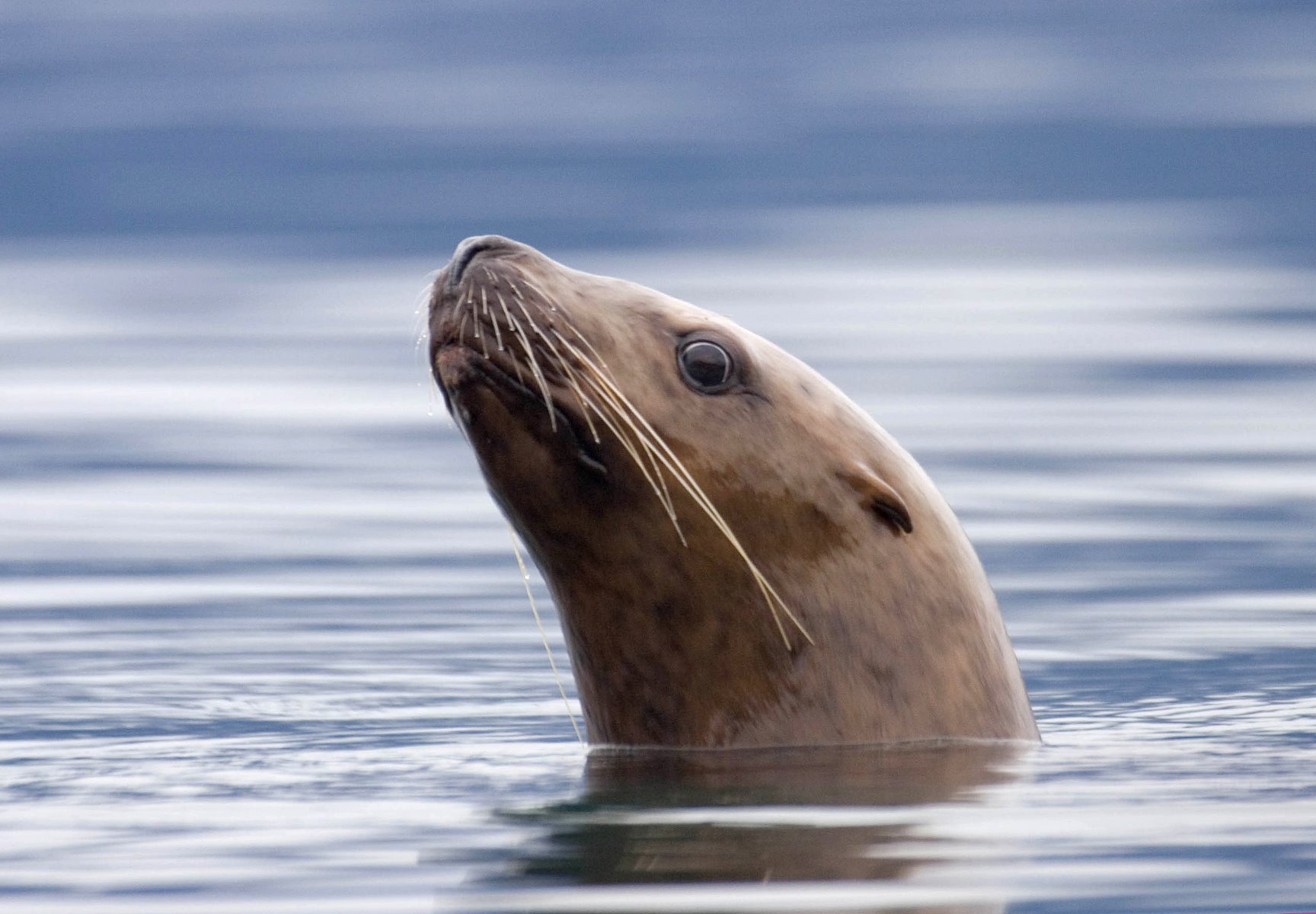
Sea lion.
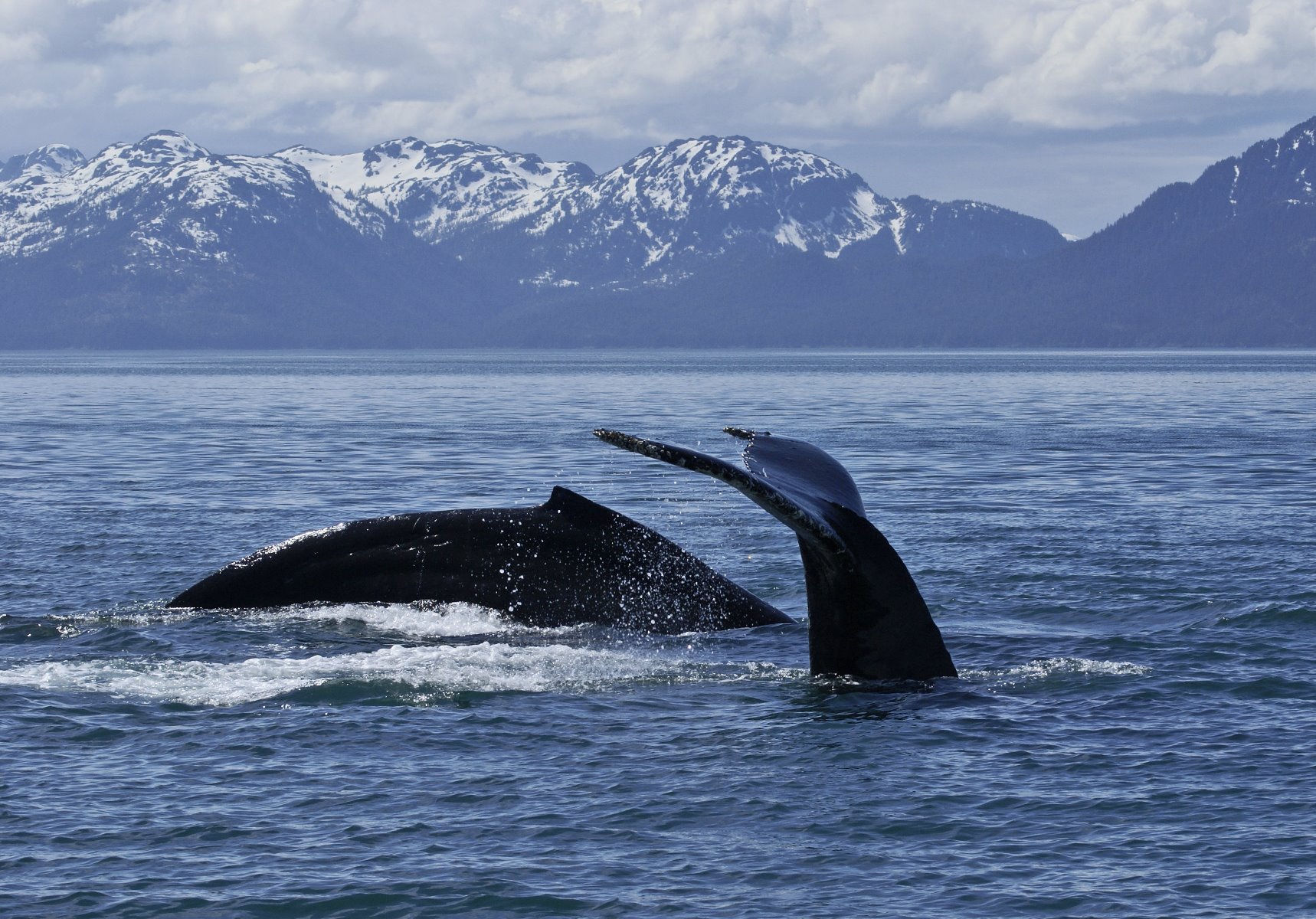
Humpback whales take the plunge.
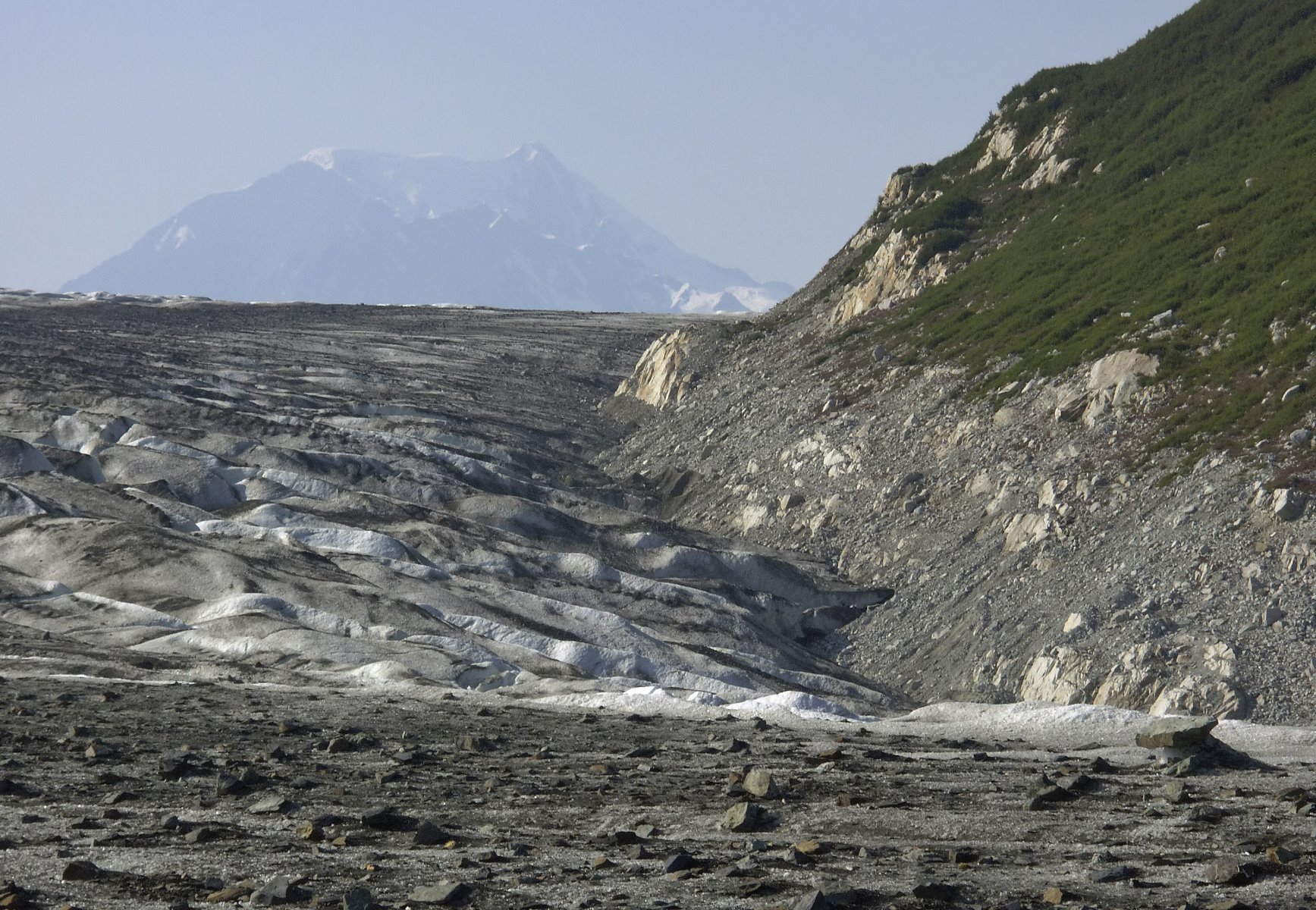
Transition between ice and land on glacier hike.
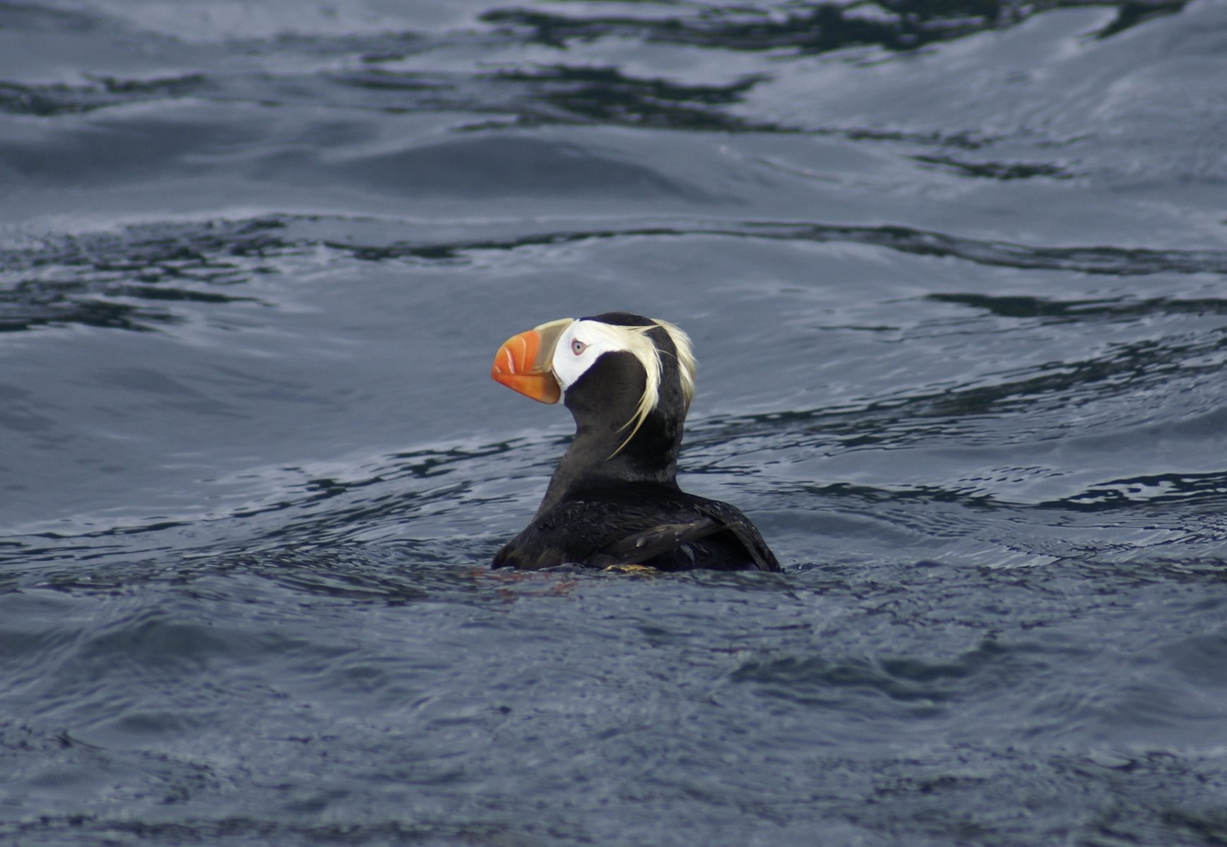
Puffins, once common are now quite rare.
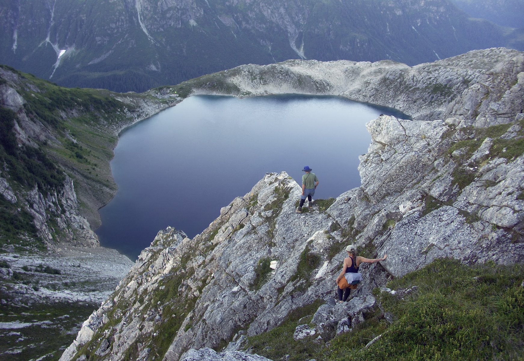
Tarne lakes in the high country.
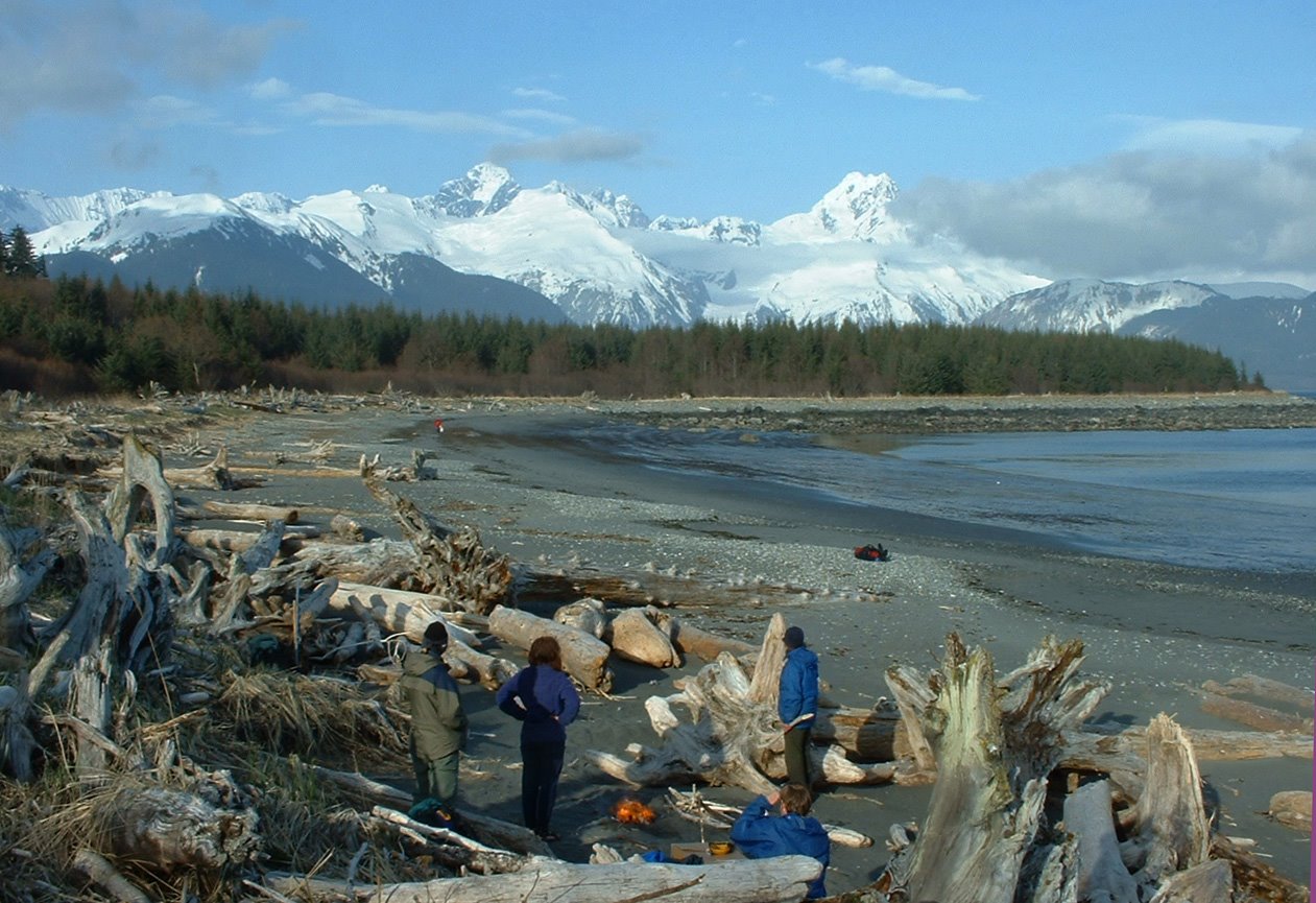
Camp between Fairweather Mountain and the Gulf of Alaska.
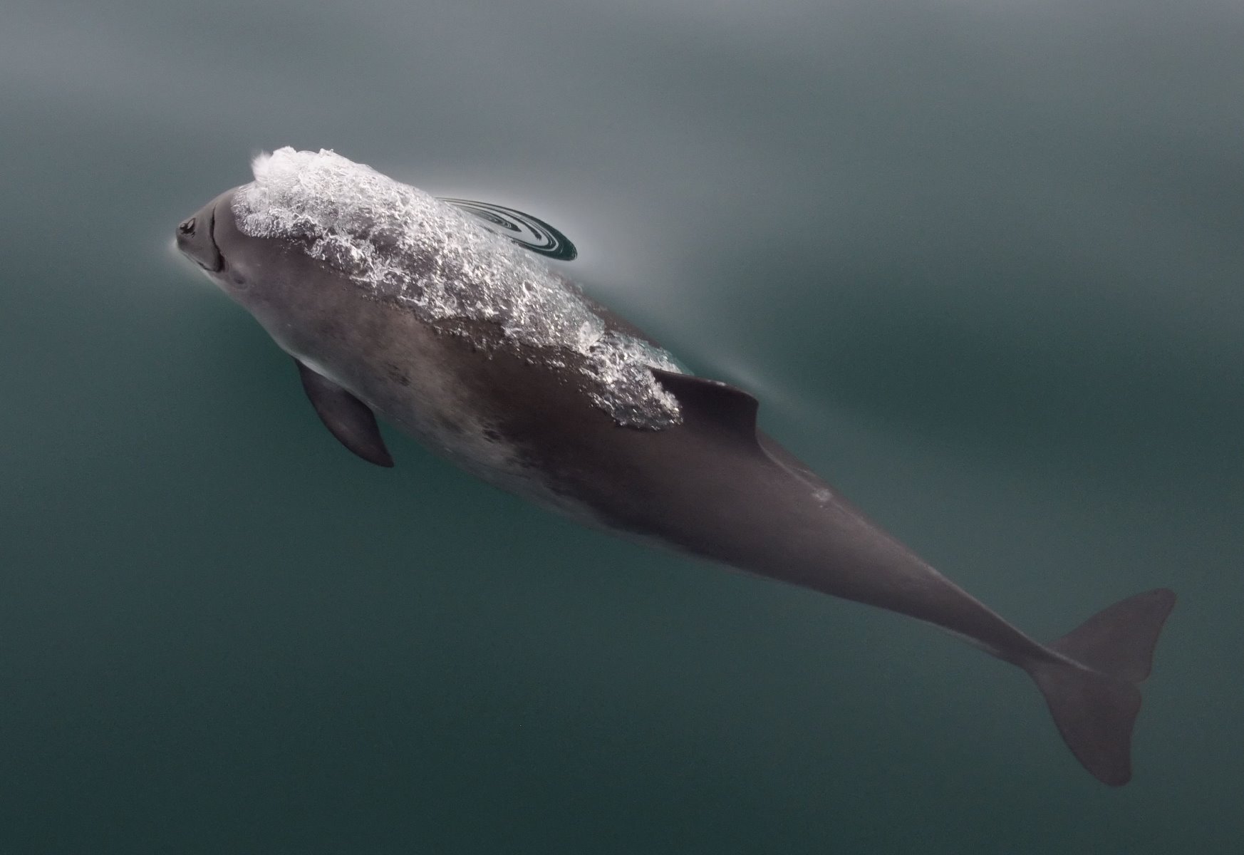
Harbour porpoise.
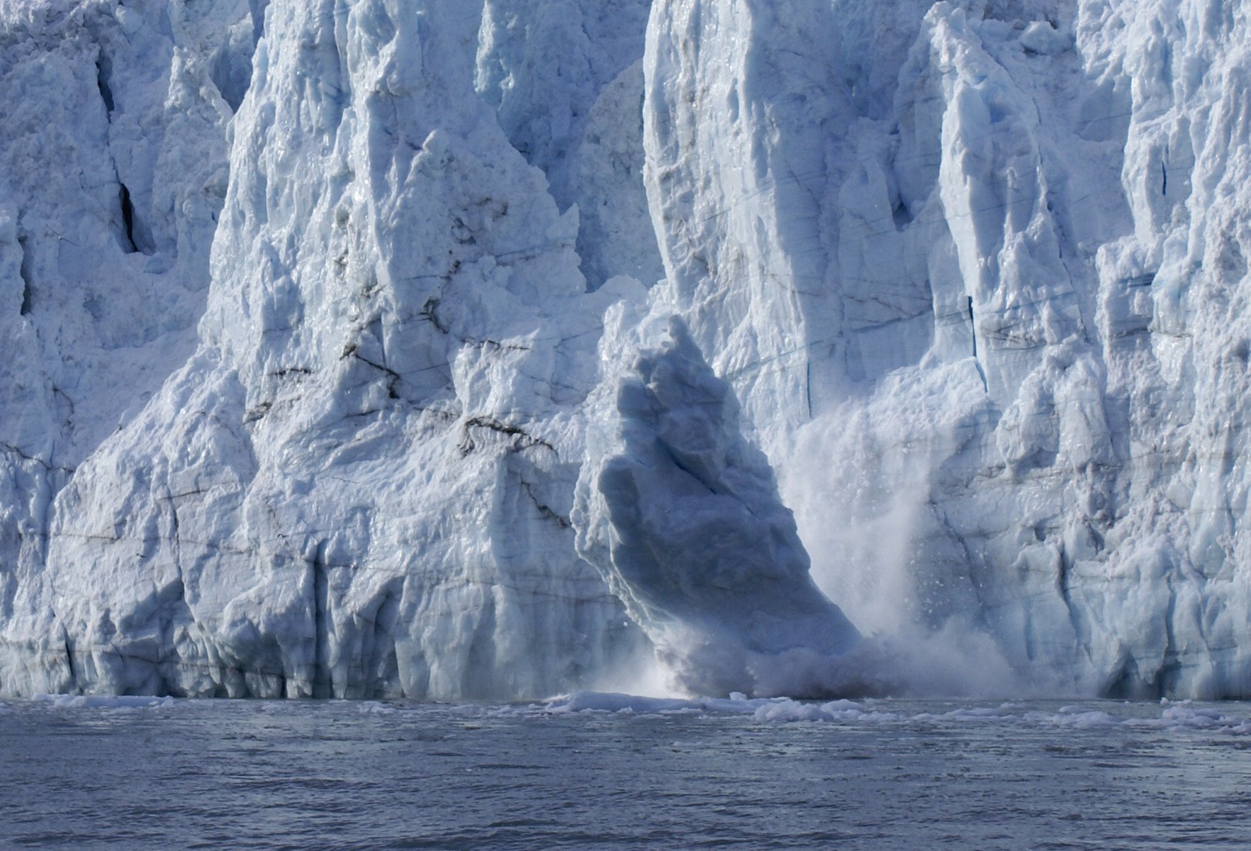
Margerie Glacier calving.
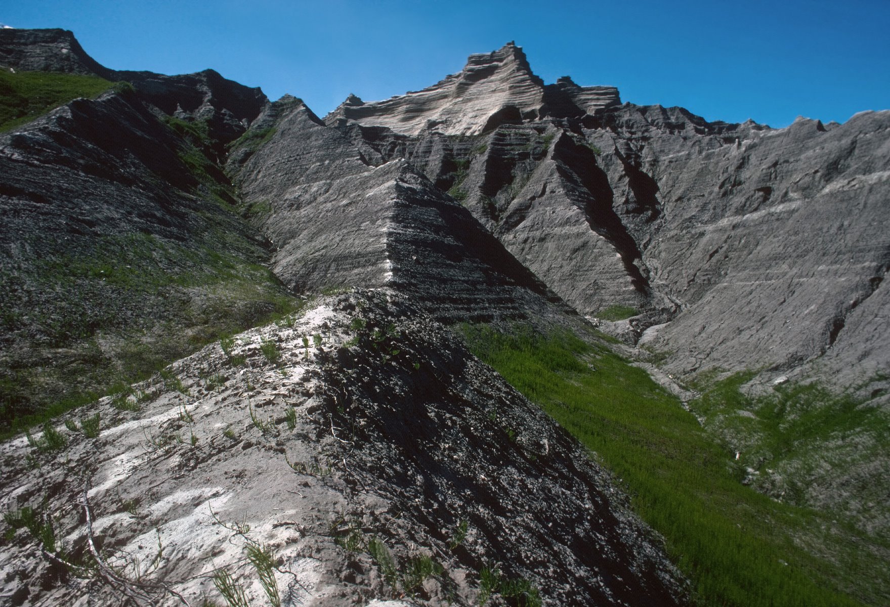
East Arm of Glacier Bay, Adams Inlet area.
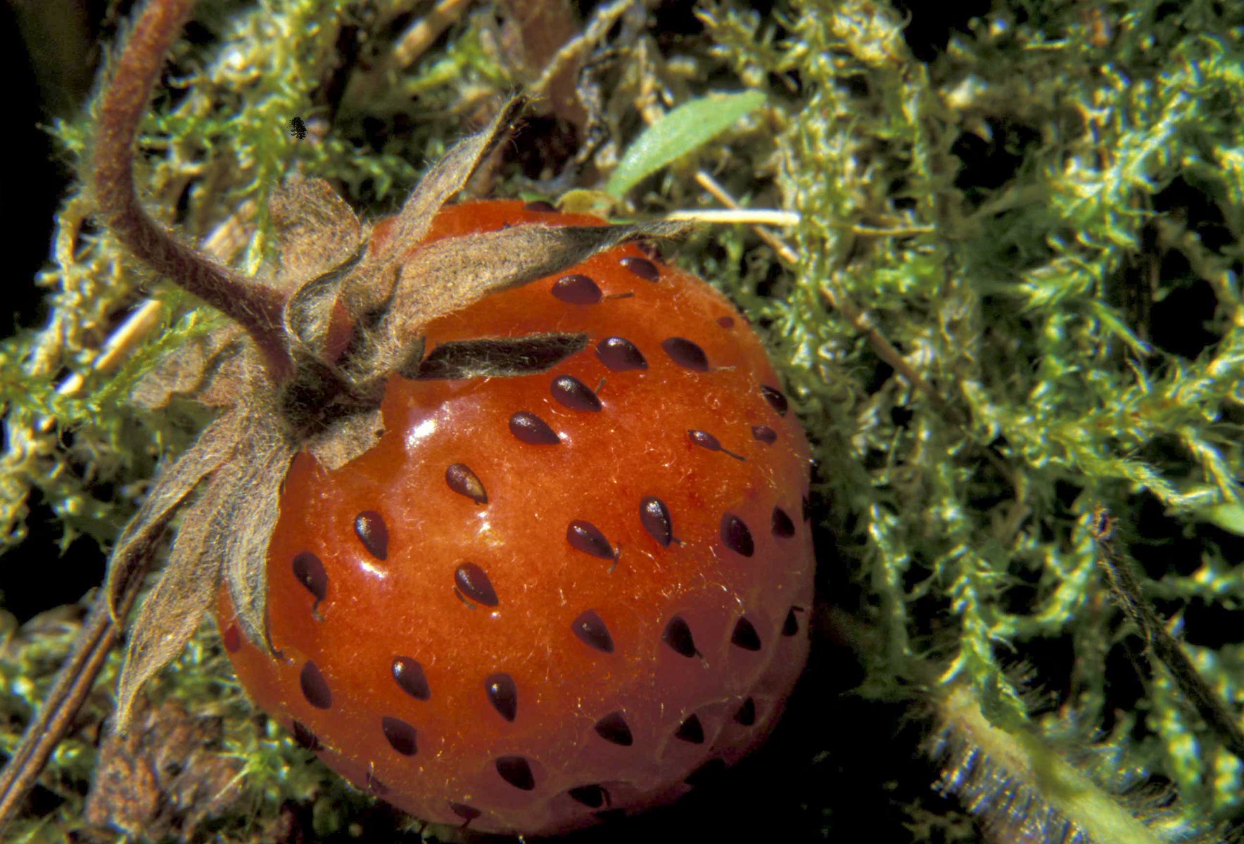
Wild strawberries in the rich Glacier Bay habitats.

Evenings in Glacier Bay.

Breaching humpback whale calf.
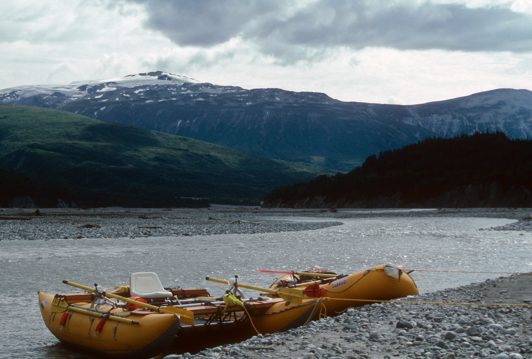
Tatshenshini-Alsek River entices adventurers.
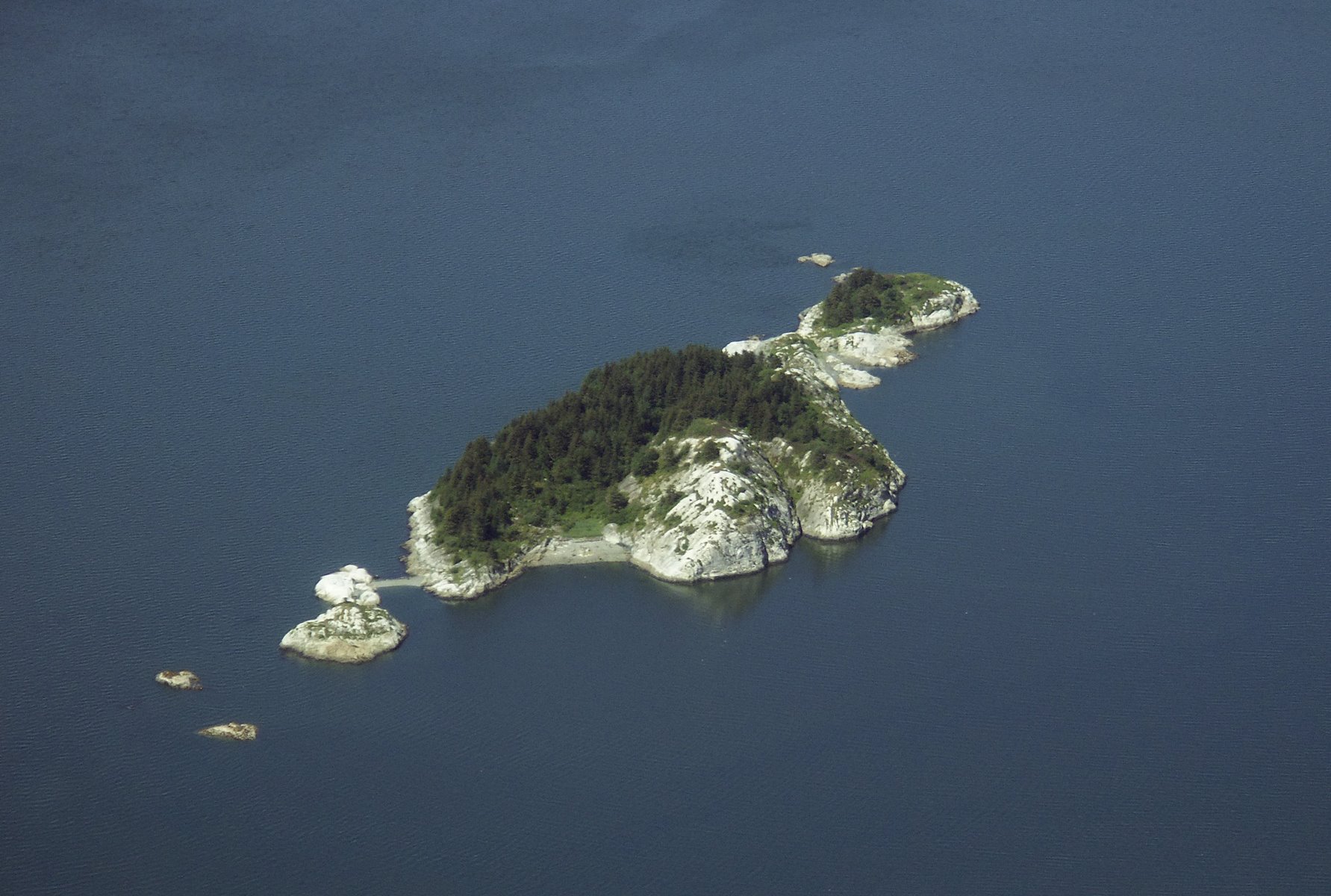
South Marble Island.
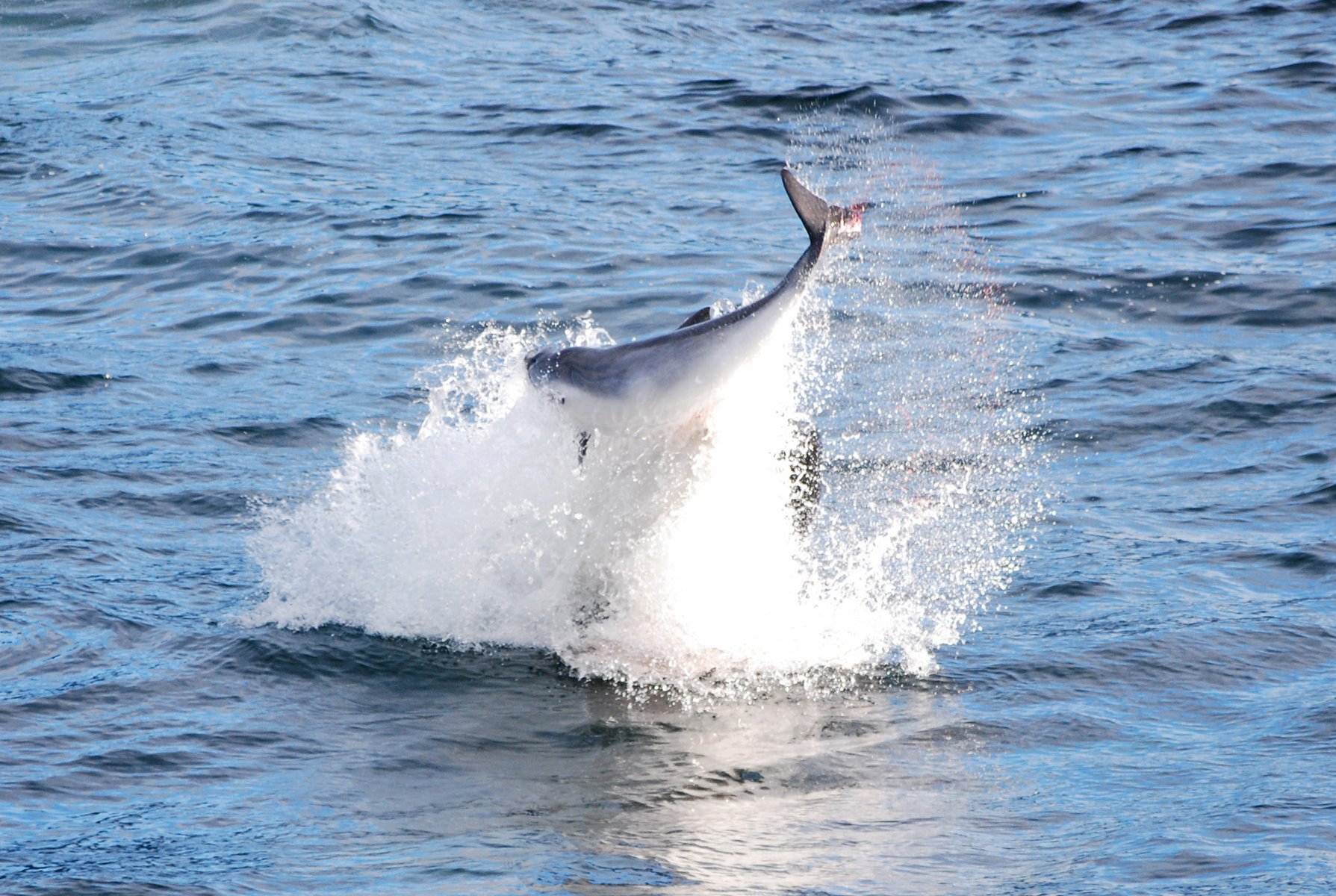
Orca has knocked a harbour porpoise out of the water before catching it.
Glacier Bay

Lush rainforest leading to Bartlett Lake
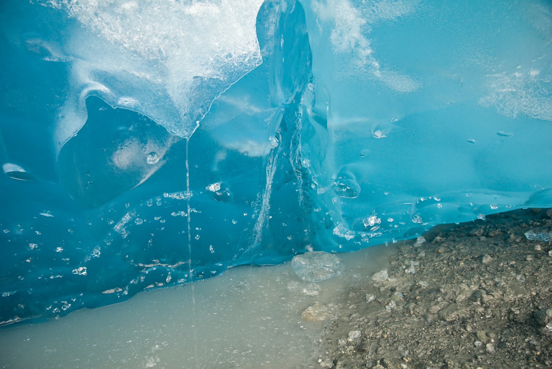
Close shot of Reid Glacier’s vibrant blue colours.
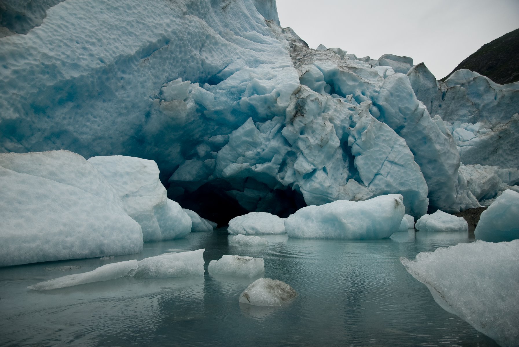
Reid Glacier, Glacier Bay.
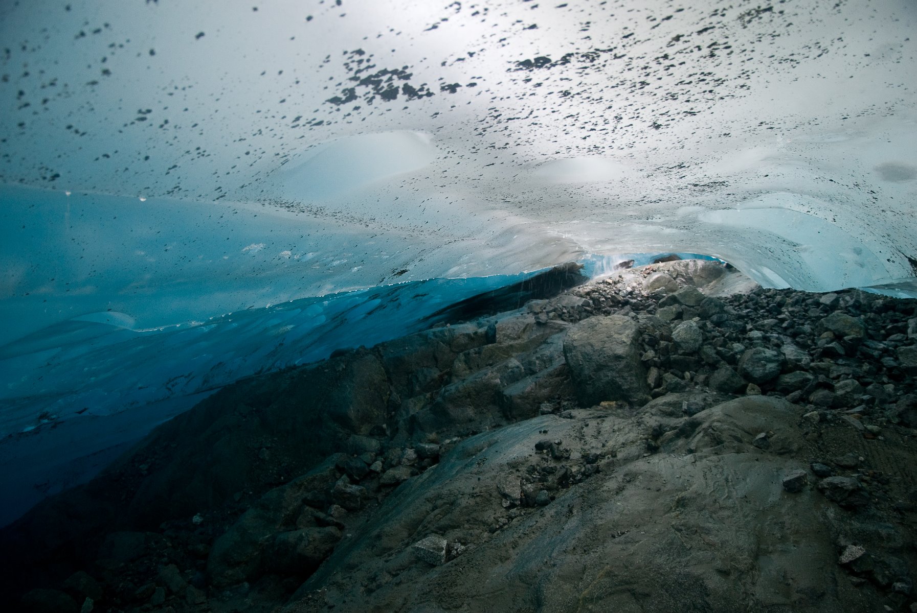
Ice cave at Reid Glacier.
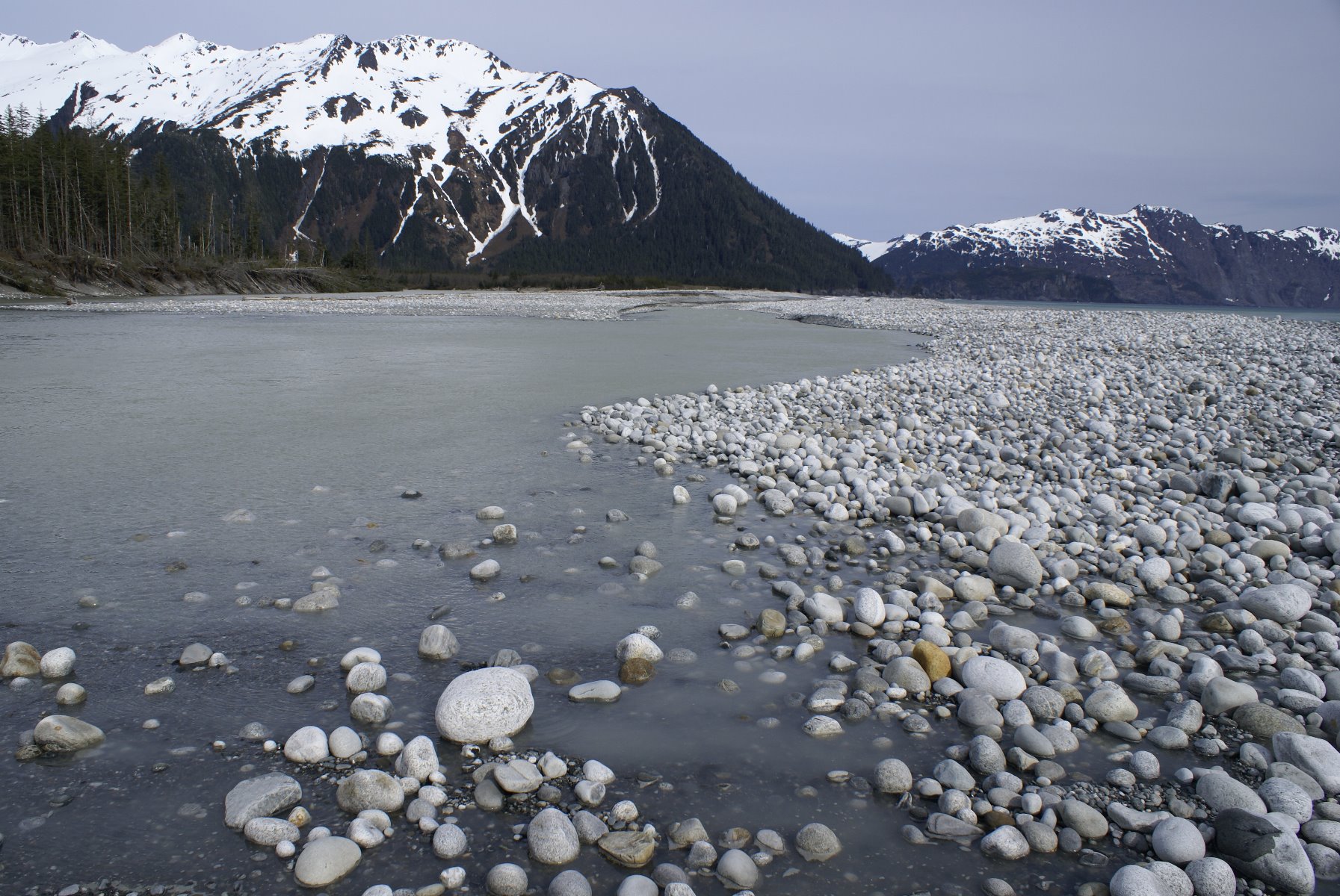
Cobble and boulder beaches on the outer edge of Glacier Bay National Park.

Waterfall gushing form the face of the Lamplugh Glacier.
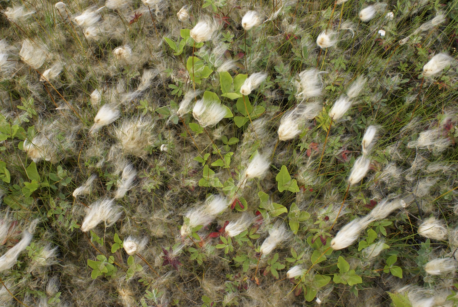
Cotton grass fruits are grain-like seeds with tufts of attached ‘cotton’ that catch the wind and disperse the fruit.
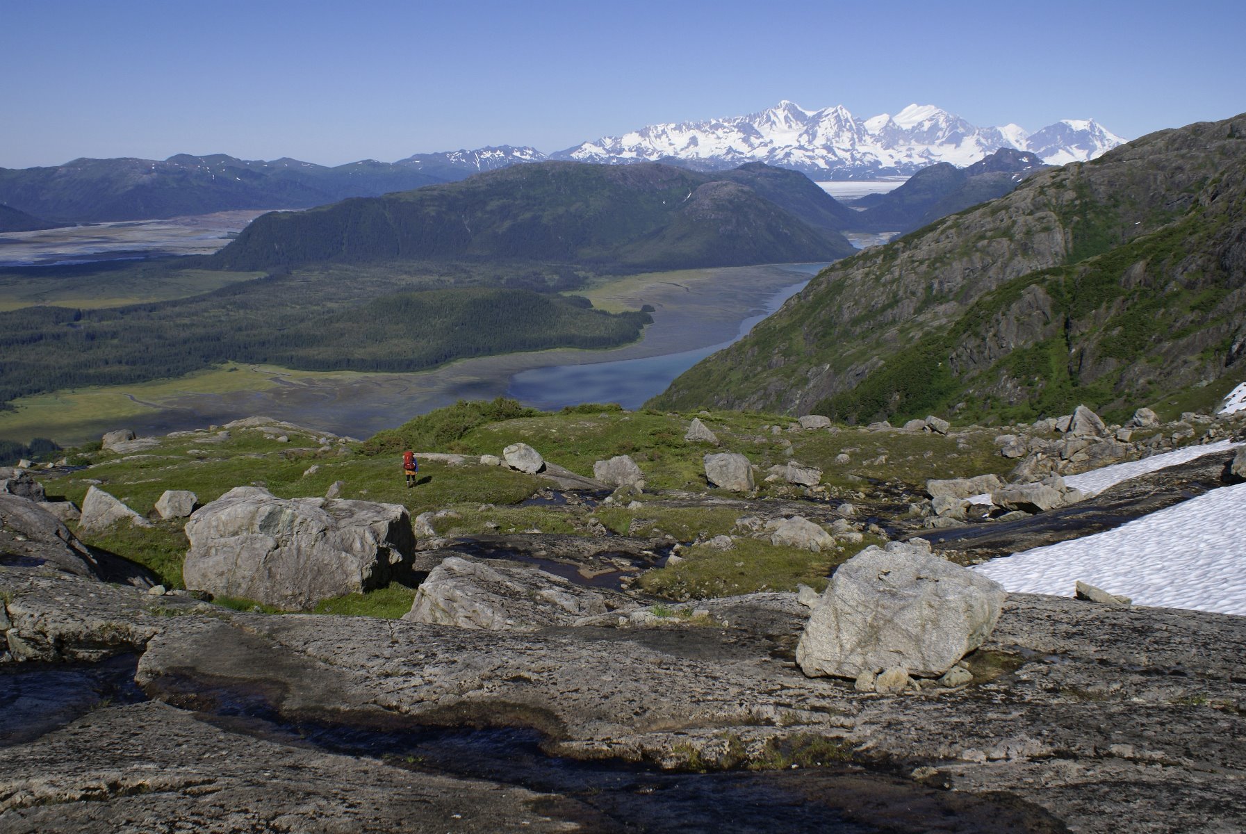
A little dot of a person dwarfed by a spectacular landscape
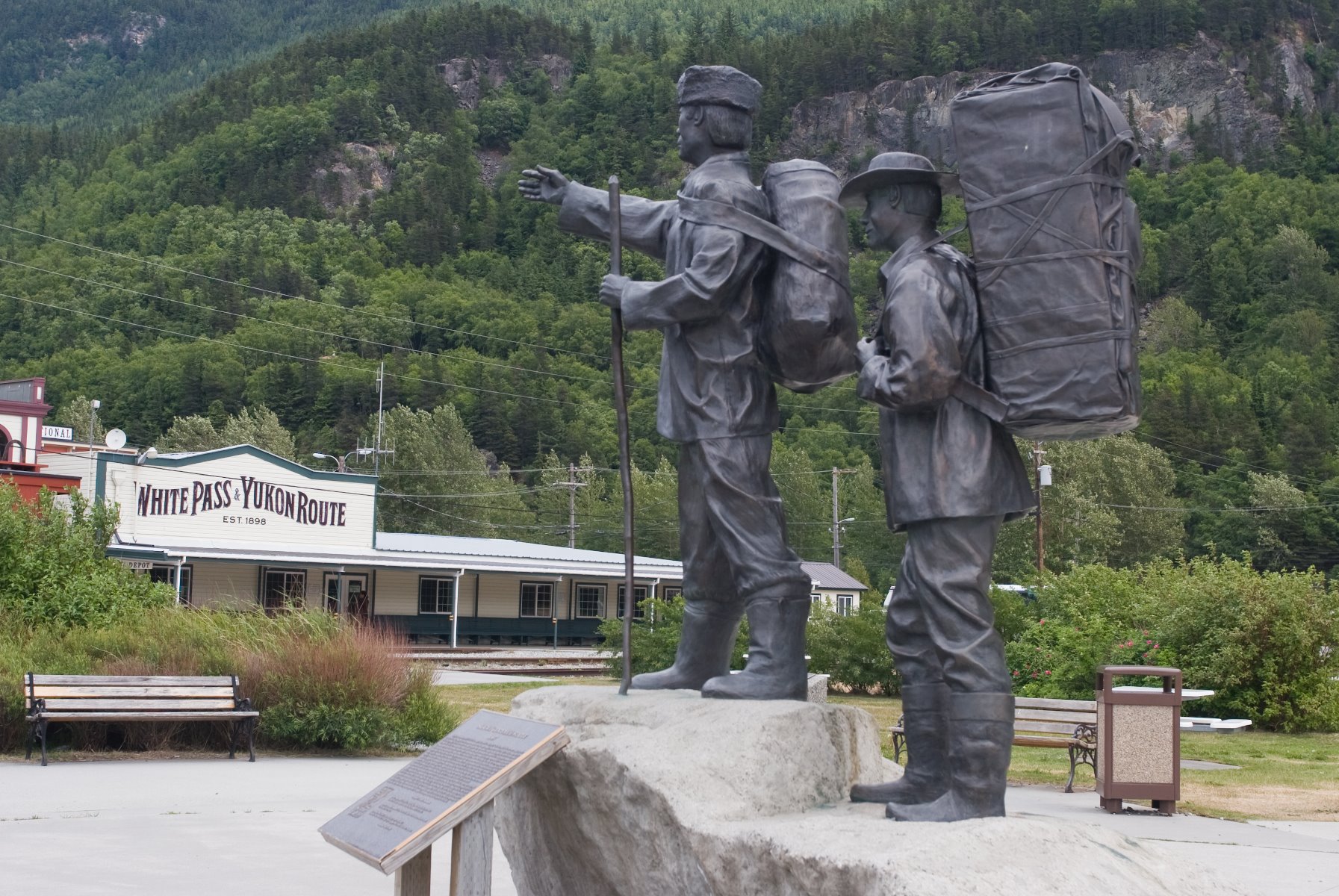
Monument erected for Skagway’s Centennial in 1897.
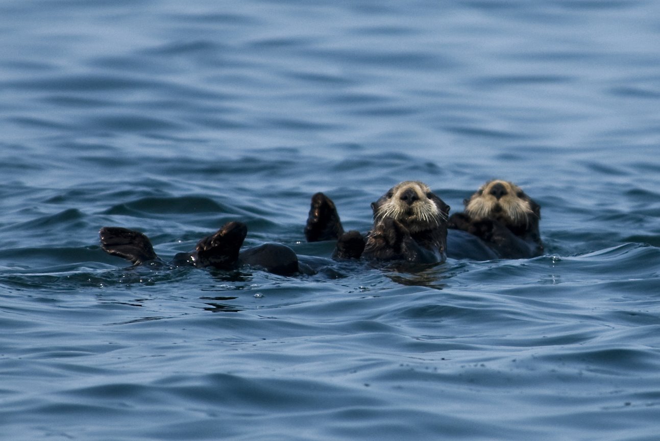
Sea otters riding the waves keeping a watchful eye.
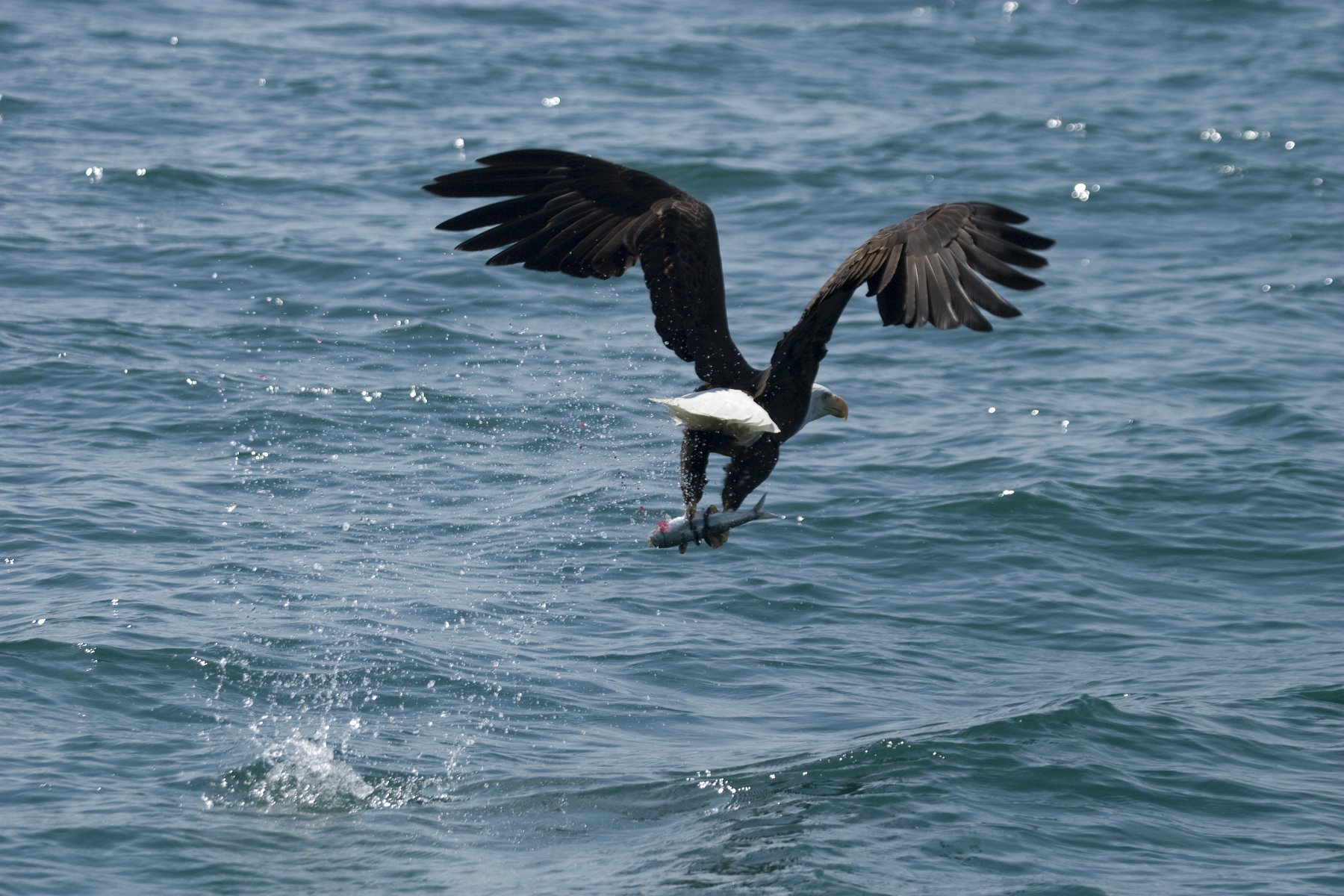
The ubiquitous Bald Eagle.
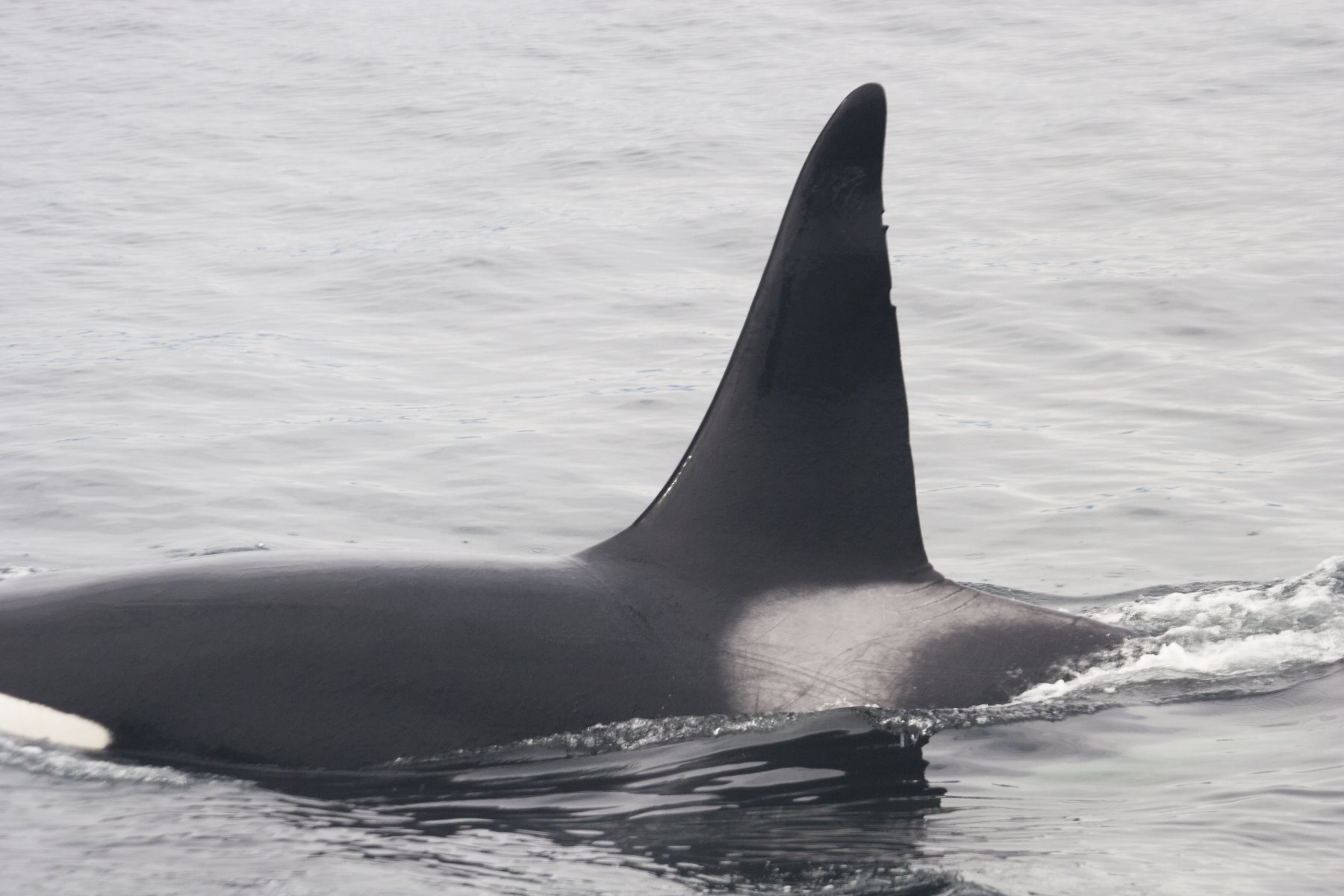
Orca whales frequently found in Glacier Bay.
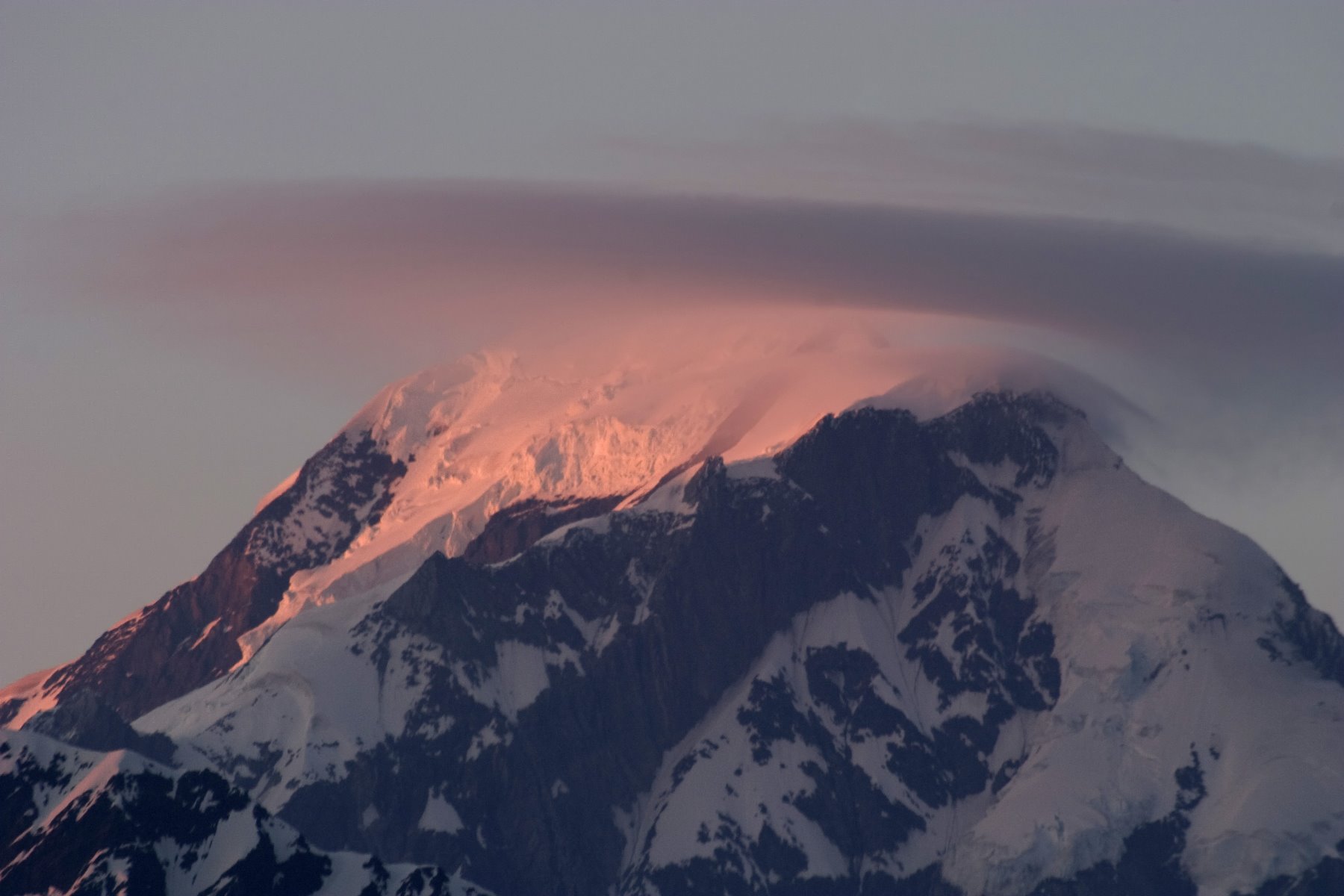
Fairweather Range is one of the tallest mountain ranges on the planet.
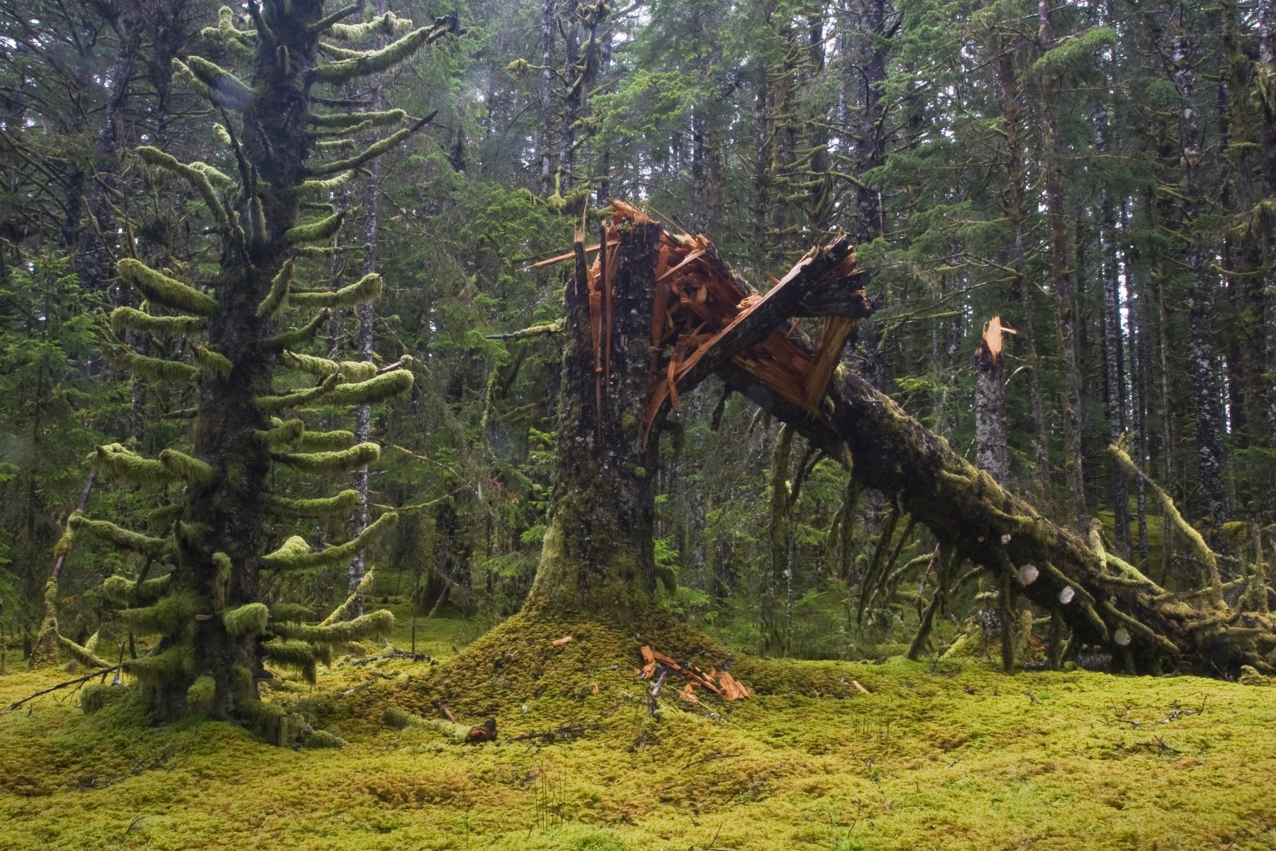
250 years ago, this land was under a massive sheet of ice.
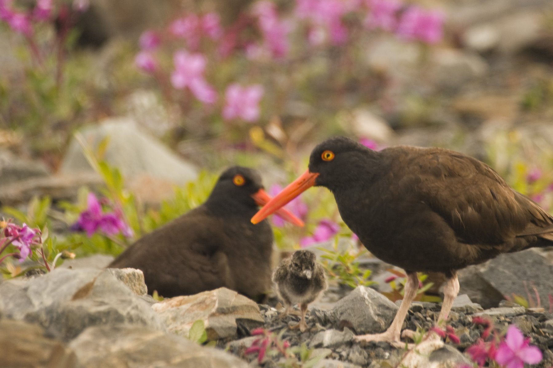
Oystercatchers nesting in Glacier Bay.
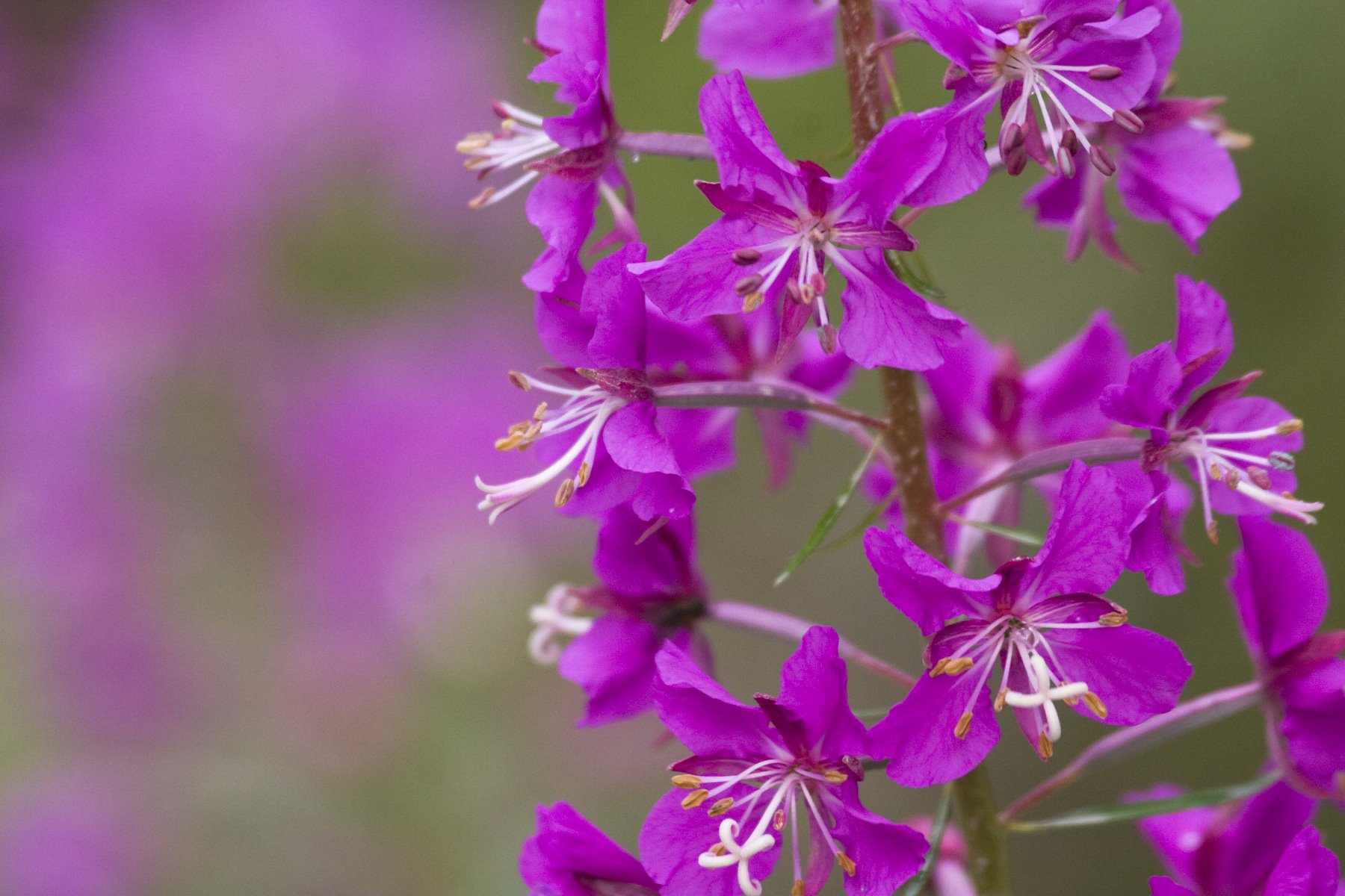
Giant fireweed in bloom
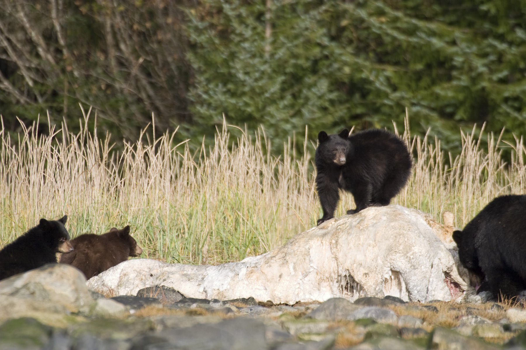
Bear standing on the remains of a dead humpback whale.

Great Blue Herons can be seen in many of Glacier Bay habitats.
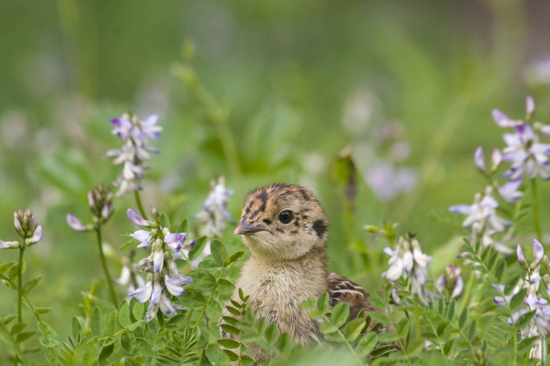
Blue Grouse can be seen all over the lower parts of Glacier Bay.
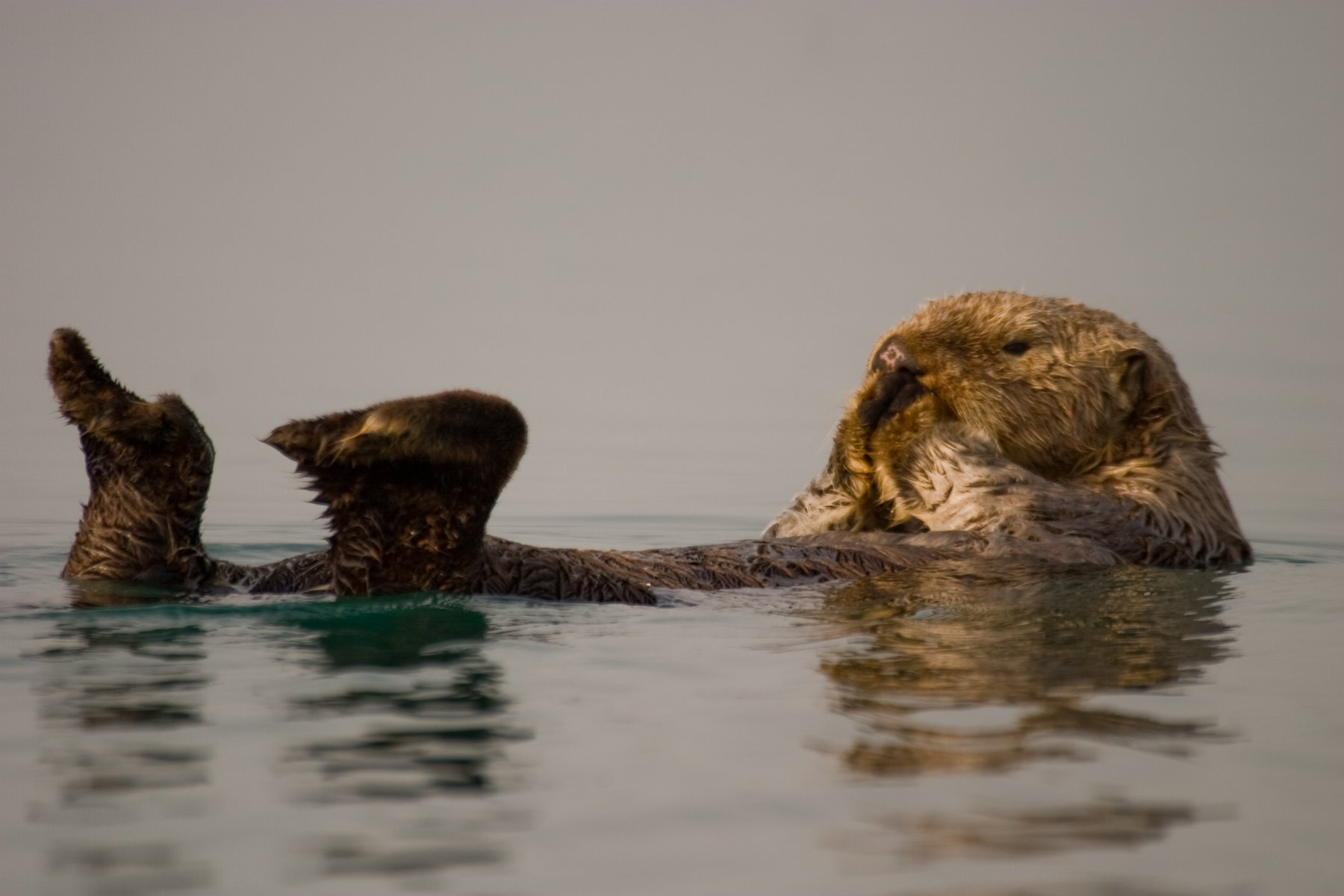
Sea otters are meticulous groomers.
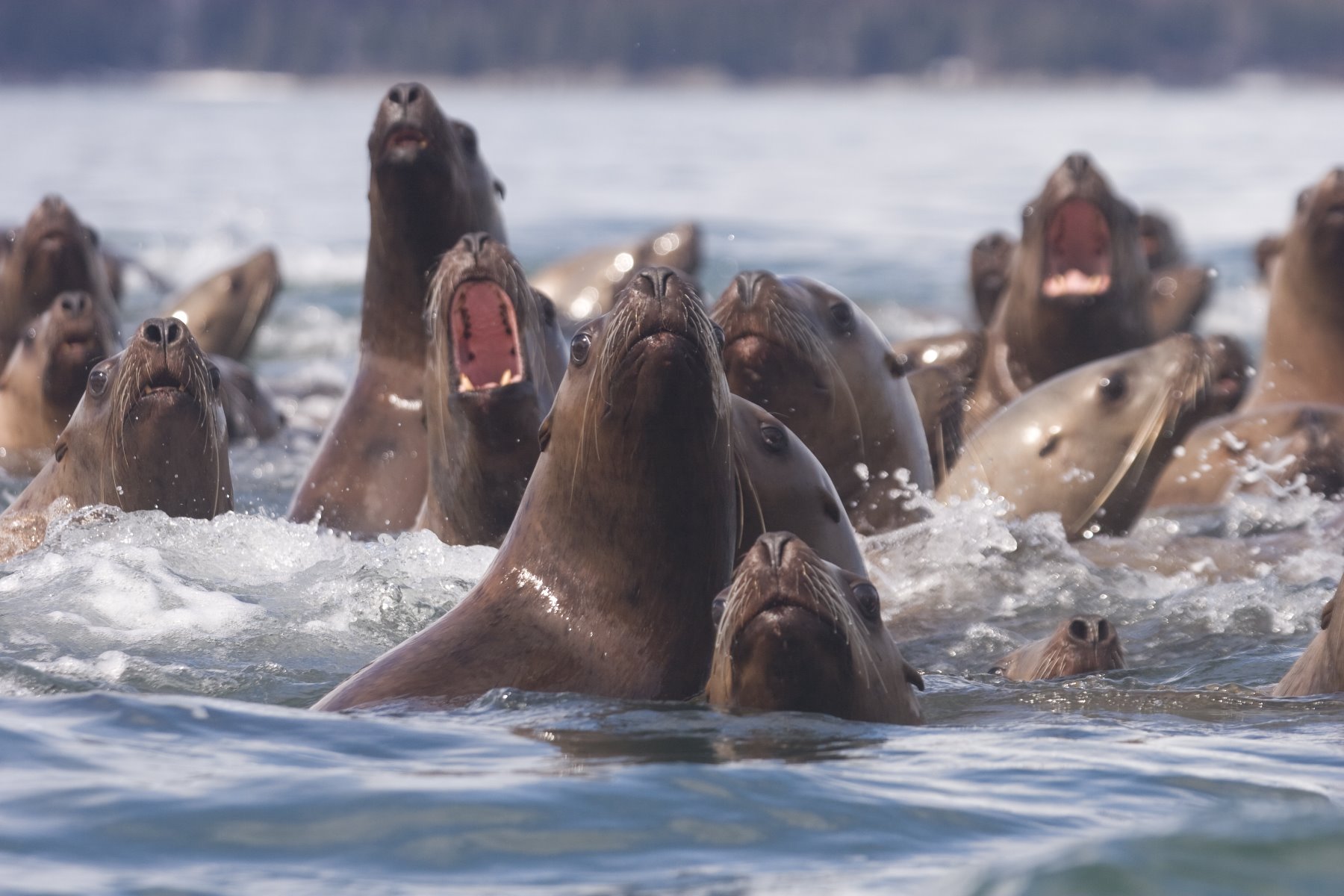
Steller sea lions.
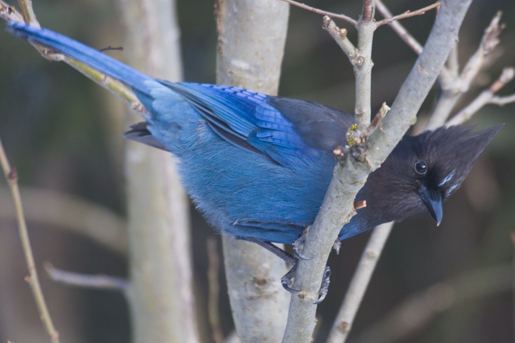
Vibrant blue Stellers Jay.
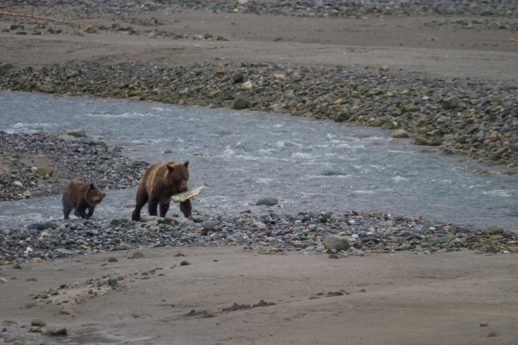
Brown bear and her cub having some success at fishing.
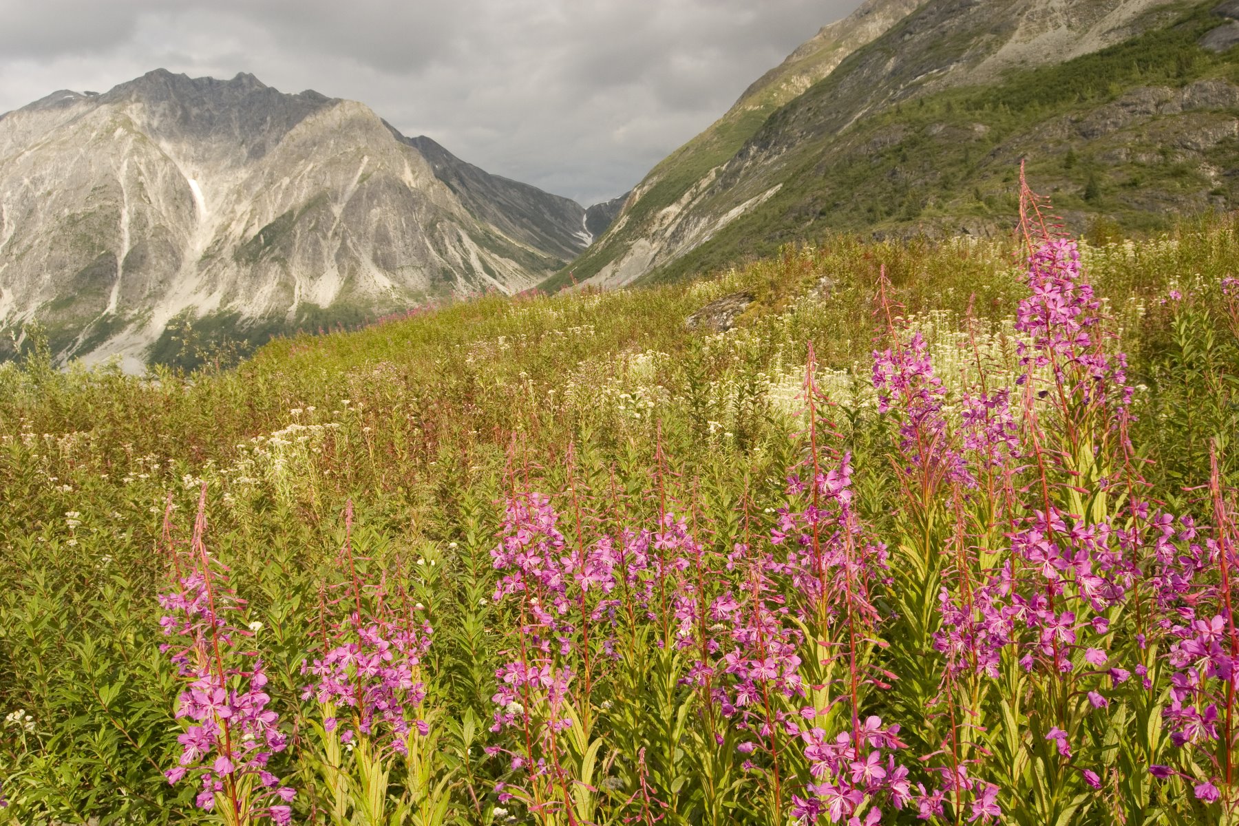
August wildflowers in Glacier Bay.
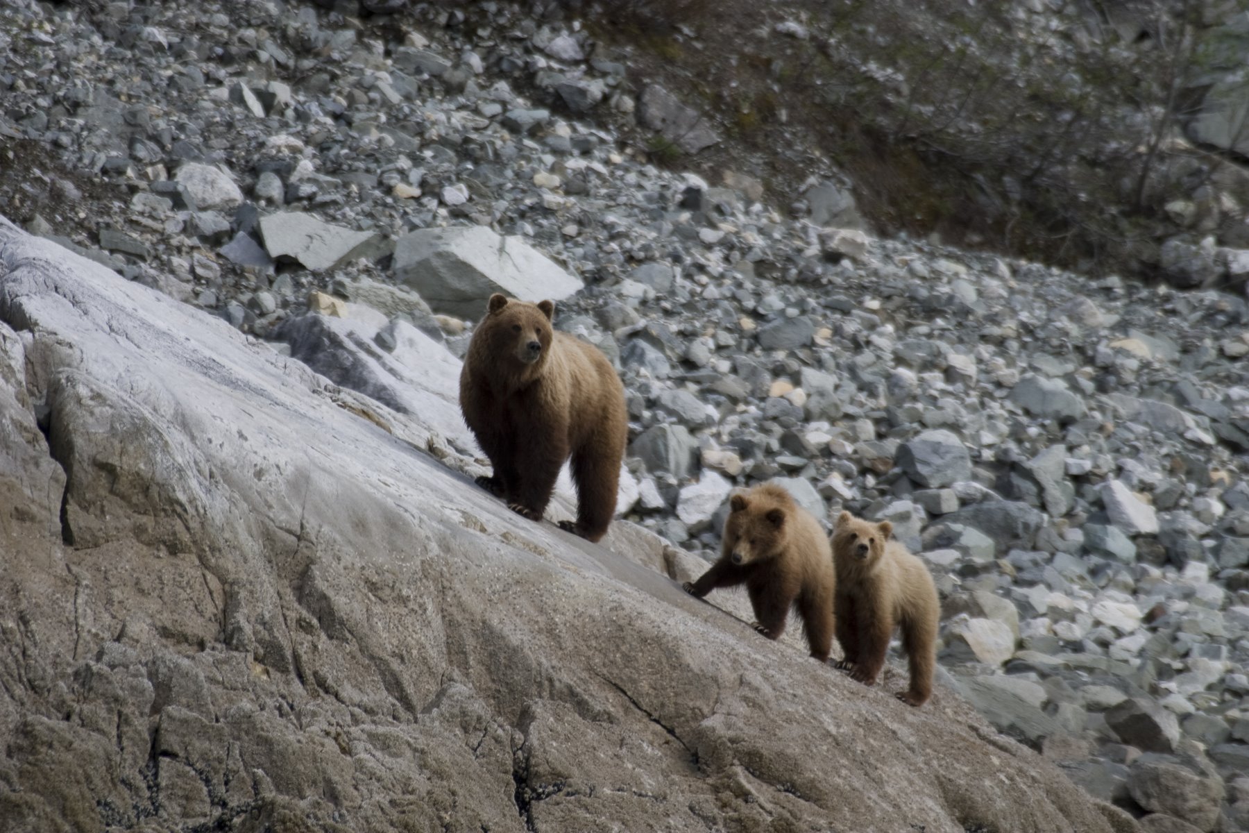
Brown bear and her two cubs near the rich intertidal zone.
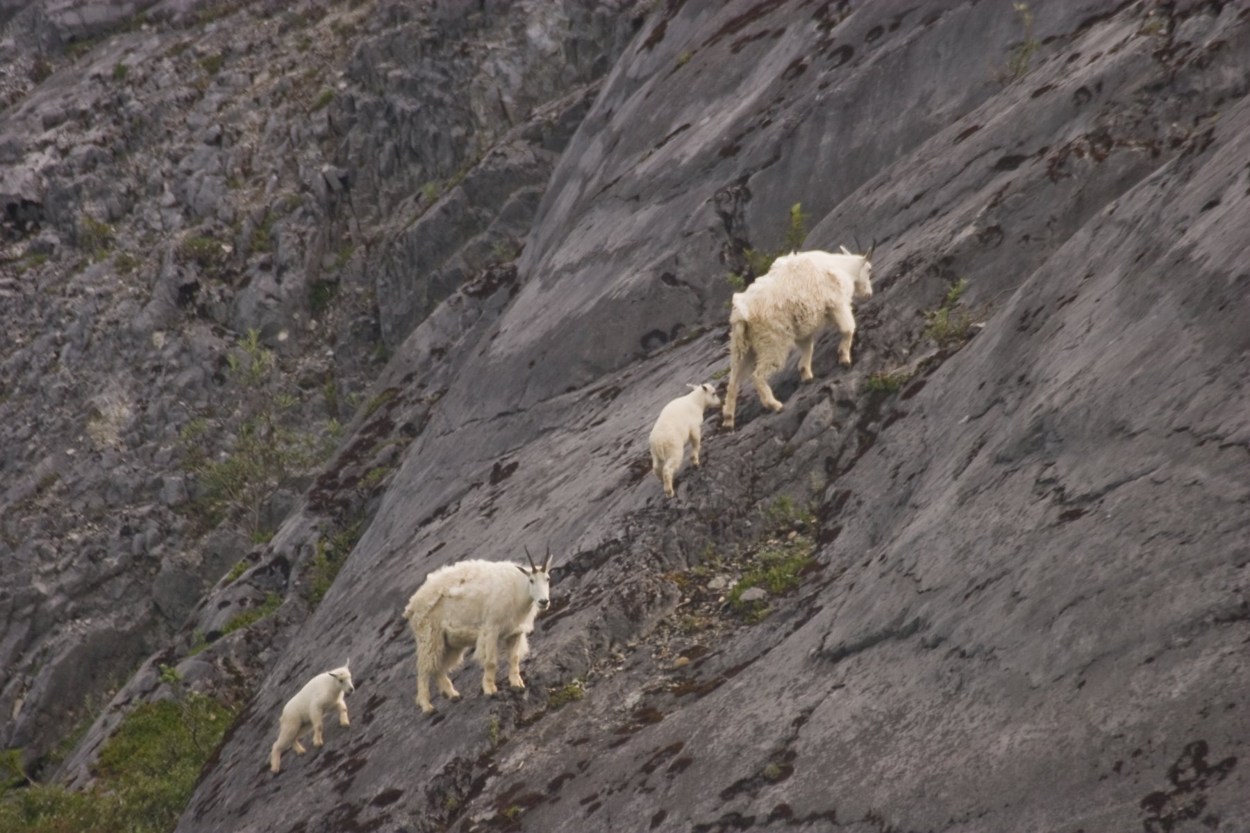
Mountain goats at Gloomy Knob.
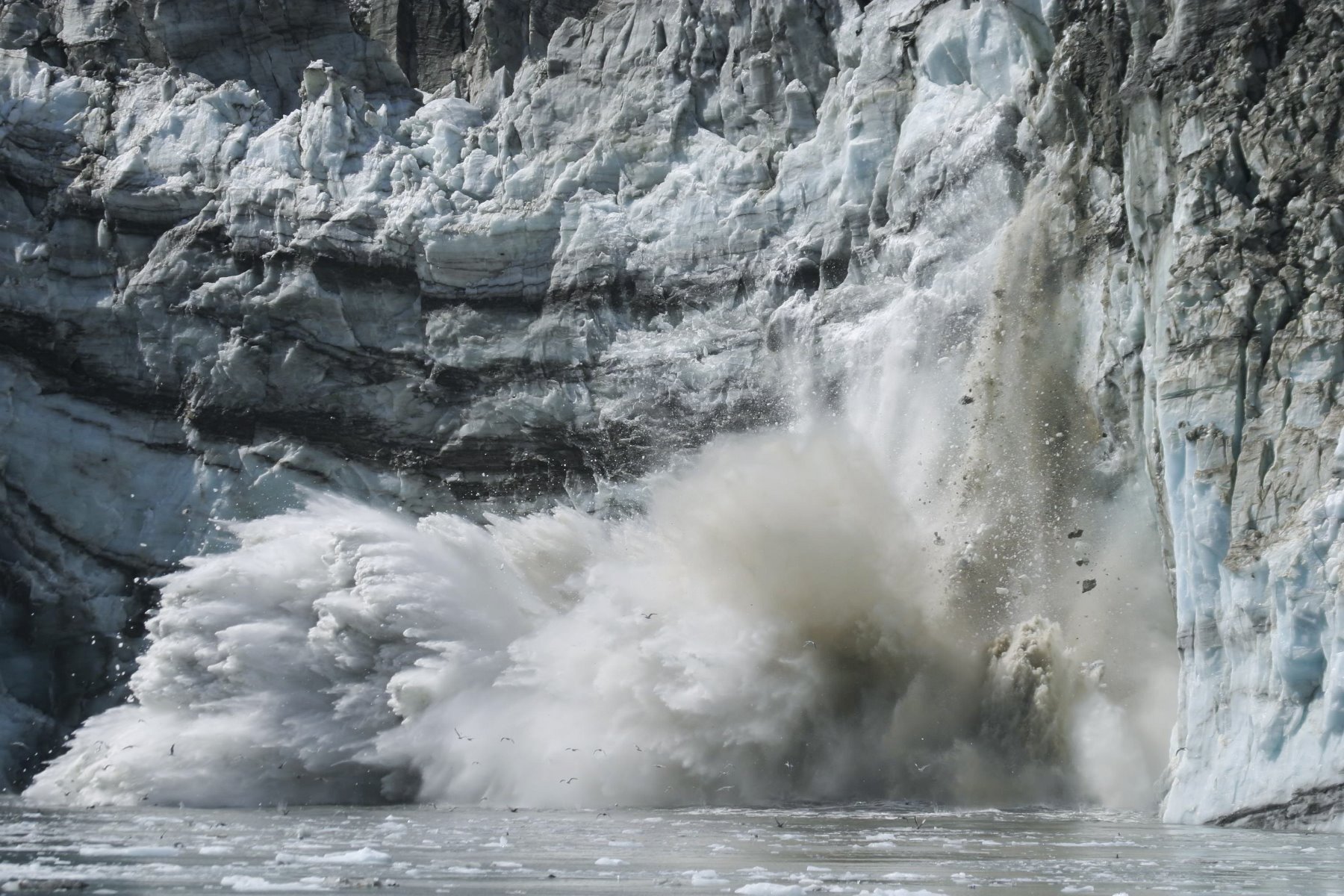
Enormous calving events are unpredictable.
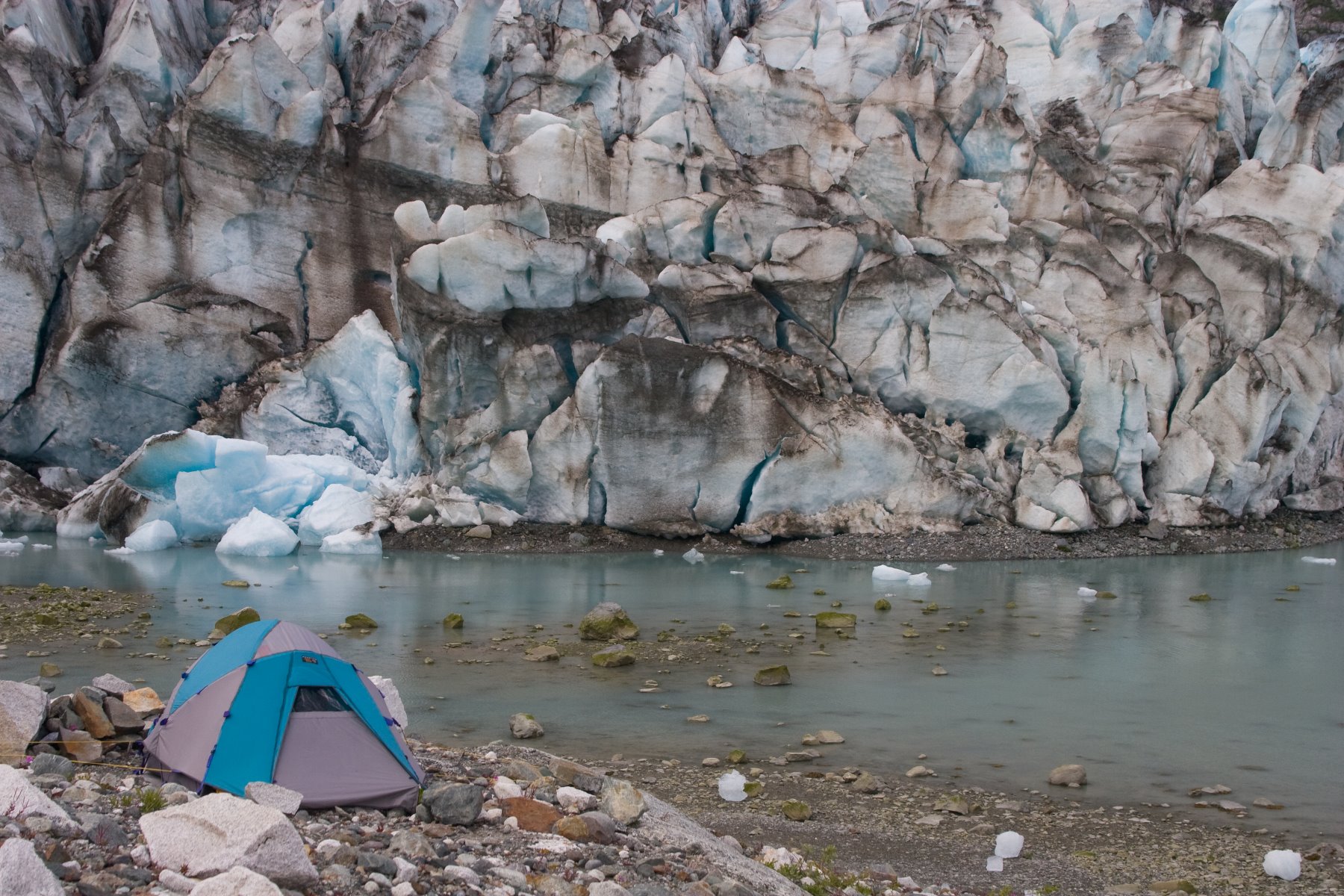
Camping next to a glacier with the cold wind coming off the glacier.

West ridge of Mt Fairweather on the descent from the summit.
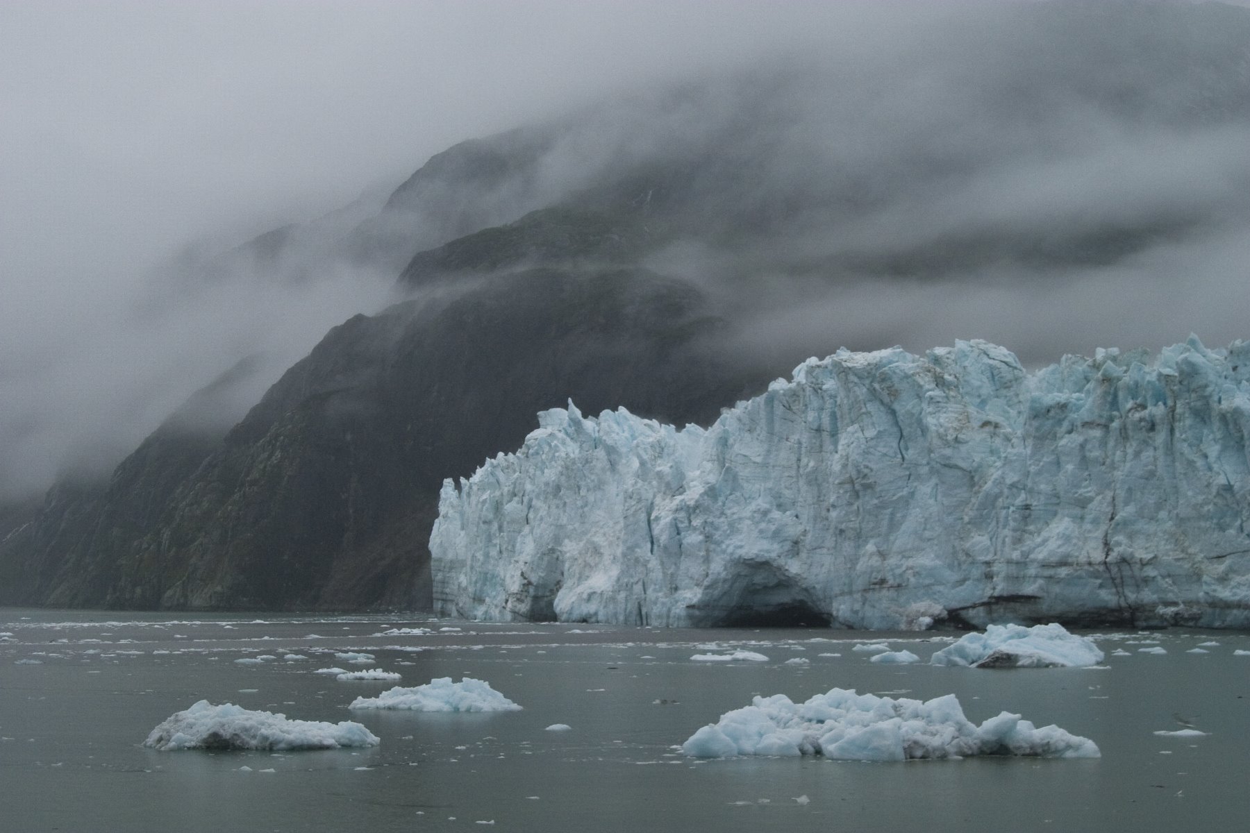
Glaciers shrouded in mist at Glacier Bay.
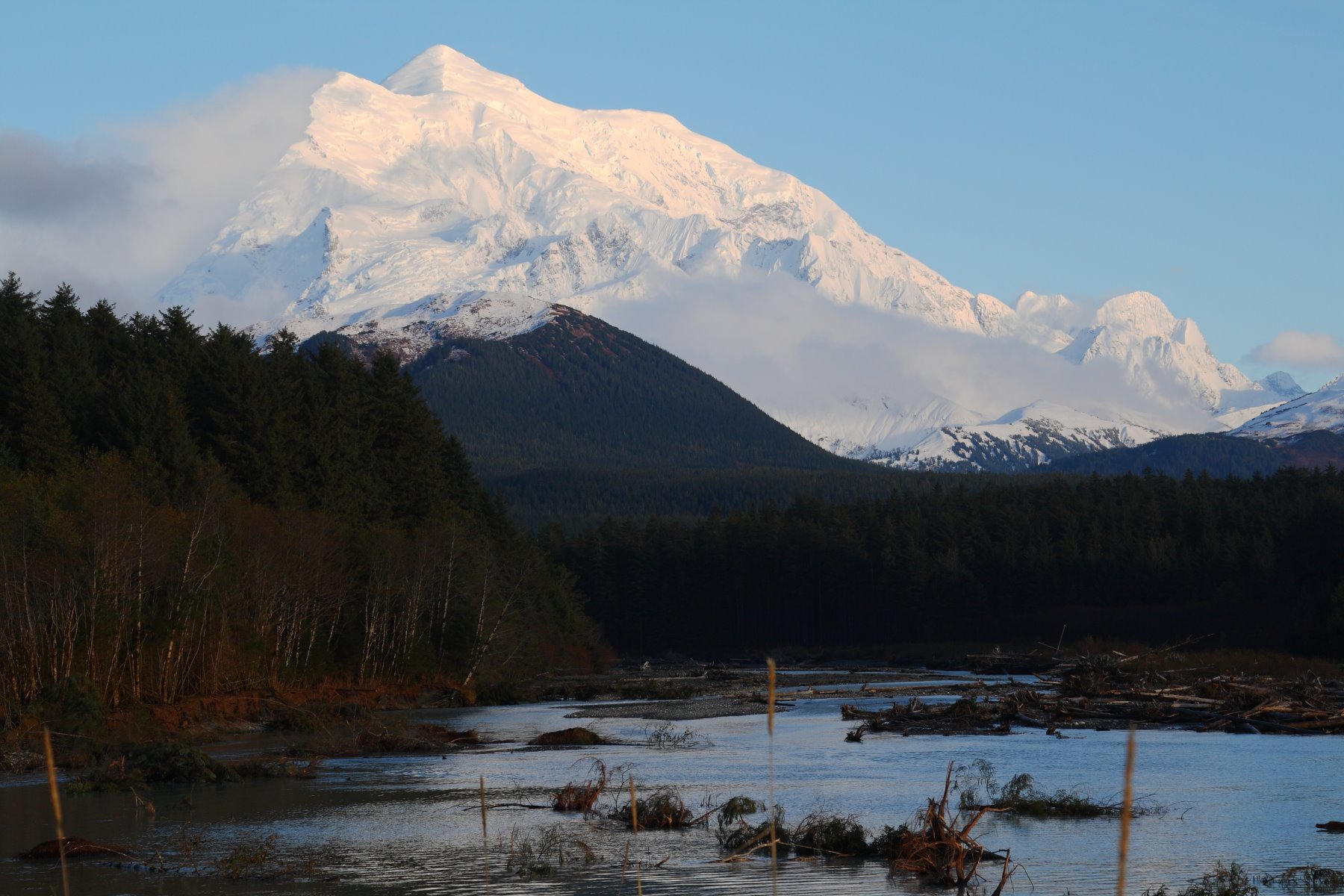
Fallen trees at the delta in front of Mt Fairweather.

Uncommon yellow cedar in Glacier Bay.
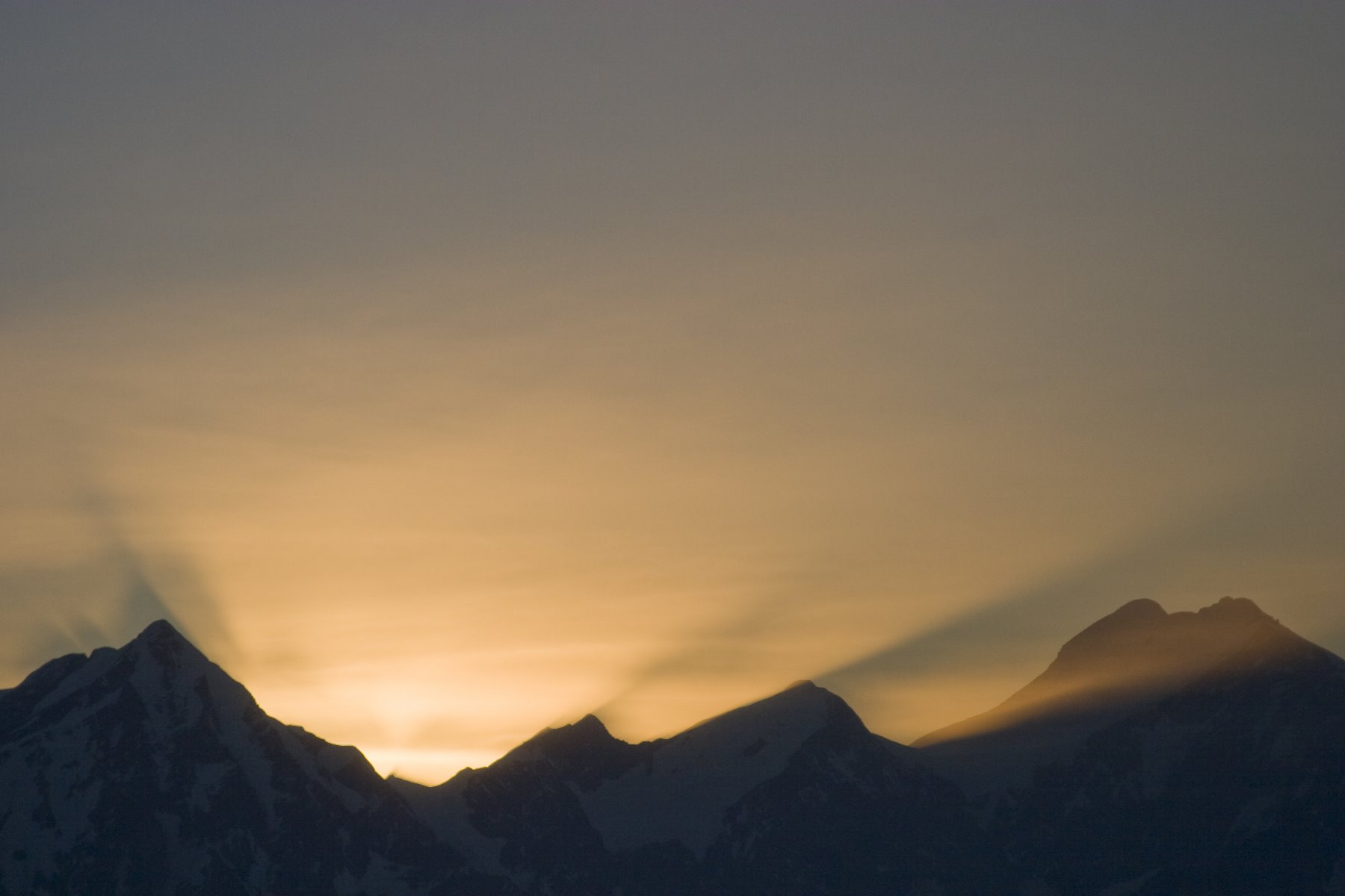
Evening sun near Brady Glacier.
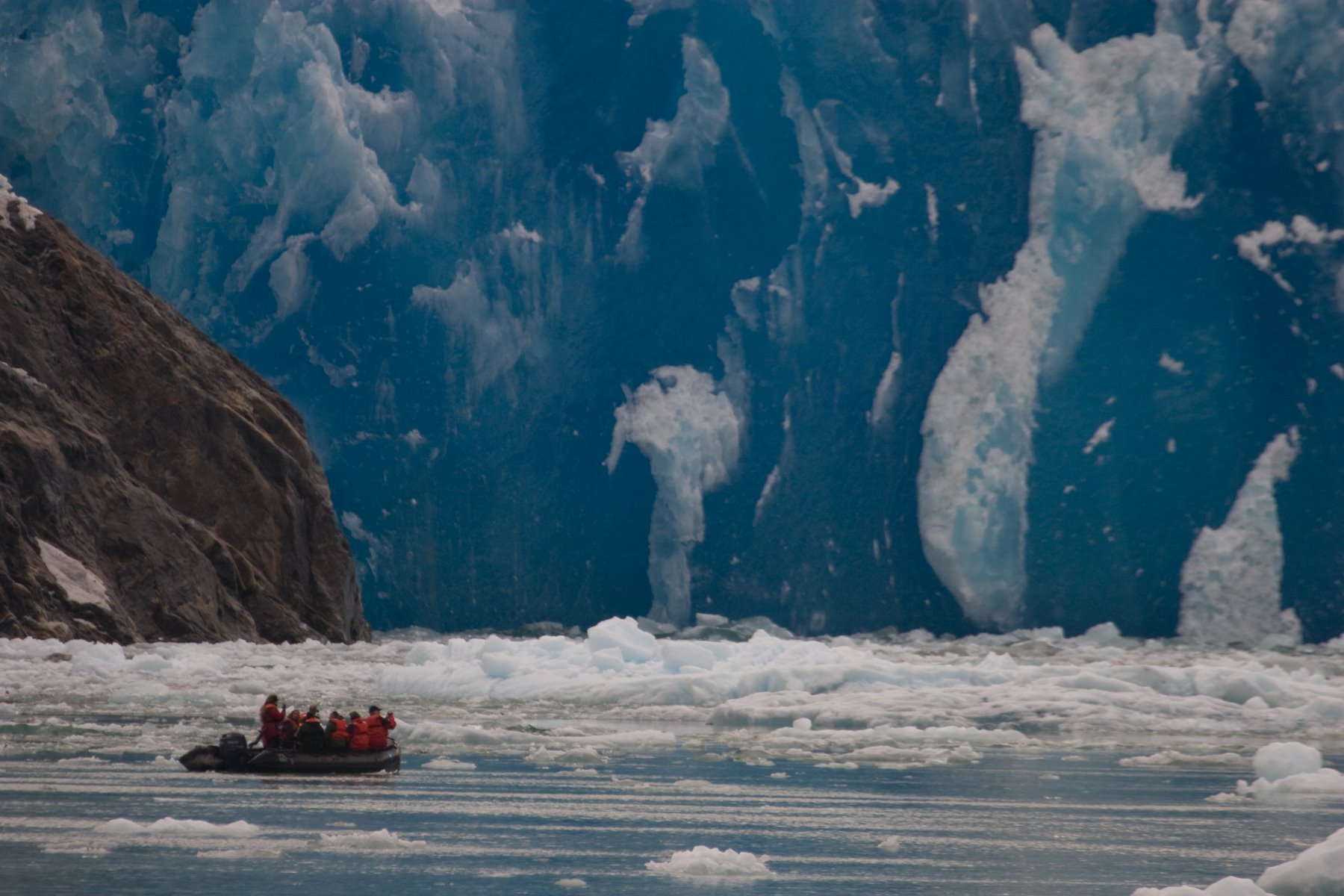
South Sawyer Glacier in Tracy Arm is under intense pressure.
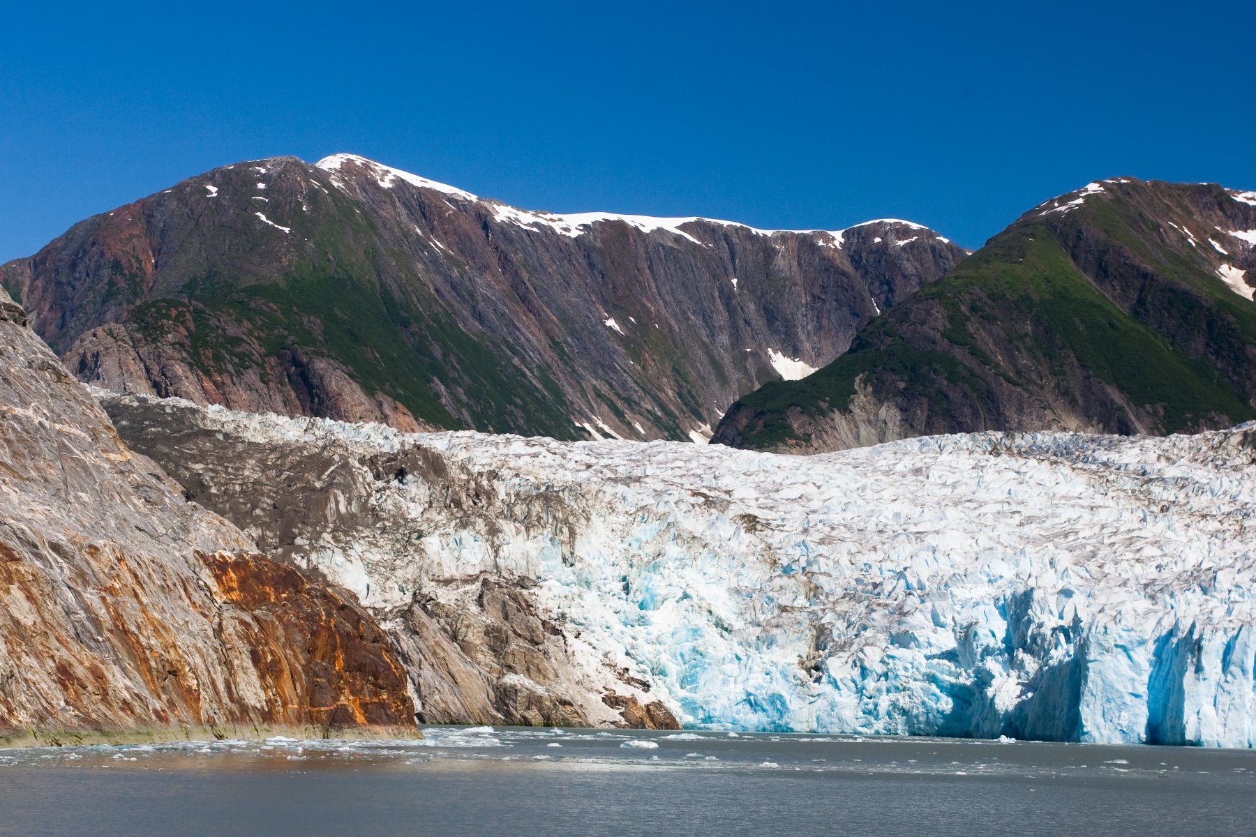
Tracy Arm Glacier – the rusty red is oxidized iron.
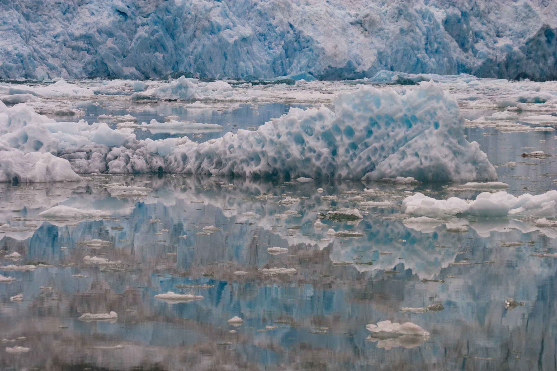
The quick moving South Sawyer Glacier.
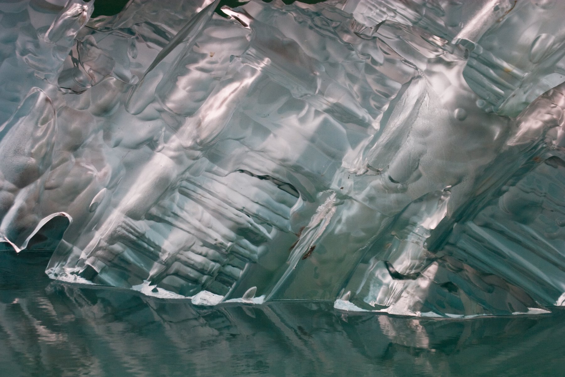
Striated ice in Tracy Arm.
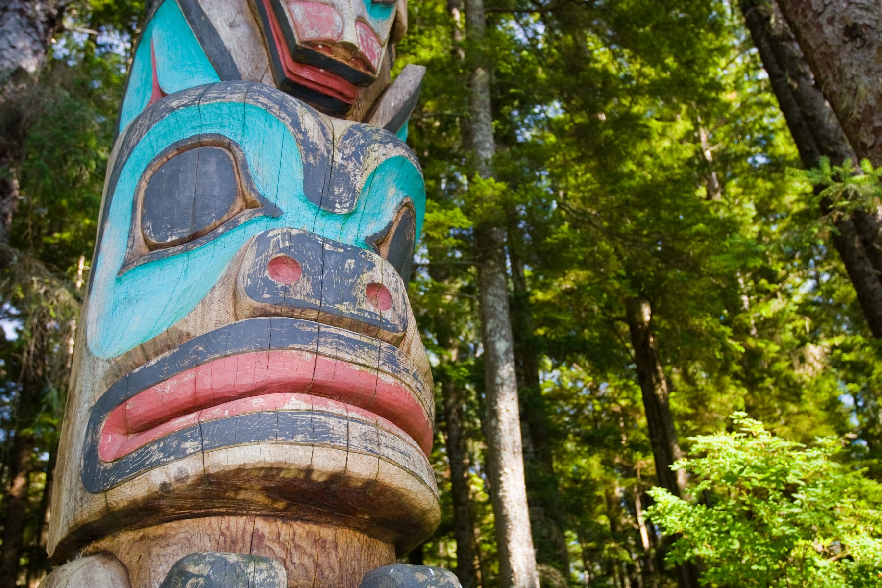
Sitka National Historic Park is Alaska’s oldest federally designation park – since 1910.
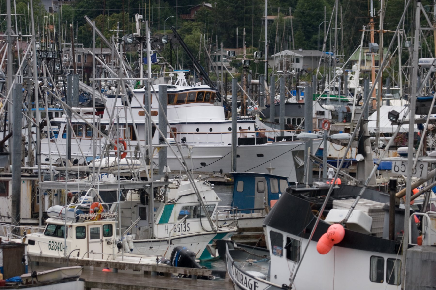
Sitka is a very busy fishing harbour.
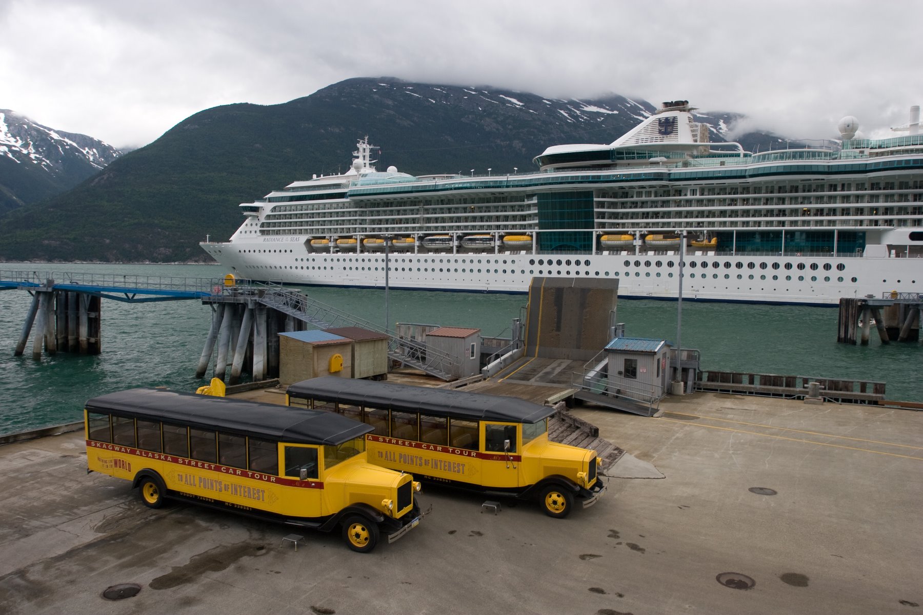
Antique trolley cars in Skagway.
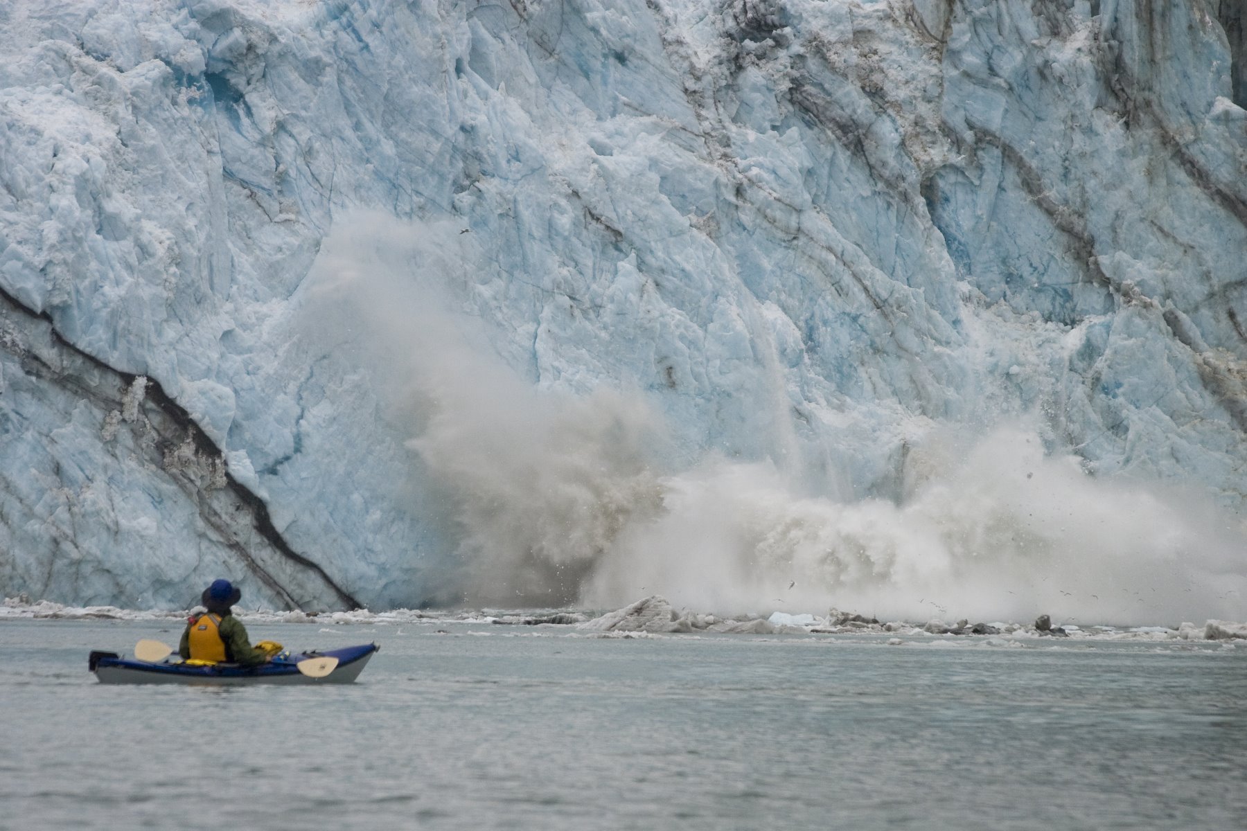
The U.S. Coast Guard recommends that all vessels remain one quarter mile off the face of tidewater glaciers.
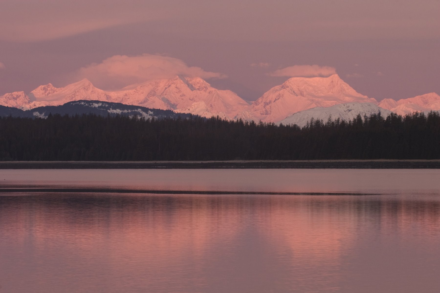
Glacier Bay sunrise around 9 o’clock.
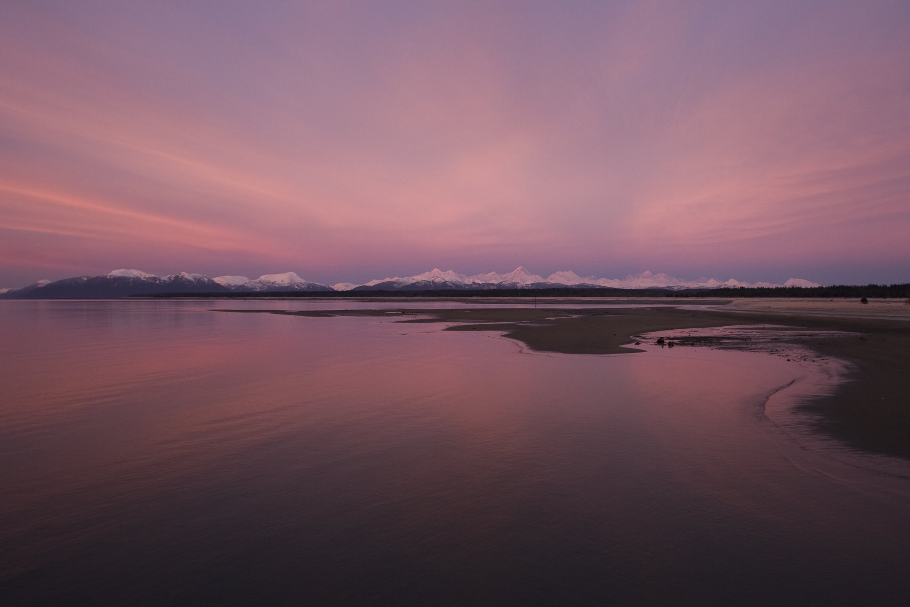
Sunise over the Fairweather Range.
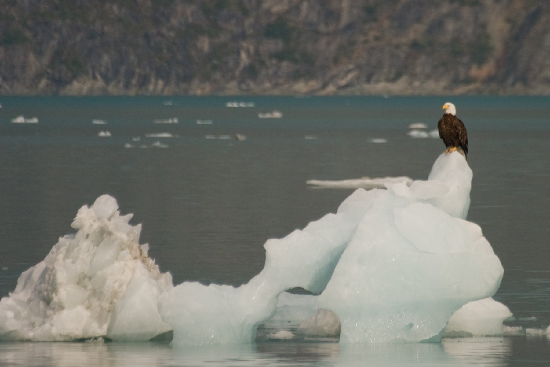
Eagles on icebergs are not uncommon in Glacier Bay.
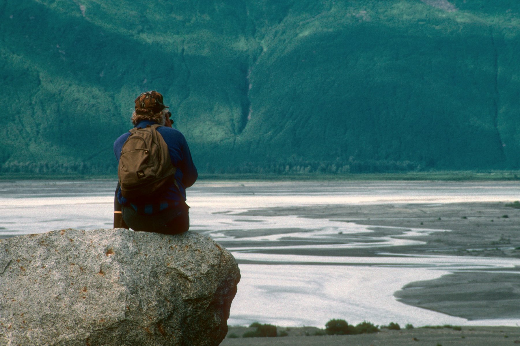
The Alsek braided river.
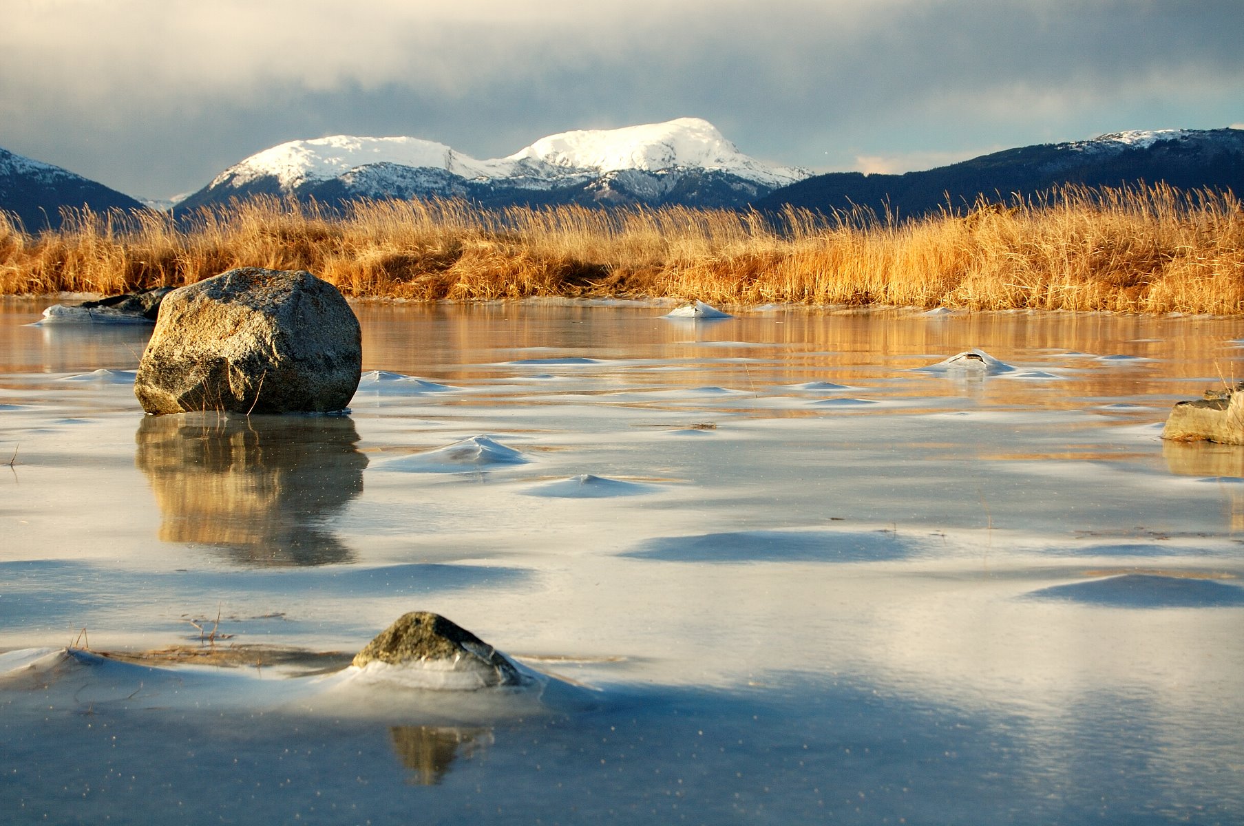
Ten below near Halibut Point.

Walking trail at Bartlett Cove campground.

Glacier crevice.

Much of the terrain is too rocky or risky for hiking.
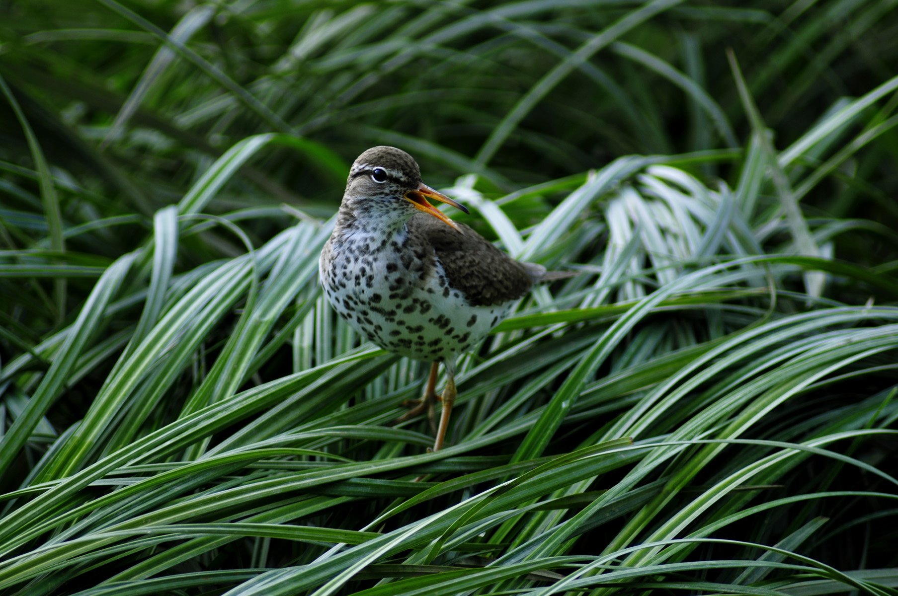
Spotted Sandpiper at the Bartlett River.

Gumbook Chitton – a species of red algae that lives on its mantle (shell).
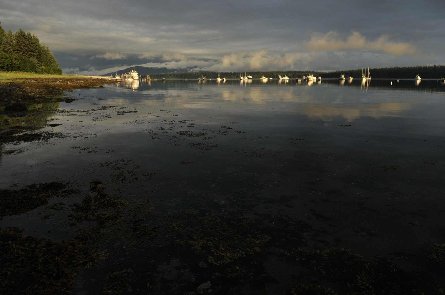
Glacier bay receives approx 80″ of rain a year… a brief reprieve.
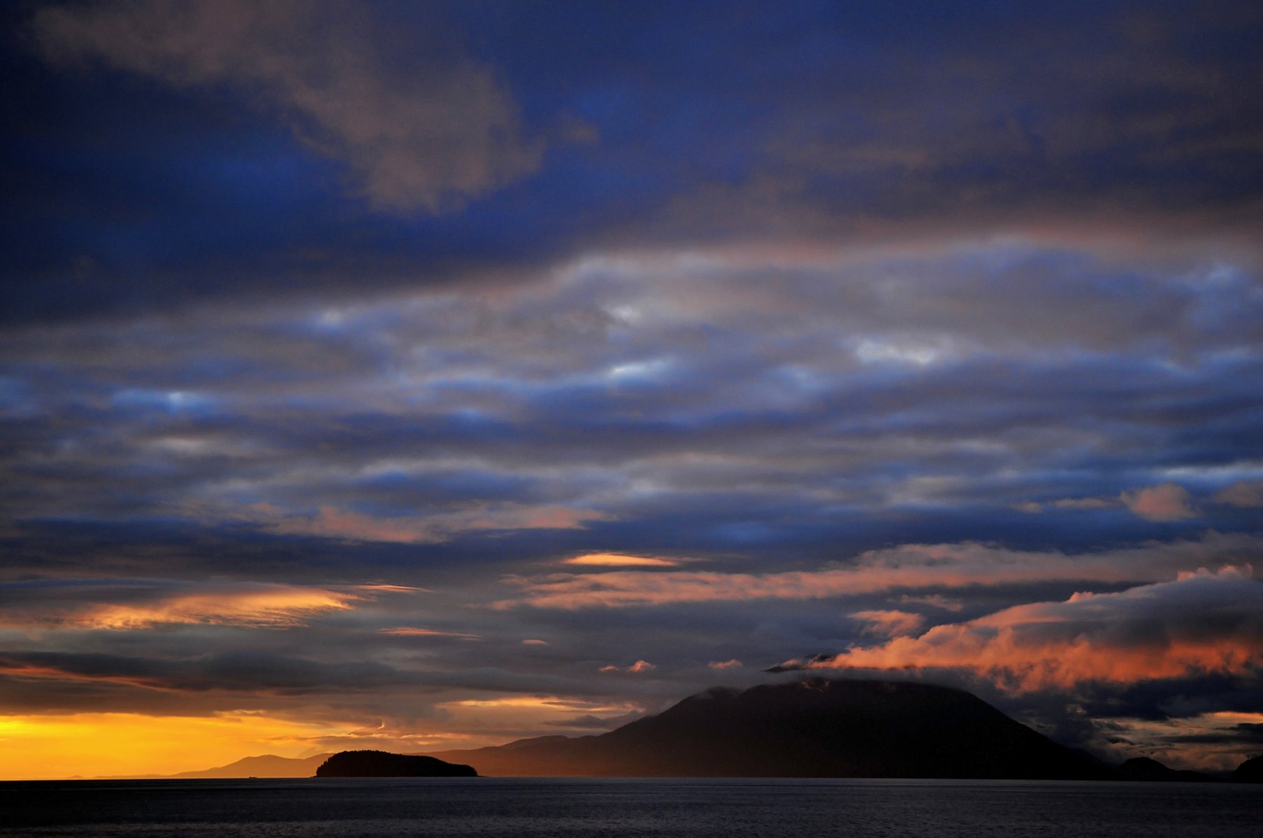
Sunsets over the bitter winds of the sea.
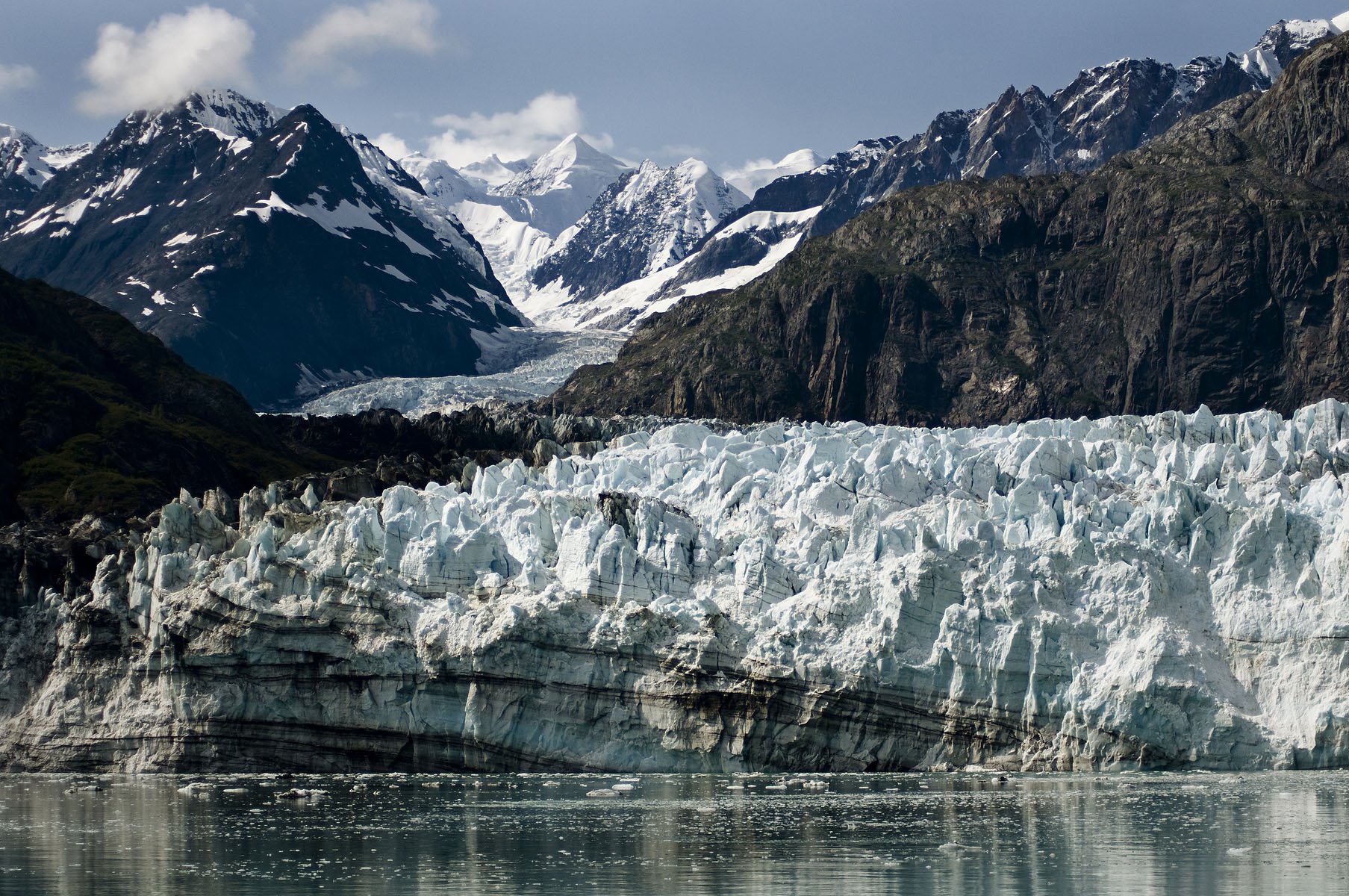
Margerie Glacier leads off to Mt Fairweather.
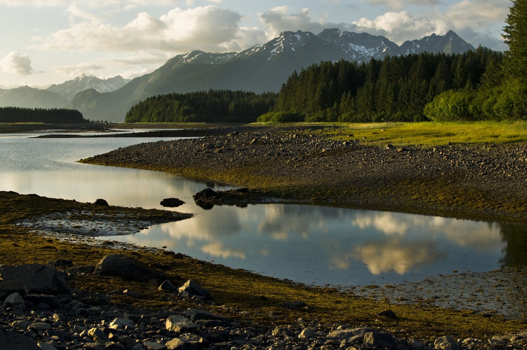
Reflections in glacial lakes.
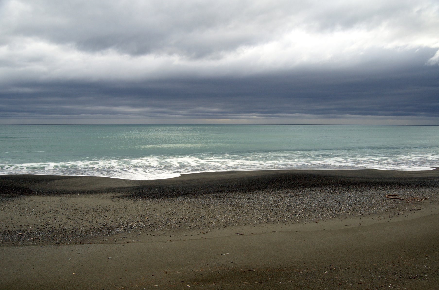
Southeast Alaska is a pallet of grays.
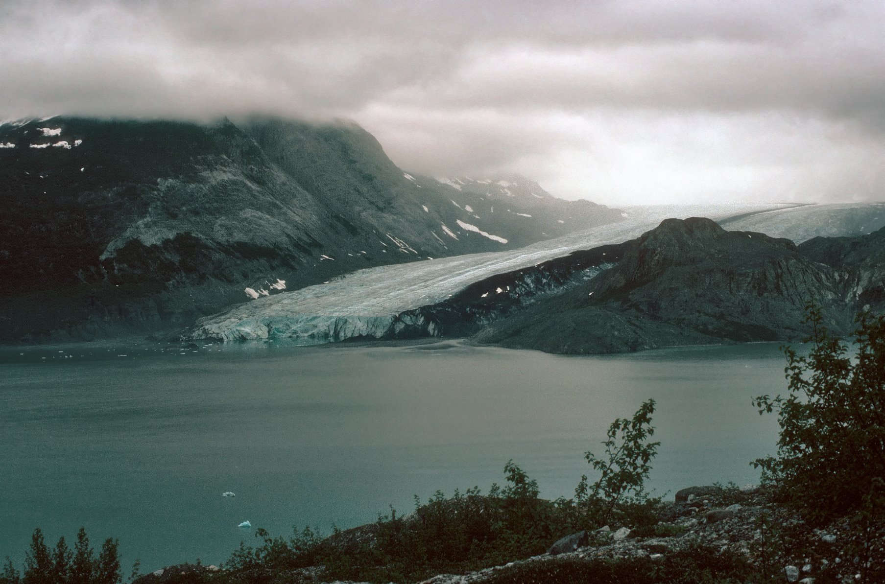
McBride Glacier, July 1976.

Taylor Bay and the Brady Icefield.
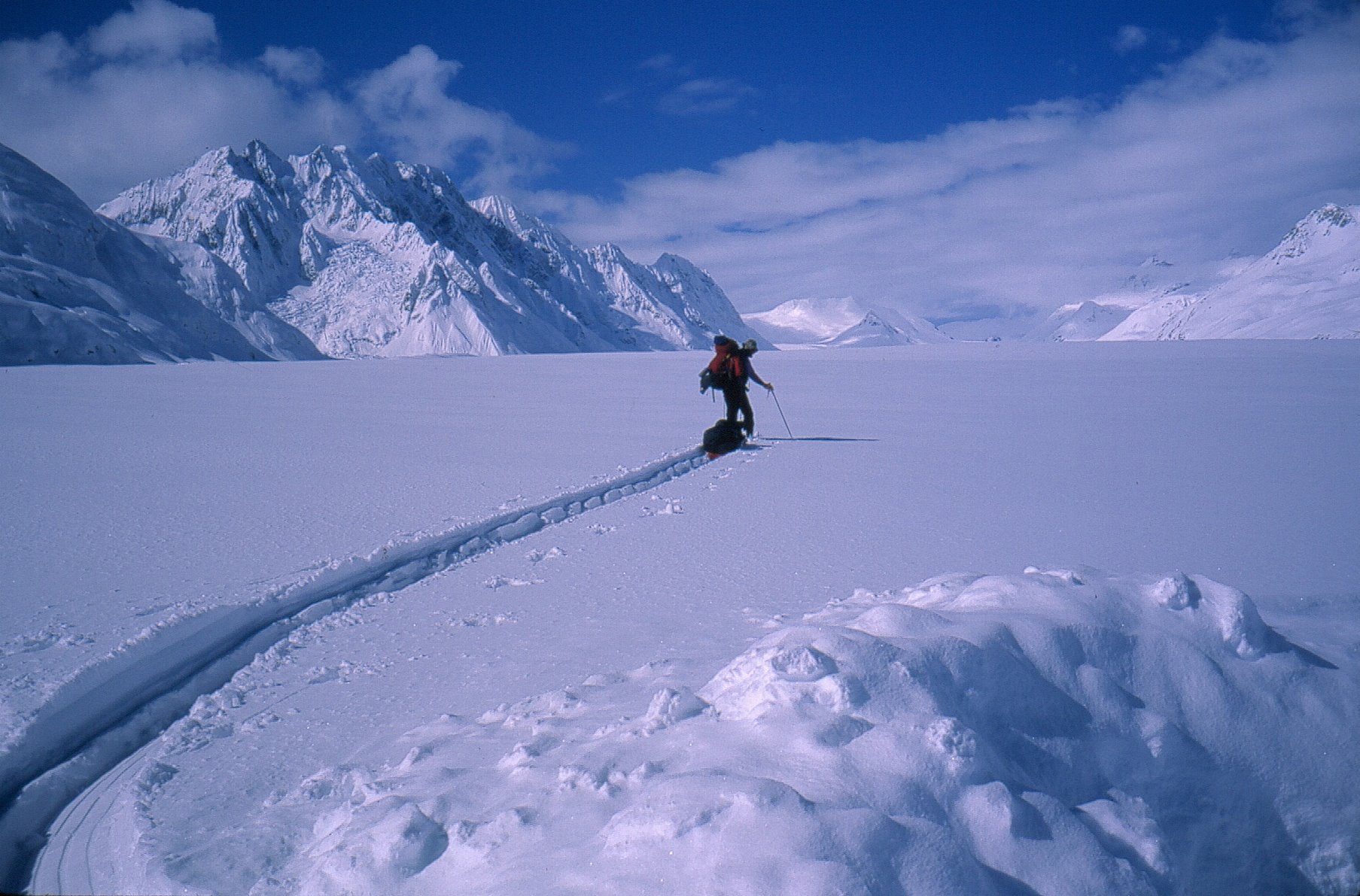
The broad Grand Pacific Glacier.
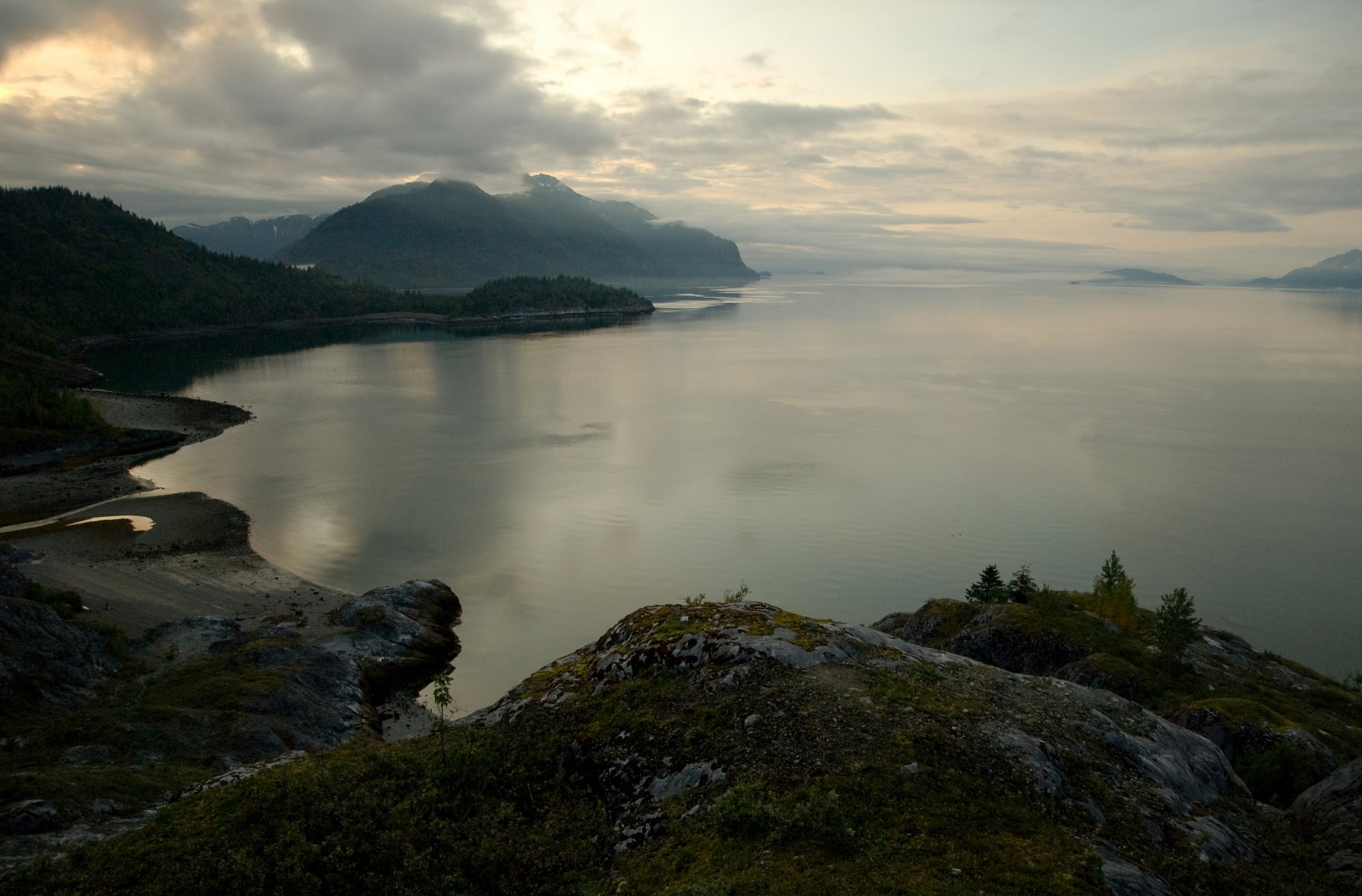
Gloomy Knob, Glacier Bay.
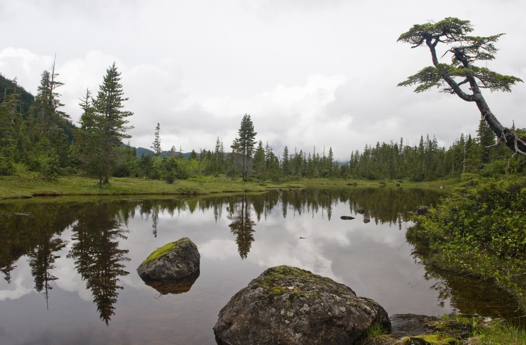
Glacier Bay high country.
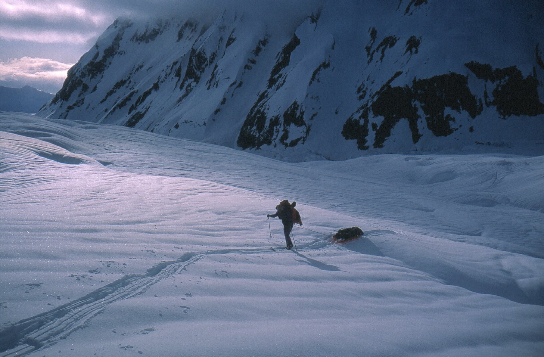
Skiing on the Grand Plateau Glacier, Mt Fairweather.
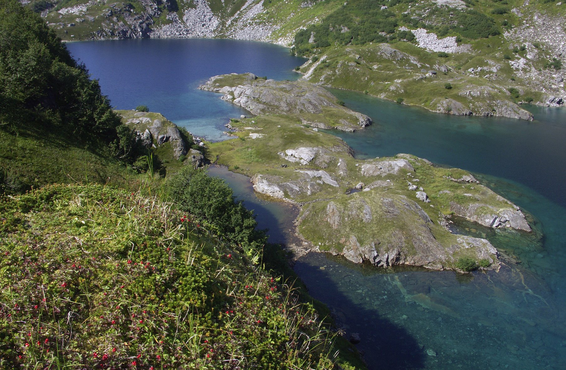
Startled bears.
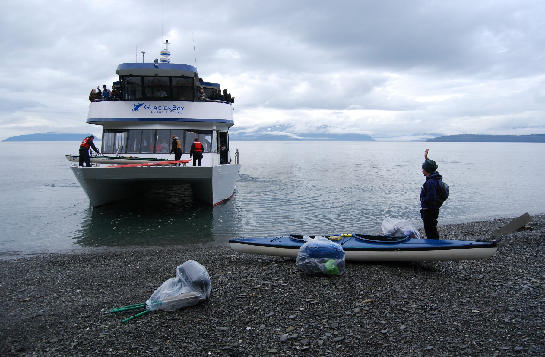
Kayakers leaving from West Arm of Glacier Bay.
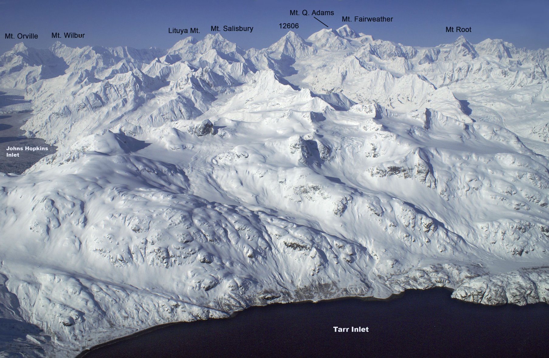
Many peaks of Glacier Bay are unnamed or informally named due to an early decree of park superintendents.
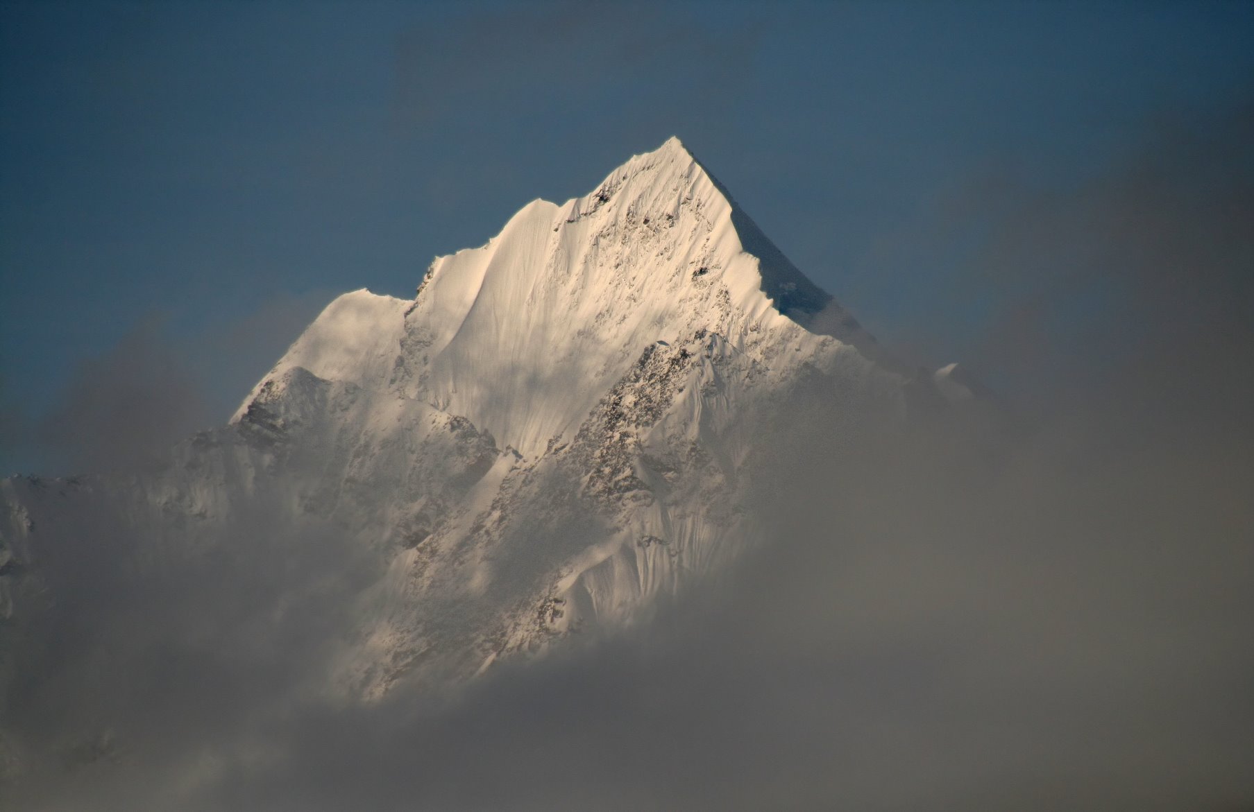
Jagged peaks in the morning mist.
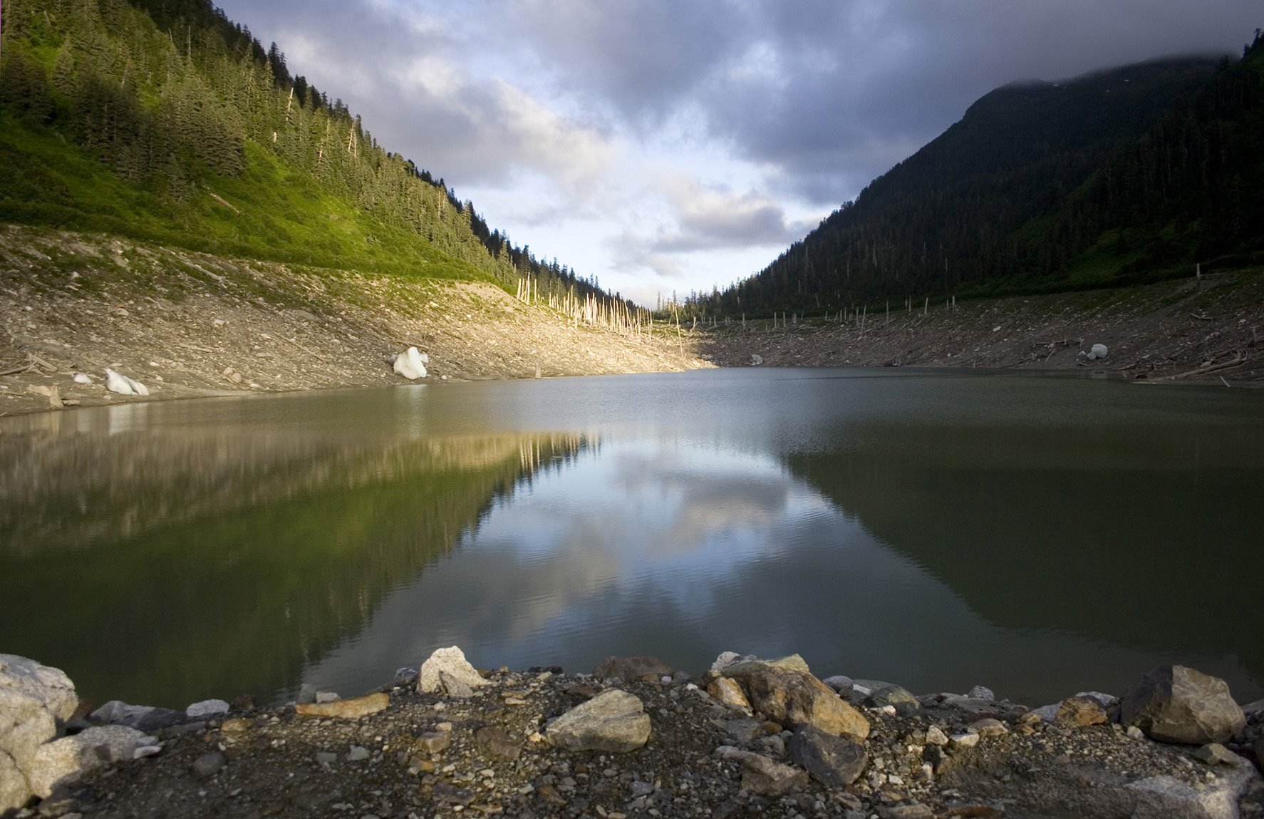
Low moraines that separates glacial lakes.
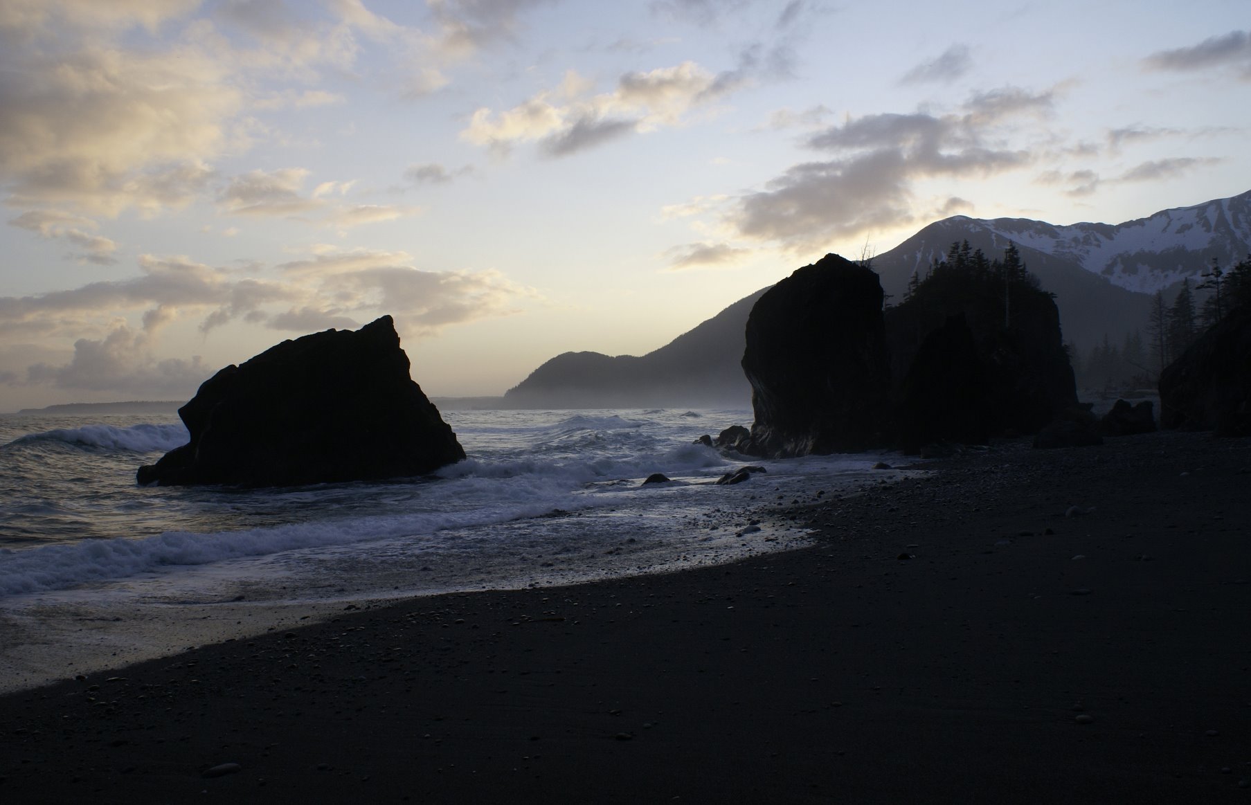
Outer coast of Glacier Bay National Park
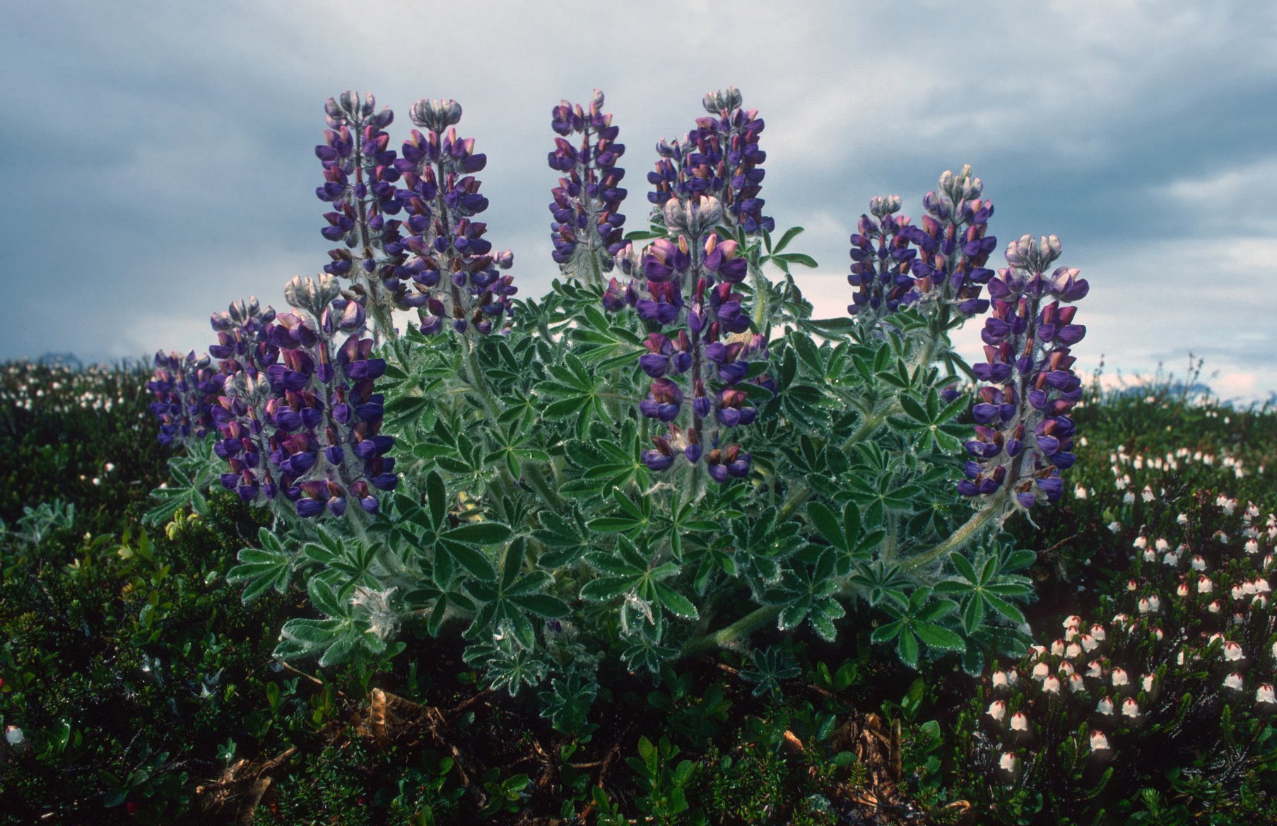
Lupine plants near the summit of Tree Mountain.

Orca whales – the largest member of the dolphin family.

Lakes near Brady Glacier.
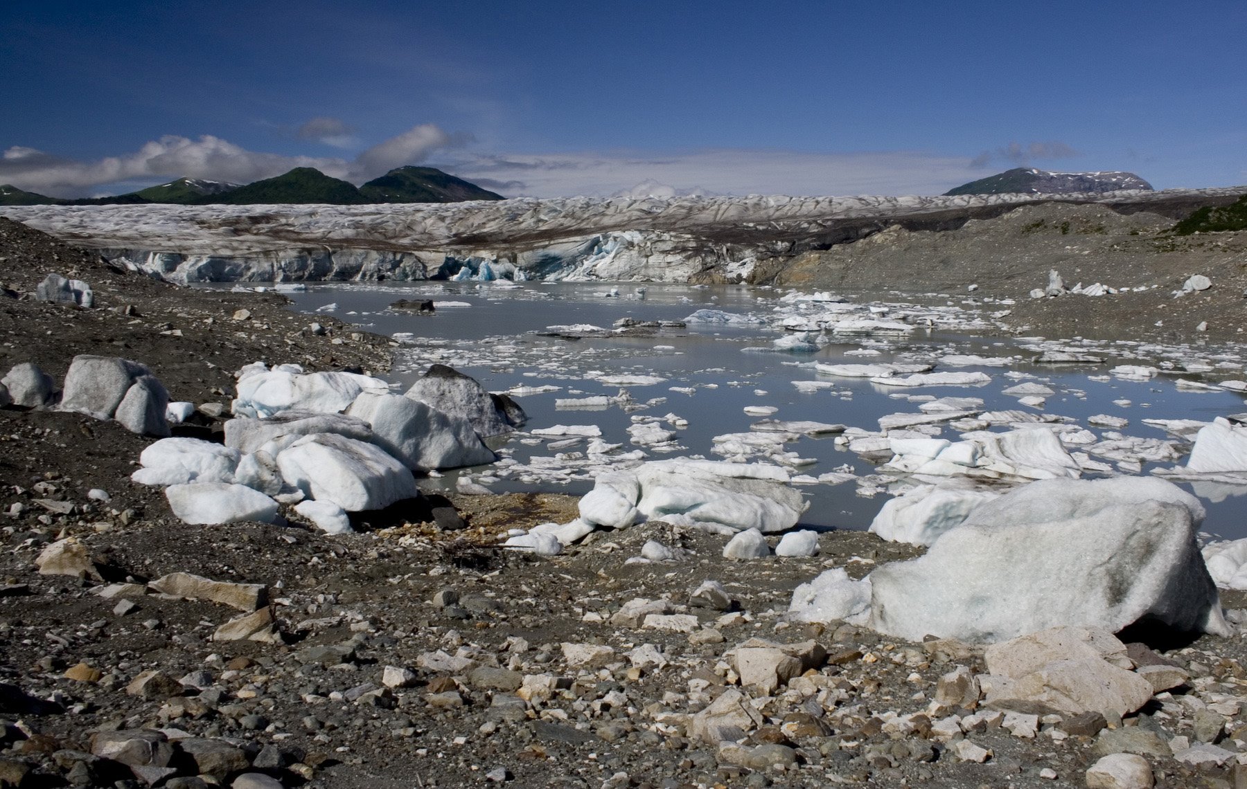
Brady Glacer dams two small lakes.
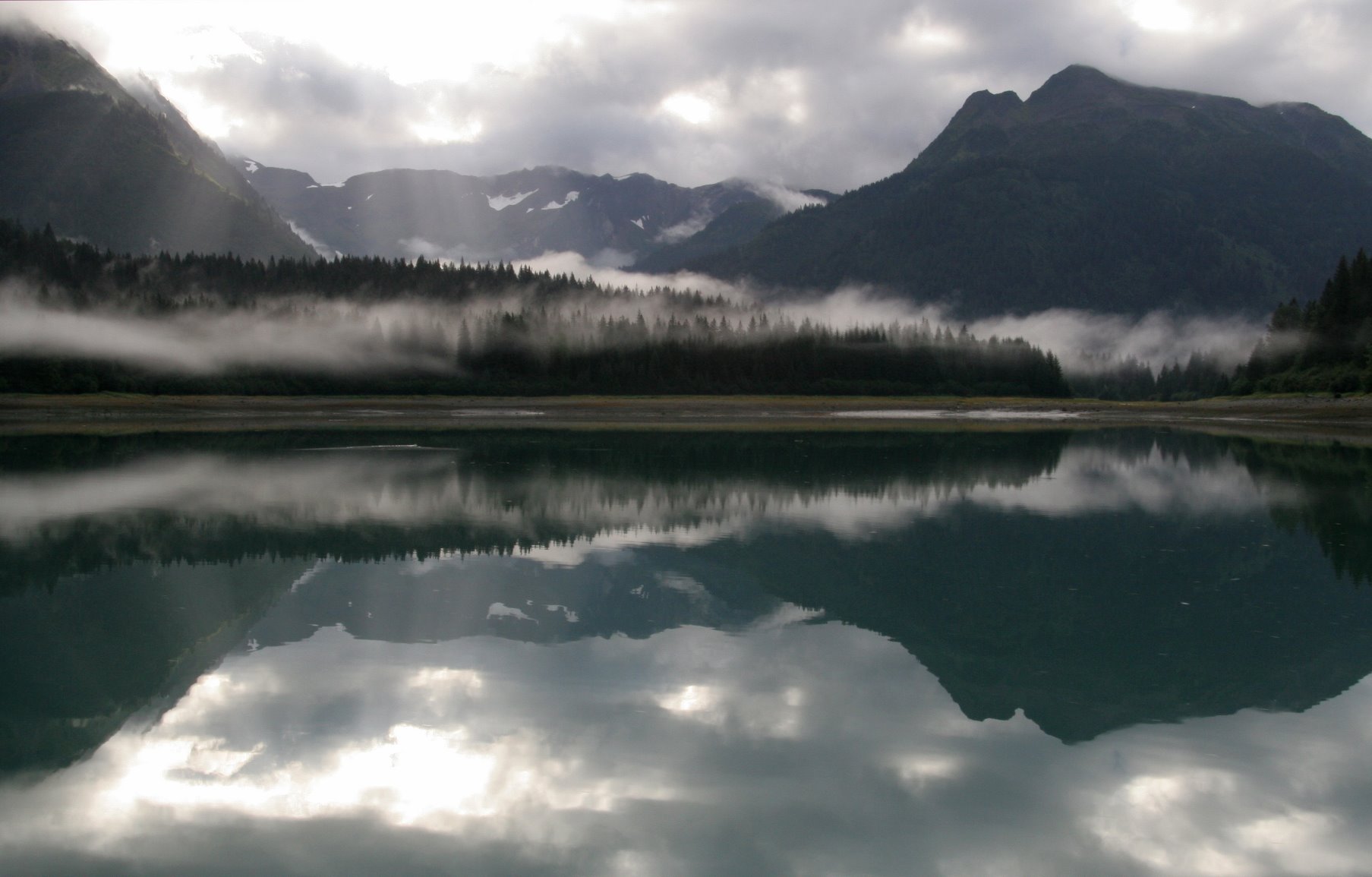
Glacier Bay has 800 miles of protected shoreline.
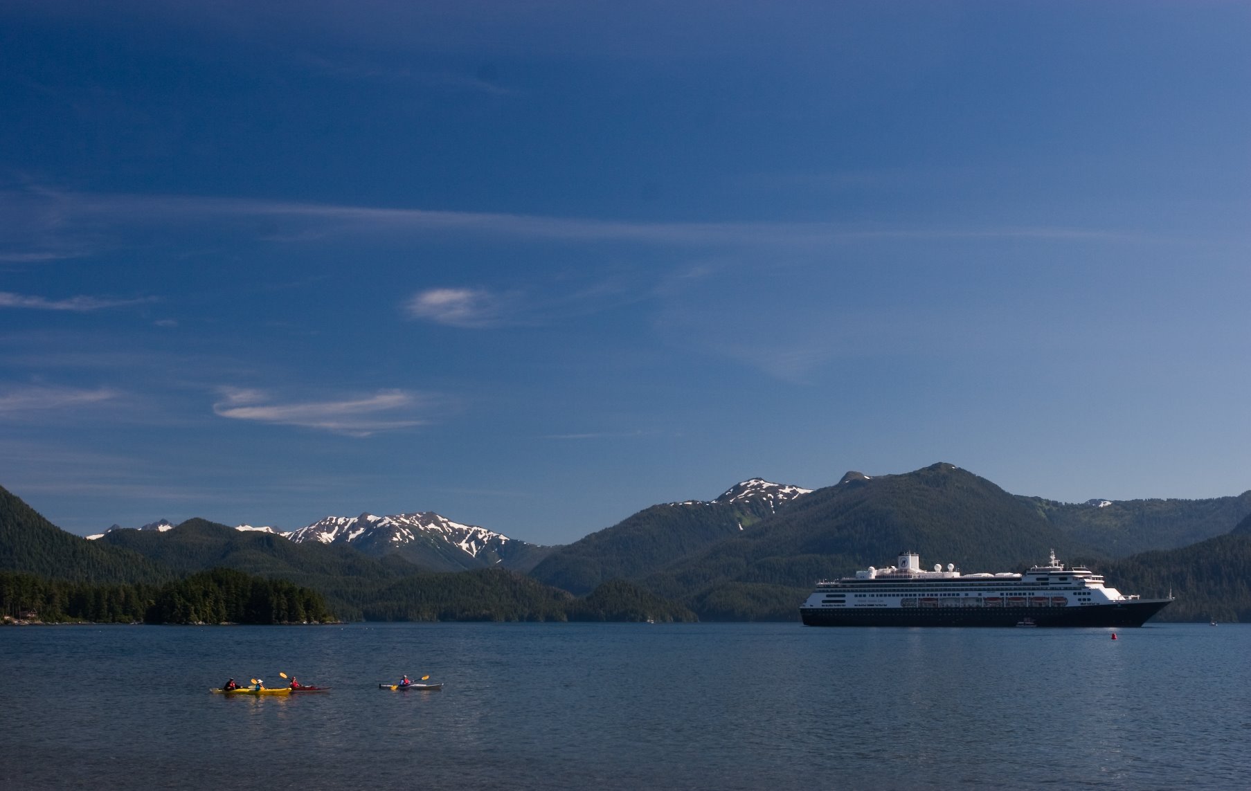
Sitka Sound.
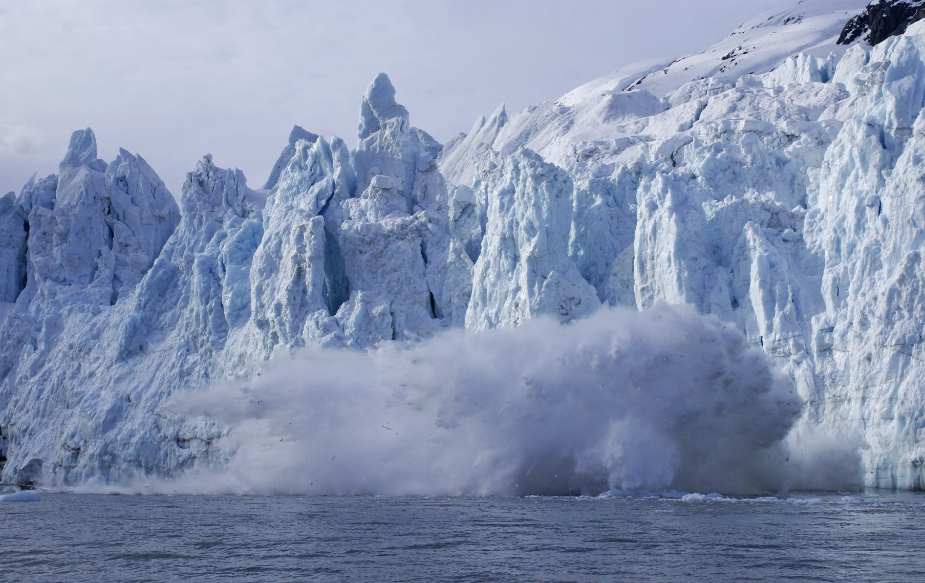
Big ice calving off the face of Margerie Glacier – over 200 feet high, causing a 100 feet splash.
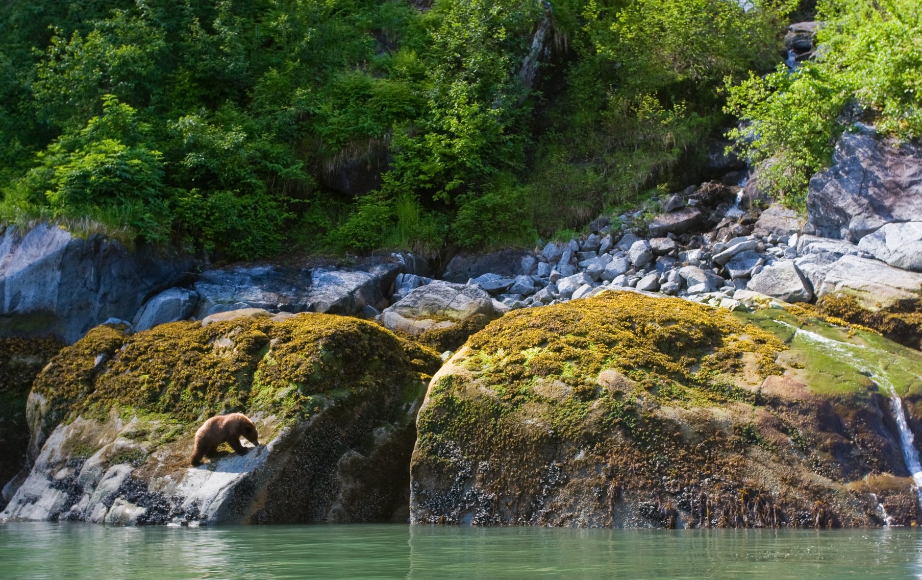
Bear in Tracy Arm Fjord.
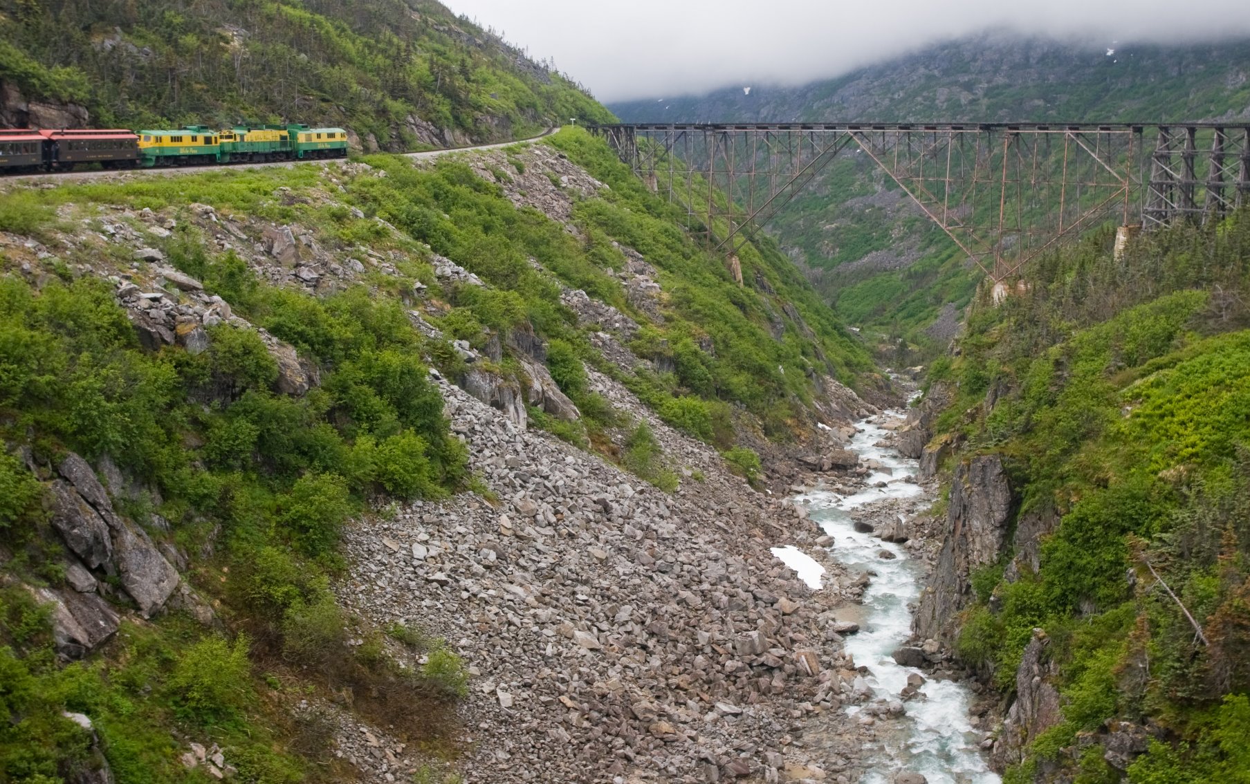
Summit of the train ride to the Yukon Territory.
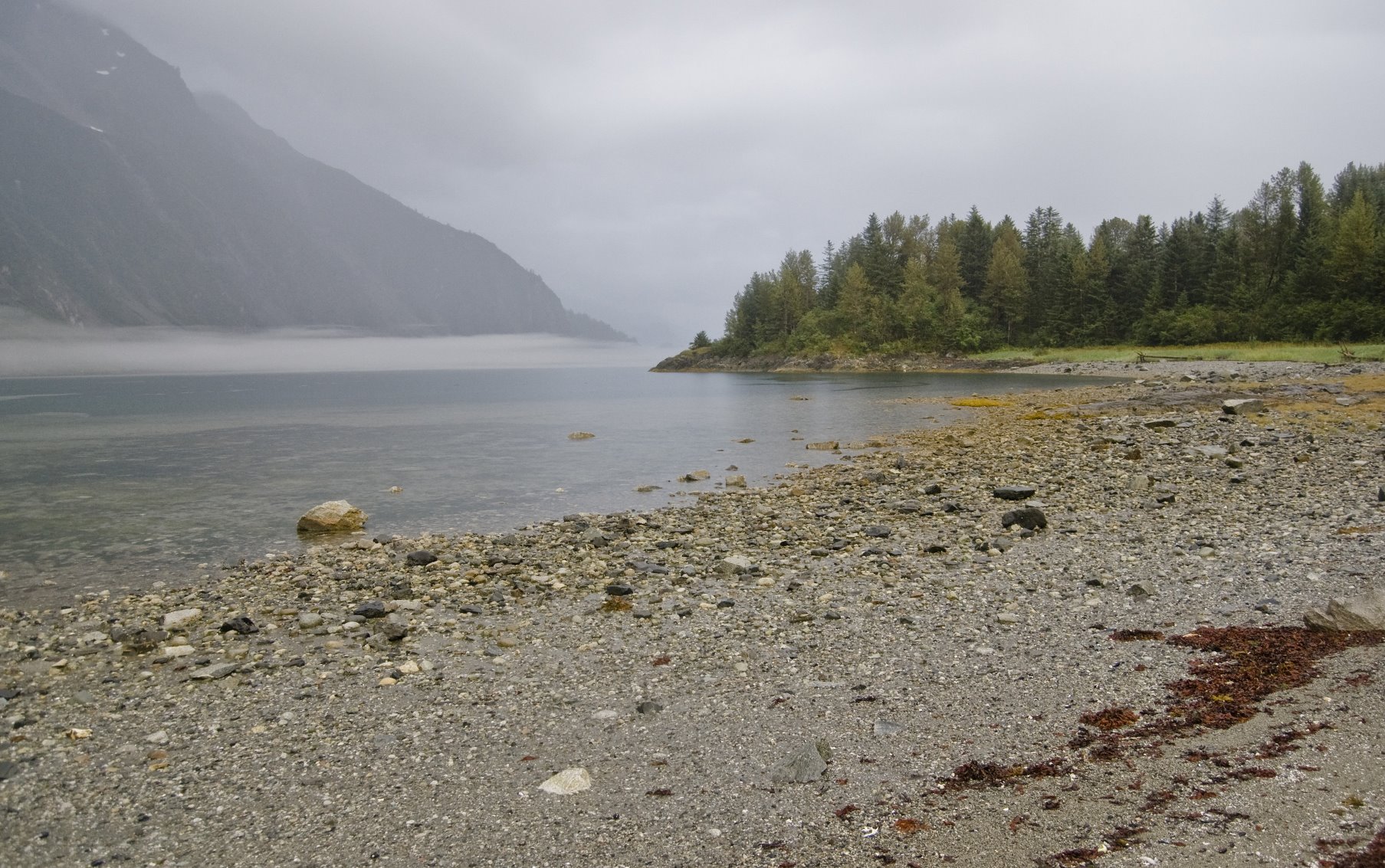
View from Garforth Island in Glacier Bay.

Humpback whales compete with brown bears as being the most popular, ‘must-see’ mammal in Glacier Bay.
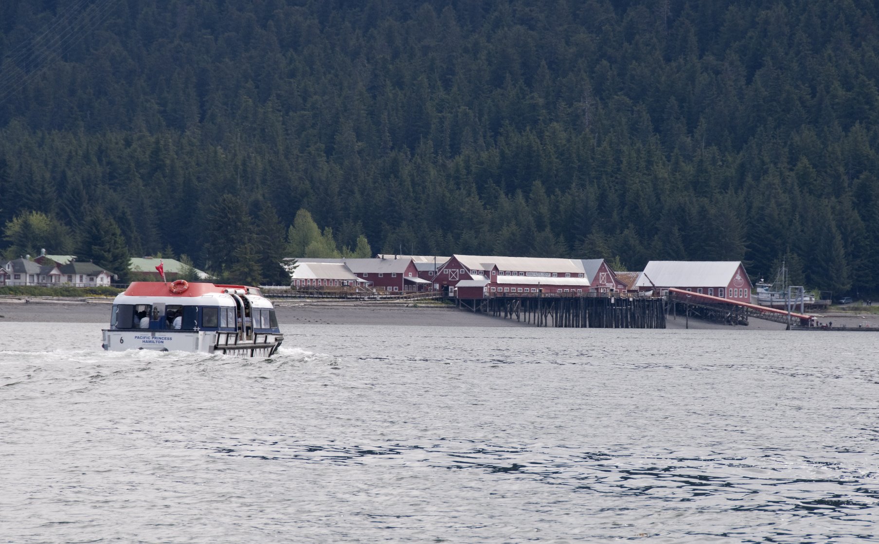
Old salmon cannery at Icy Strait Point in Hoonah.
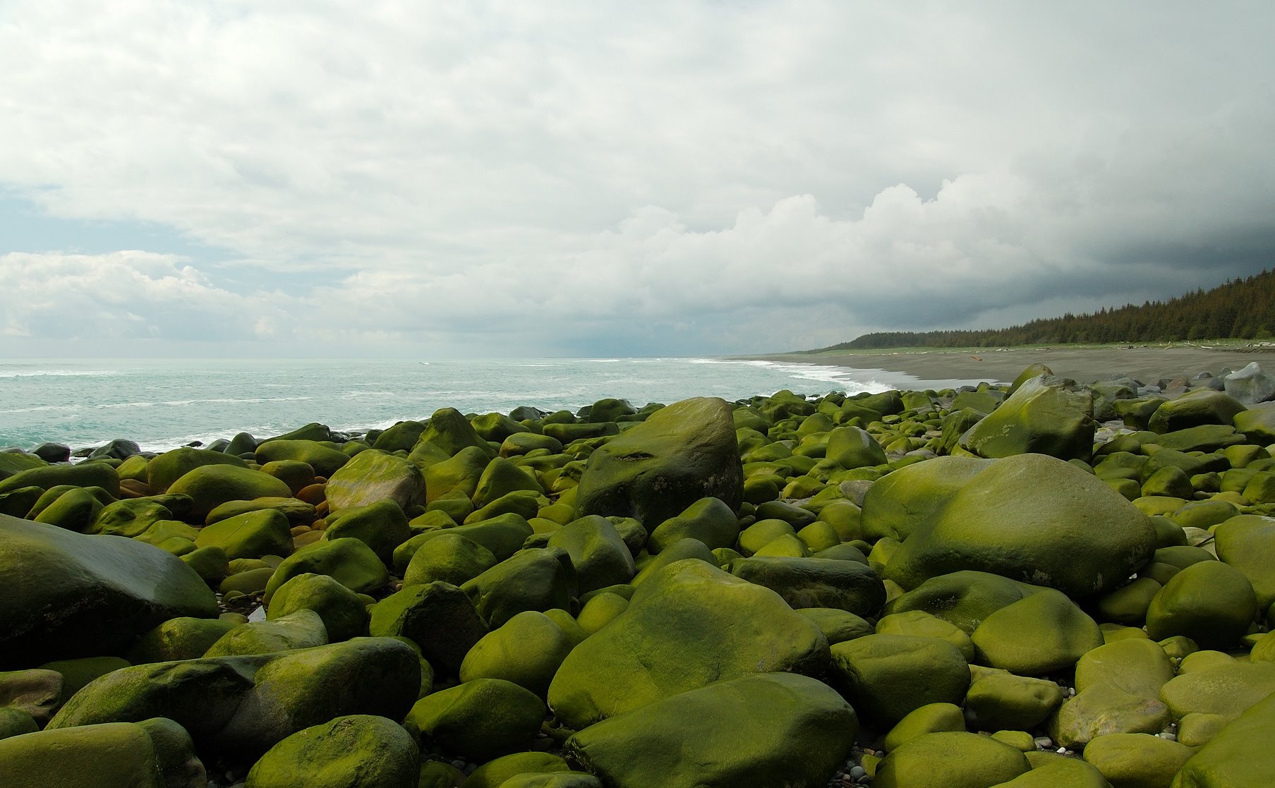
Algae covered glacial erratics on the outer coast.
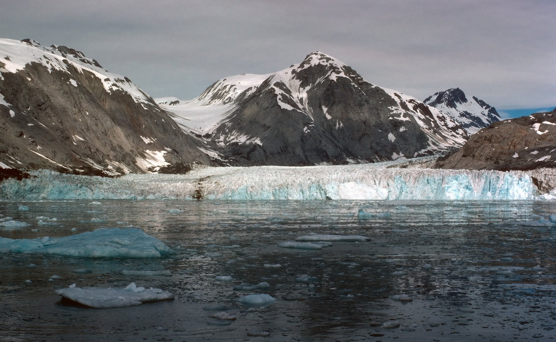
Muir Glacier, 1976

Wolf strolling down a beach in Glacier Bay

The Tatshenshini-Alsek river ends in Dry Bay
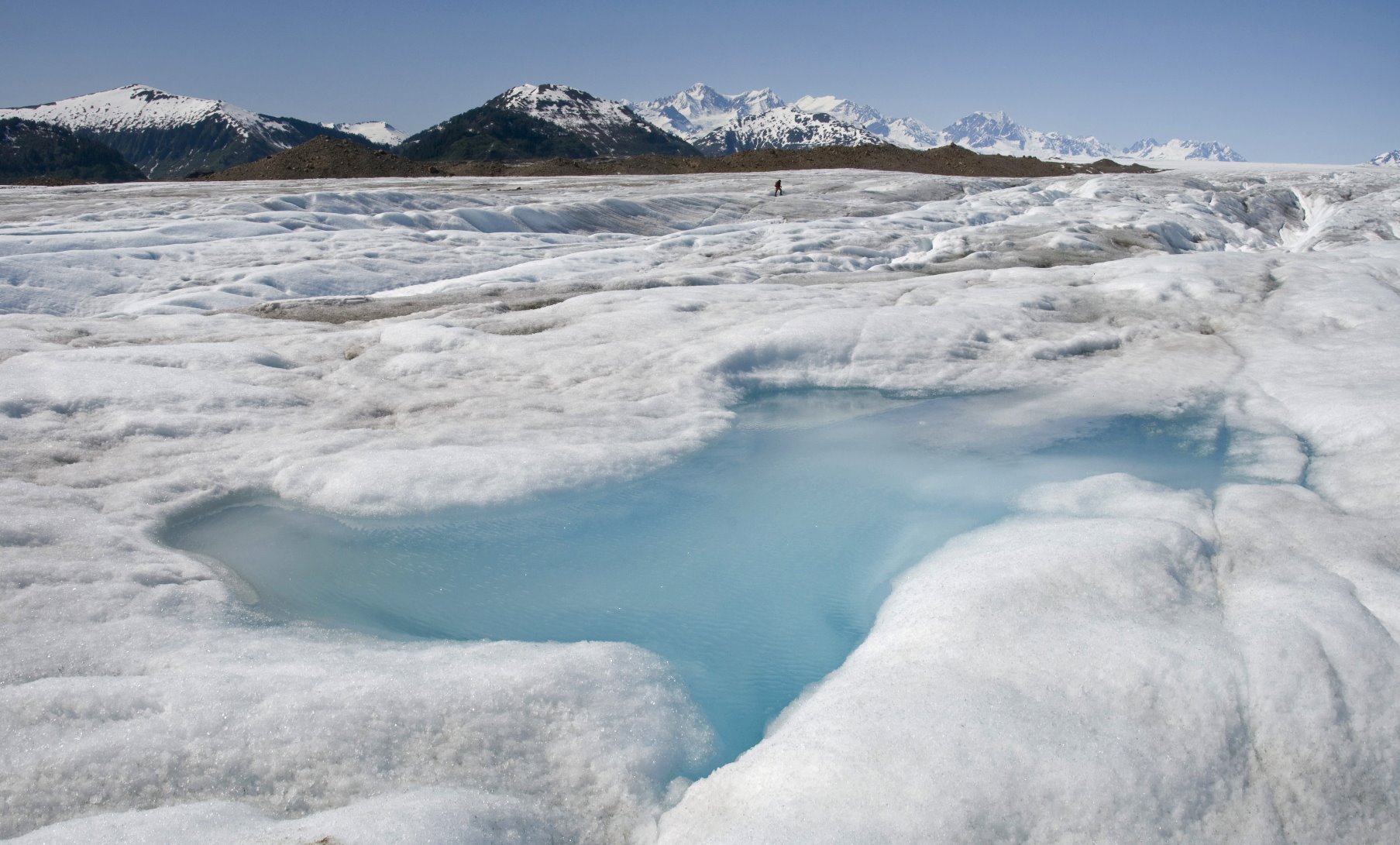
A pond formed on the ice.
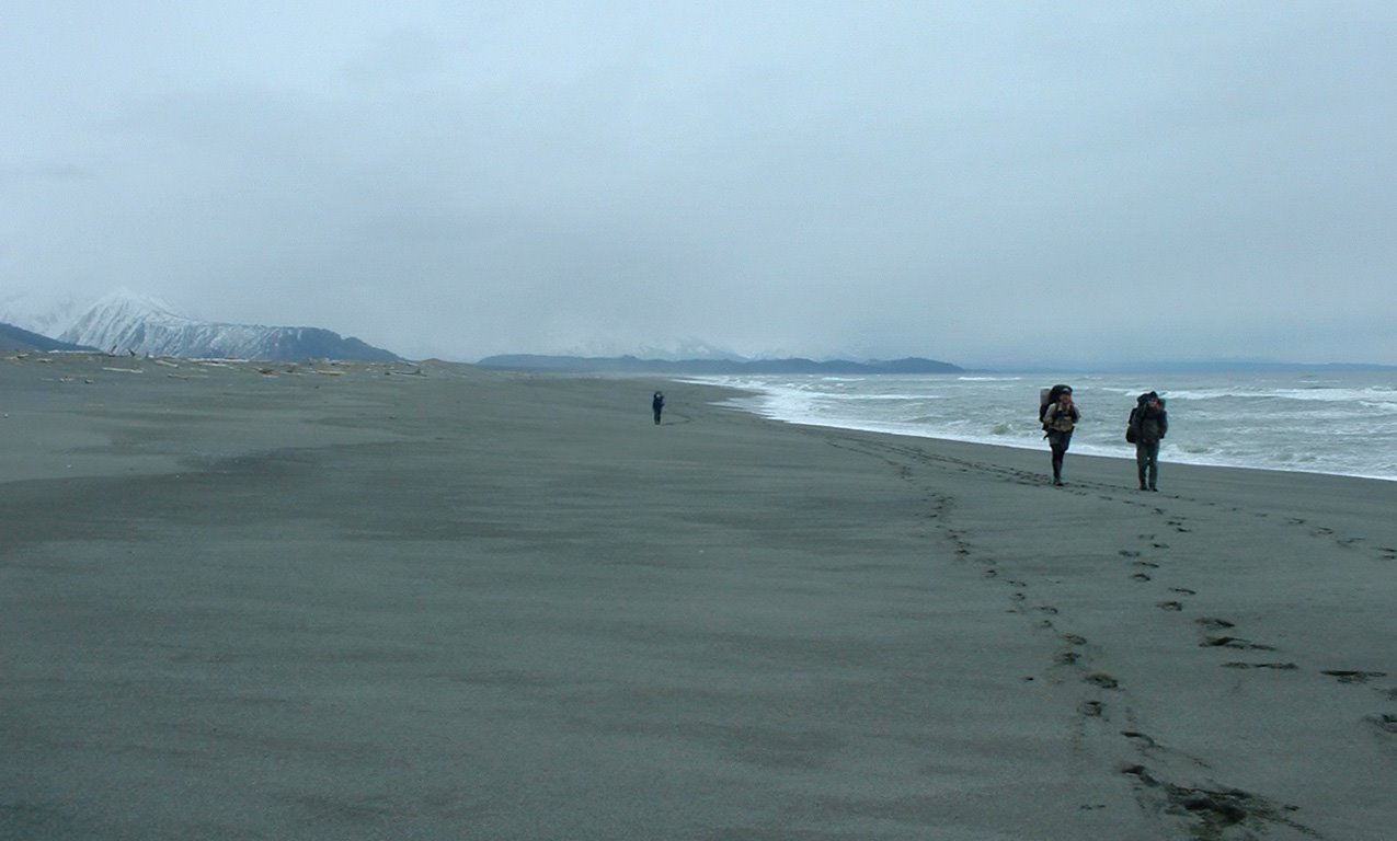
Wildest parts of Glacier Bay National Park can be reached only on foot
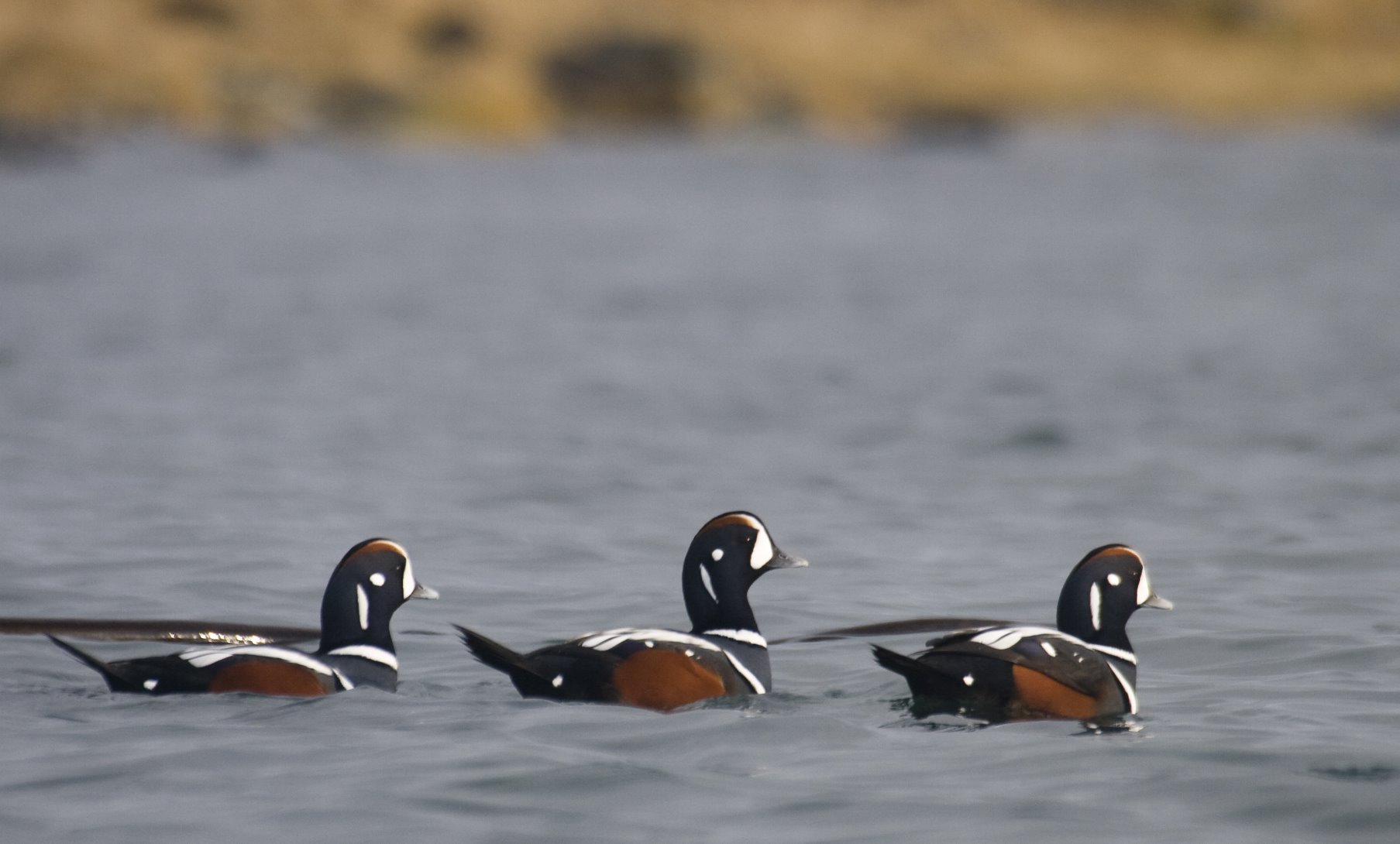
Harlequin Ducks
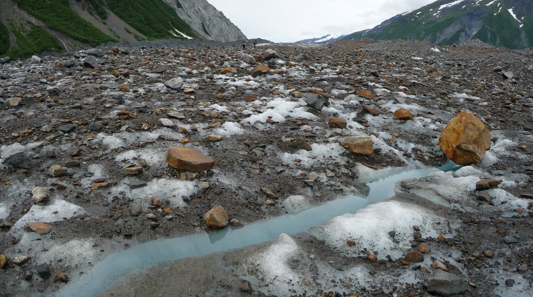
Lituya Glacier covered in a layer of rock.

Boats used to explore Glacier Bay – far cry from modern cruise ships.
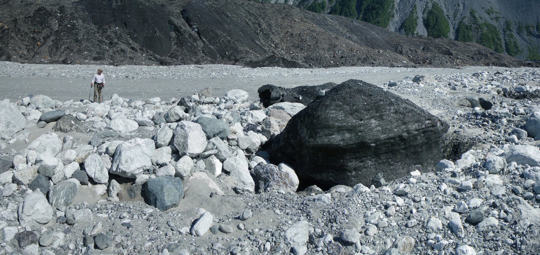
Lituya Glacier
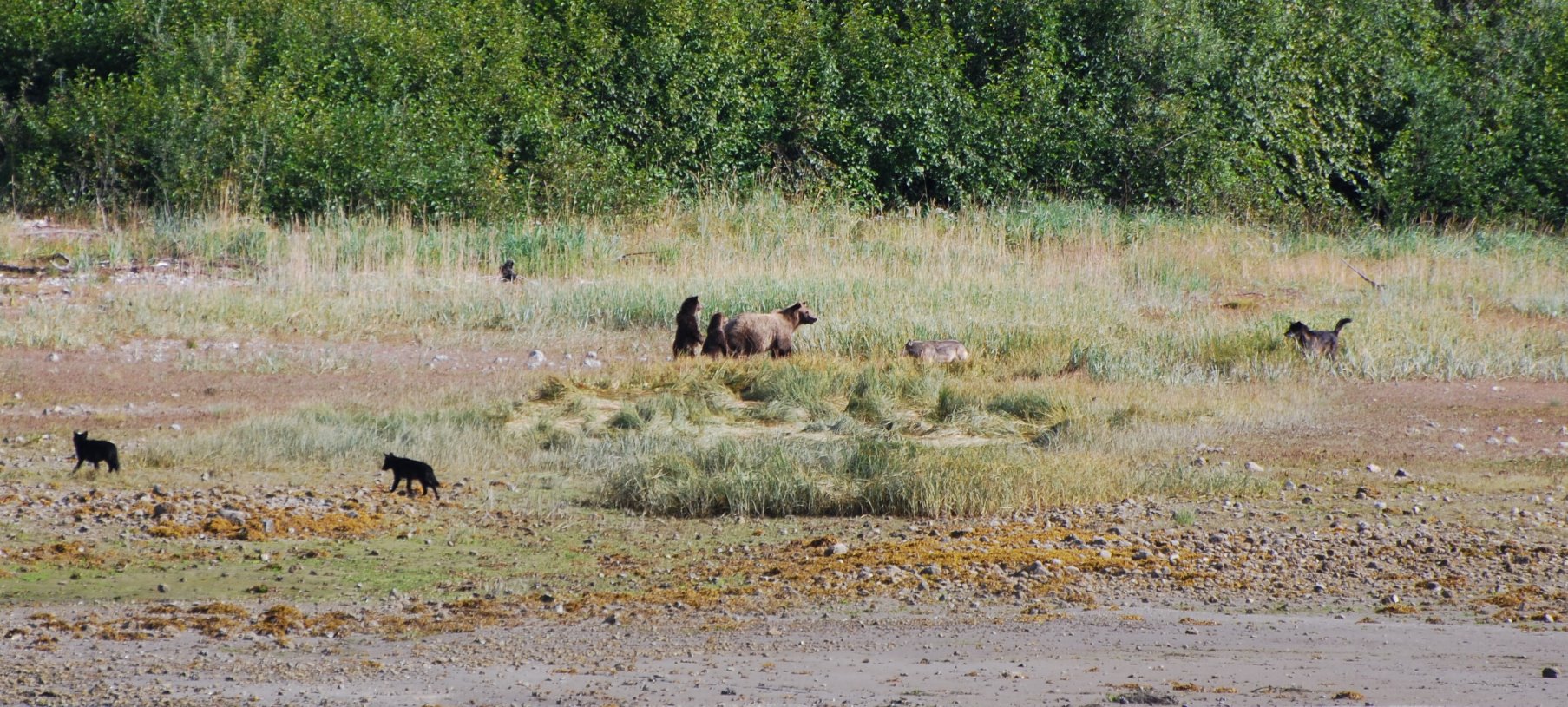
Brown bear and her cubs.
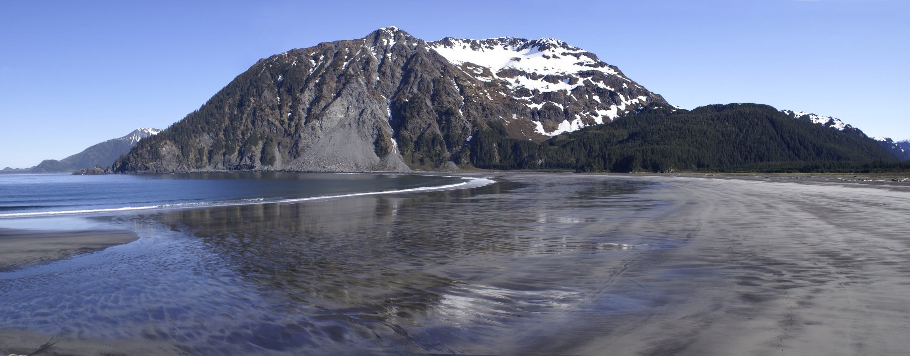
River otter prints on a remote beach.
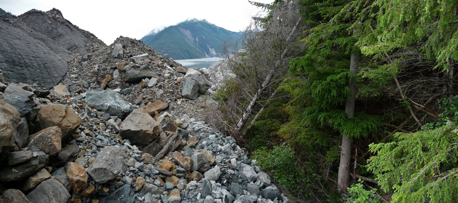
Glacier vs Forest – North Crillion Glacier prevails.
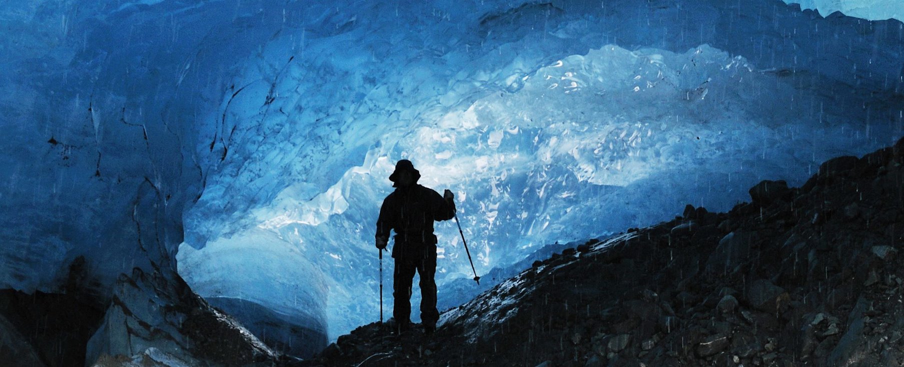
Water dripping from the roof of a moving glacier.
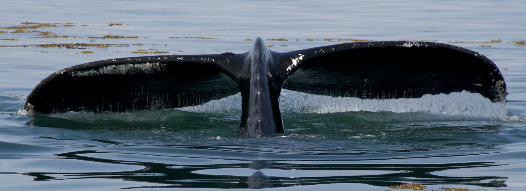
Whale at Point Adolphus during the summer months.

Tidal Inlet
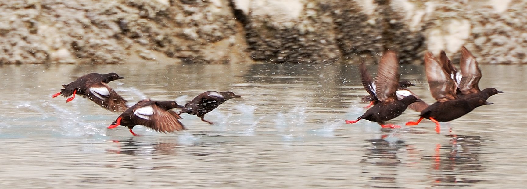
Black and white Pigeon Guillemots.

Traversing under a cornice on the way to the high saddle on the west ridge of Mount Fairweather.
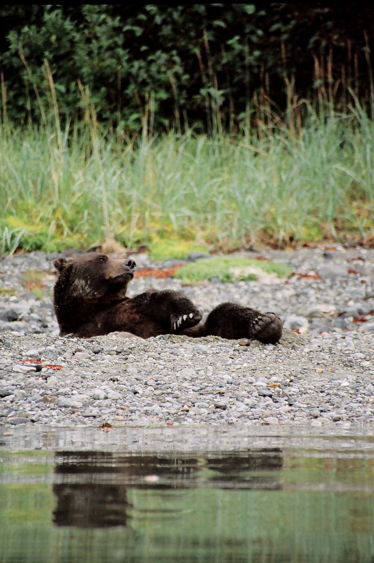
Bears eating during the salmon run.
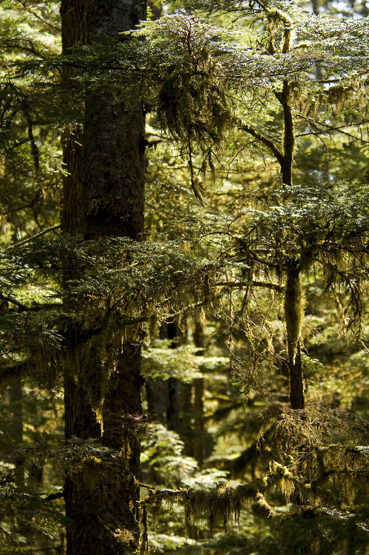
Forests of spruce, hemlock and cedar cover much of Southeast Alaska.
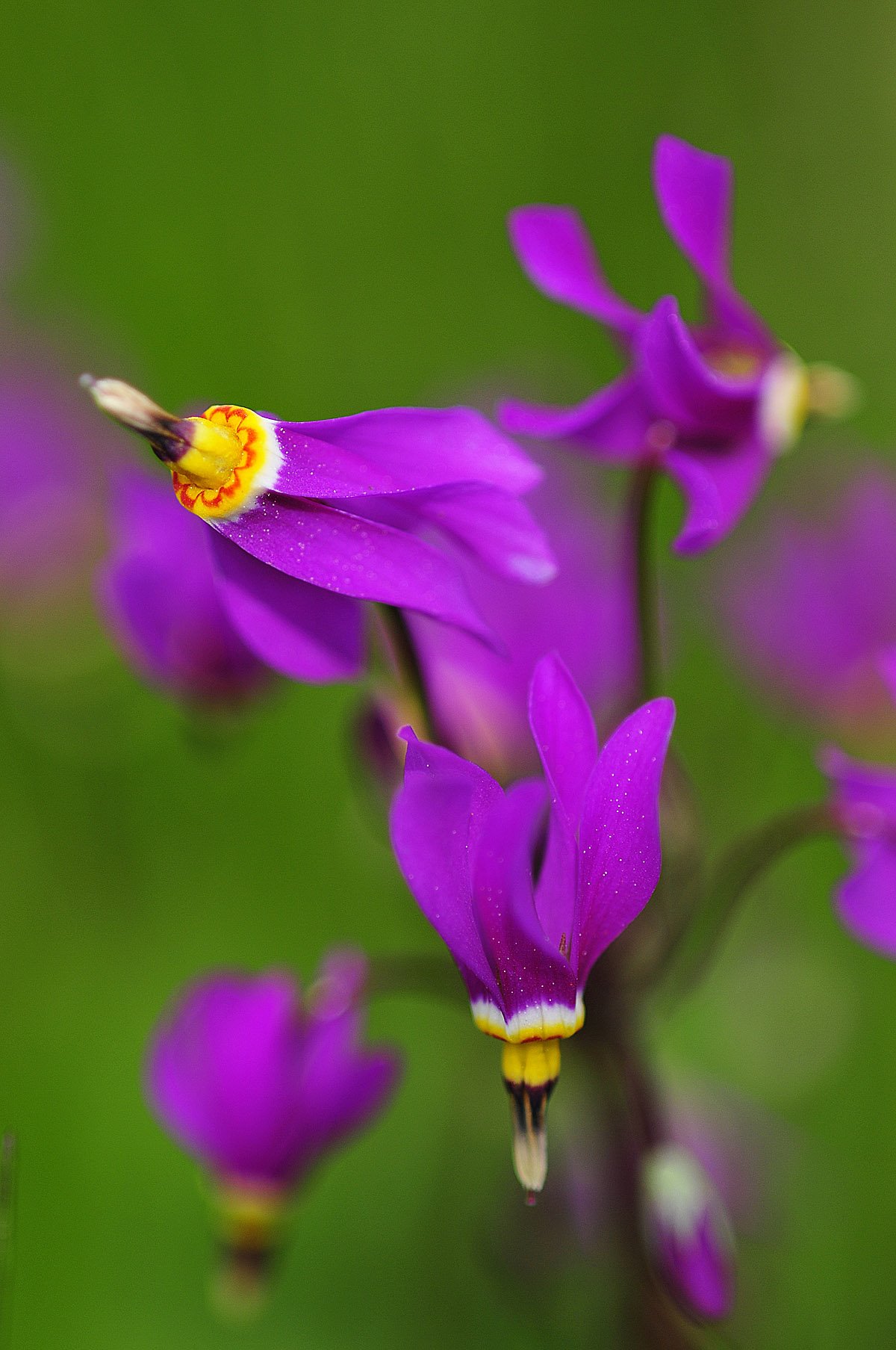
Wildflower called a Shooting Star.

Ice caves.
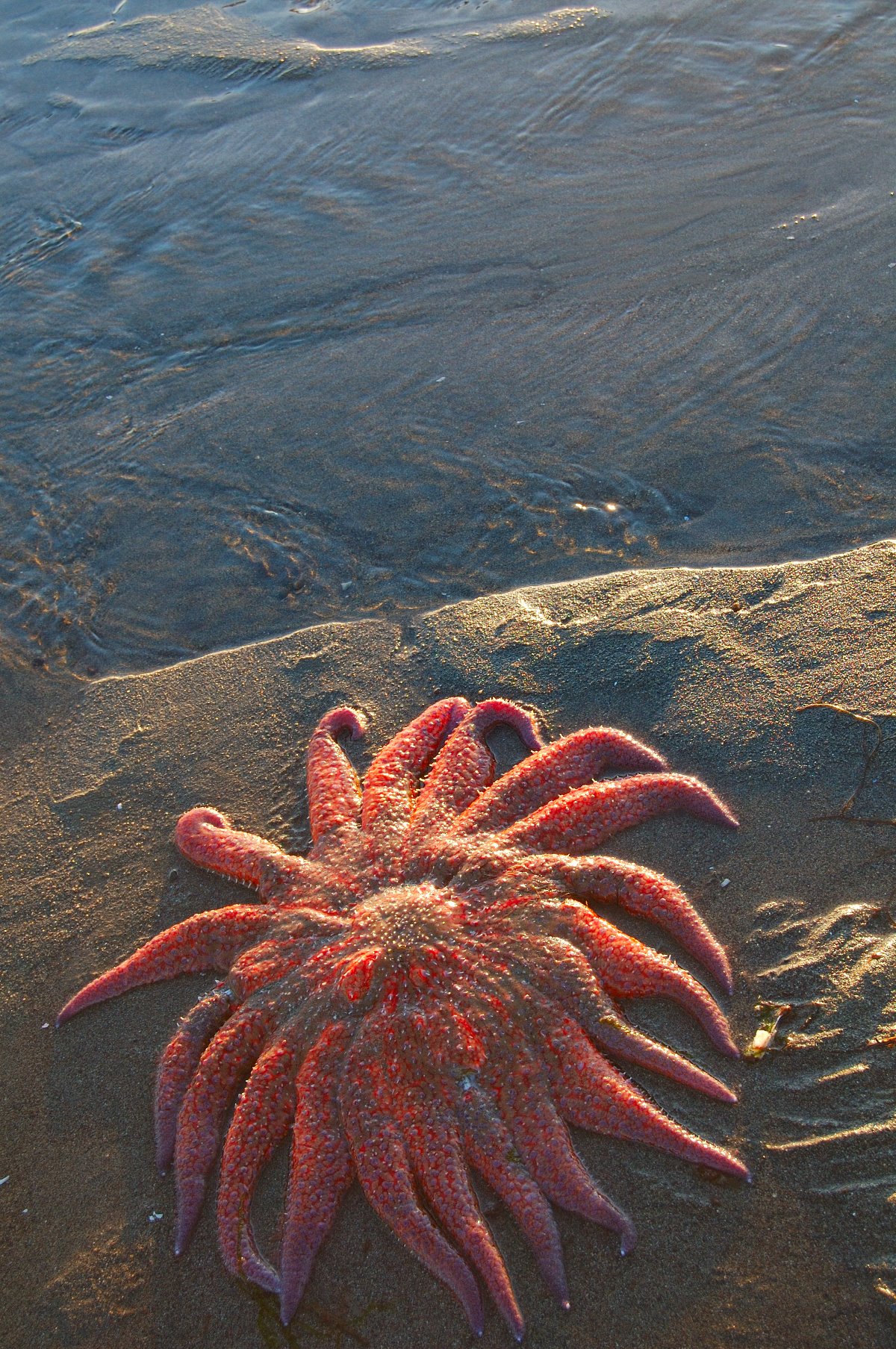
Large sun star stranded by falling tide in Southeast Alaska.
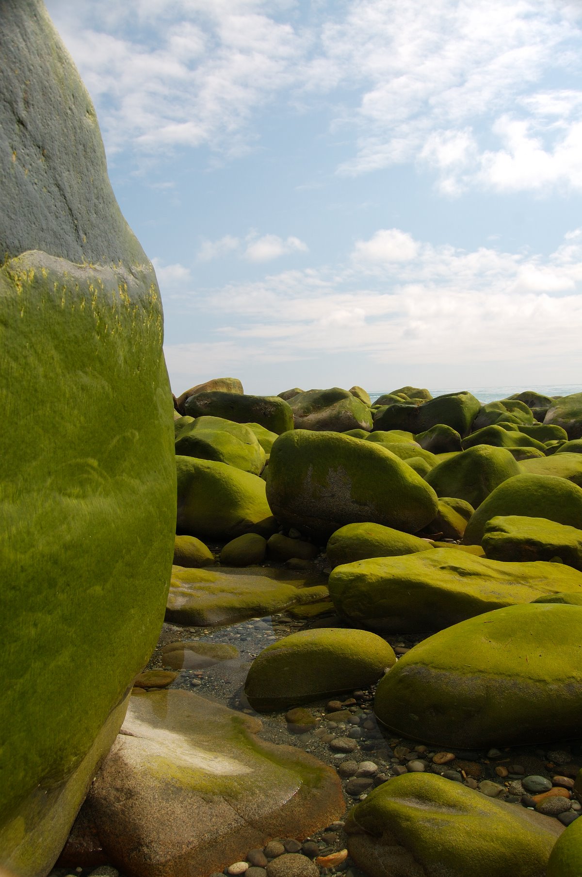
Car sized erratics covered in algae bloom.
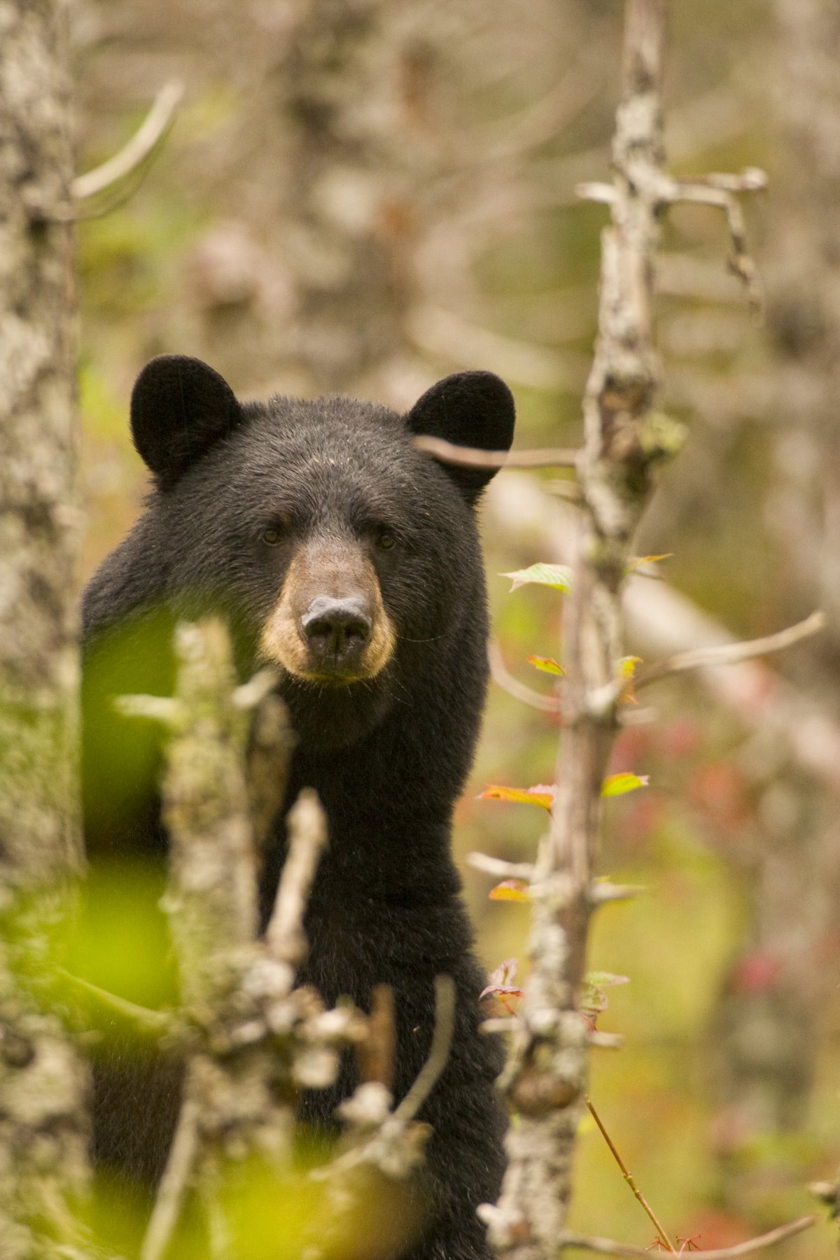
Bears stand to threaten, but also to observe.

Moose are relatively new residents in Glacier Bay, arriving in the 1960s.

Glacier Bay orchids.
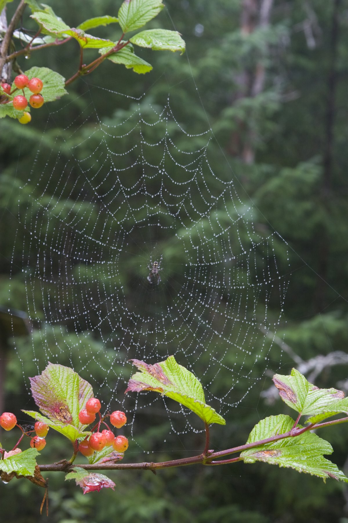
Spider web on a highbush cranberry plant.
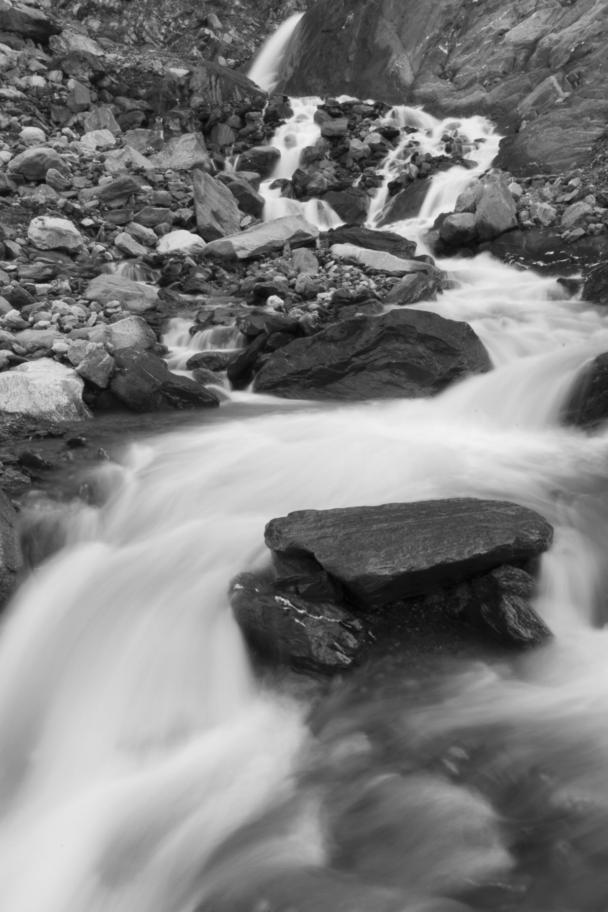
Glacial melt flowing over rocks.
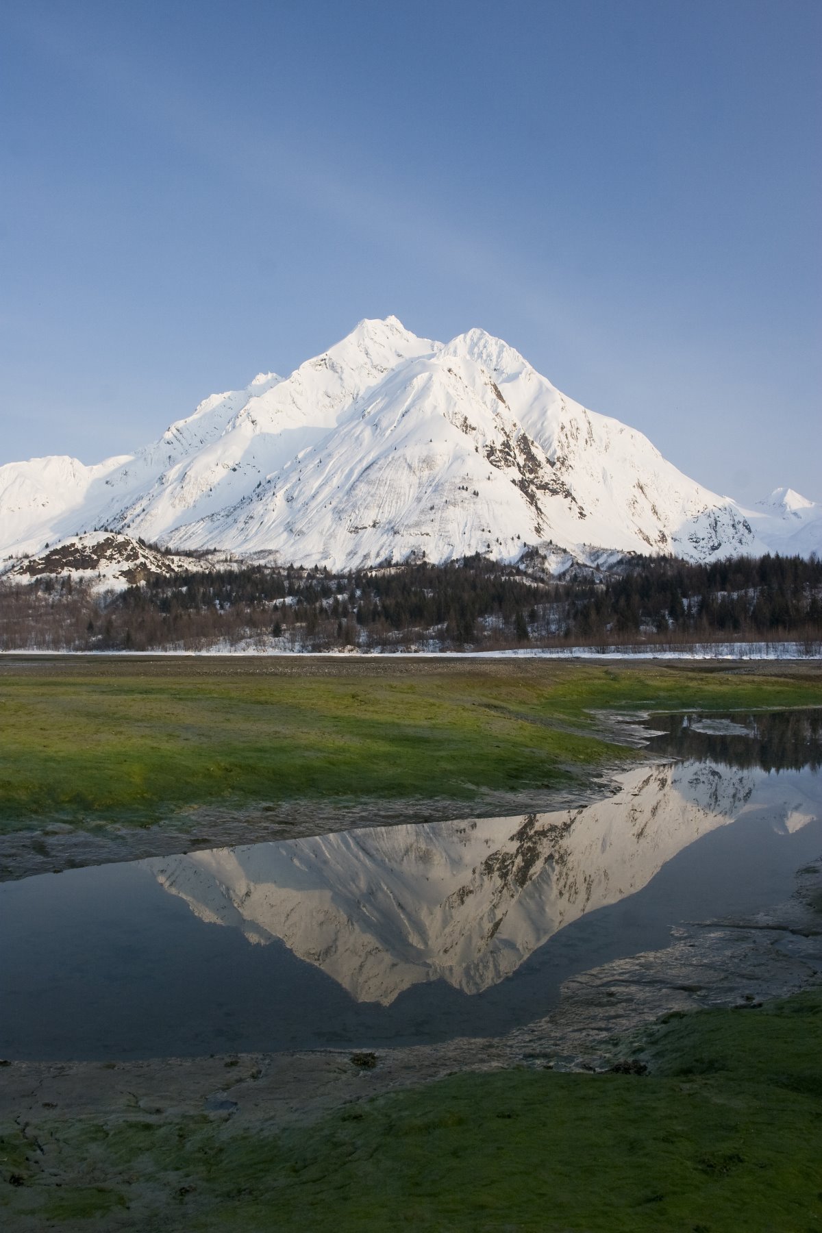
Tlingit saying: When the tide is out, the table is set.
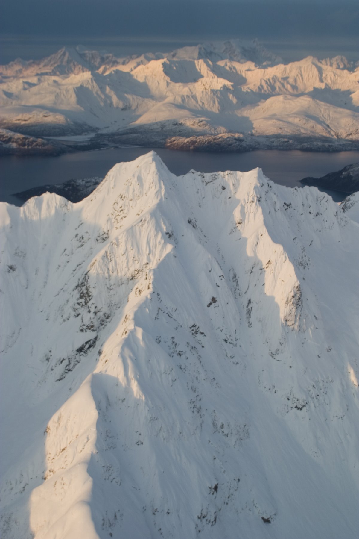
Unnamed peaks in Glacier Bay.
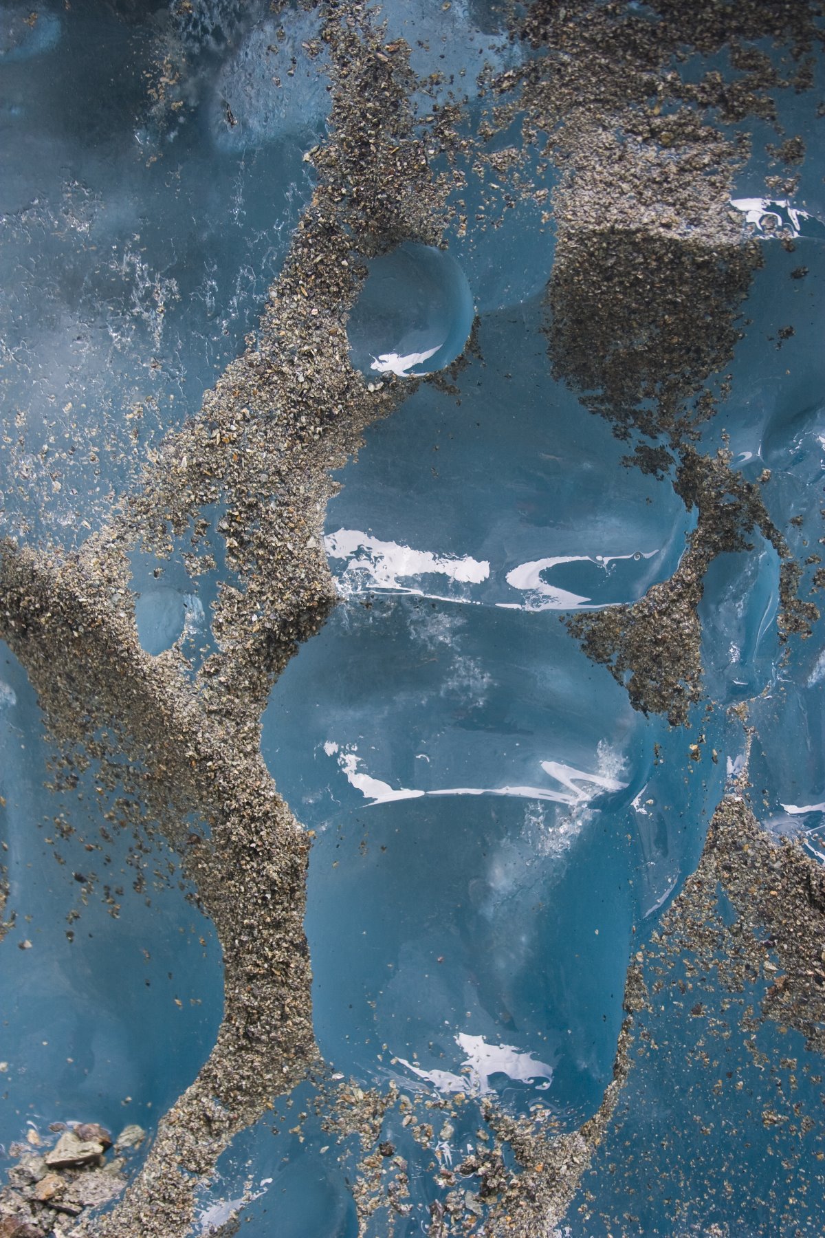
What makes the ice blue? The ice is blue because that is its true color. This color is expressed because the ice is pure, which allows the light to penetrate sufficiently far that the reds, yellows and violets are differentially absorbed from the light spectrum, leaving the blues and greens to be transmitted back to ones eye. Ice looks white when it contains too many air bubbles that scatter the light back before it can be differentially absorbed by the ice.
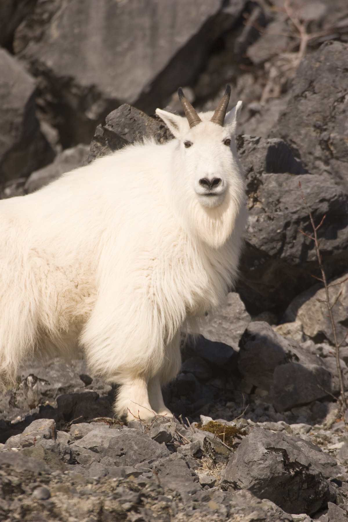
Early Spring mountain goat in Glacier Bay.
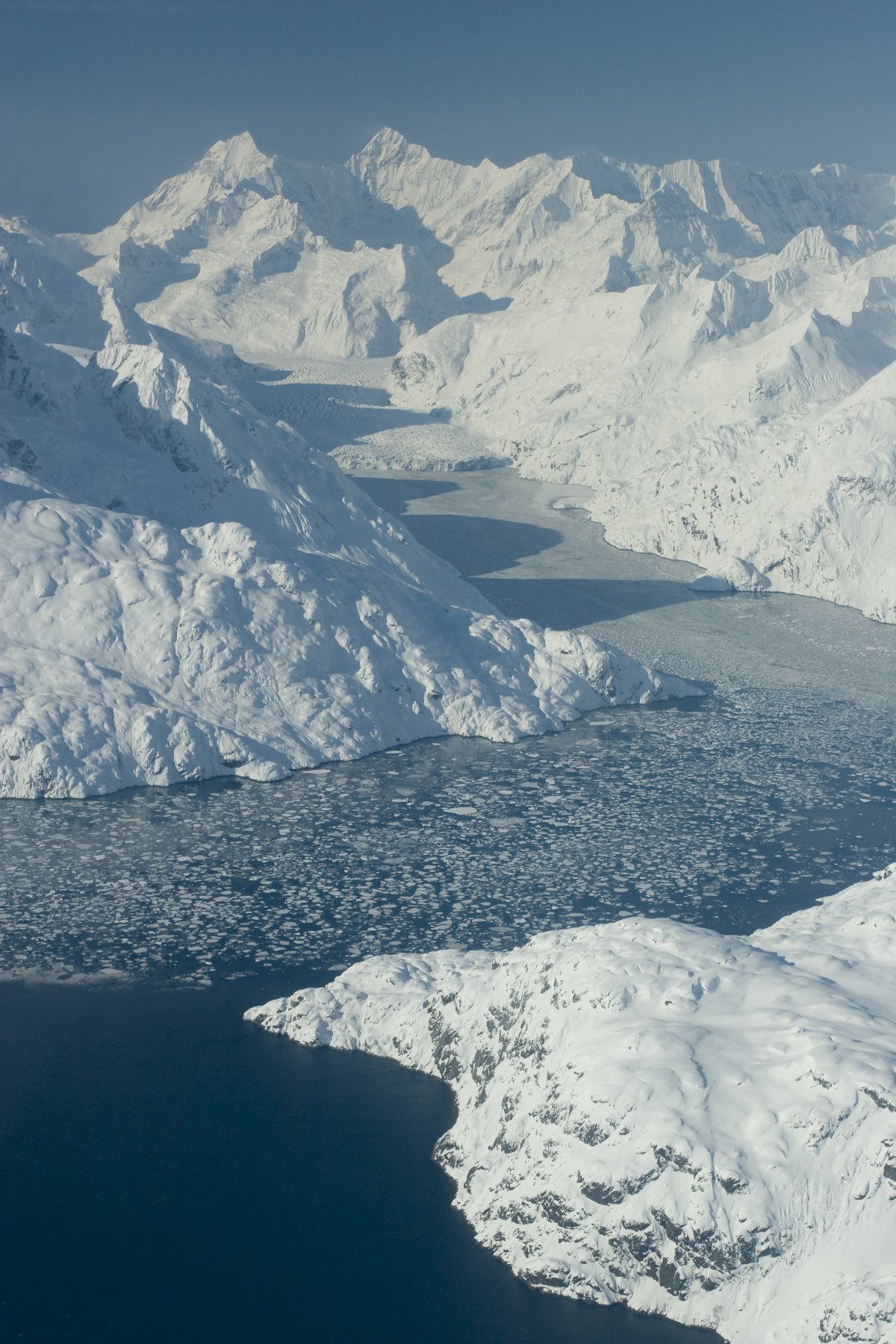
John Hopkins Inlet – winter.
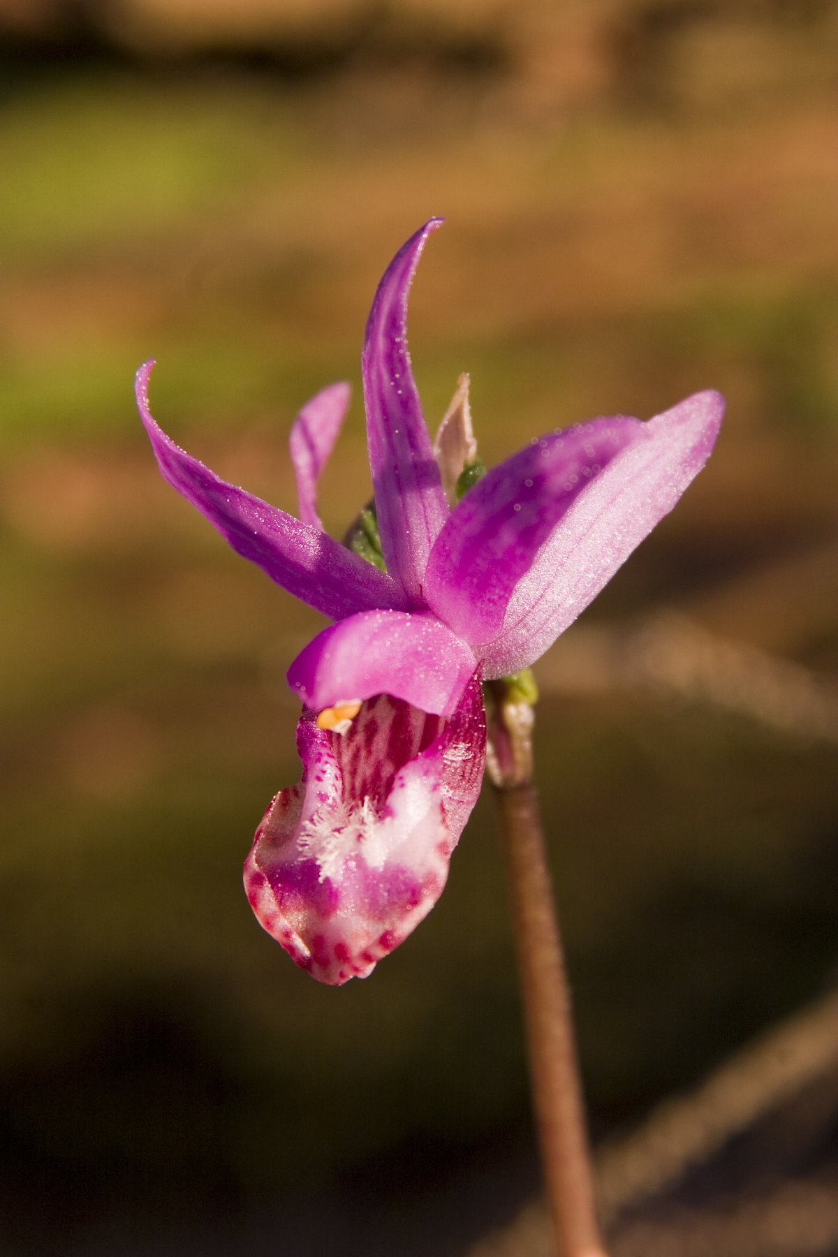
Fragile Calypso Orchid.
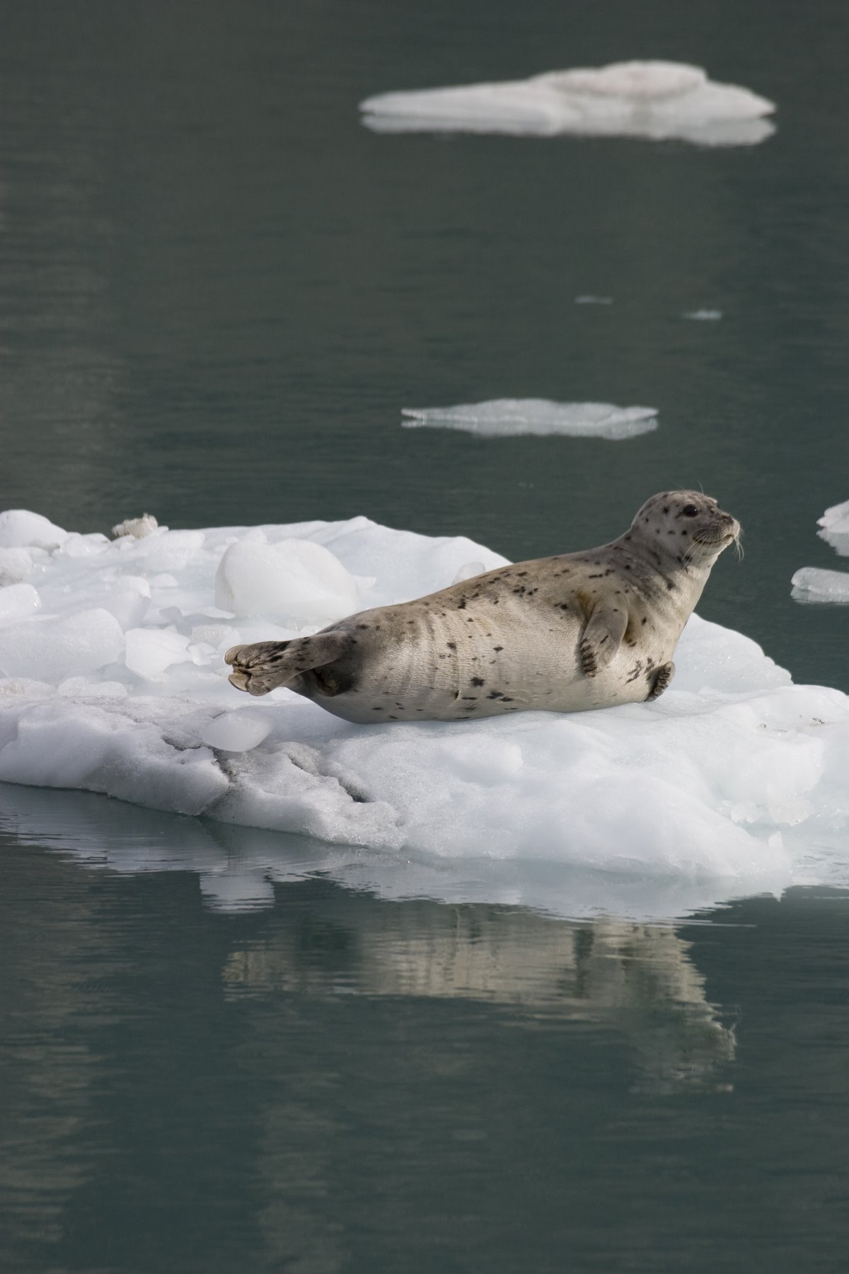
Harbour seals in Glacier Bay

Tidal flats at low tide.
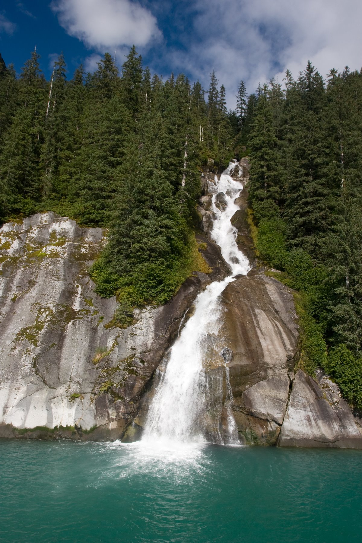
Waterfalls at Tracy Arm Fjord
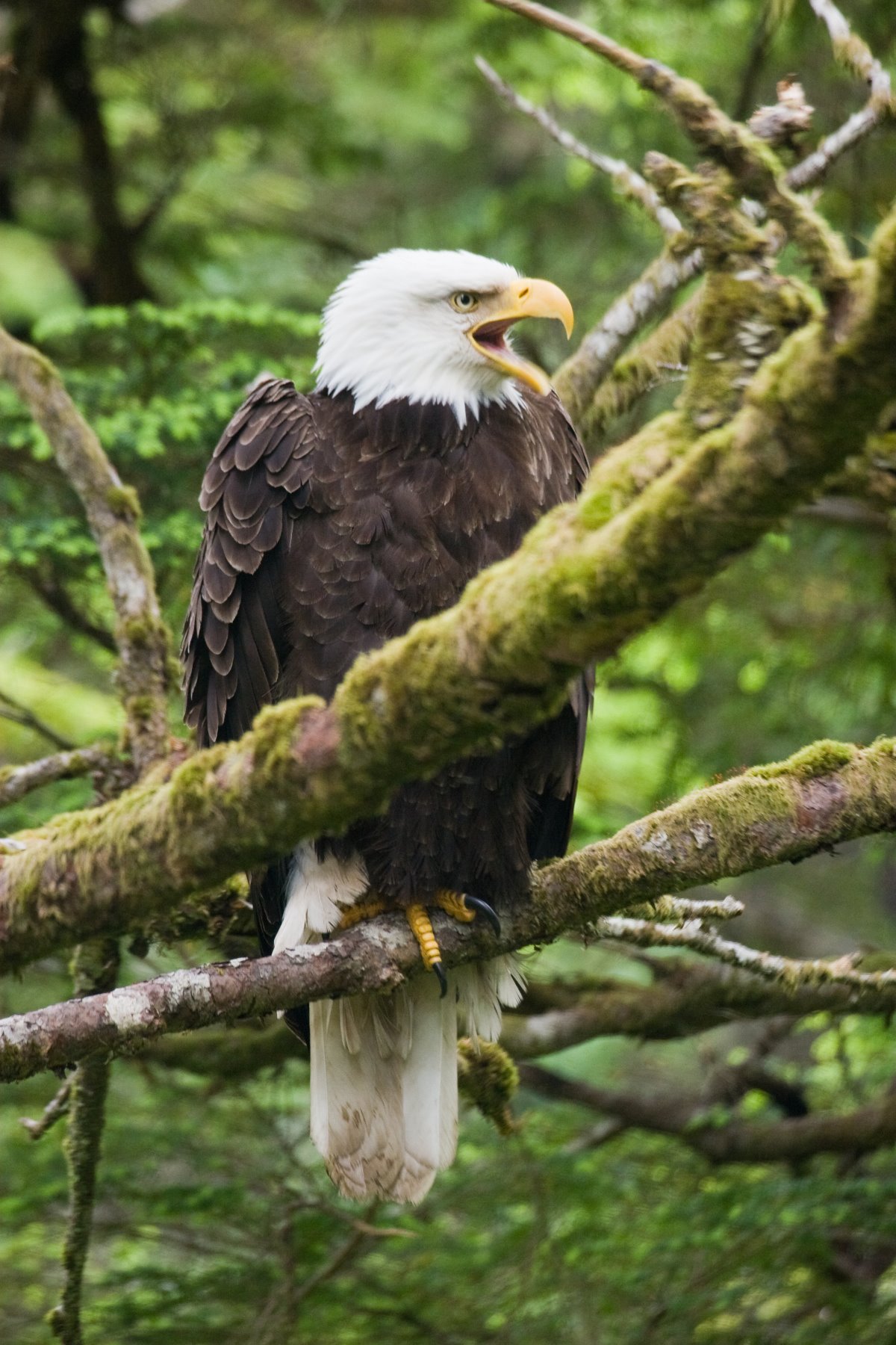
Sitka Alaska Raptor Center

Yaadas Crest Corner Pole.
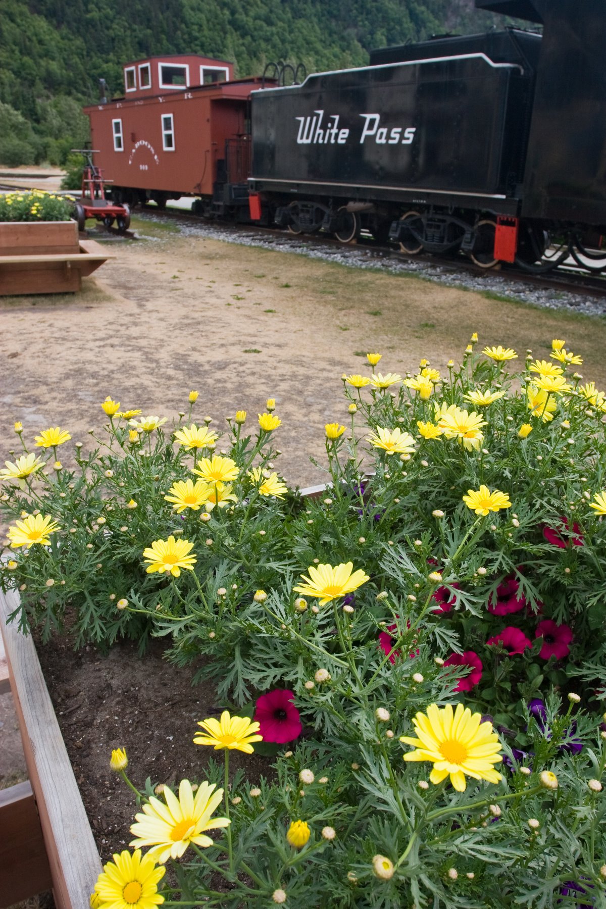
Older engines from the White Pass
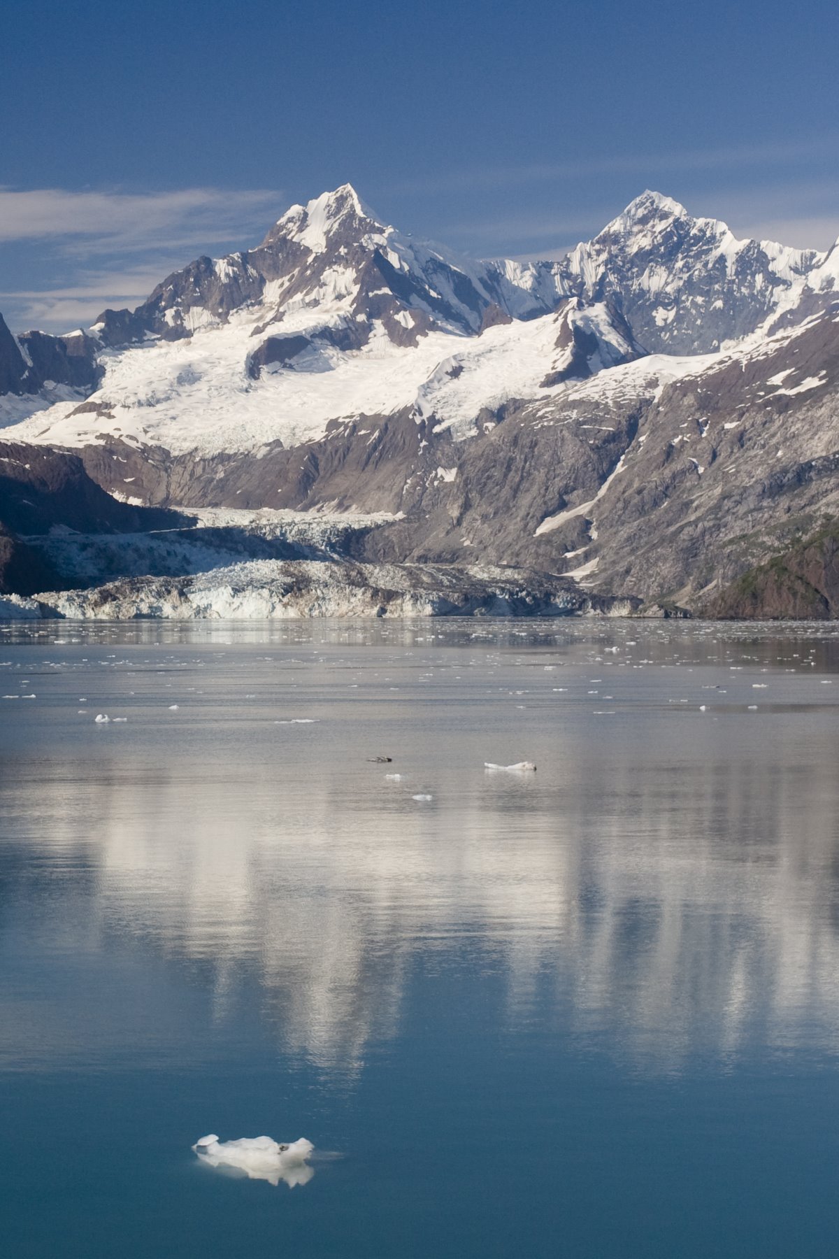
Johns Hopkins Glacier
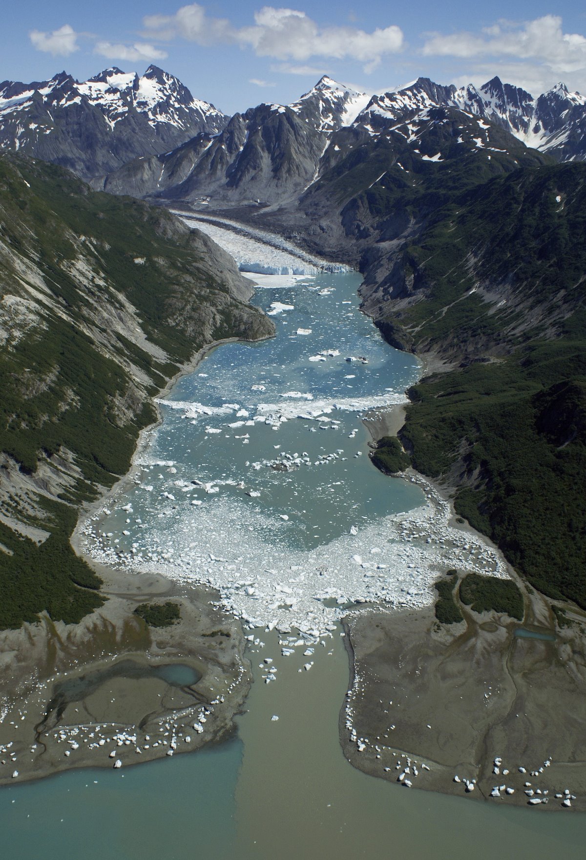
McBridge Inlet.
East Arm of Glacier Bay in the 1970s.
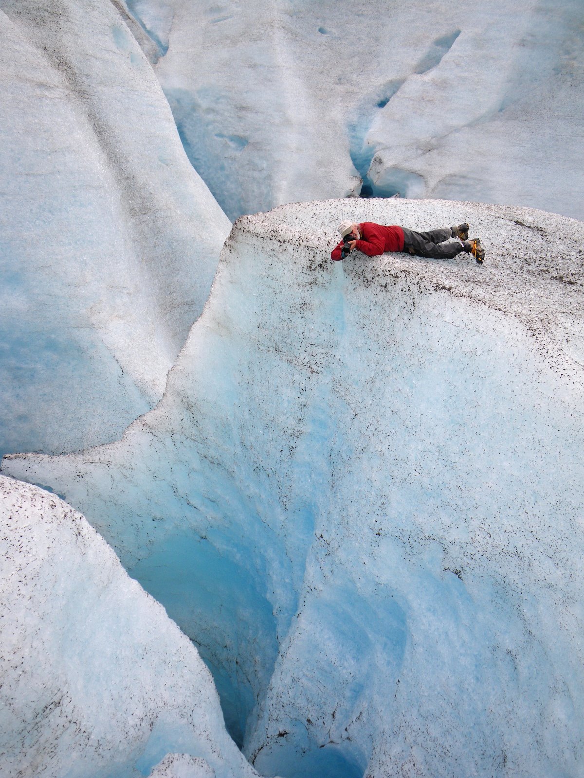
Clear blue ice and big crevasses!

Even from a quarter mile, the 150 foot high face of Lamplugh Glacier looms impressively above sea level.
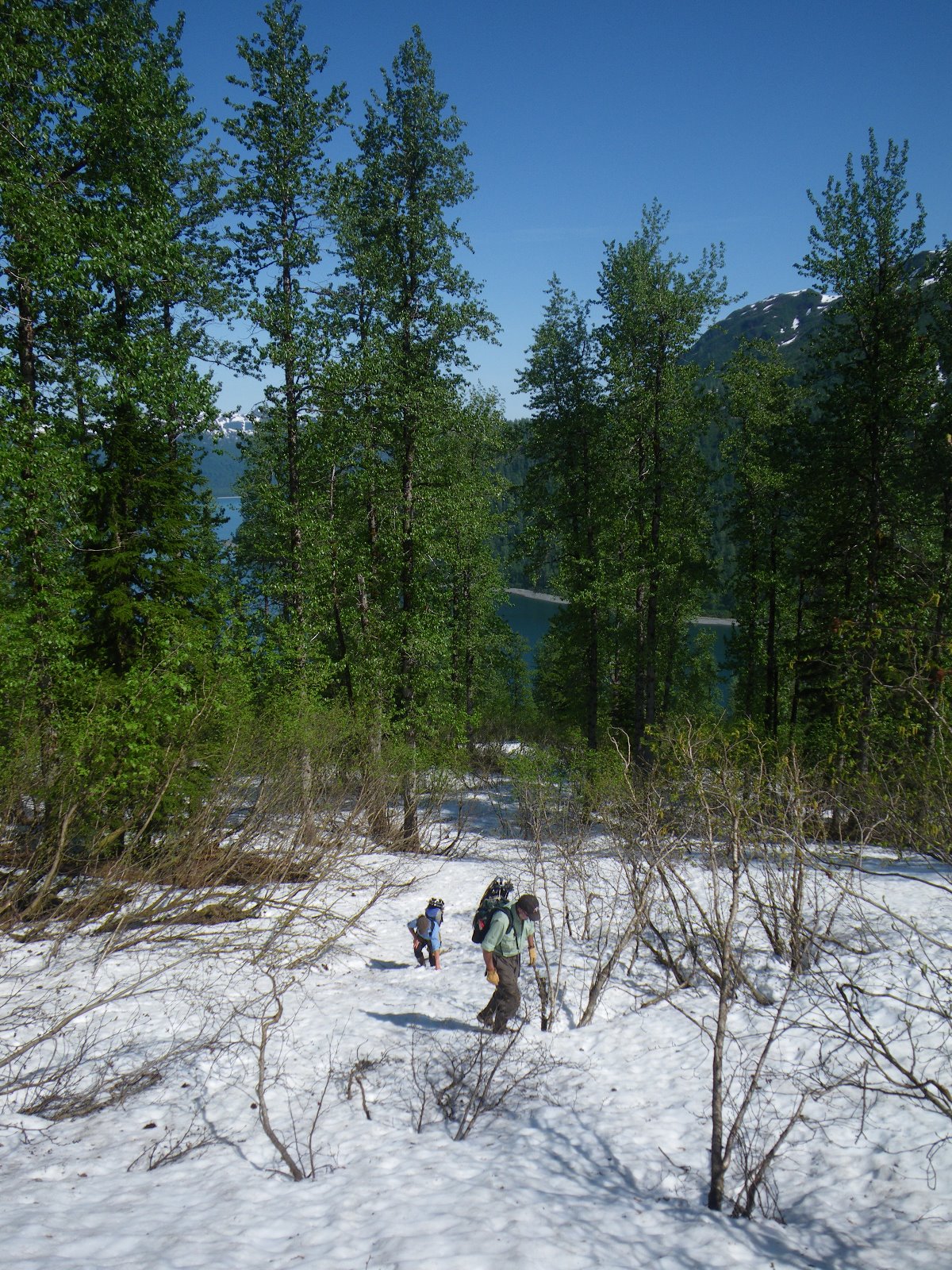
Early June in Geikie Inlet.
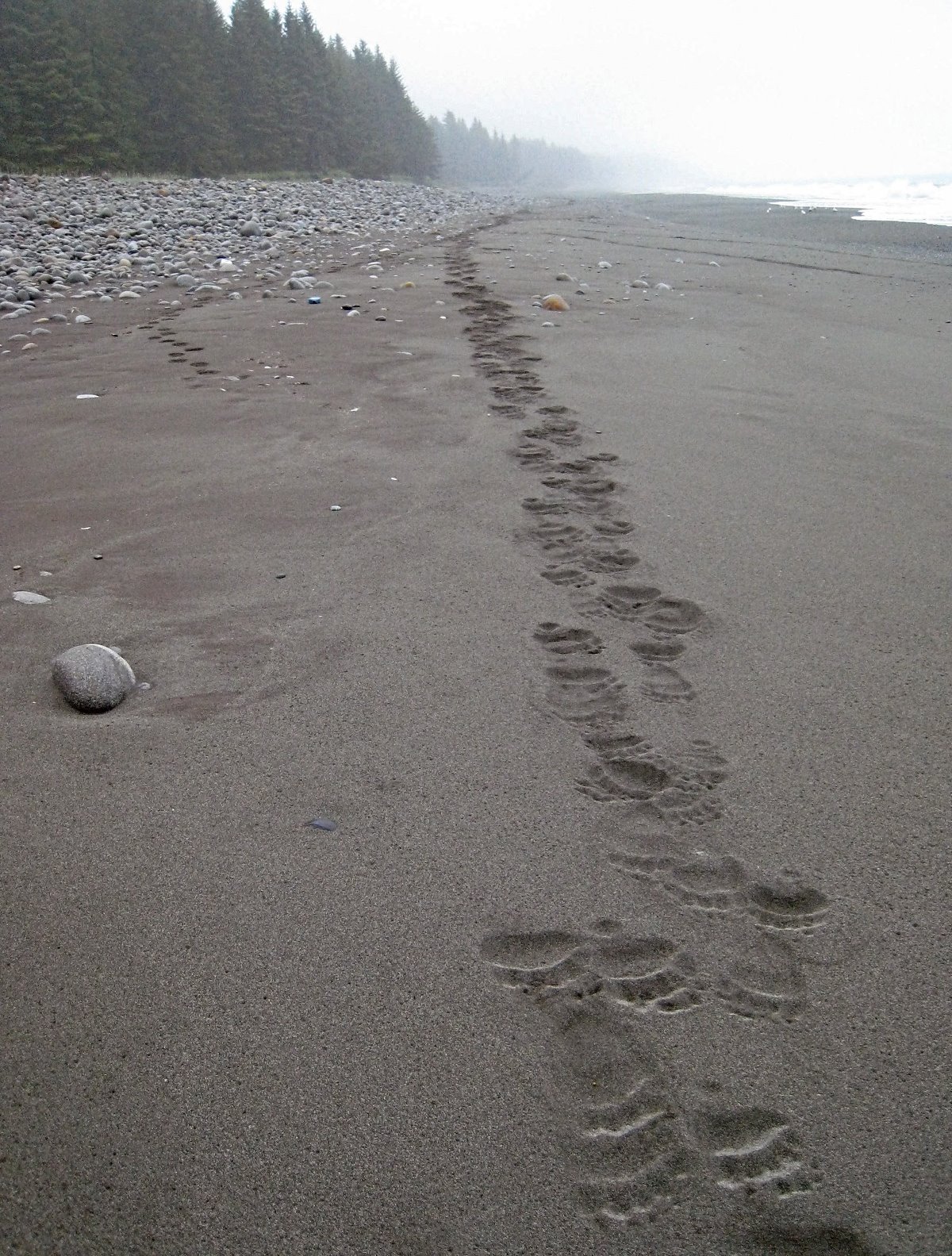
Brown bear tracks.
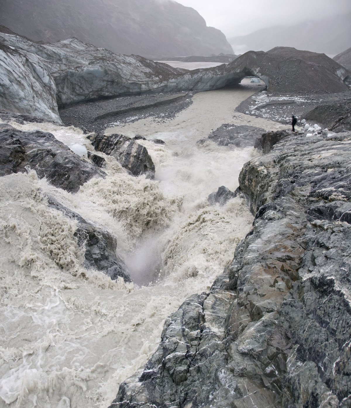
An ice tunnel melted away, leaving only the ice bridge in the distance.
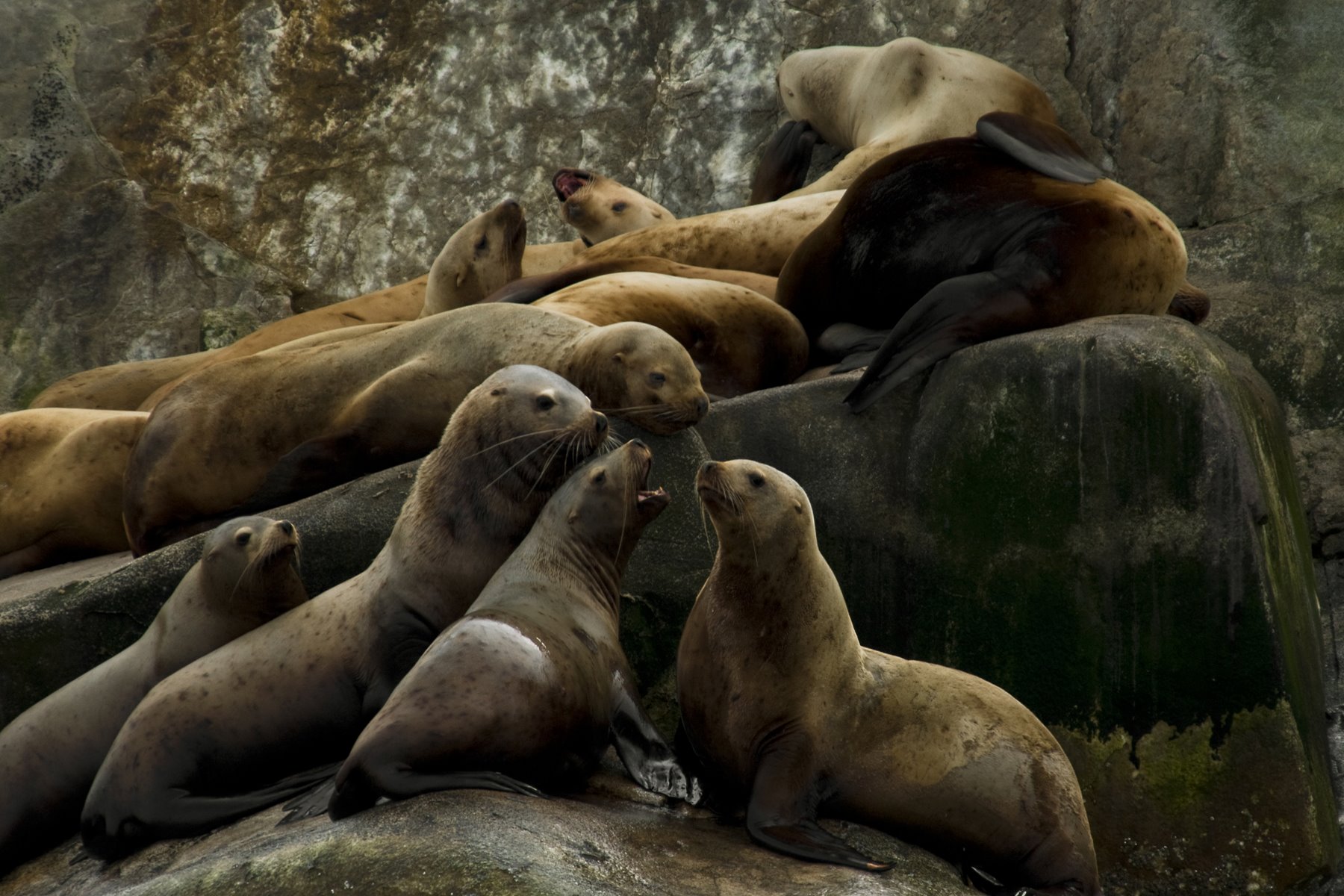
Steller sea lions gather on South Marble Island.
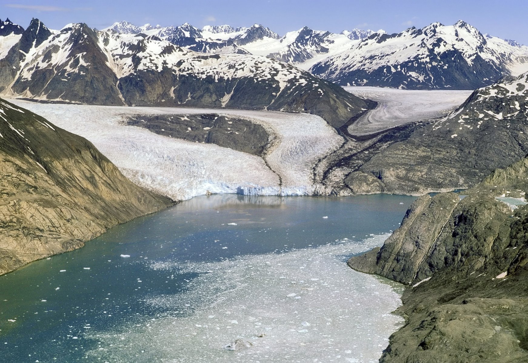
Riggs Glaciers tidewater front separated from Muirs in 1961 and was still calving into the sea in 1967.

Forest remnant south of Geikie Inlet has been cleanly sheared off below 1600 feet.
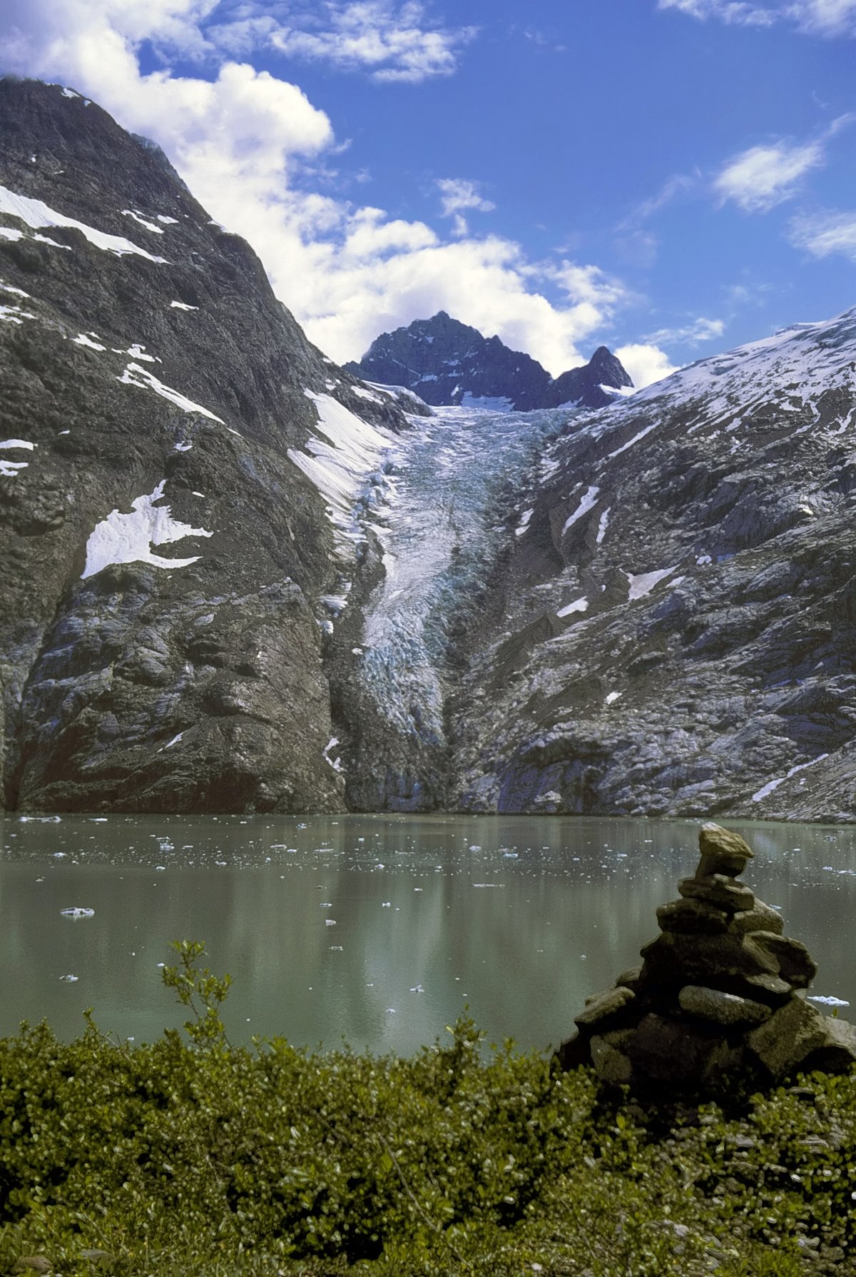
Johns Hopkins Inlet to Kashoto Glacier on July 14, 1967.
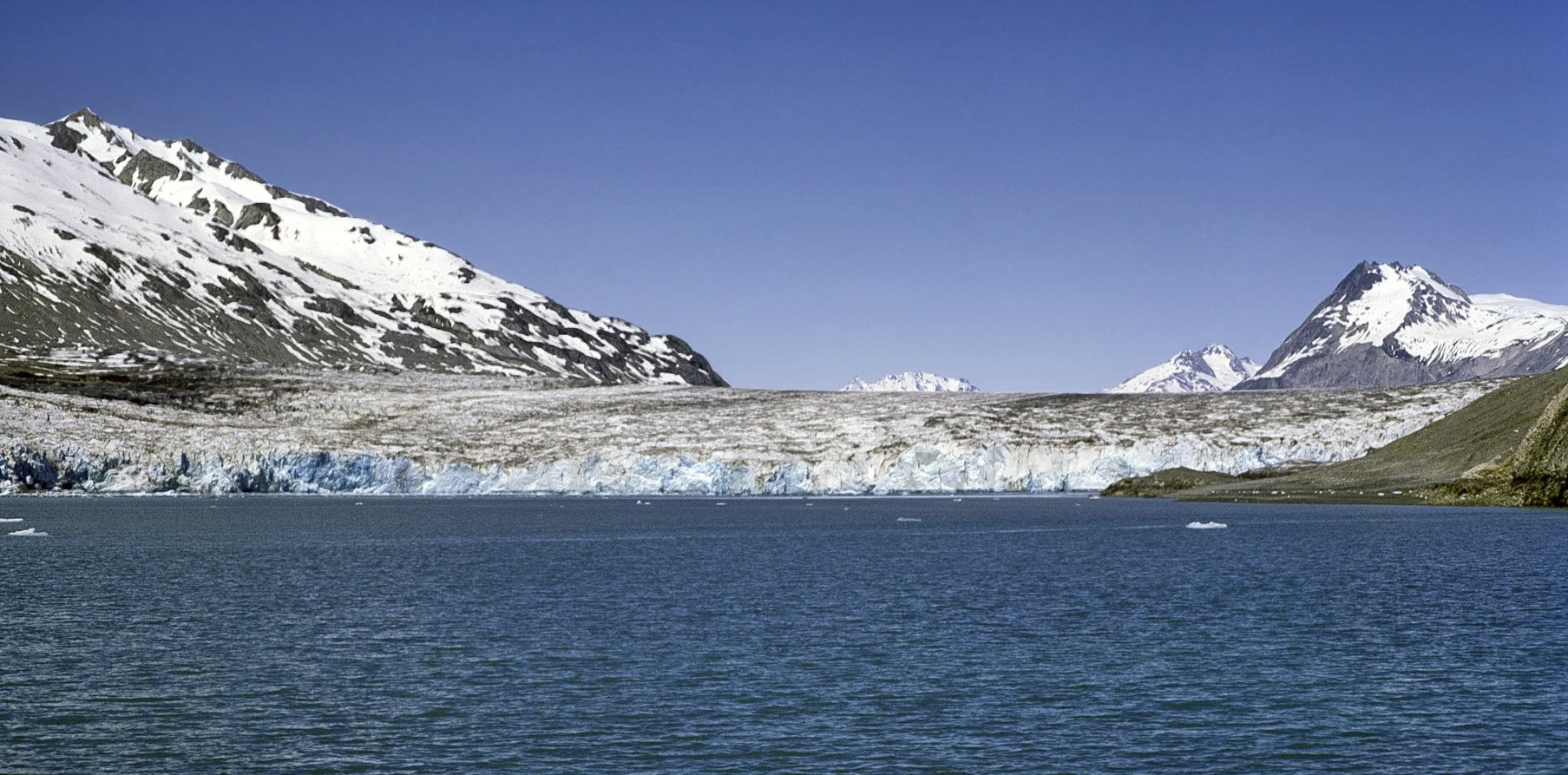
Plateau Glacier in Wachusett Inlet on June 5, 1967.

Reid Inlet during the winter of 1967-68
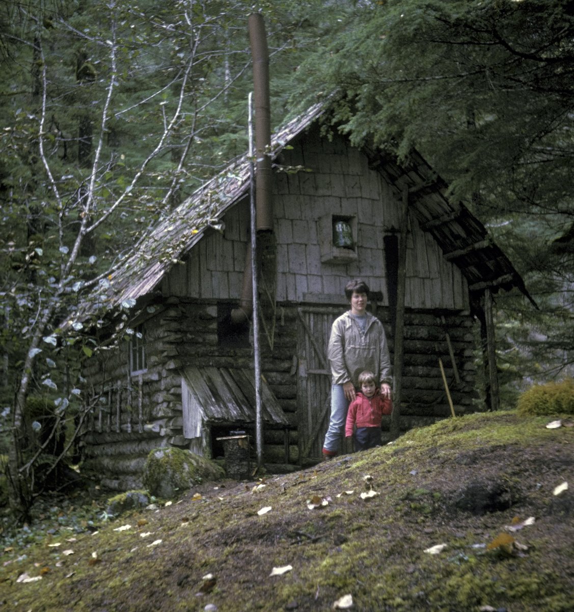
Charlie Parkers prospecting cabin at Indepencence Lake.
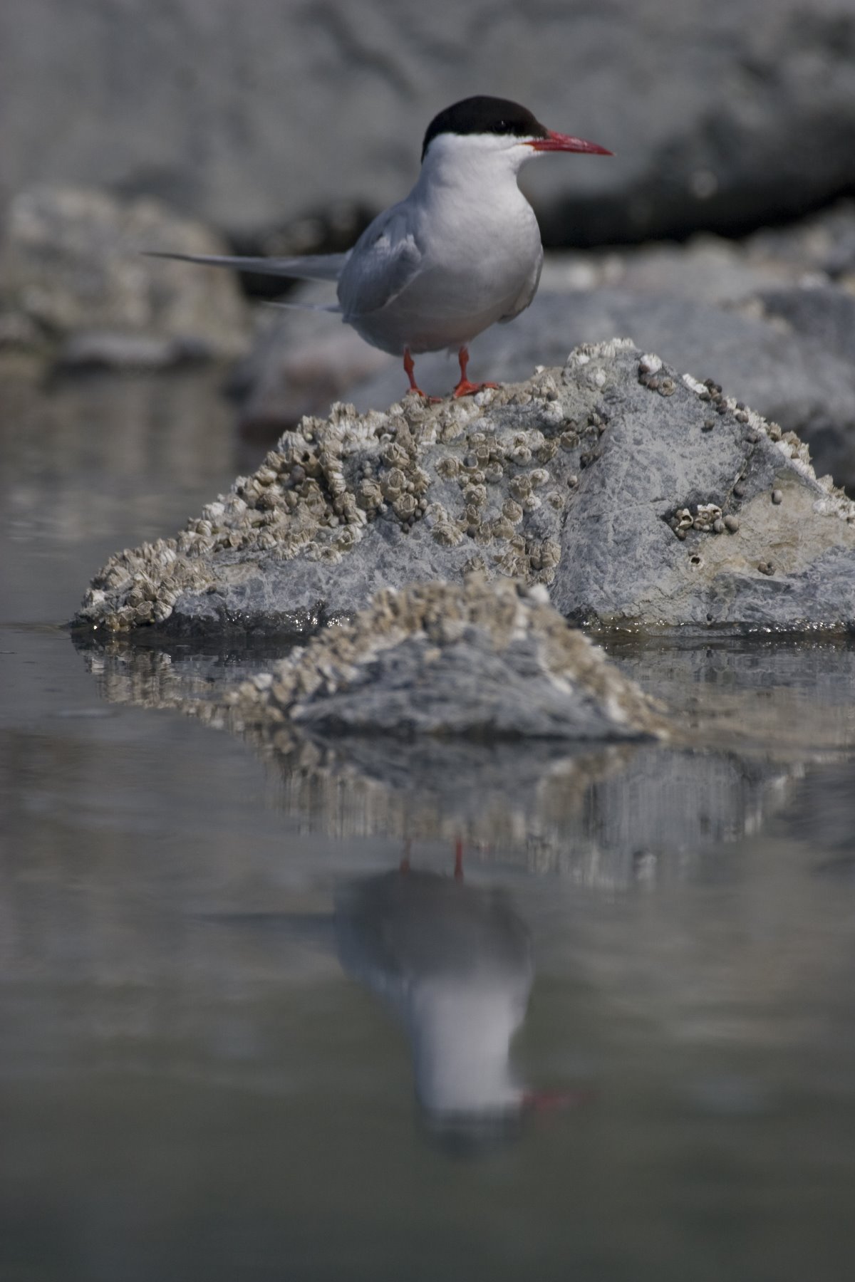
Arctic Tern
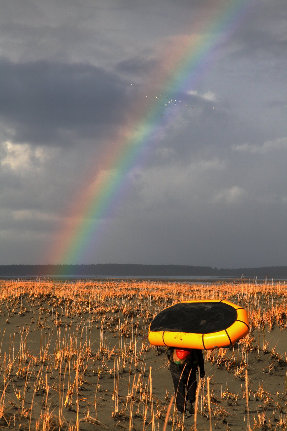
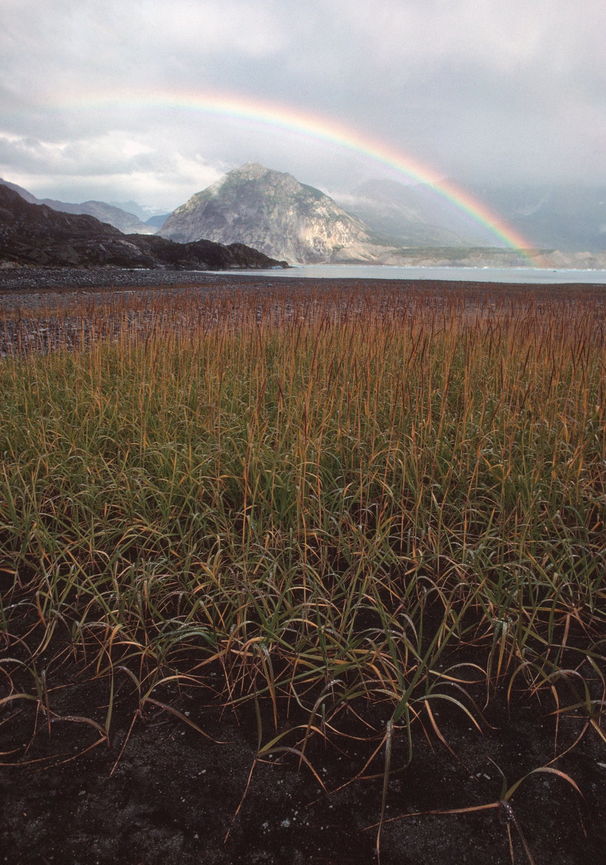
A rainbow glows against the dark grey sky, towards the crossing of Alsek River at Dry Bay
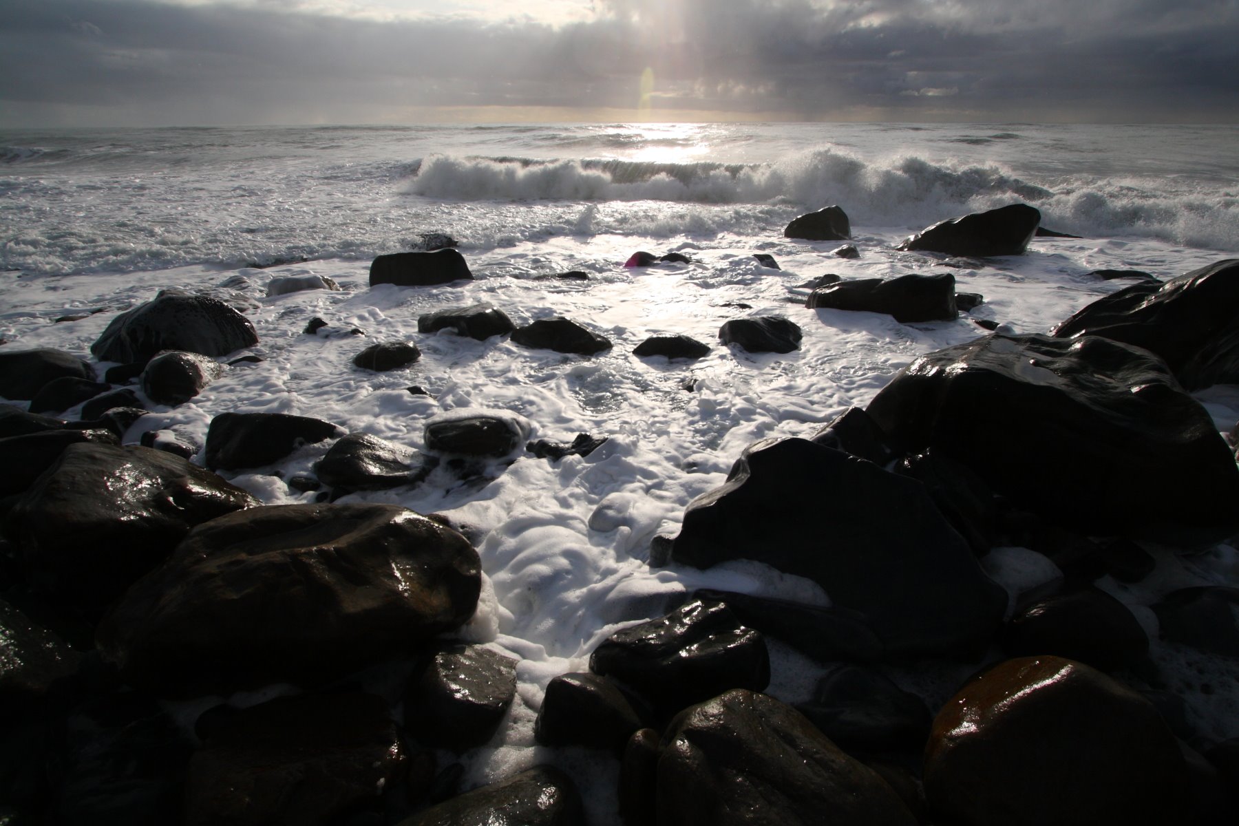
Boulders on the outer coast beach.
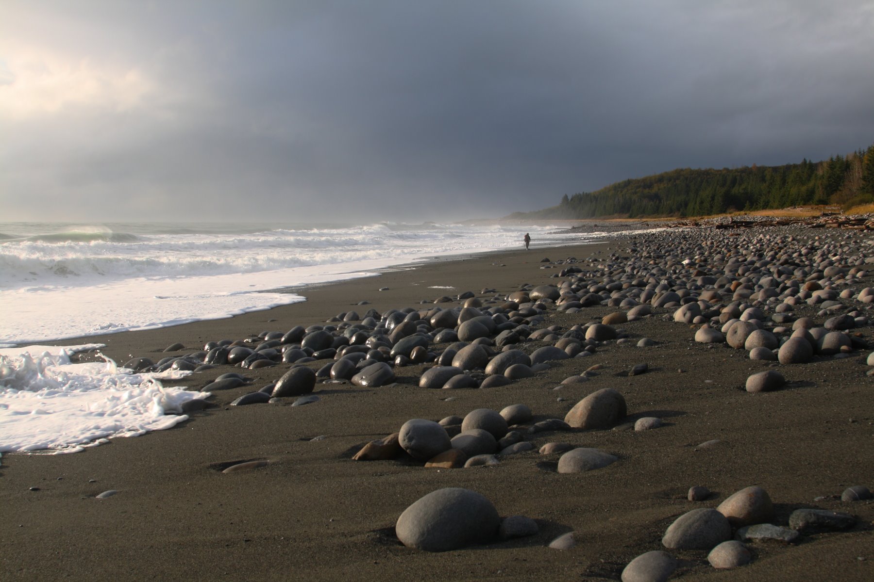
Surf crashes on the cobbles and sand near Cape Fairweather.
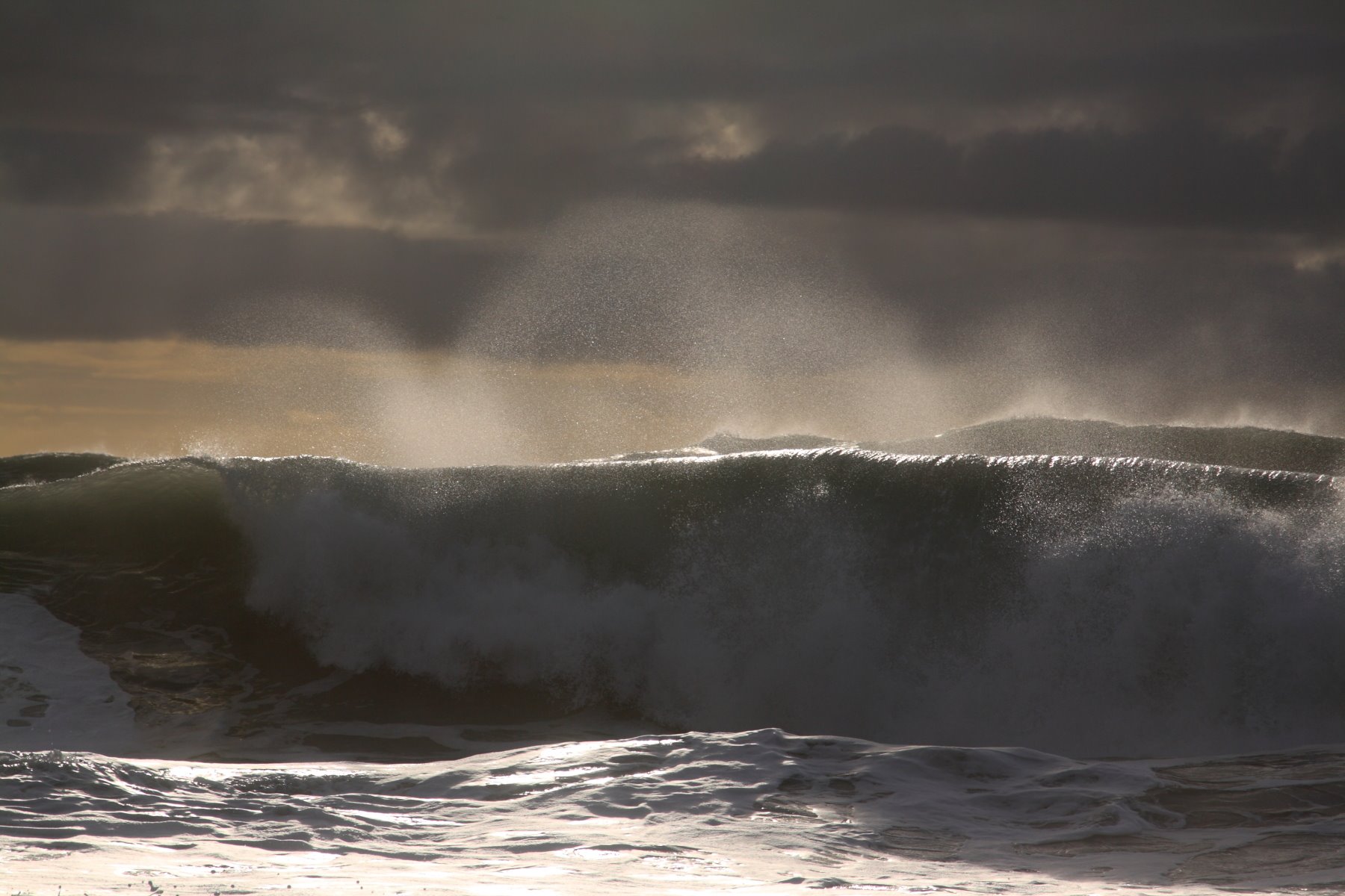
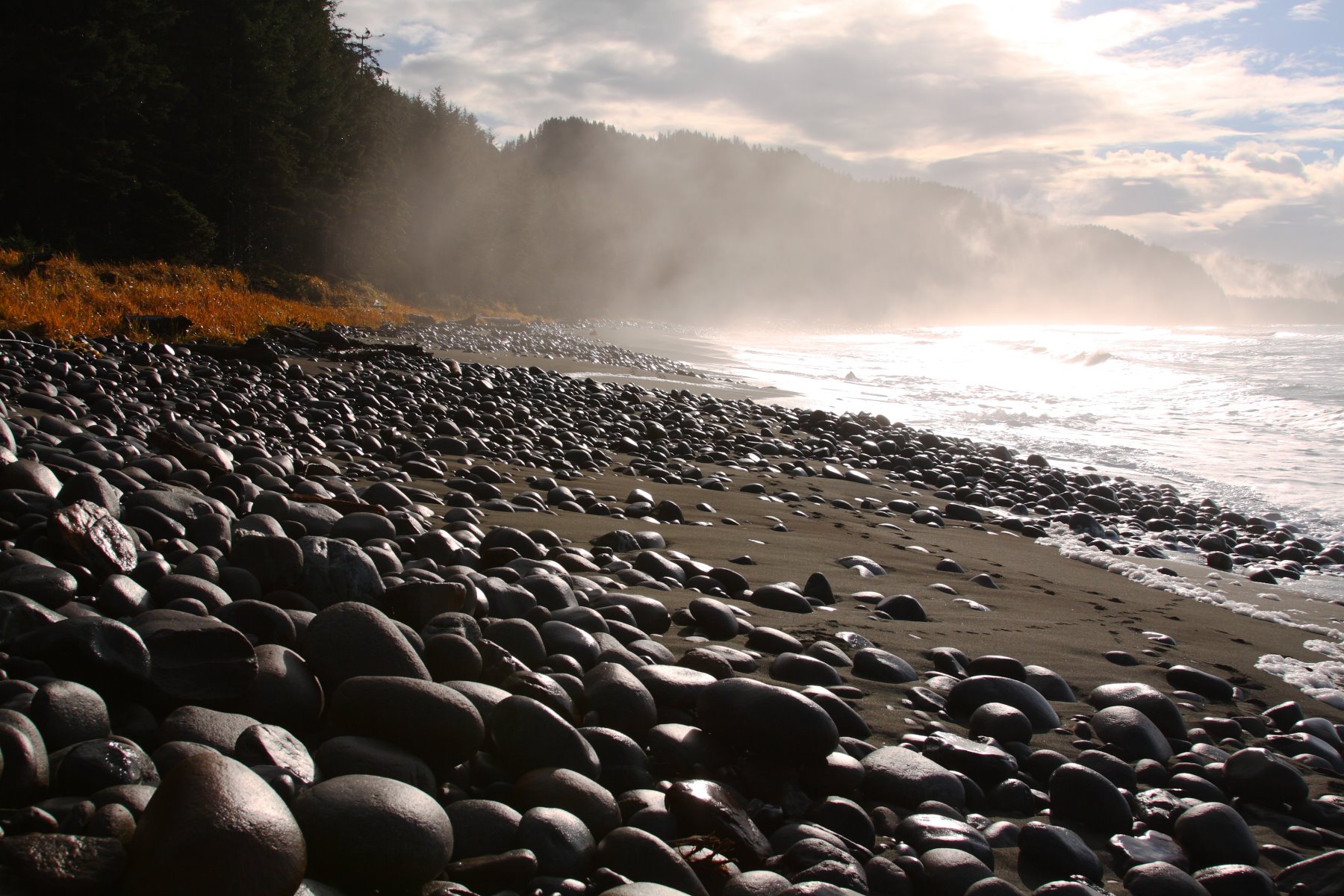
Wave smoothed stones at Cape Fairweather.
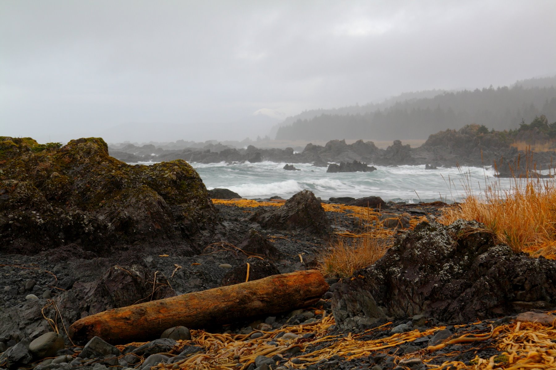
Icy Point – Glacier Bay Park’s rugged outer coast.
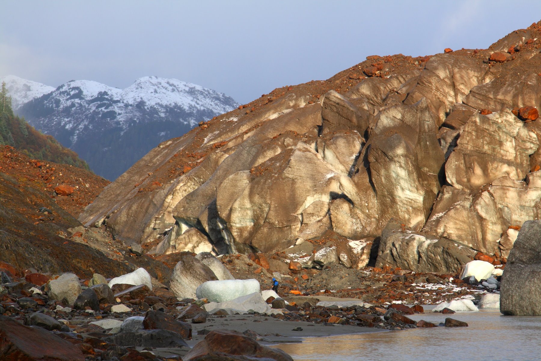
Brady Glacier – As the ice retreats, it provides a narrow passage to walk along its side.

Aerial view from over Muir Glacier on April 11, 1968
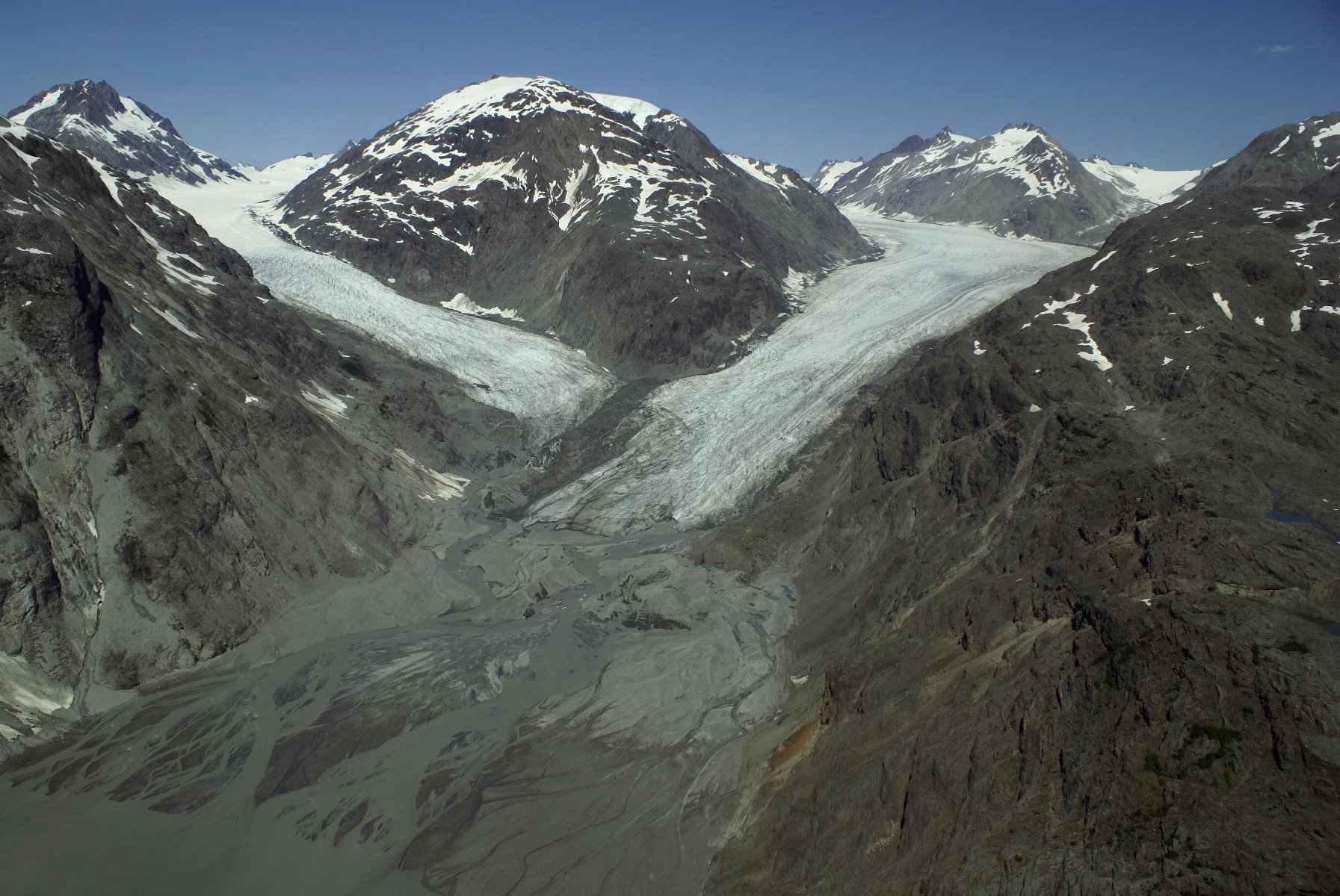
Muir Glacier in 2007 is no longer a tidewater glacier; it has retreated.
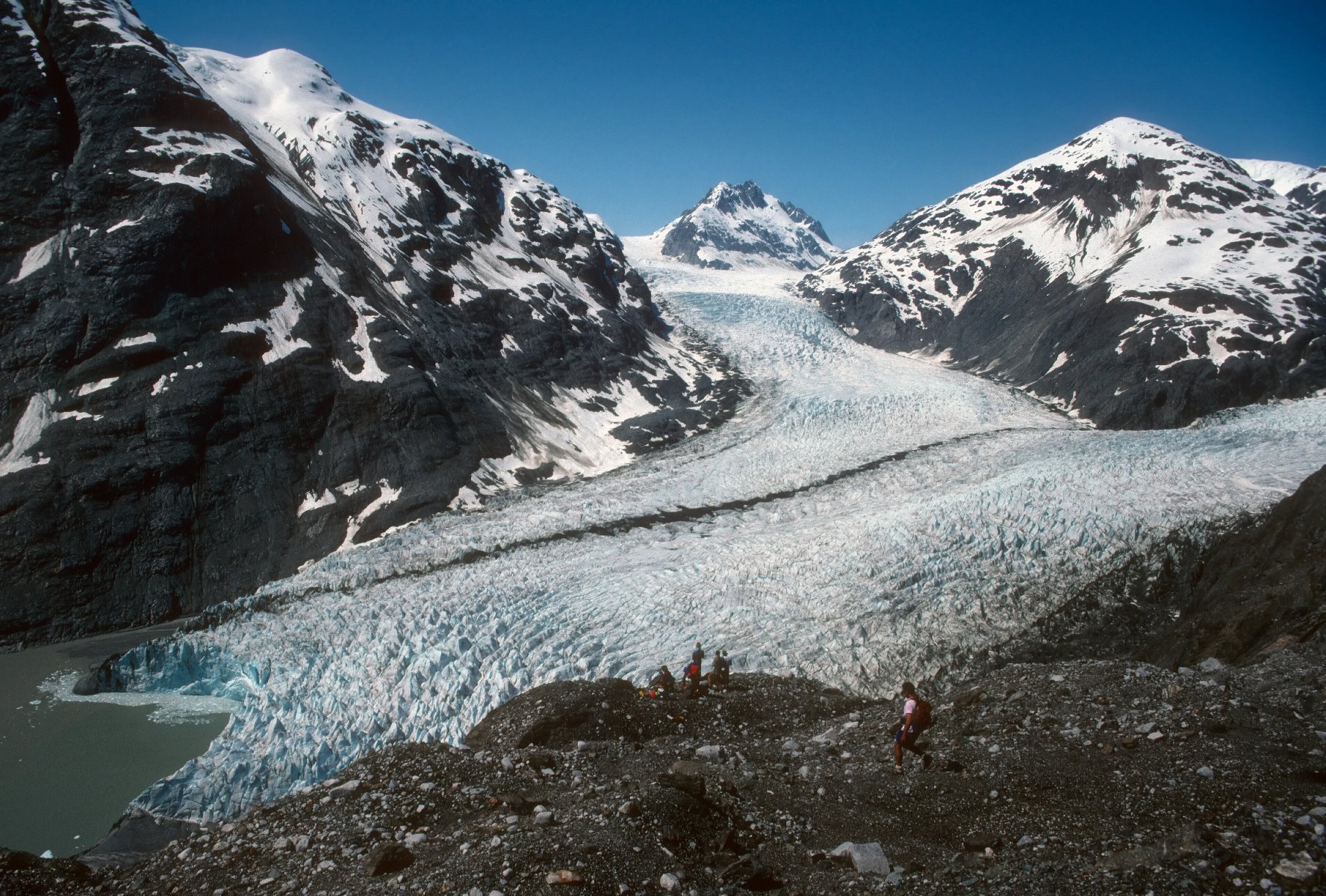
Muir Glacier in 1991.
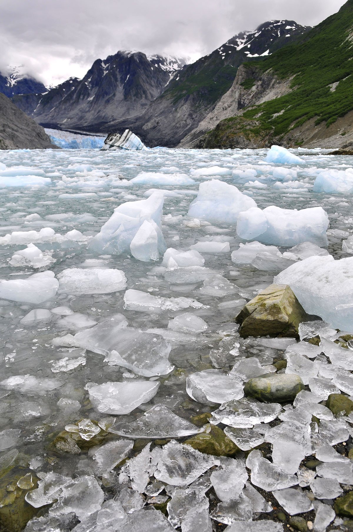
McBride Glacier.

Brittle star, a limpet and coralline algae. Brittle stars use their highly flexible arms in a whip motion to move across the rocks and seafloor, unlike sea stars which use tube-like feet.
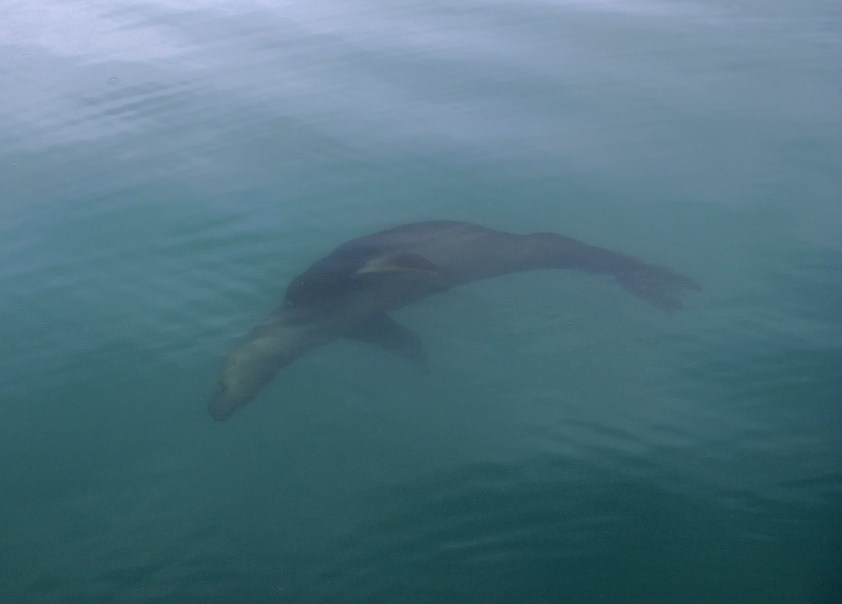
Steller sea lions.
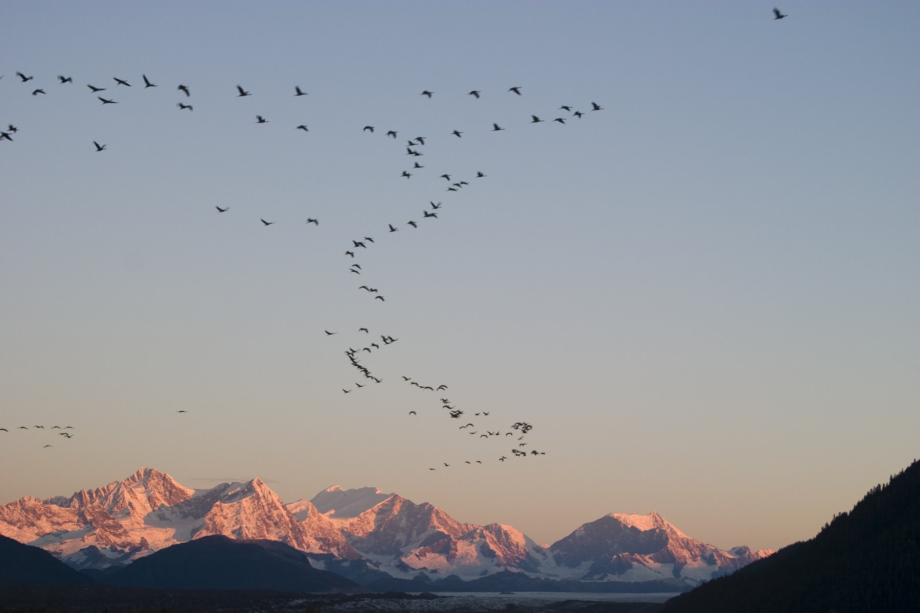
Sandhill cranes stop over in Glacier Bay as they migrate.
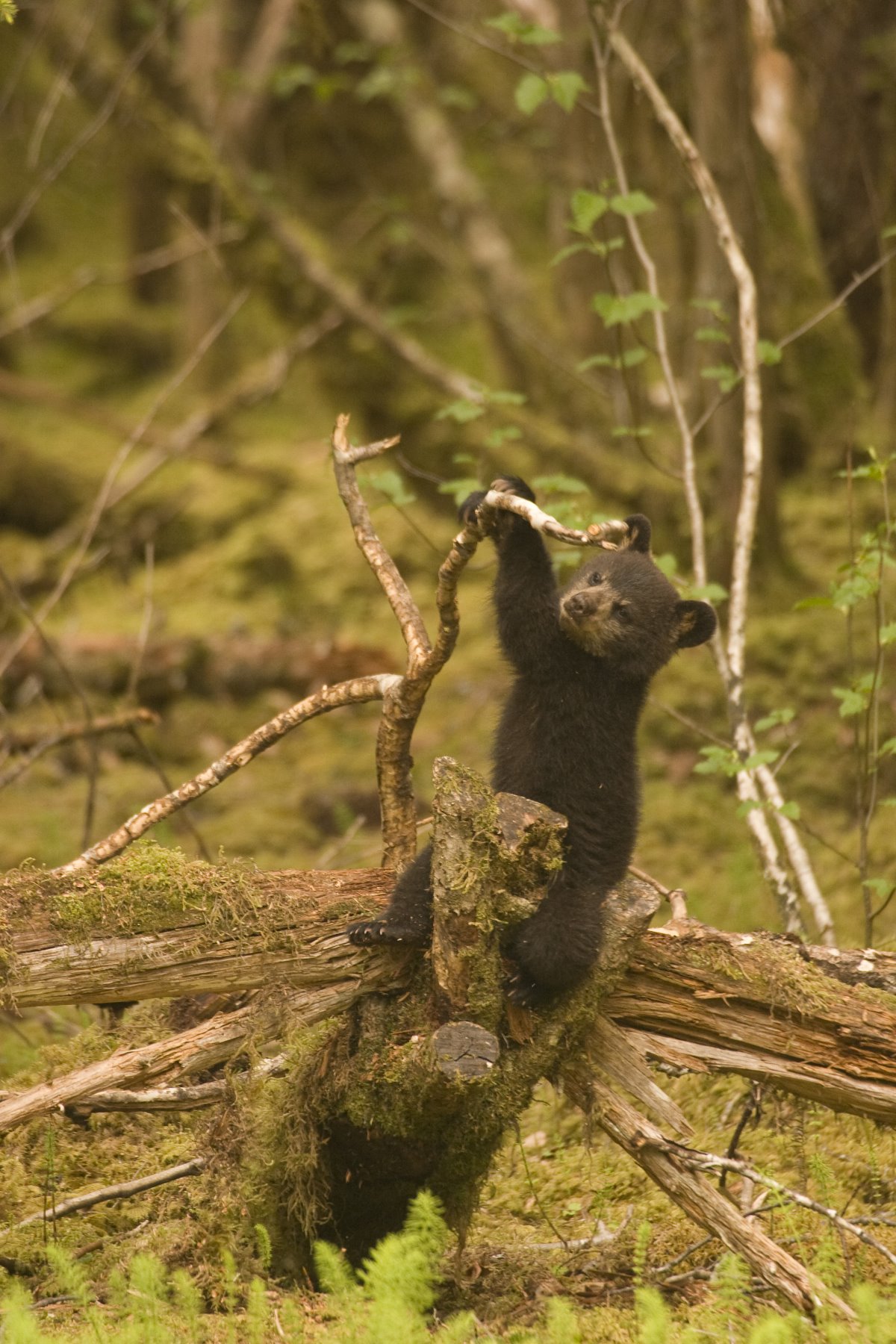
Black bear cub playing with a fallen log.
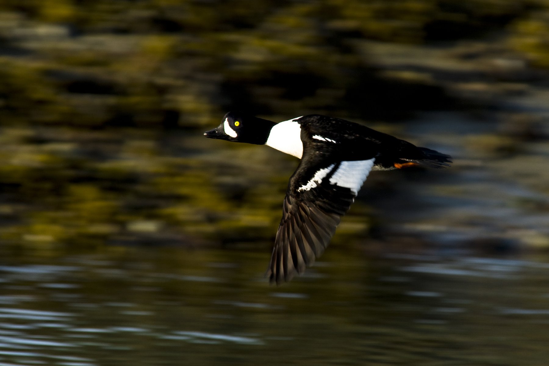
Barrow’s Goldeneye.
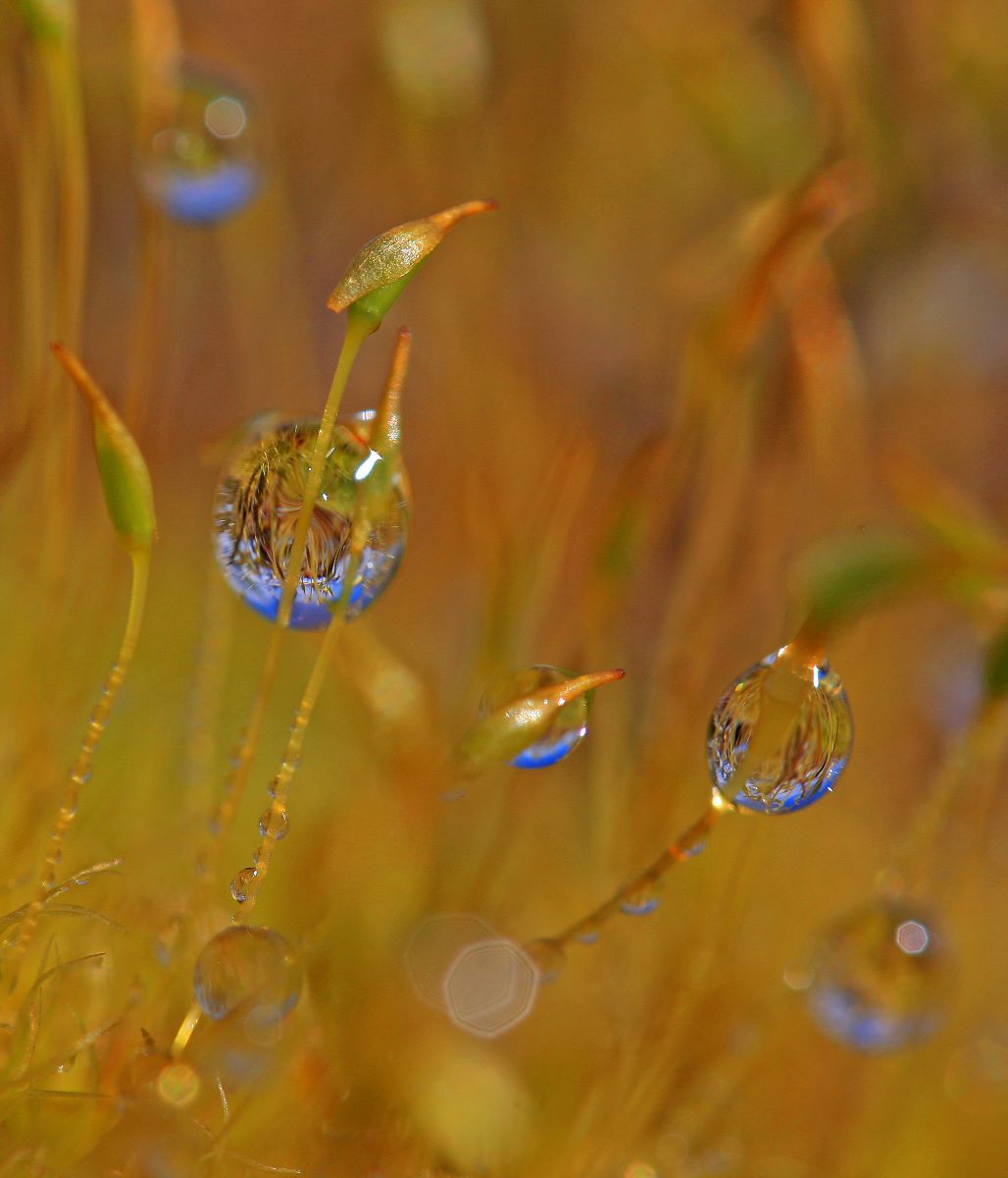
Dappled with dew, emerald mosses throughout Glacier Bay National Park blanket the rocks, ground and trees.
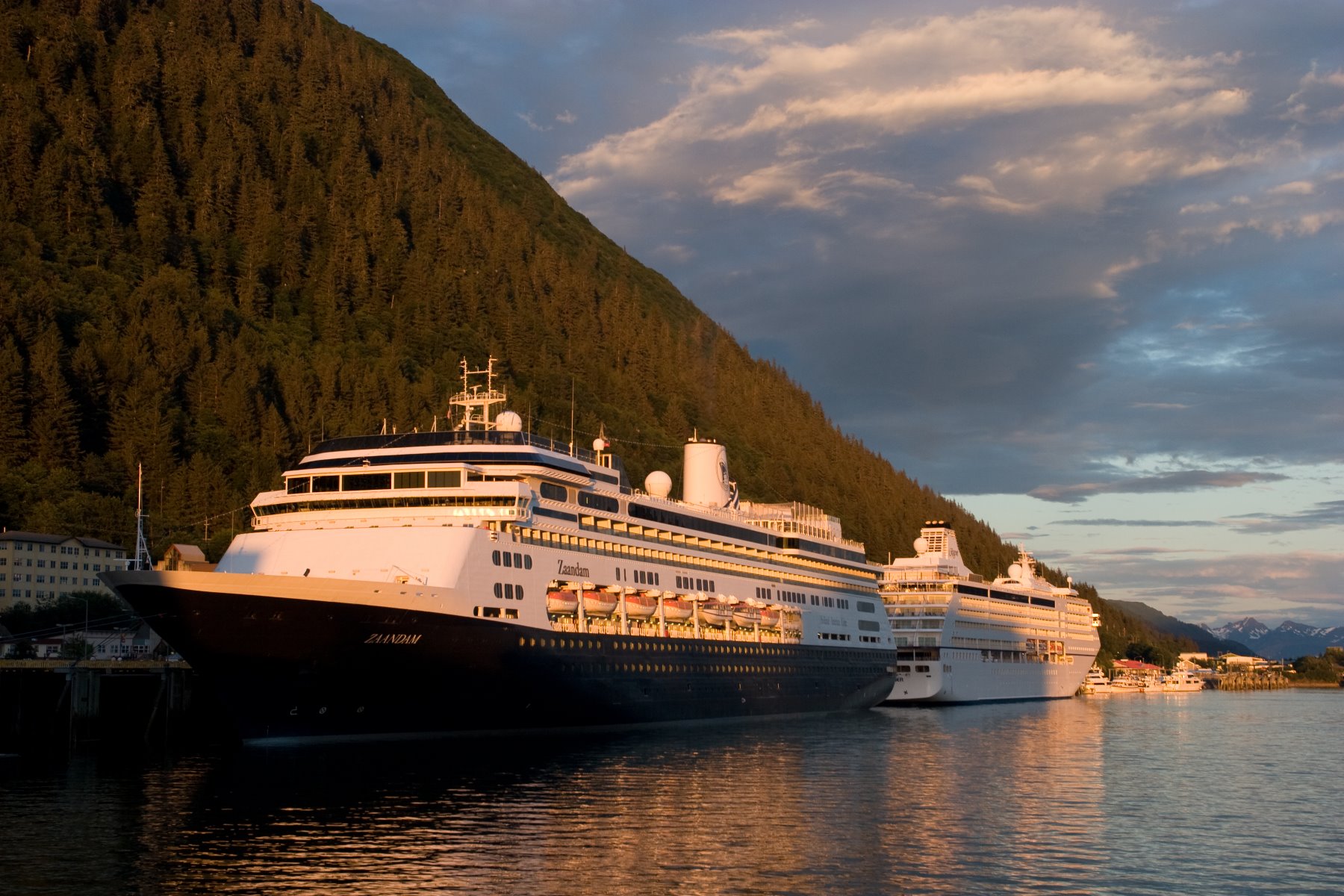
Docks in downtown Juneau.
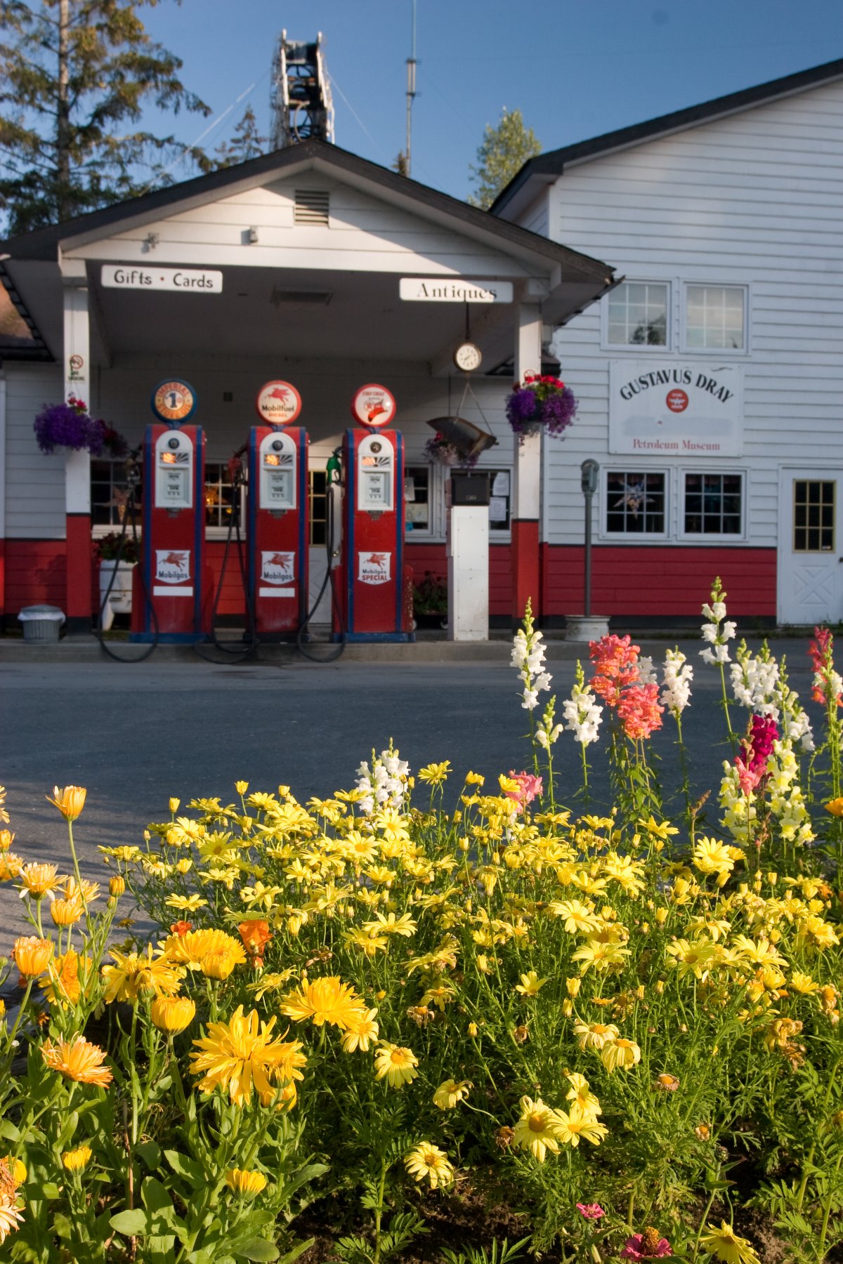
1950s era gas pumps in Gustavus.
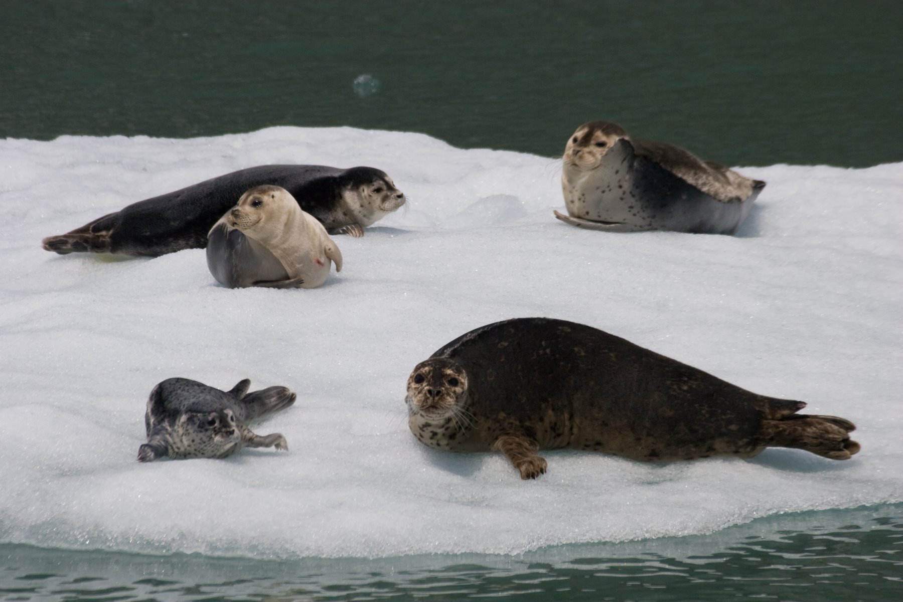
Harbor seals haul out on the ice and rest for extended periods of time.
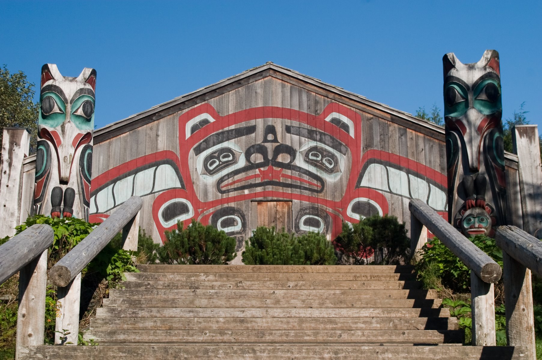
Clan House at Saxman Totem Park.
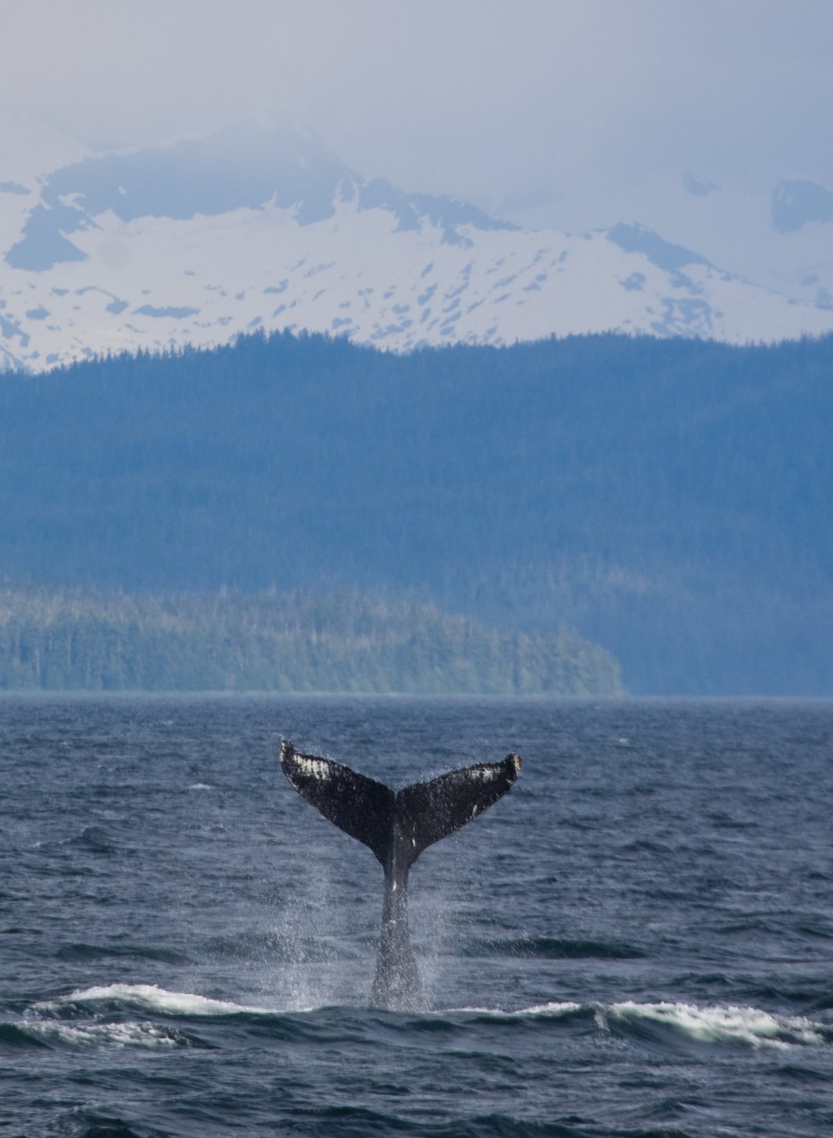
Humpback whales engaging in tail-lobbing.
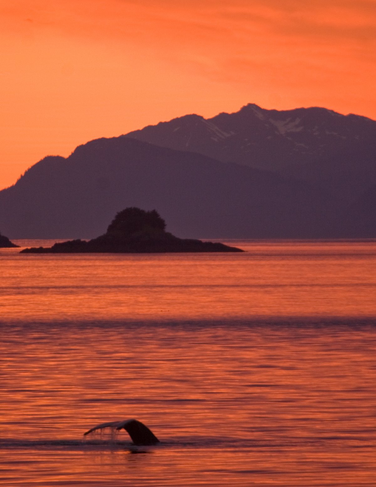
Sunset in Frederick Sound.

The powerful twisting arc of a breaching whale.
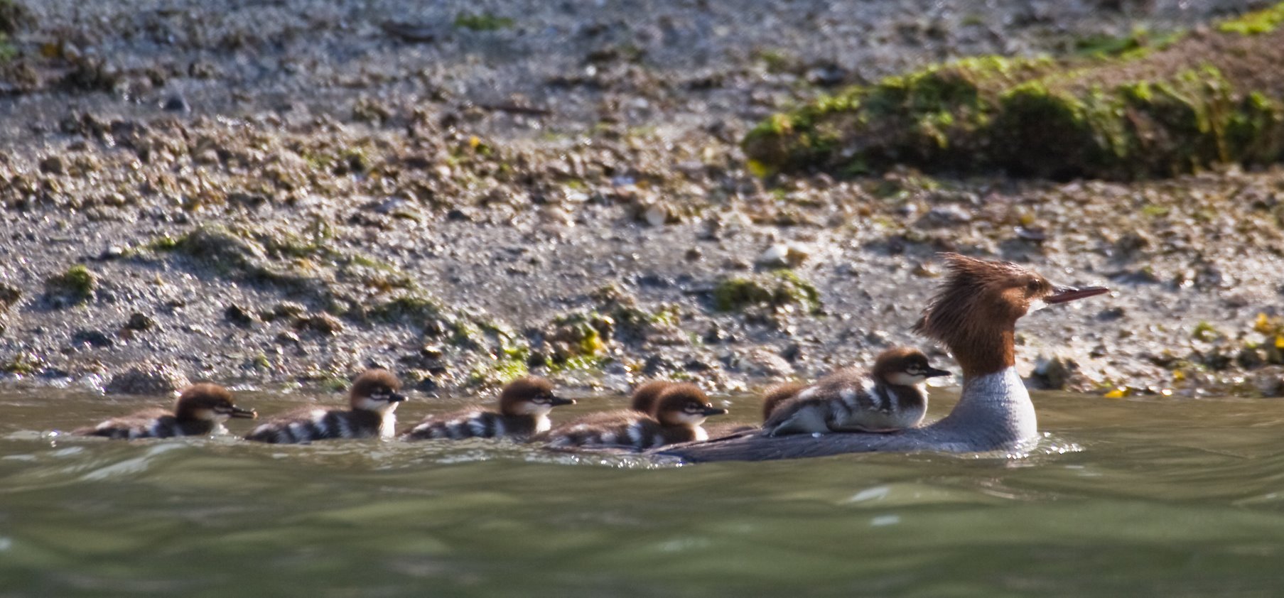
Red Bluff Bay is one of many seldom-visited, yet spectacular inlets tucked among the islands of Southeast Alaska.
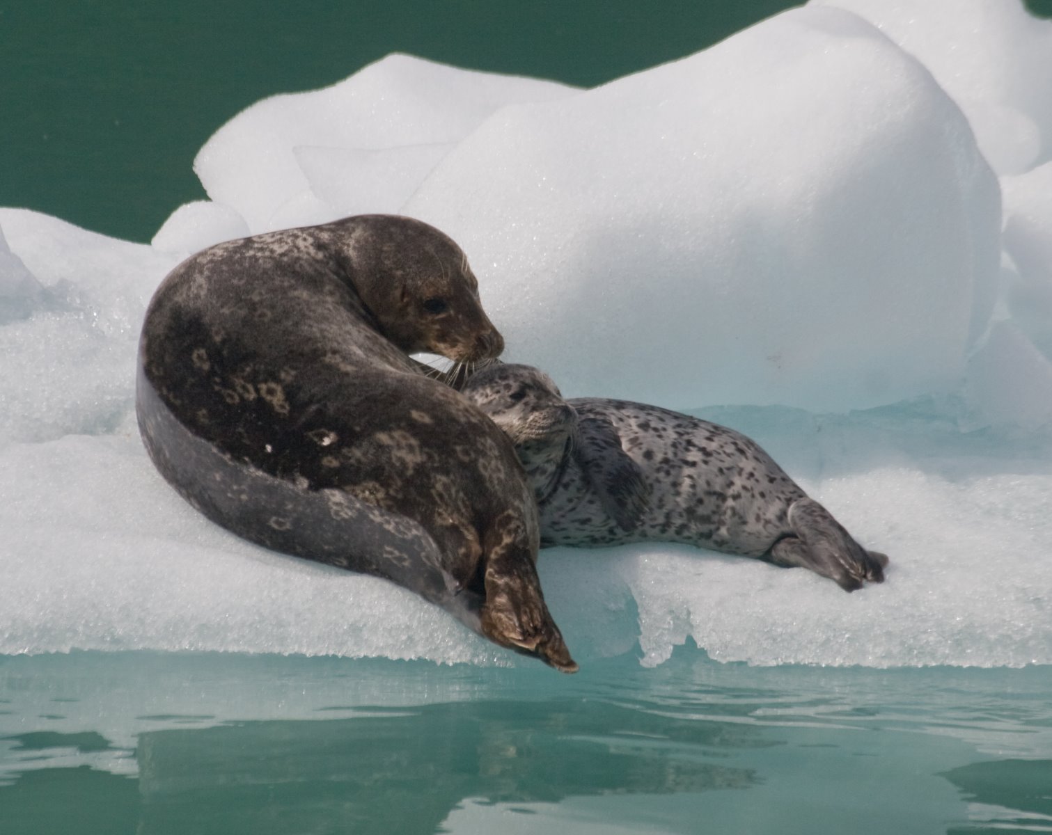
Harbor seal pups in May and June.
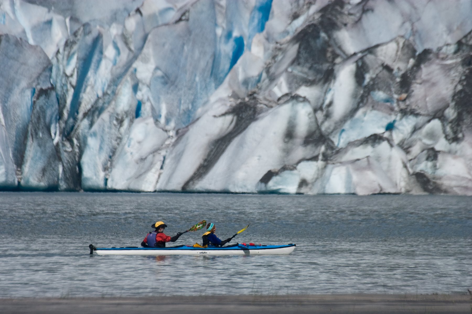
Mendenhall Glacier via kayak.
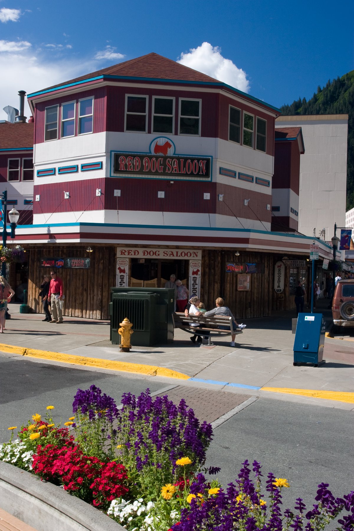
Downtown Juneau

Juneau tram- a six-minute ascent of 3,819-foot (1,164 m) Mt Roberts.
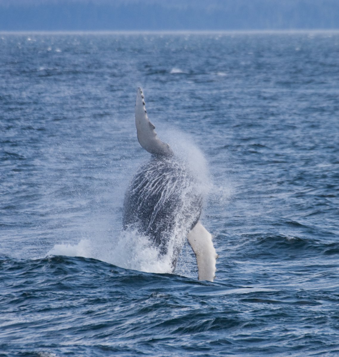
A humpback whale breaches into a strong wind turning rivulets of cascading water into a cloudy mist.
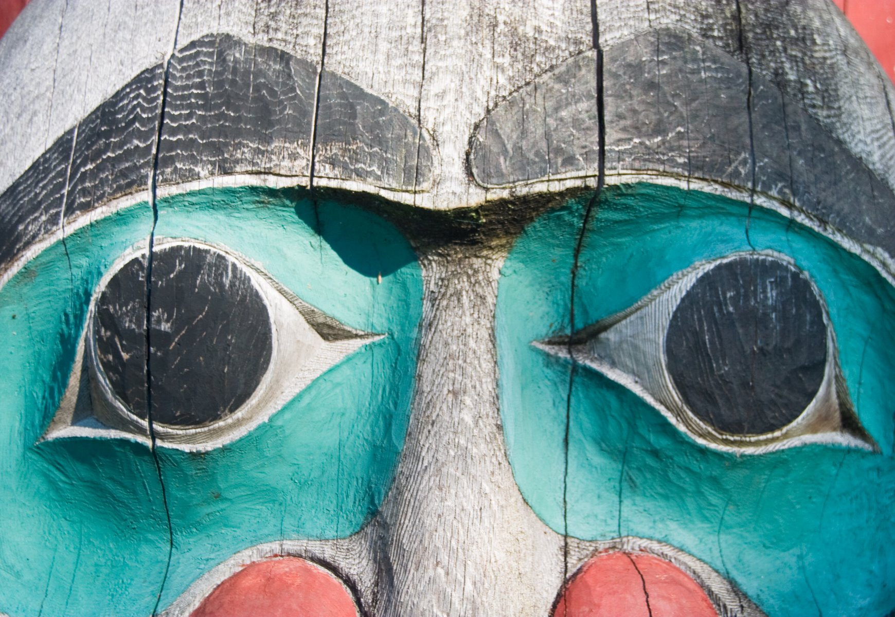
Tlingit art, totem pole.
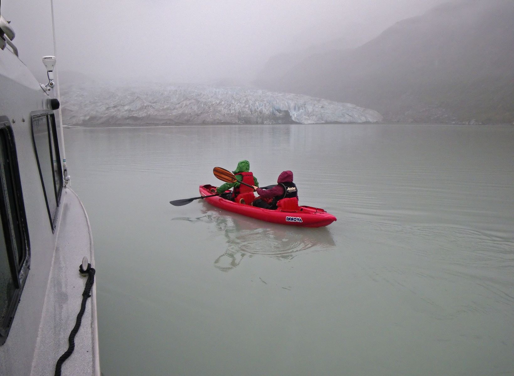
Kyaking in the fog.

Calving glacier sequence, photo 2
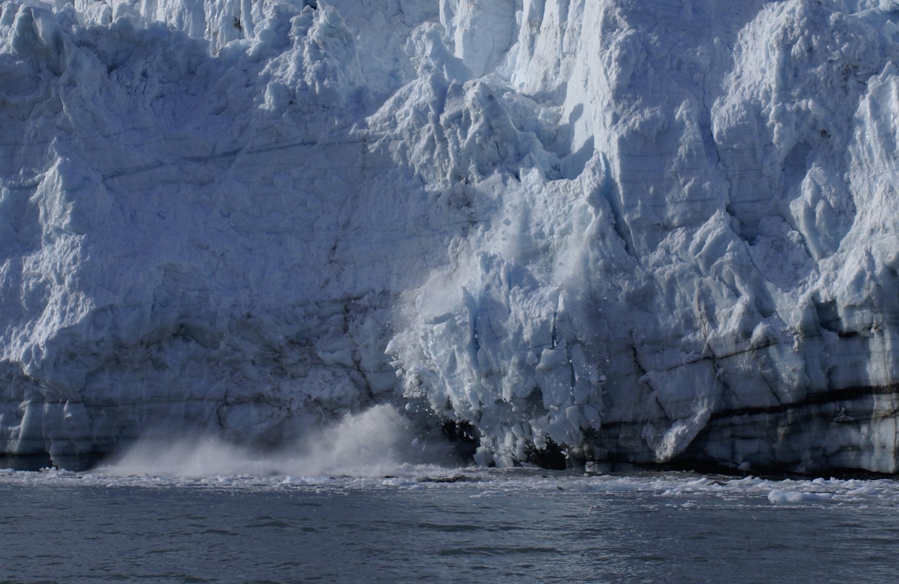
Calving glacier sequence, photo 1

Calving glacier sequence, photo 5
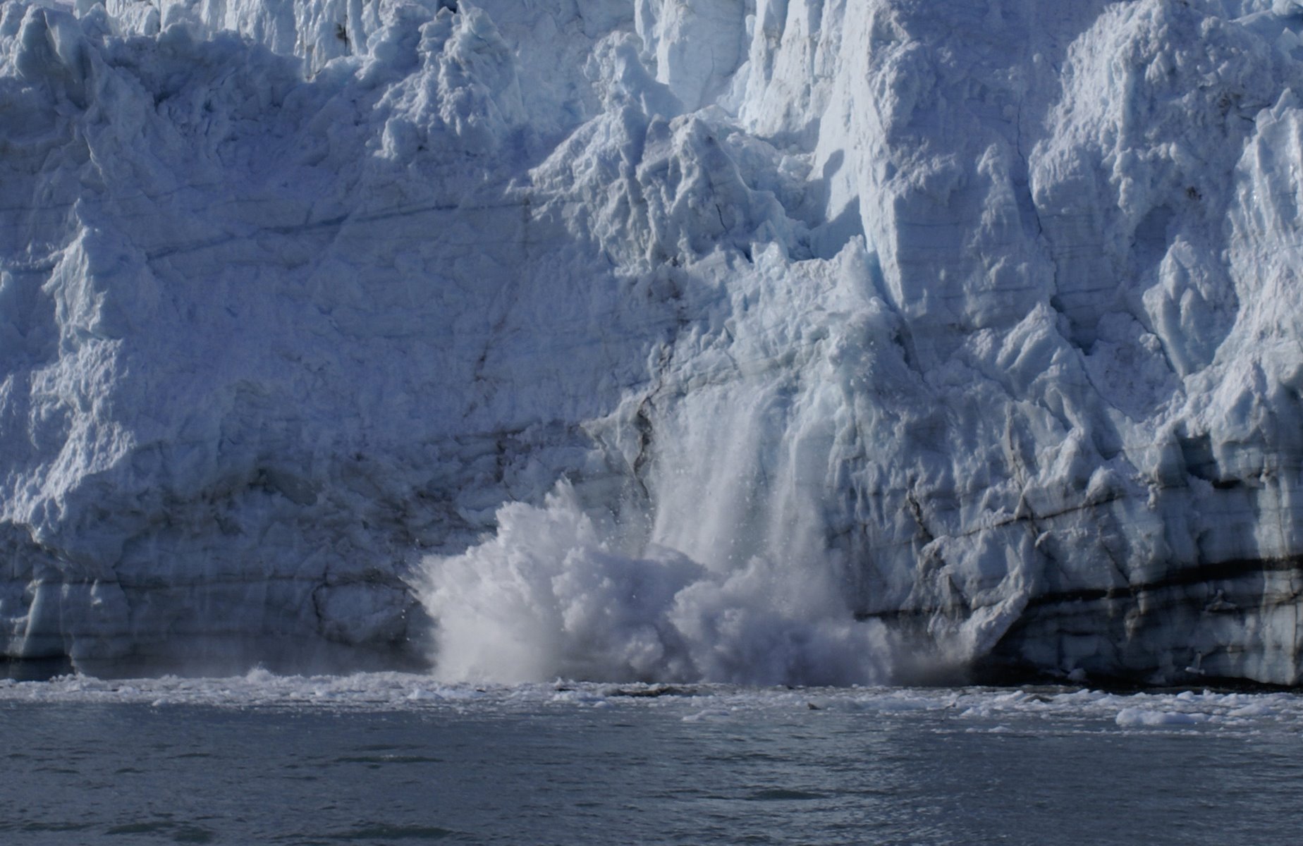
Calving glacier sequence, photo 4
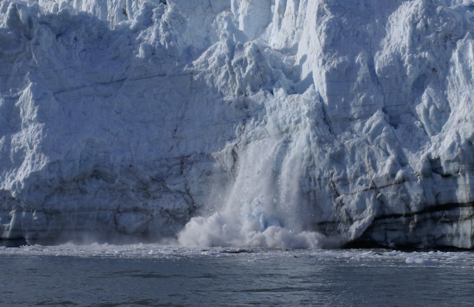
Calving glacier sequence, photo 3
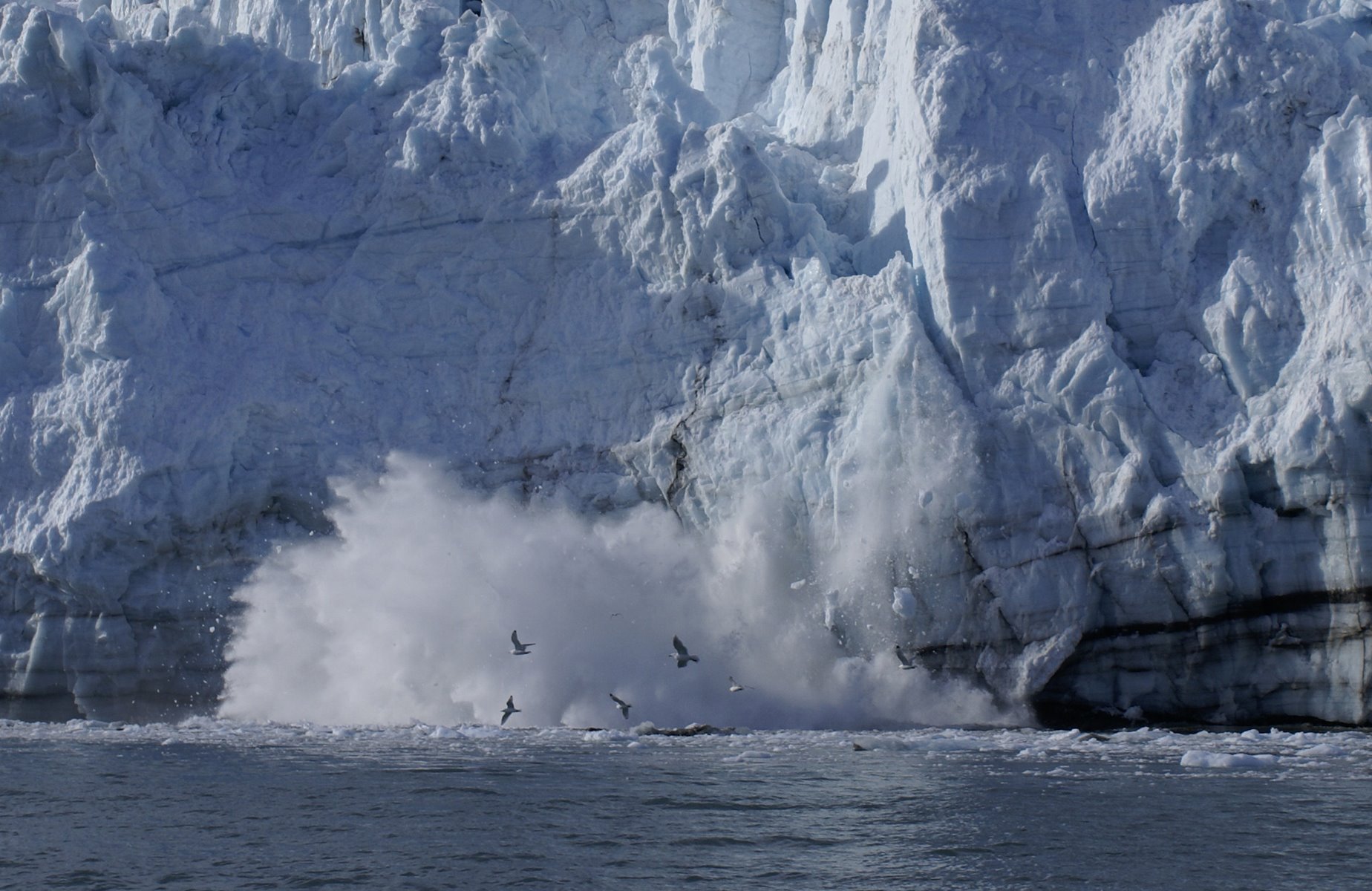
Calving glacier sequence, photo 7
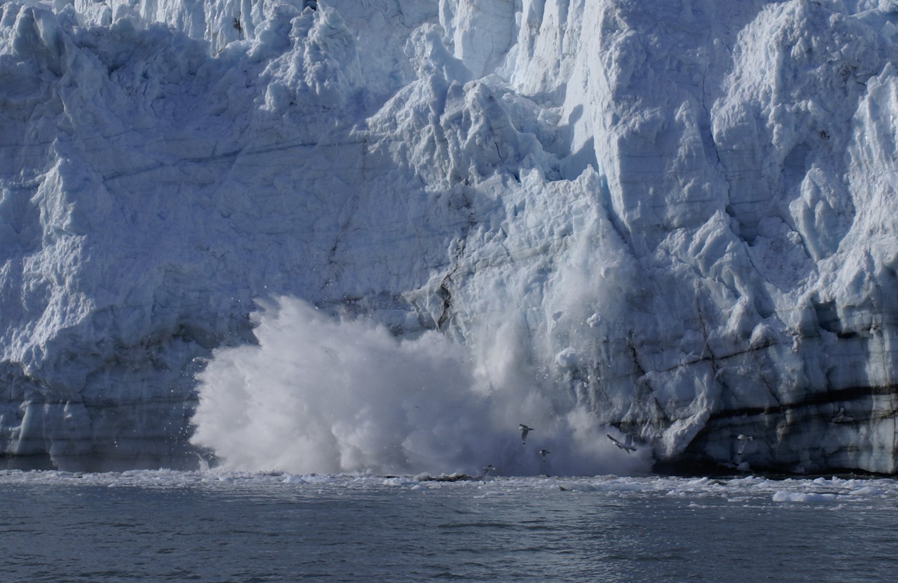
Calving glacier sequence, photo 6
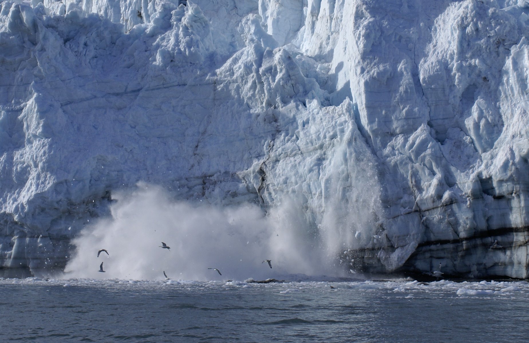
Calving glacier sequence, photo 8
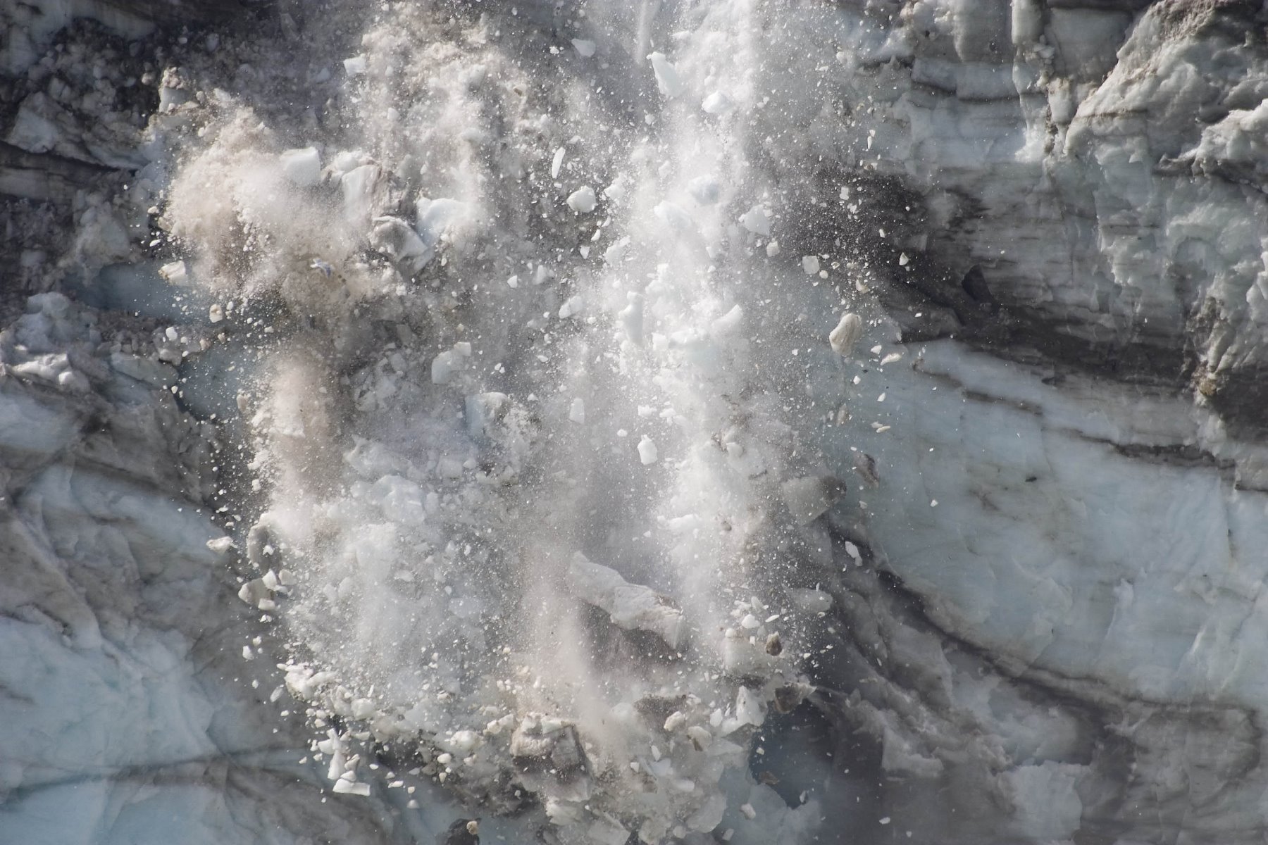
Calving glaciers!
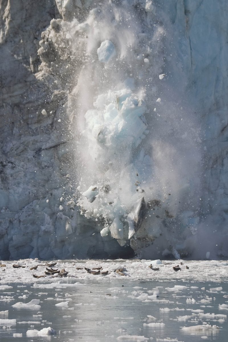
Calving glaciers!
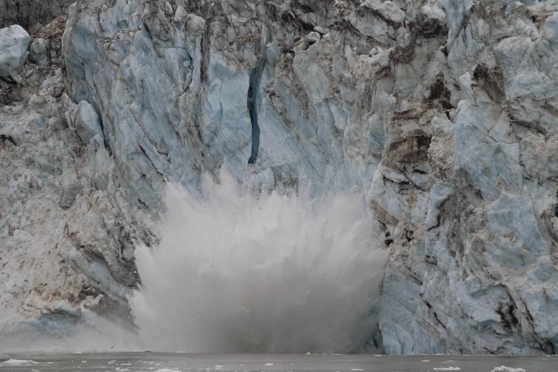
Calving glaciers!
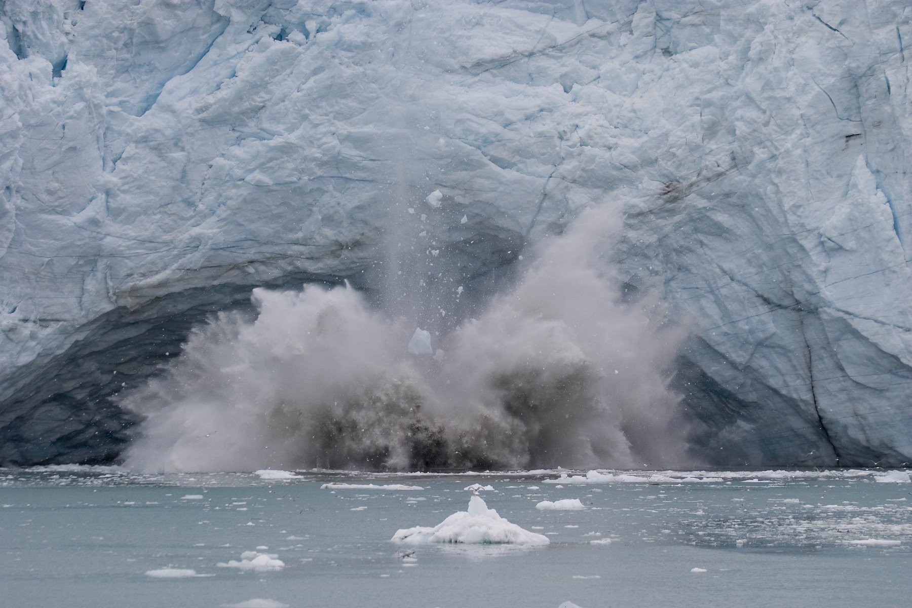
Calving glaciers!
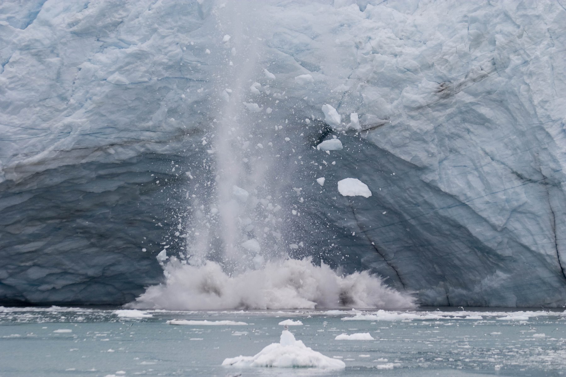
Calving glaciers!
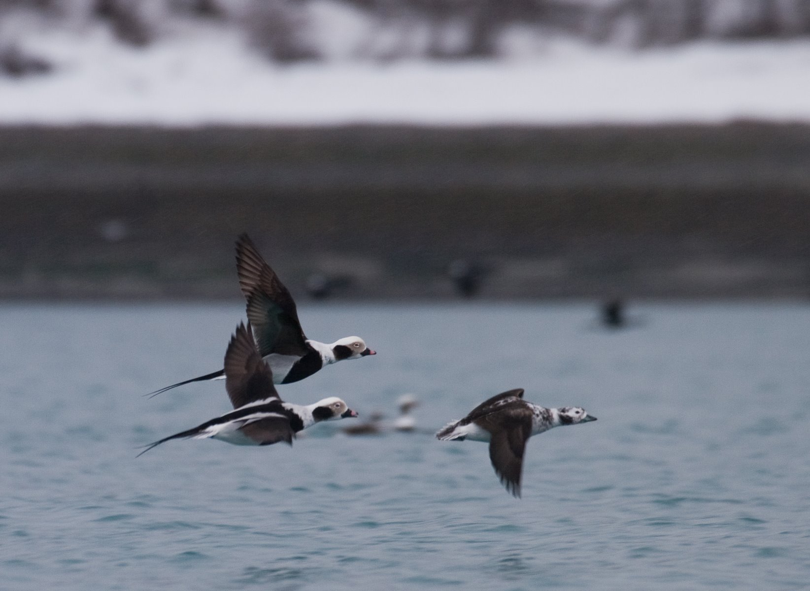
Long-tailed Ducks, formerly called Oldsquaws, congregate into groups of many hundreds of birds during the spring.
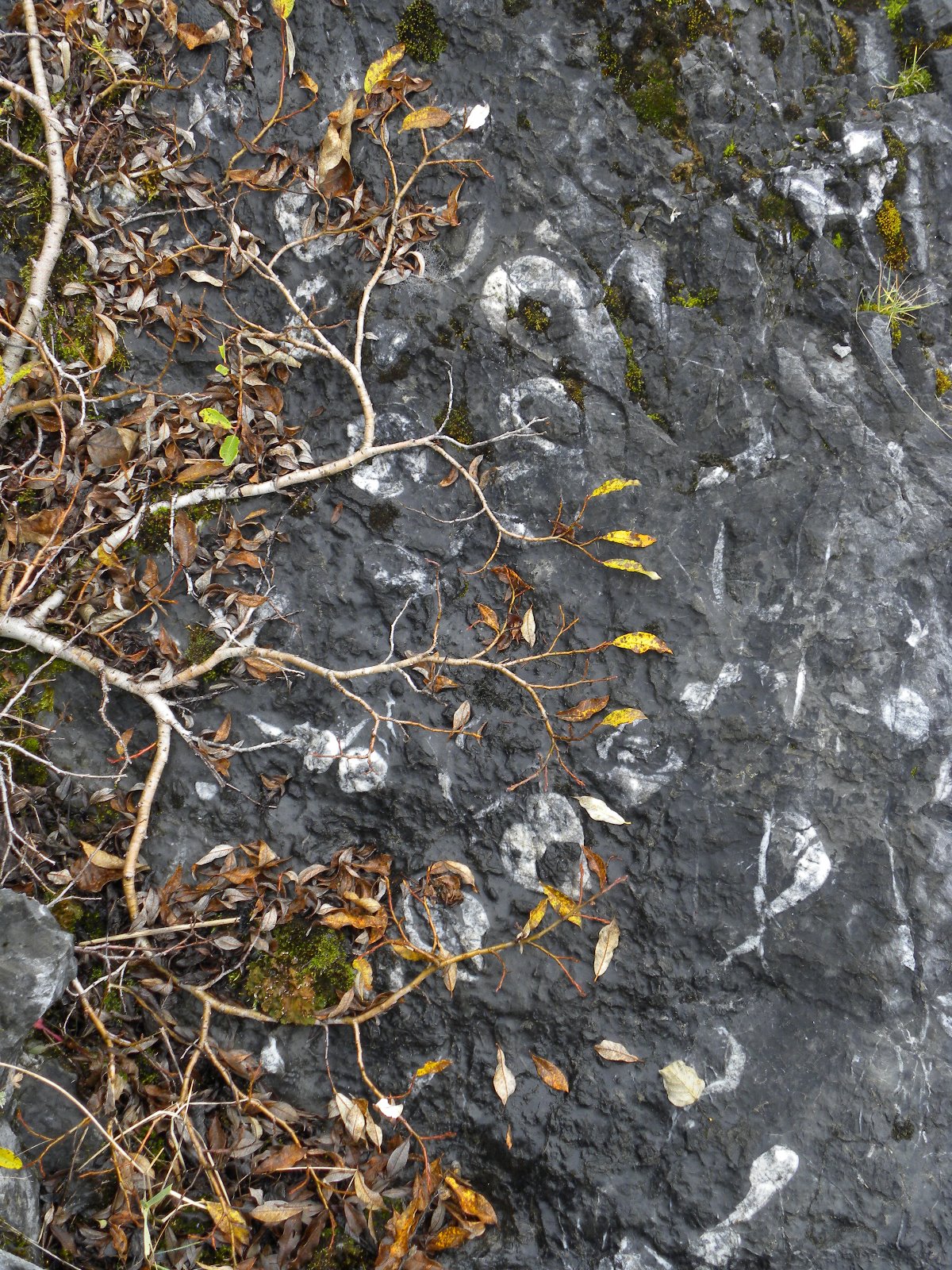
White crescent shapes in the rock are fossils.
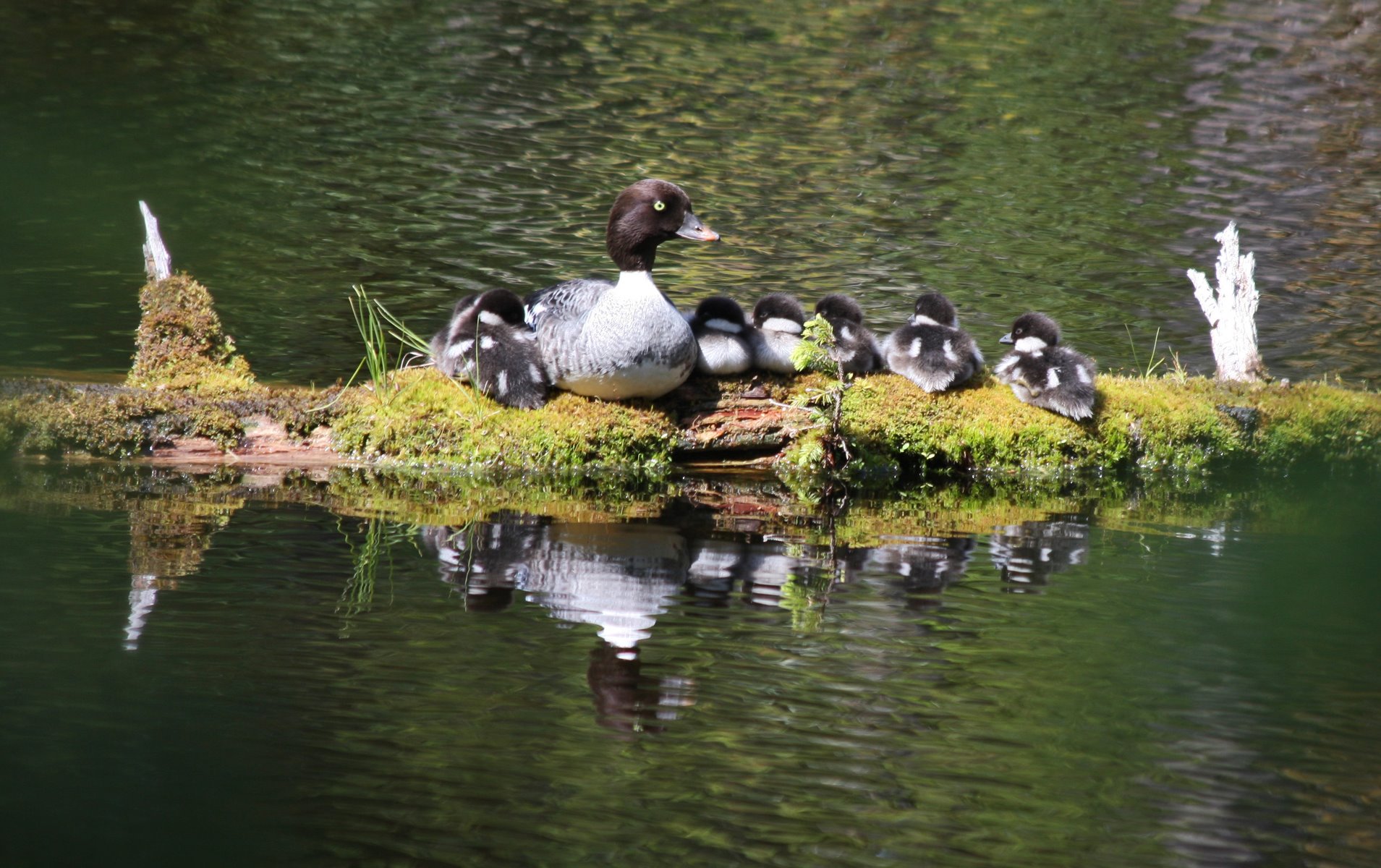
Barrows Goldeneye mother raised her ducklings near Blackwater Pond.
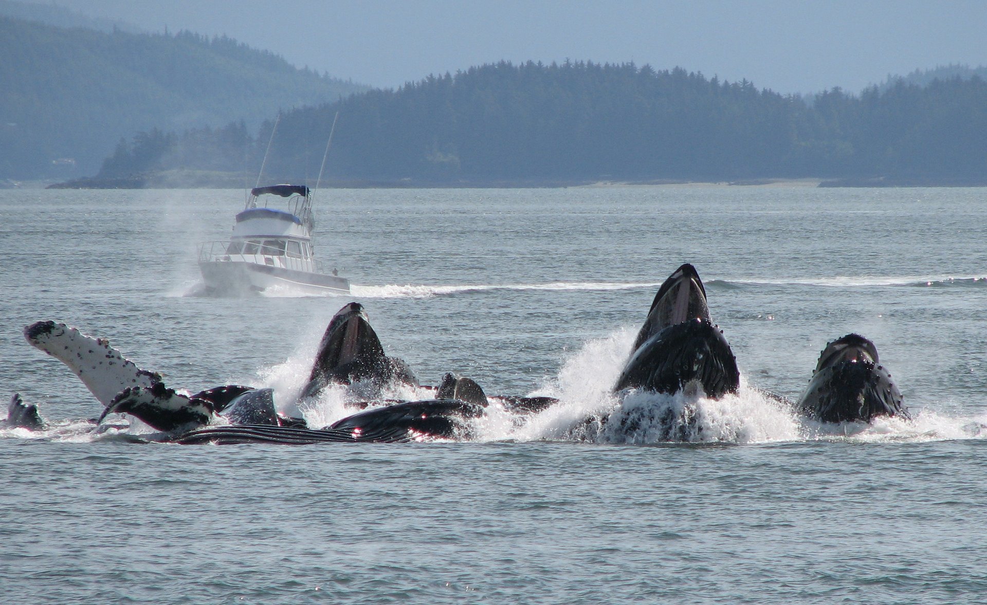
Humpback whales feeding as a group in a method known as bubblenetting.
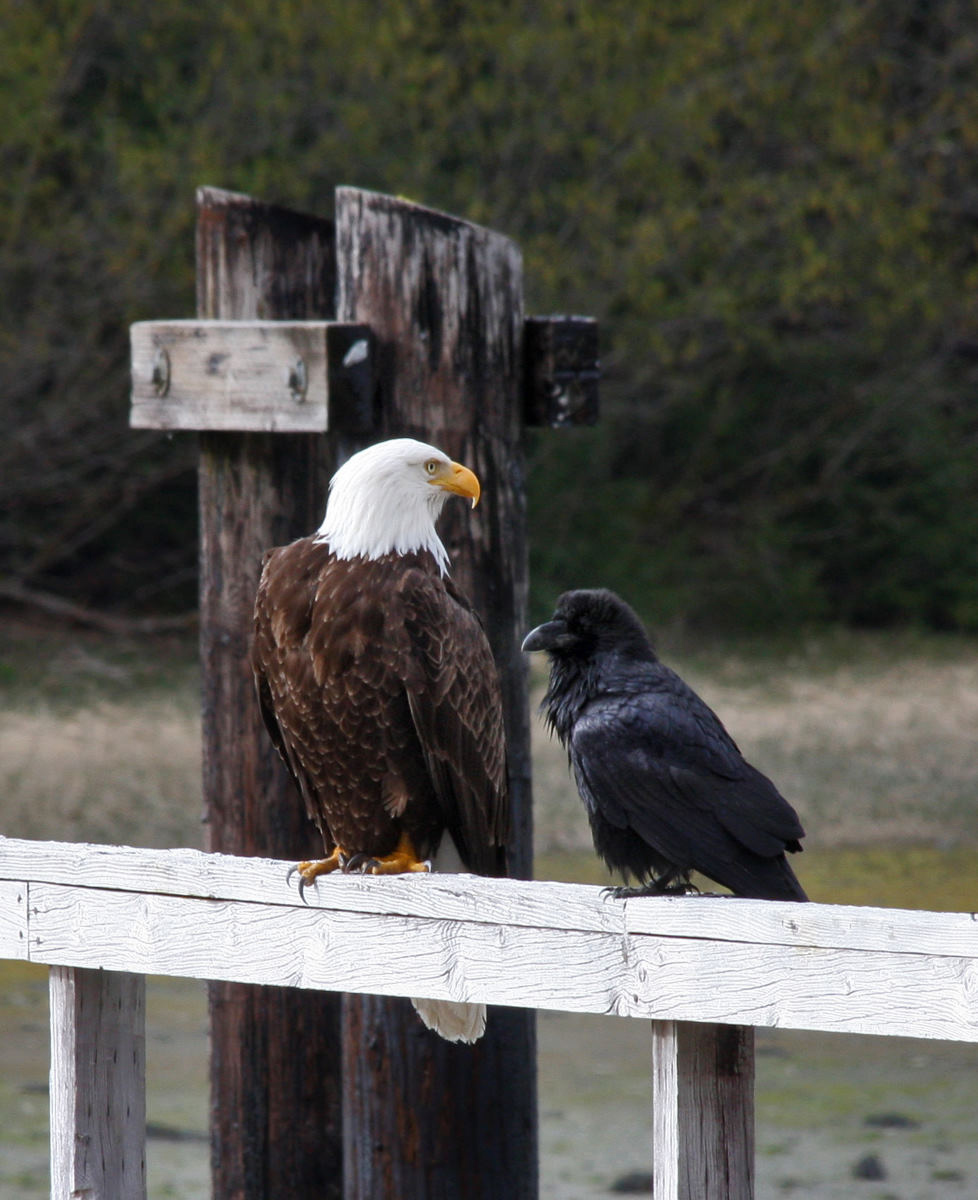
Two of the larger and most common land birds seen in Bartlett Cove are the raven and the bald eagle.
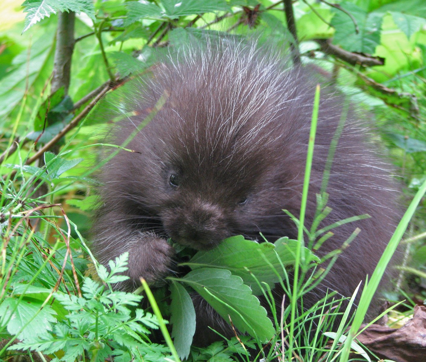
Baby porcupine at Bartlett Cove.
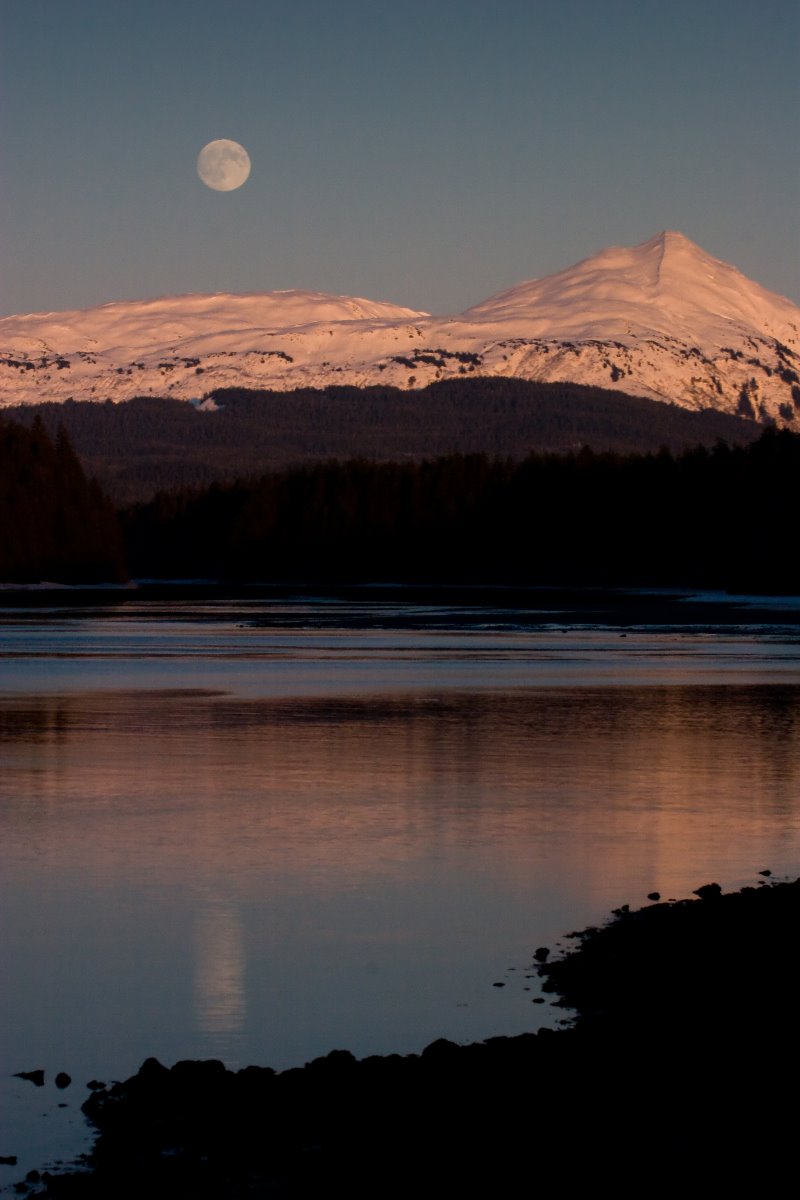
Full moon rises above Bartlett Cove.
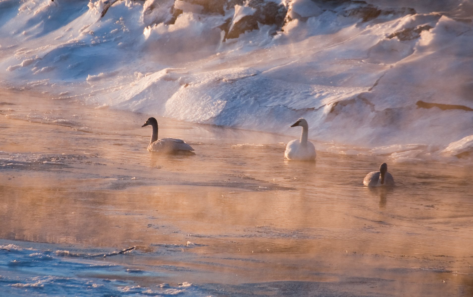
On a cold winter morning, three Trumpeter Swans navigate the ice-choked Salmon River in Gustavus.

A pair of Trumpeter Swans is resting along the edge of the Salmon River in Gustavus
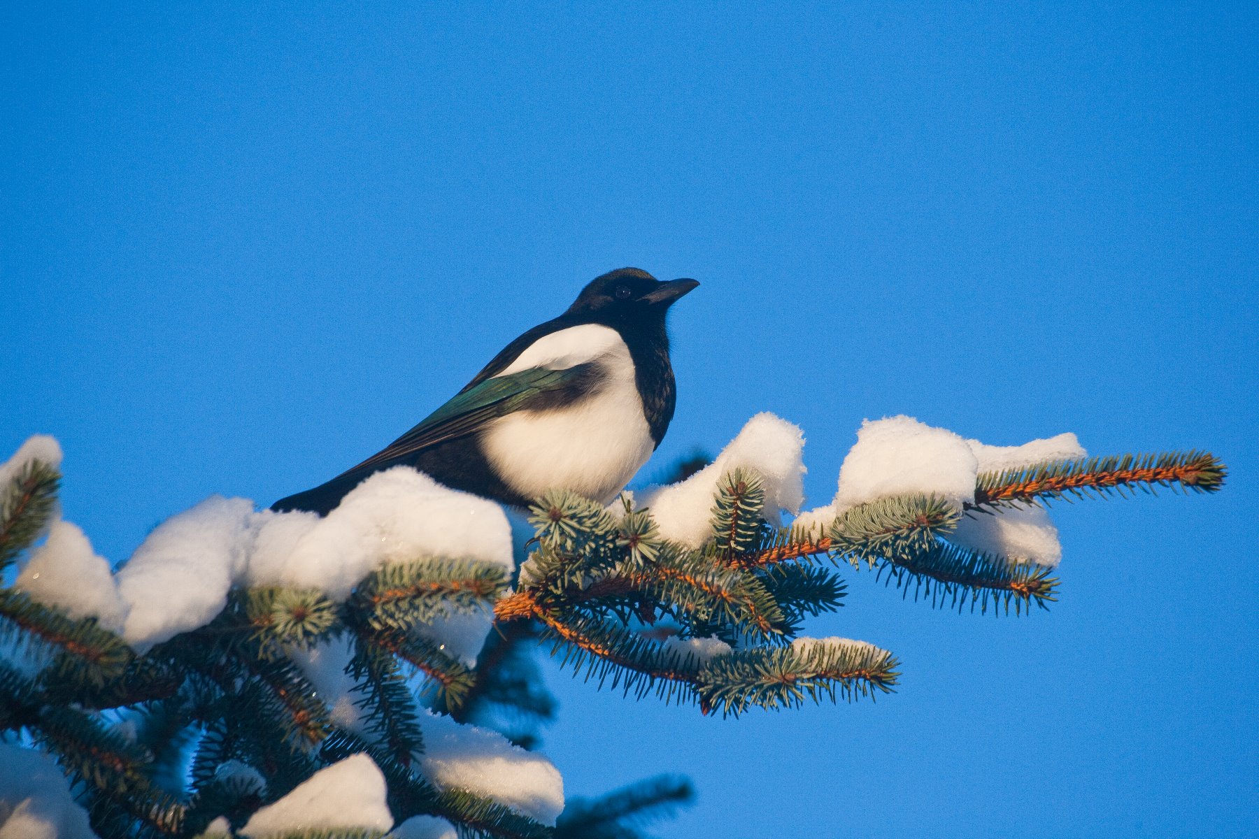
A Black-billed Magpie was perched just above the carcass of a dead deer.
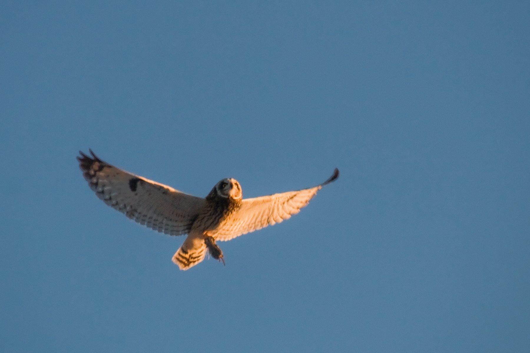
Owls are typically nighttime hunters.
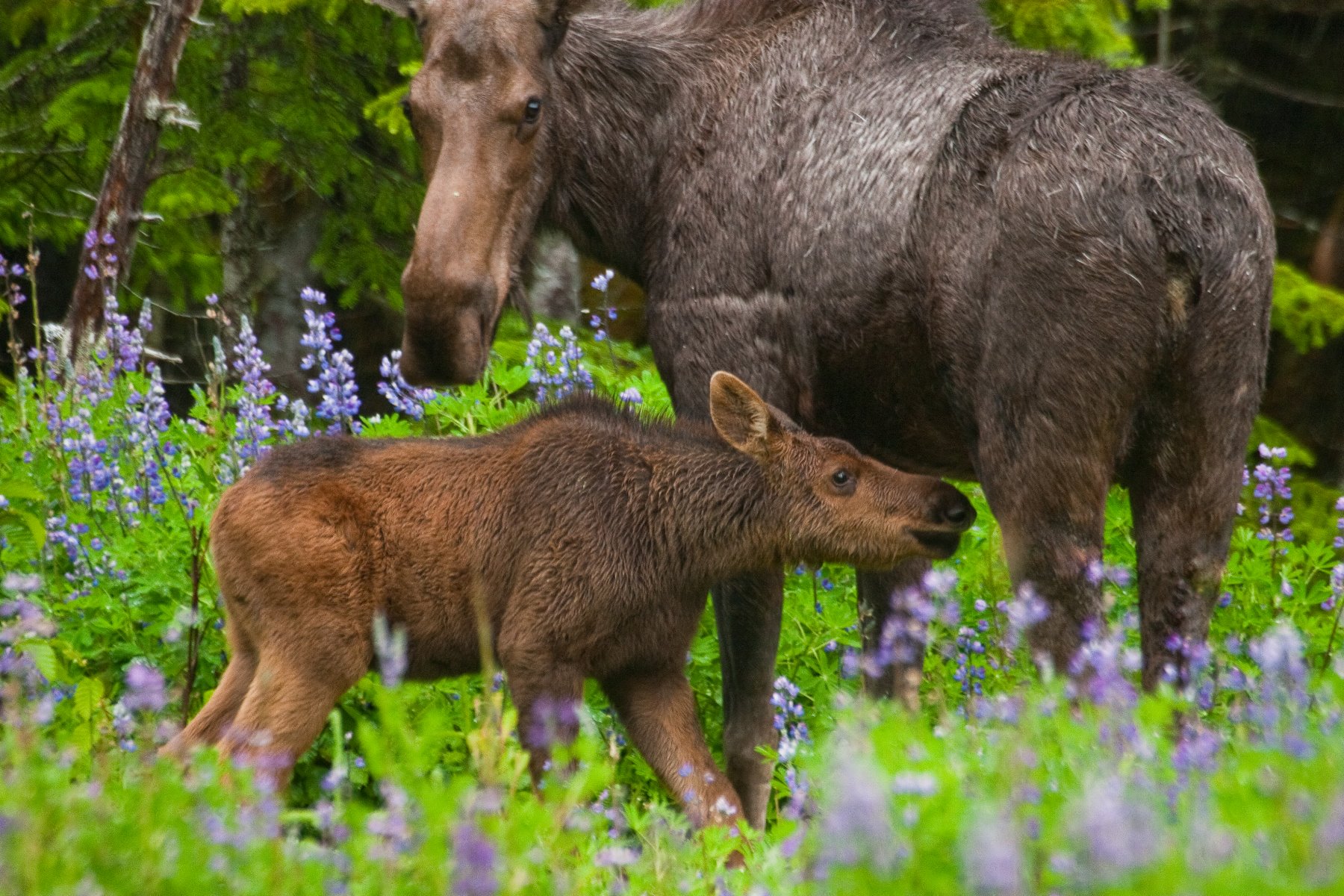
A young moose calf, only about five weeks old, nuzzles up to its mother.
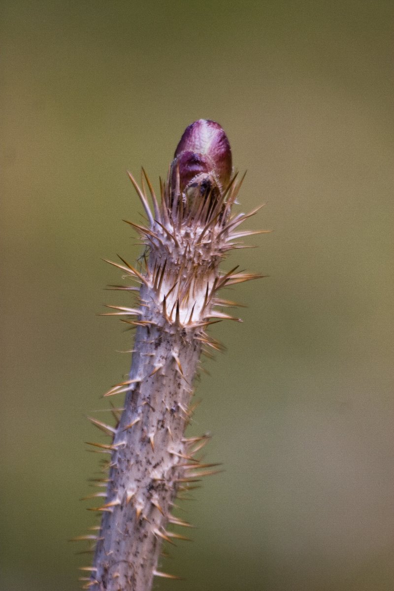
The most important plant to the native Alaskans of SE Alaska, the Tlingit, is the devils club.
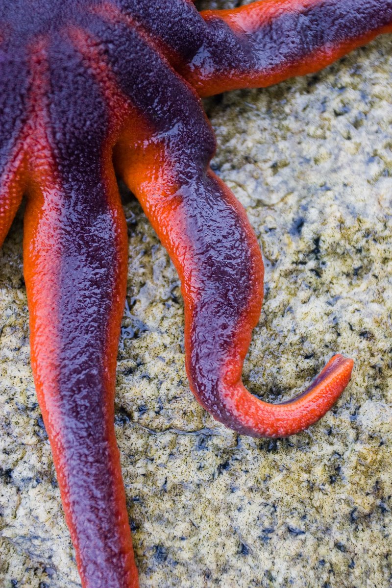
The solaster sea star is an intense orange and purple.
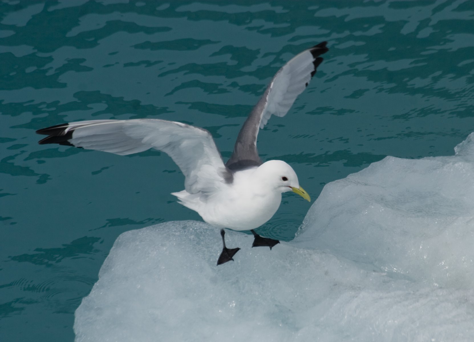
Black-legged kittiwakes are a fairly common sight near the faces of Glacier Bays
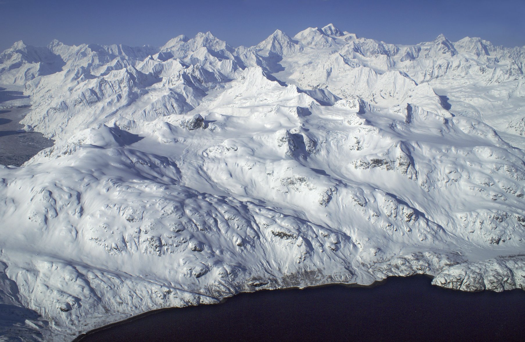
The Fairweather Range

Bald Eagle with a fish in its talons
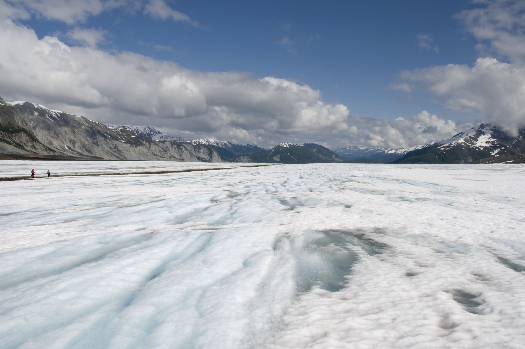
Small portion of a huge, huge glacier.

Winter ski-ing in the upper intertidal next to the ocean in the short days.

The black line in the photo is a partially buried glacier ice worm (about ¼ inch long). Glacier ice worms live in glacier ice and in snow on glaciers.
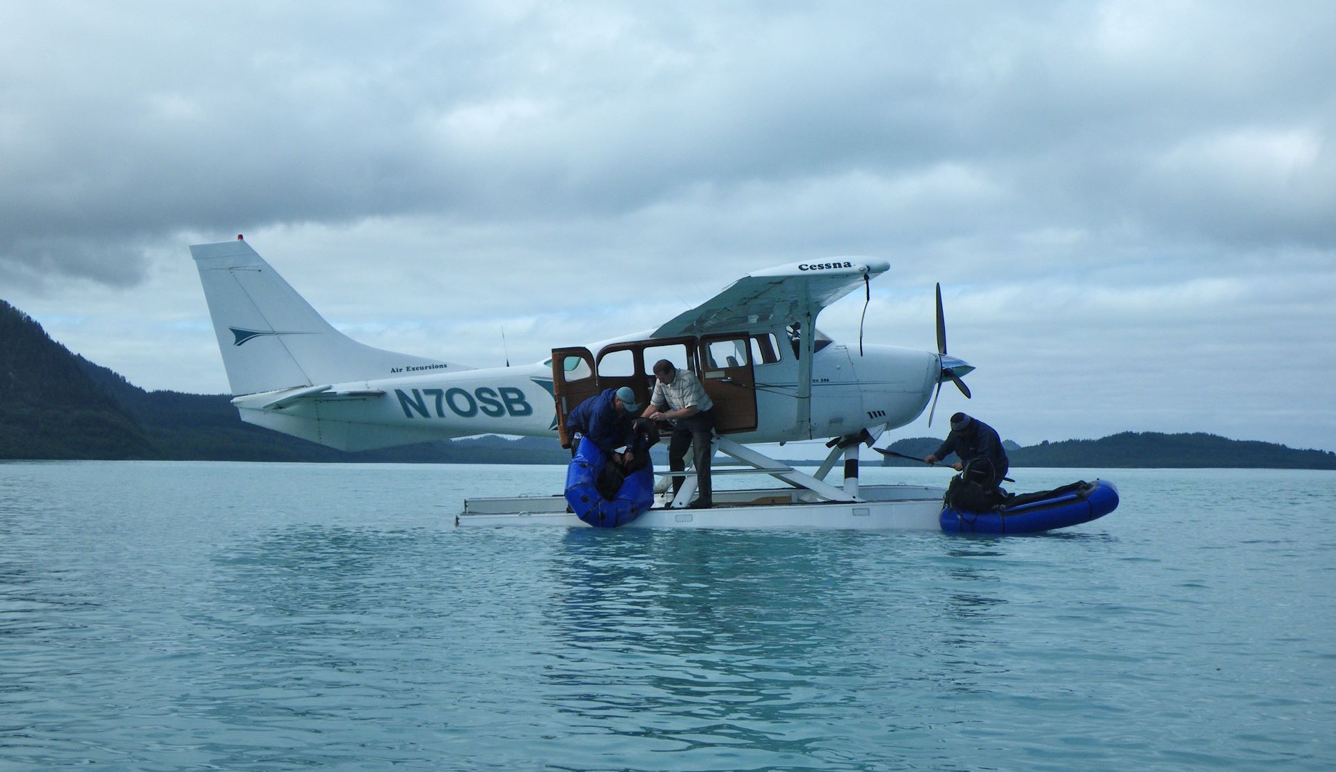
Most of the land in Glacier Bay National Park is designated wilderness without motorized access.
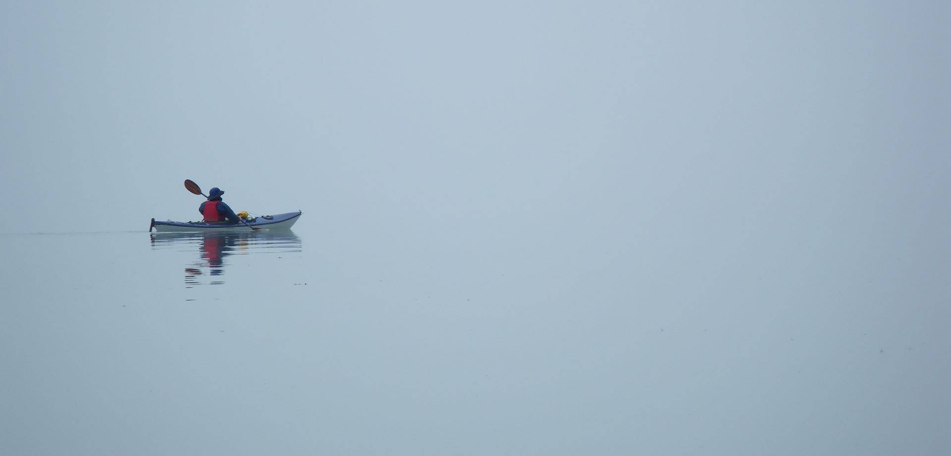
Kayaking in fog – it is eerily quiet, and peaceful.
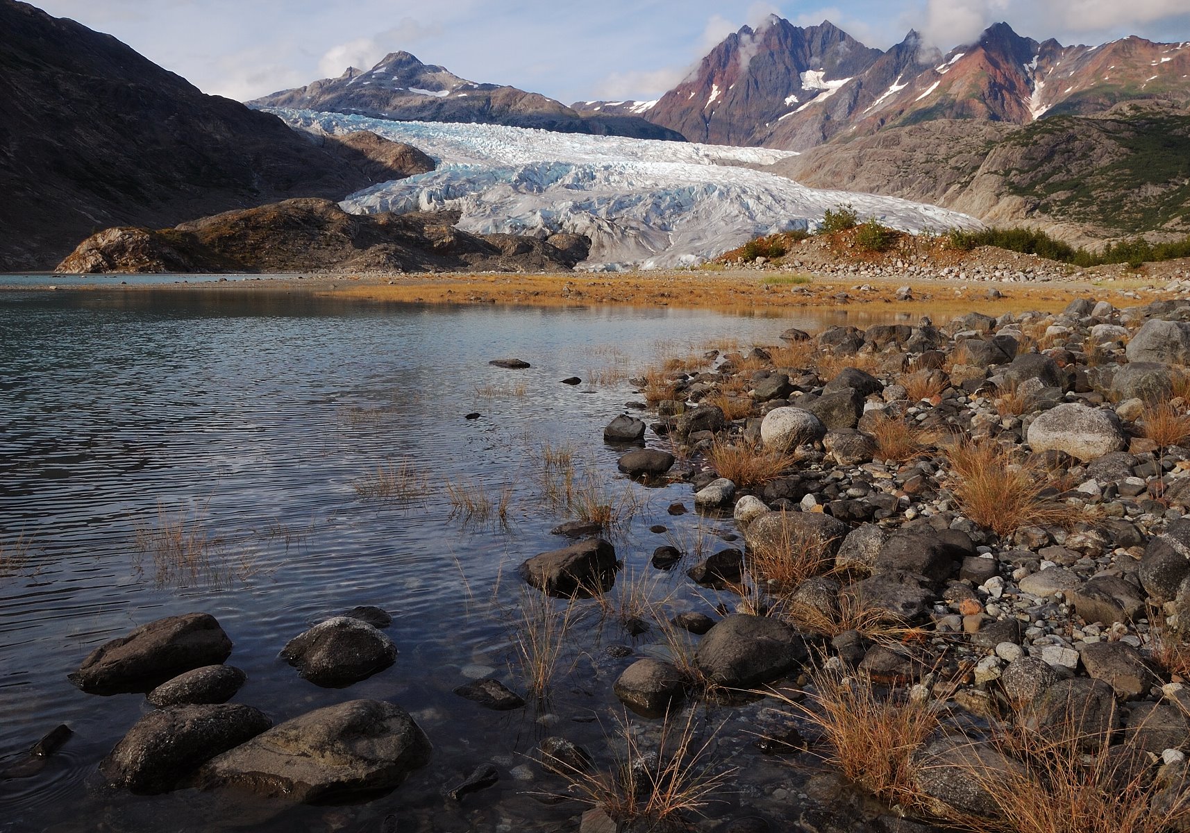
And the Wild is calling, calling . . . let us go.

Ice worms crawling around the granulated snow.
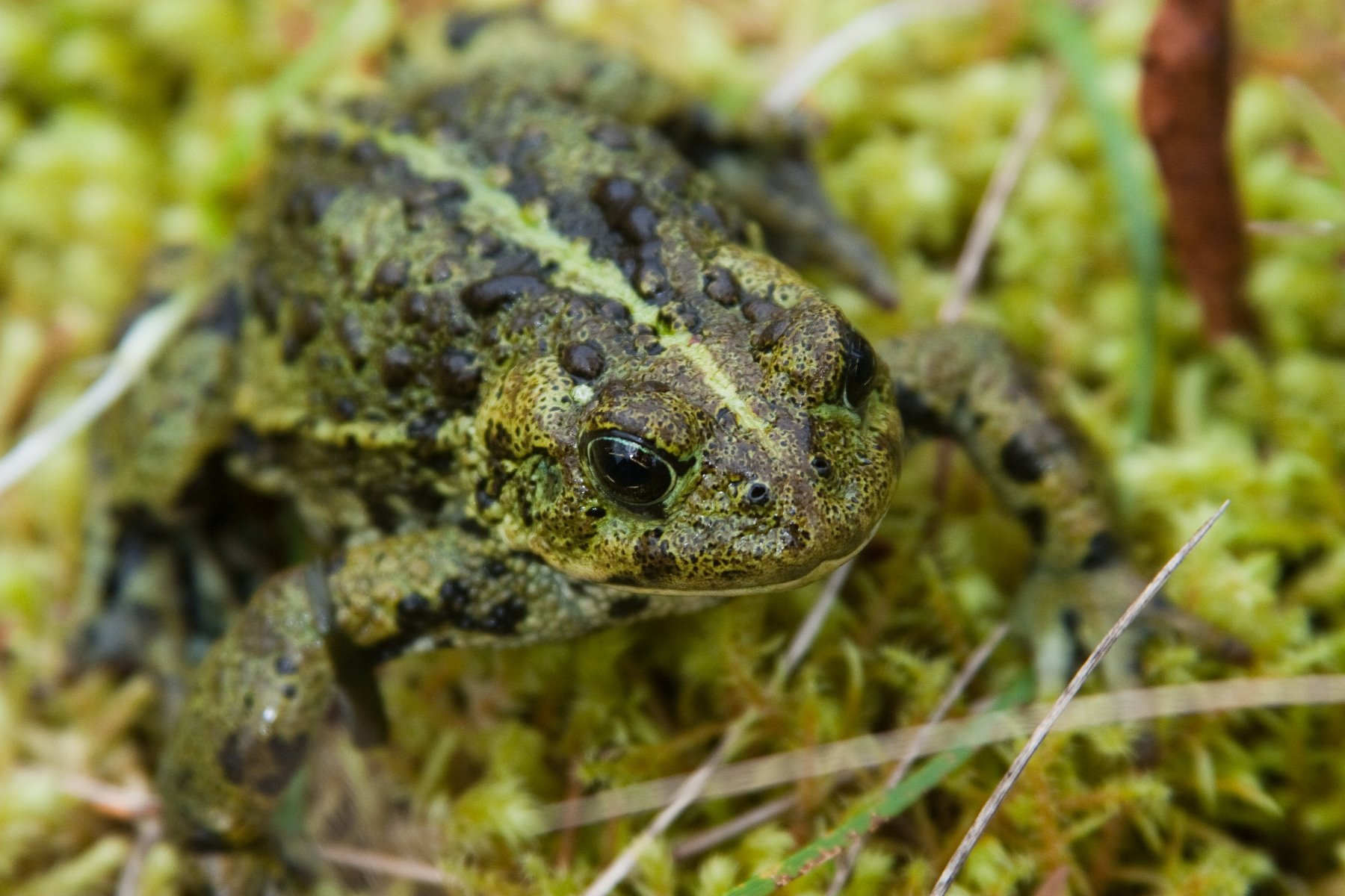
Toads are important. Scientists refer to amphibians as indicator species. Amphibians, like this boreal toad, are extremely sensitive to small changes in their environment.
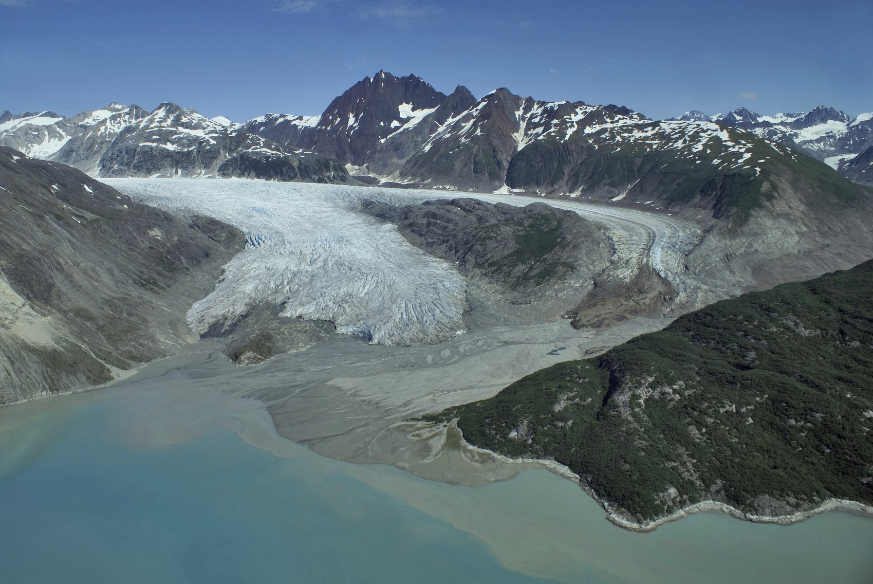
Riggs Glacier on July 19, 2007.
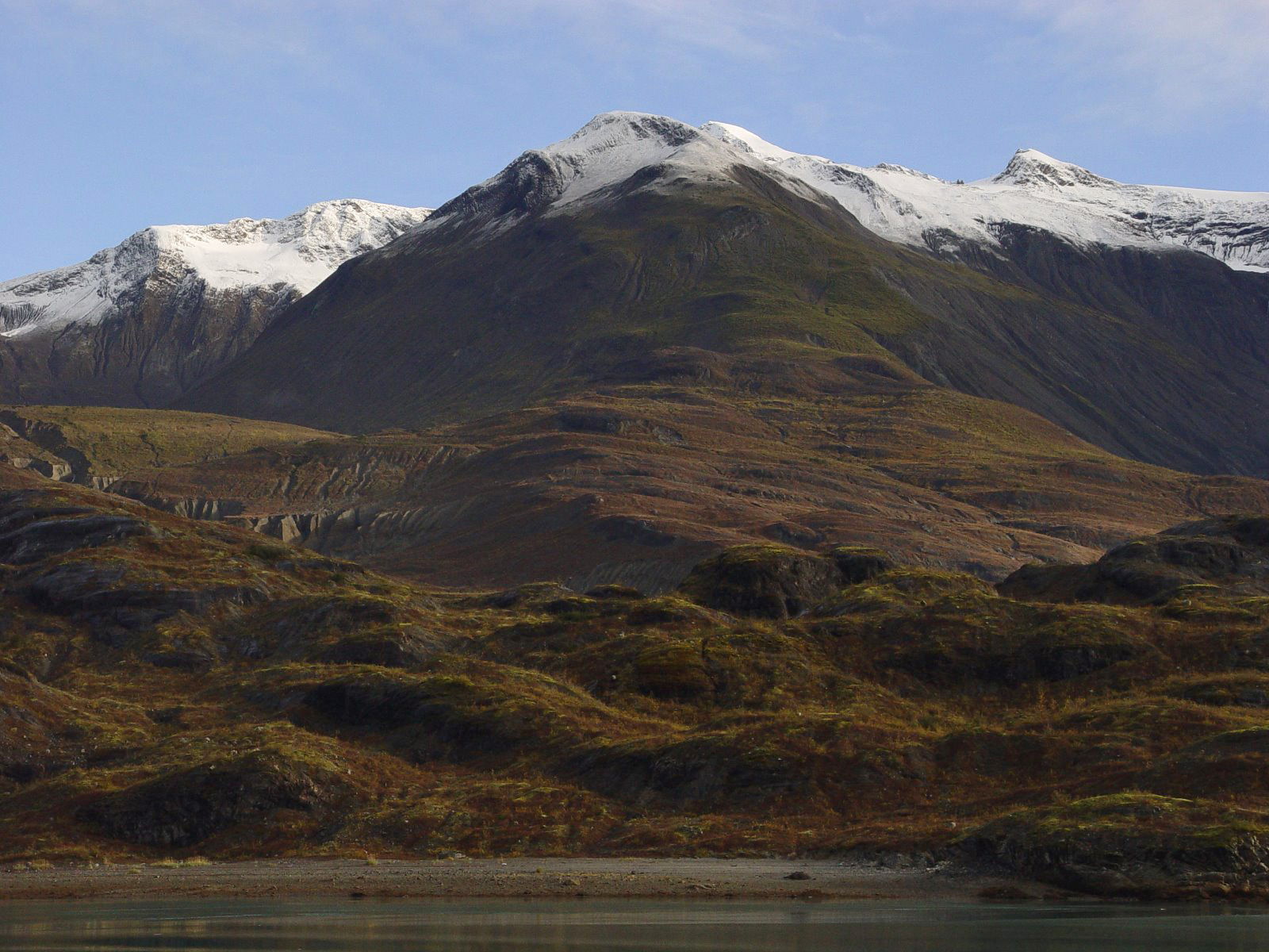
It’s fall and blue skies have emerged after another wet day. These hills are covered with a low growing pioneer plant called dryas, and when dryas fruits are wet their white feathery part becomes translucent and the overall color of the fruit head becomes brown, red brown.
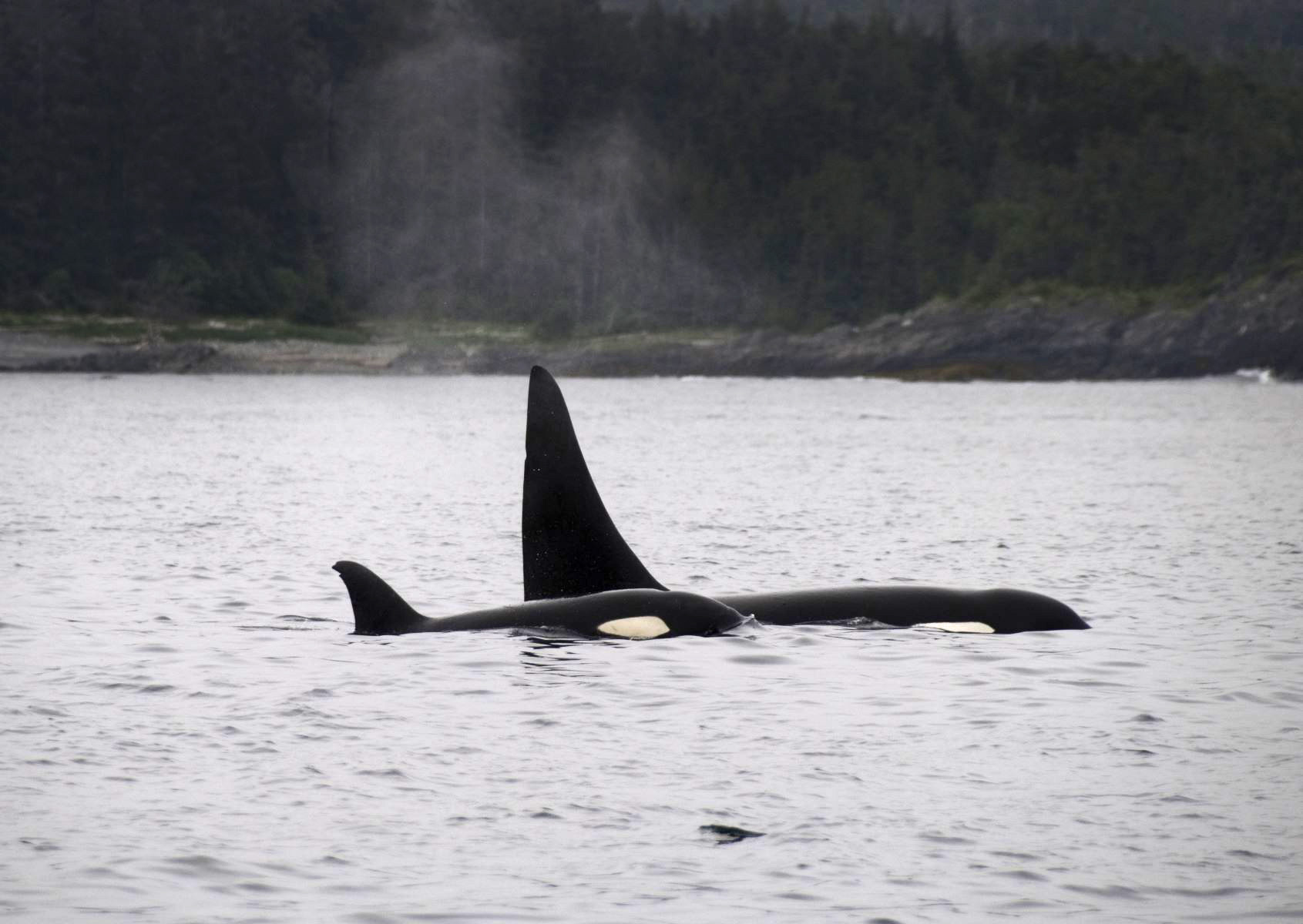
Orca, don’t see them often, maybe once or twice a year. Some years none at all. They always strike me as on the move, heading somewhere. Bears amble, wolves mosey and double back. Humpbacks dive and surface. Orca seem to just go. As if they are late for an important appointment.
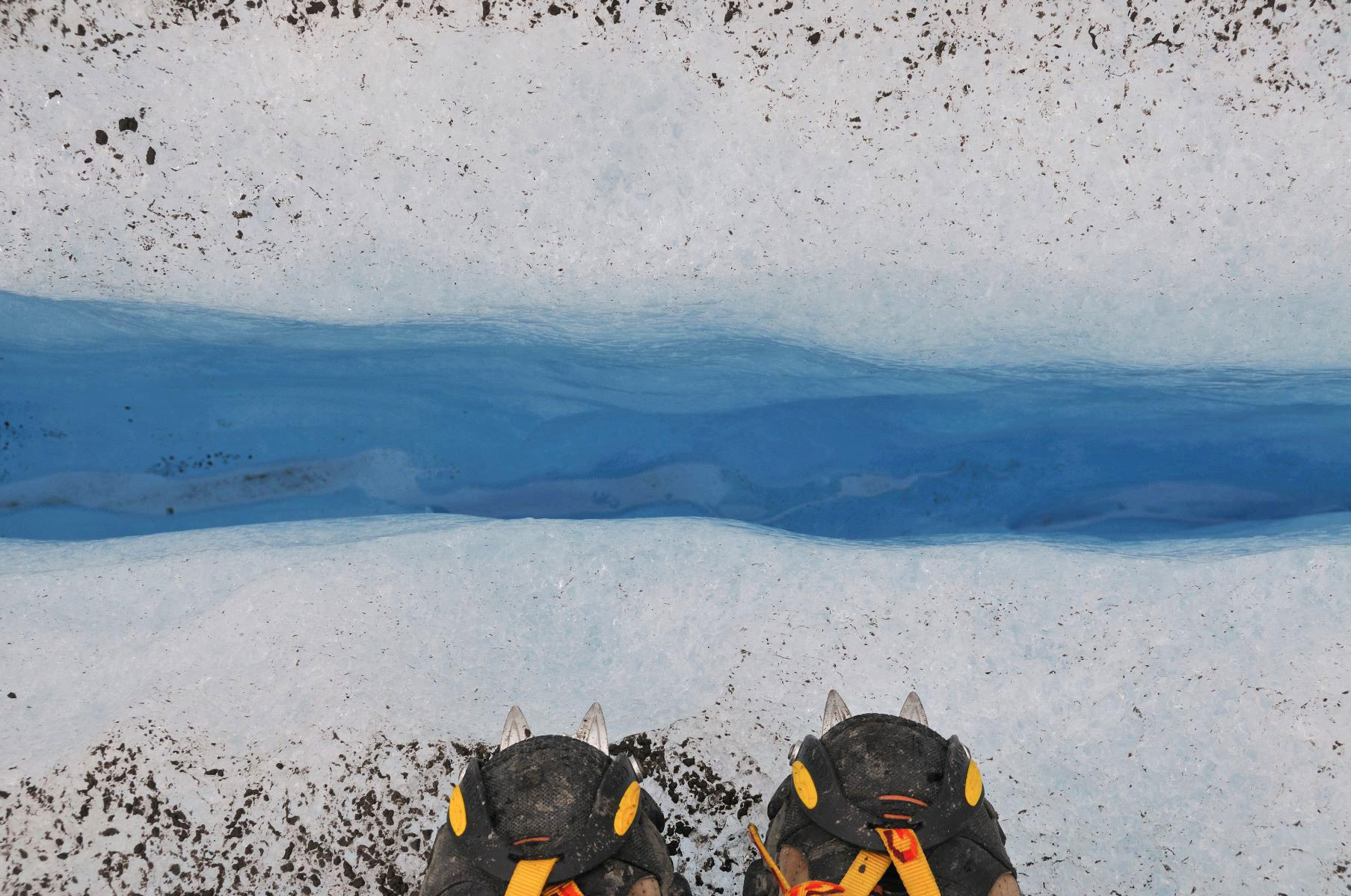
This little crevasse is full of water. In the bottom of the crevasse are little pockets where bits of gravel and sand accumulate.
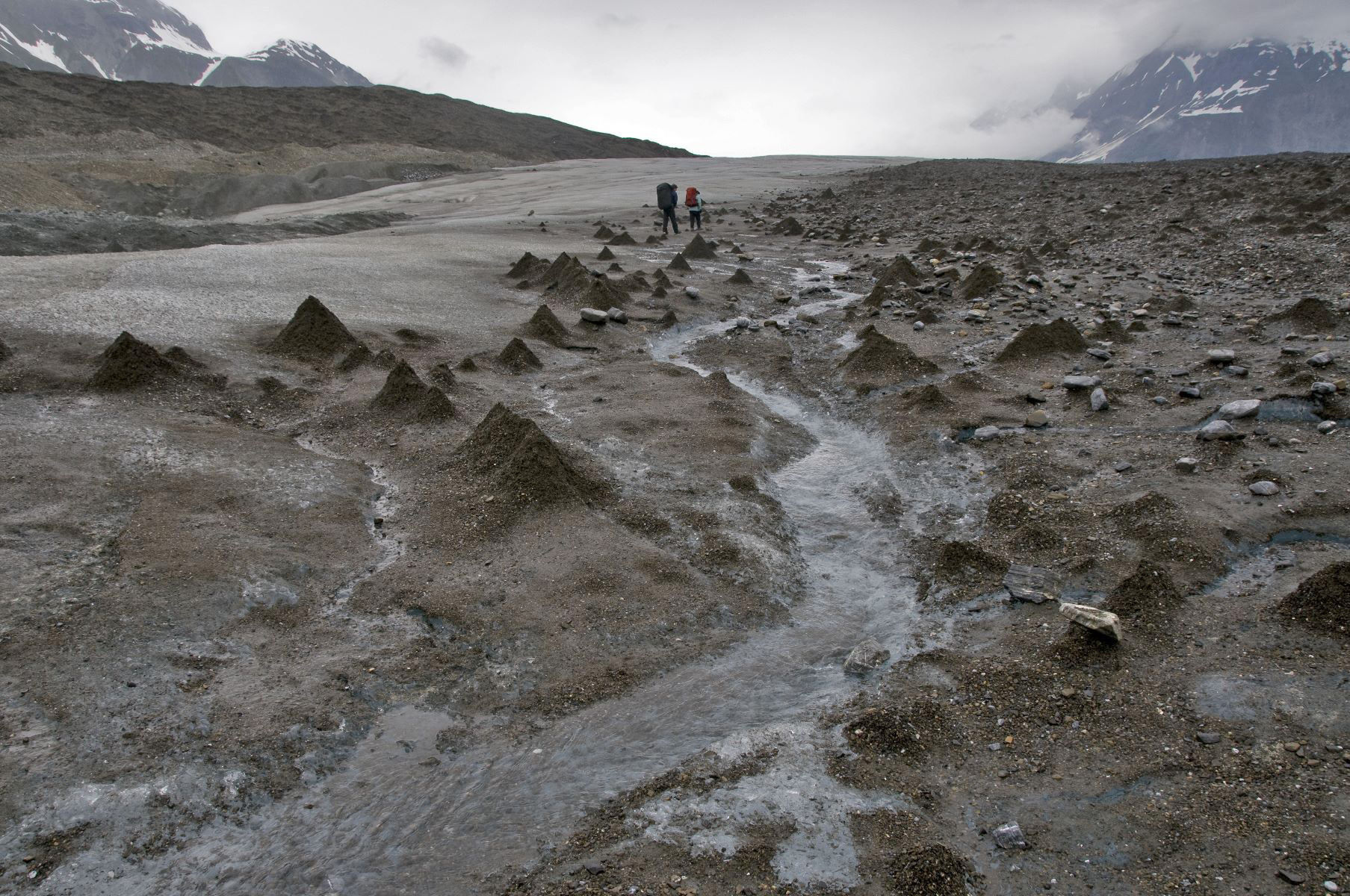
The cone shaped mounds are called glacier cones or debris cones. They are mostly ice with a thin veneer of gravel and sand over a cone of ice.
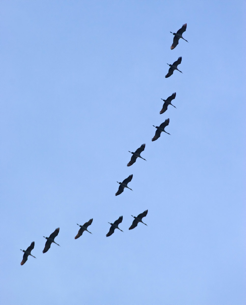
Every spring and fall, the morning air fills with the ancient and primal call of the Sandhill Crane. The locals know that when they hear this sound in April, winter is gone.

Before the days of plastic fishing floats, glass balls were sometimes used to suspend large fishing nets. Most glass floats found in Alaska are apparently from Japanese fishing vessels.
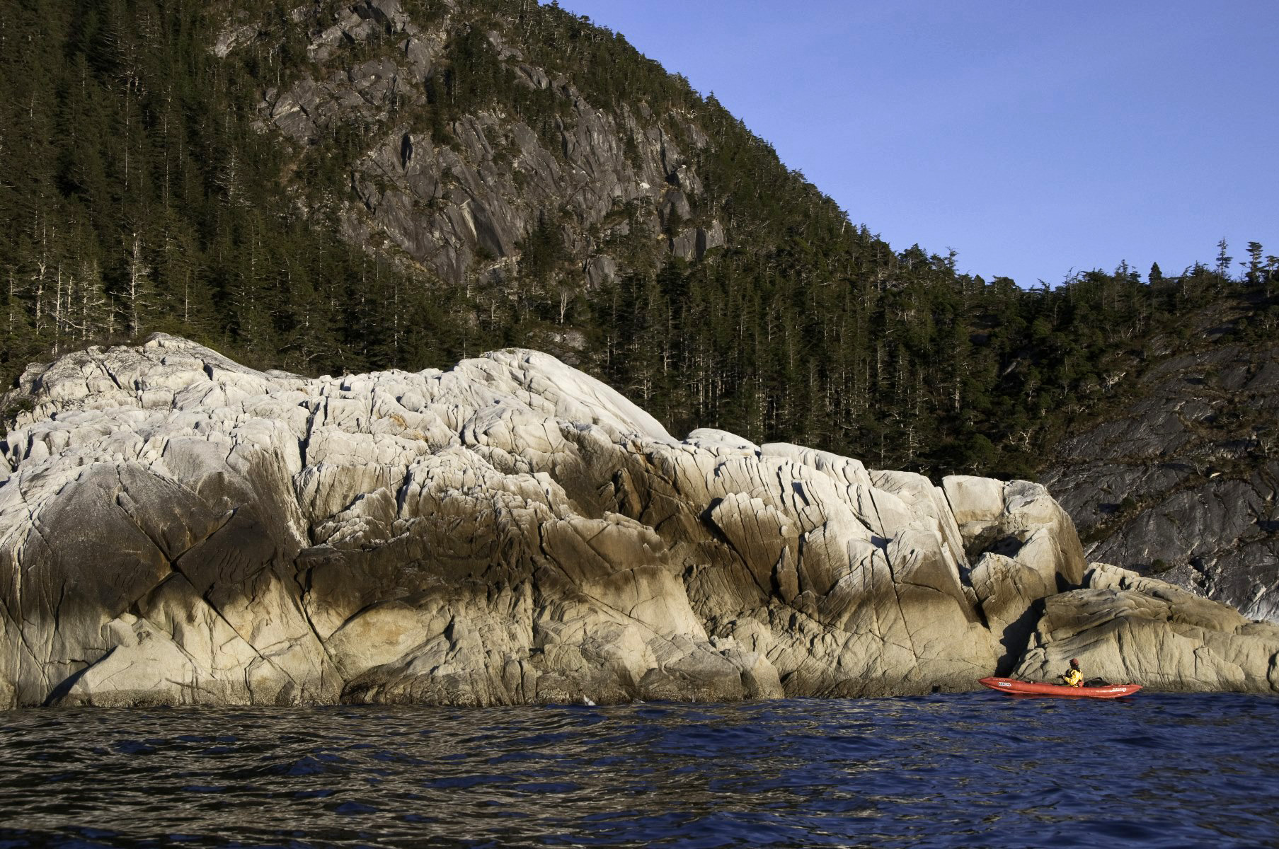
These outer coast headlands of hard granite-like rock are infrequently visited by kayakers.
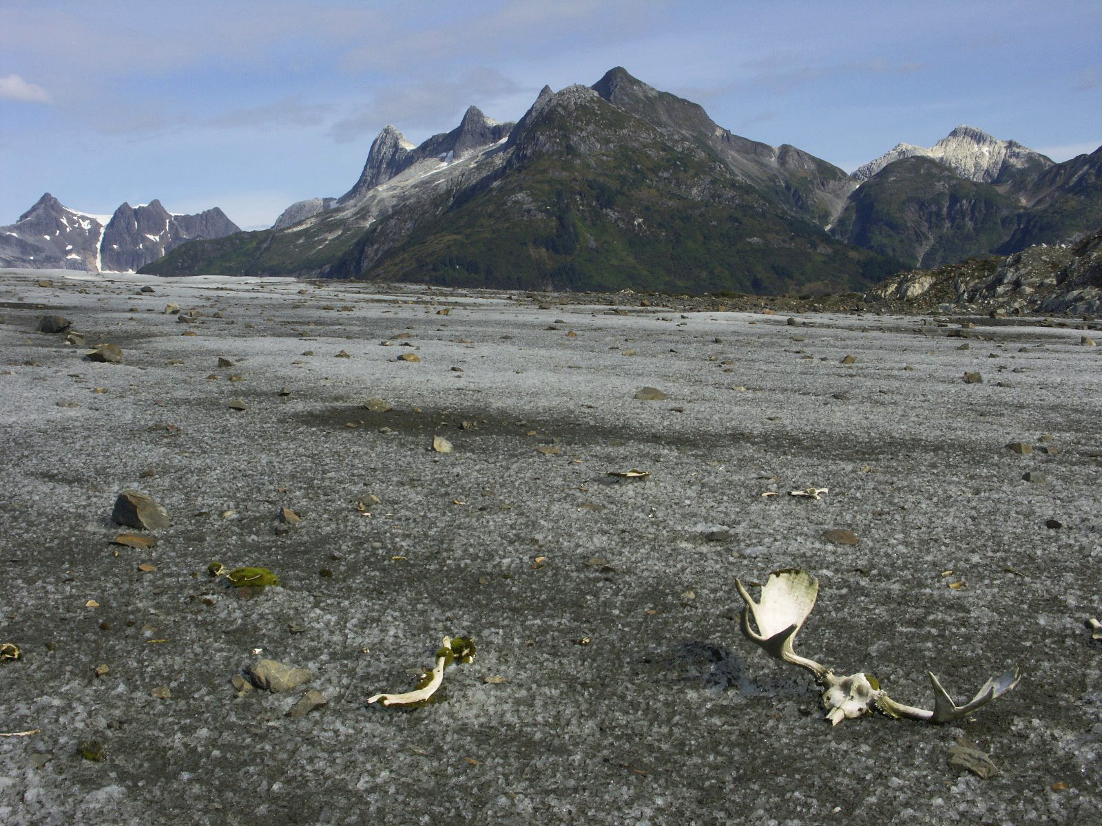
When you find a mooses bones out on the Brady Glacier, you’ve got to wonder. After all, there isnt exactly a lot to eat out there.
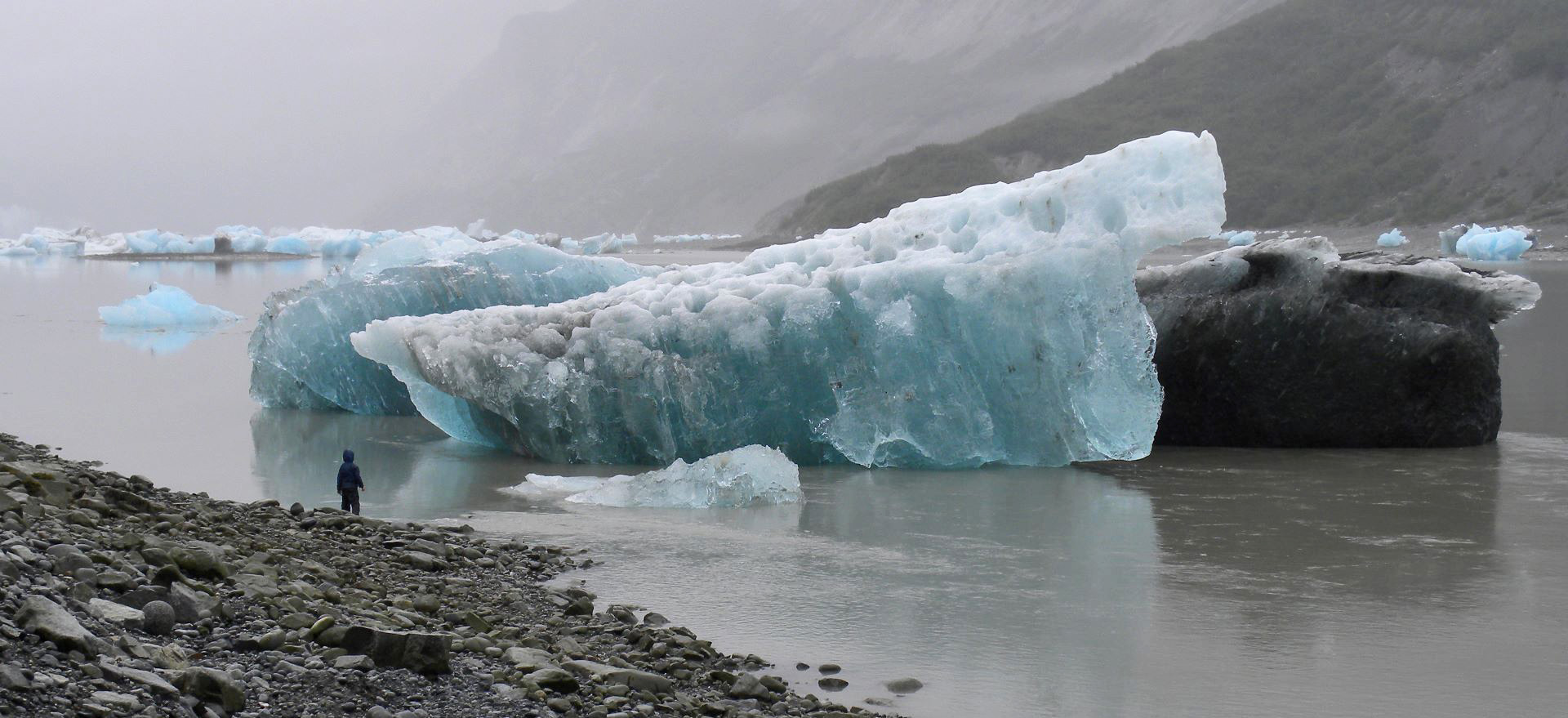
Magic moments abound in Glacier Bay ten years old and skipping rocks with icebergs


